This property has sold.
The interactive map and property-line walking tools remain available. Driving directions are not provided for sold properties.
Property Description
- Beautiful Remote Recreational Retreat
- Adjacent to Wayne National Forest
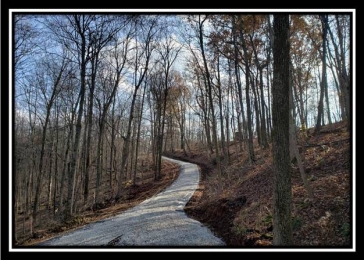
- New Gated Gravel Driveway installed to new Camper/Cabin site
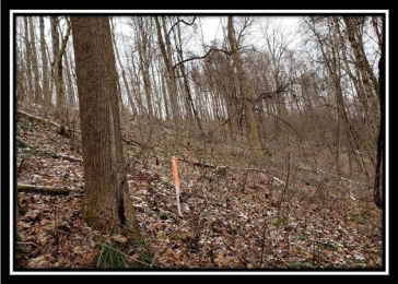
- Fully Wooded
- Tremendous Views
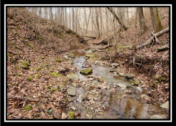
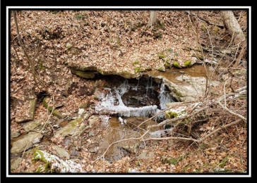
- Edwards Run Creek flows across the north boundary of the property
- Short walk through Wayne National Forest to the Little Muskingum River
- Loaded with wildlife
- Excellent Deer and Turkey Hunting
- Mineral rights transfer subject to historic 3/4 reservation of royalty to existing oil and gas leases (ATO)
- No Deed Restrictions
- 11.666 Acres, Surveyed 2009, Edwards Run Tract #1
- Ludlow Twp, Washington County
- Frontier Local School District
- Taxes are currently $88.58 per year
- Parcel #22-0070868.001
Conveniently Located: - 30 Miles to I-77 at Marietta
- 57 Miles to Wheeling, WV
- 110 Miles to Pittsburgh, PA
- 121 Miles to Columbus
- 130 Miles to Akron
Location Information: Pam Road, New Matamoras, OH 45767 (Pam Road does not map correctly just past this property, Pam road goes through this tract and follows western edge of tract 2)
GPS Coordinates : 39.562137, -81.146700
Edwards Run Aerial
Edwards Run USGS Topo Map
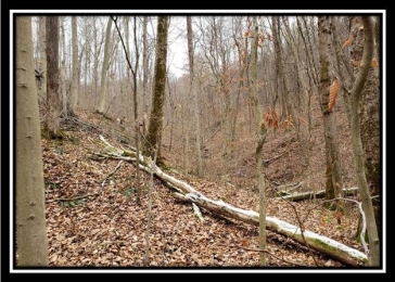
Located near the end of a dead end road is a great new secluded property bordering Wayne National Forest. It has a newly installed gravel driveway with gated entrance leading to a nice destination spot overlooking the wooded valley below. The land is best described as mostly open canopy forest with sloping topography and a wonderful creek at the bottom. Good hunting, tons of wildlife, lots of seclusion and directly bordering Wayne National Forest make this a wooded play ground at a great price. Give us a call and come check it out today!
Property photos