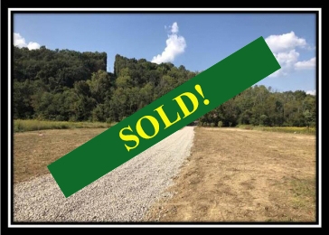
This property has sold.
The interactive map and property-line walking tools remain available. Driving directions are not provided for sold properties.
Property Description
Own your own camp site adjacent to
Forked Run State Park Camp Grounds
Less than 1 mile to Forked Run
Lake and Ohio River Boat Ramp
Approximately 2 acres open,
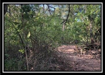
remainder wooded with a mixture of
young and mature hardwoods
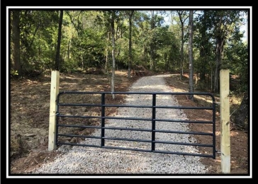
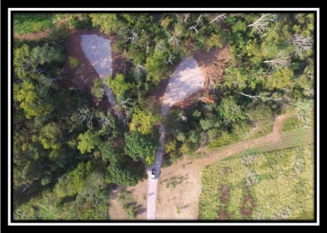
New Gated Entrance
New Gravel Driveway to secluded
Camper/RV/Cabin or Building Site
585 feet of driveway is shared
with adjacent tract
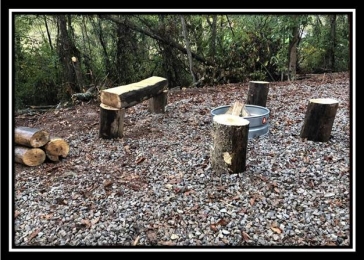
Fire Ring and Custom Bench
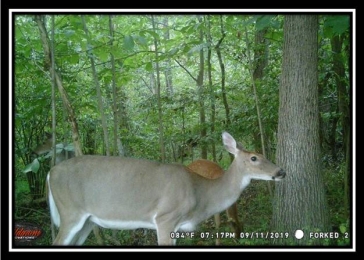
Abundant Wildlife
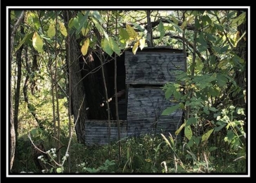
Excellent hunting on the property
and on public lands in the area
Adjacent to Forked Run State Park
Over 3000 acres of public hunting
on Shade River State Forest and Forked
Run State Park
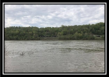
Waterfowl hunting and fishing
available on Forked Run Lake and the
Ohio River
Varied topography from nearly
level to moderately steep
Beautiful Remote Country Setting
No Zoning and No Deed Restriction
Tupper Plains-Chester Water
Aspire Energy
Windstream Communications
Lot B - 10.5437 Acres-Surveyed
2003, monumentation recently relocated
and flagged
Additional Acreage Available
Olive Township, Meigs County
Eastern Local School District
Parcel # 09-00915.000
Taxes are currently $222.36 per
year
Conveniently Located:
Adjacent to Forked Run State Park
.8 miles to Forked Run Lake
.8 miles to Ohio River Boat Ramp
2 miles to Shade River State
Forest
26 miles to Parkersburg WV
32 miles to Athens
35 miles to Marietta
99 miles to Columbus
146 miles to Canton
Shade River State Forest
Forked Run State Park
Location Information:
Estimated Address (not officially
assigned): 63072 Ohio River Scenic
Byway, Long Bottom, OH 45743
GPS Coordinates: 39.084211,
-81.776308
Forked Run
Aerial
Forked Run Park
Location Aerial
Forked Run USGS Topo
Map
Forked Run State Park
Hunting Area Map