This property has sold.
The interactive map and property-line walking tools remain available. Driving directions are not provided for sold properties.
Interactive property map
Explore this property map. Switch aerial, topographic, soil, water, contour, and terrain layers while the mapped project boundary stays visible.
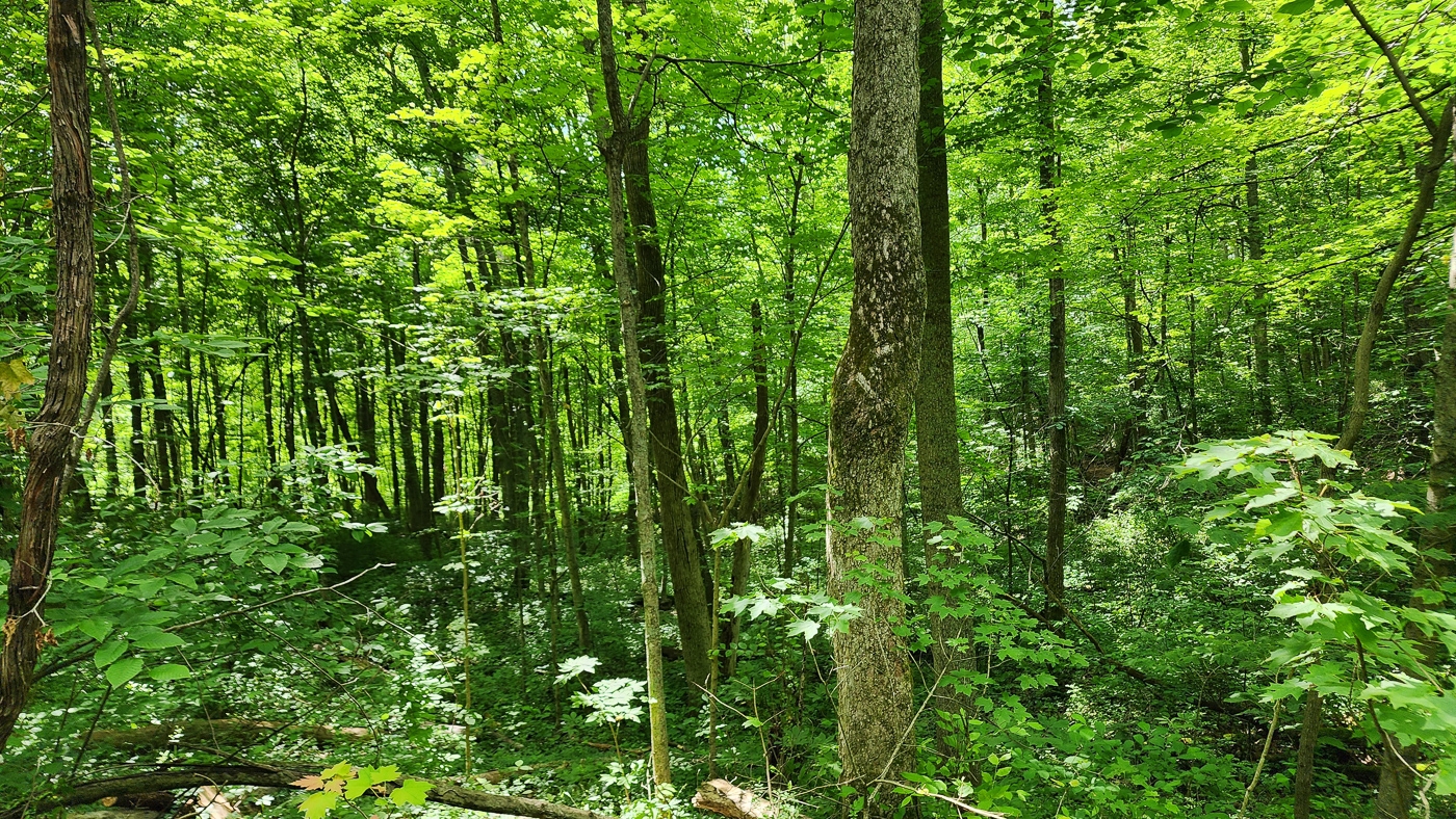
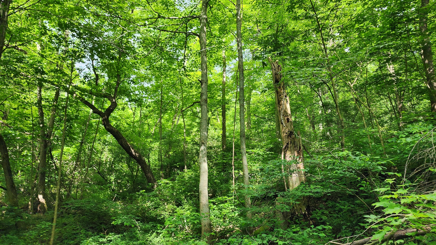
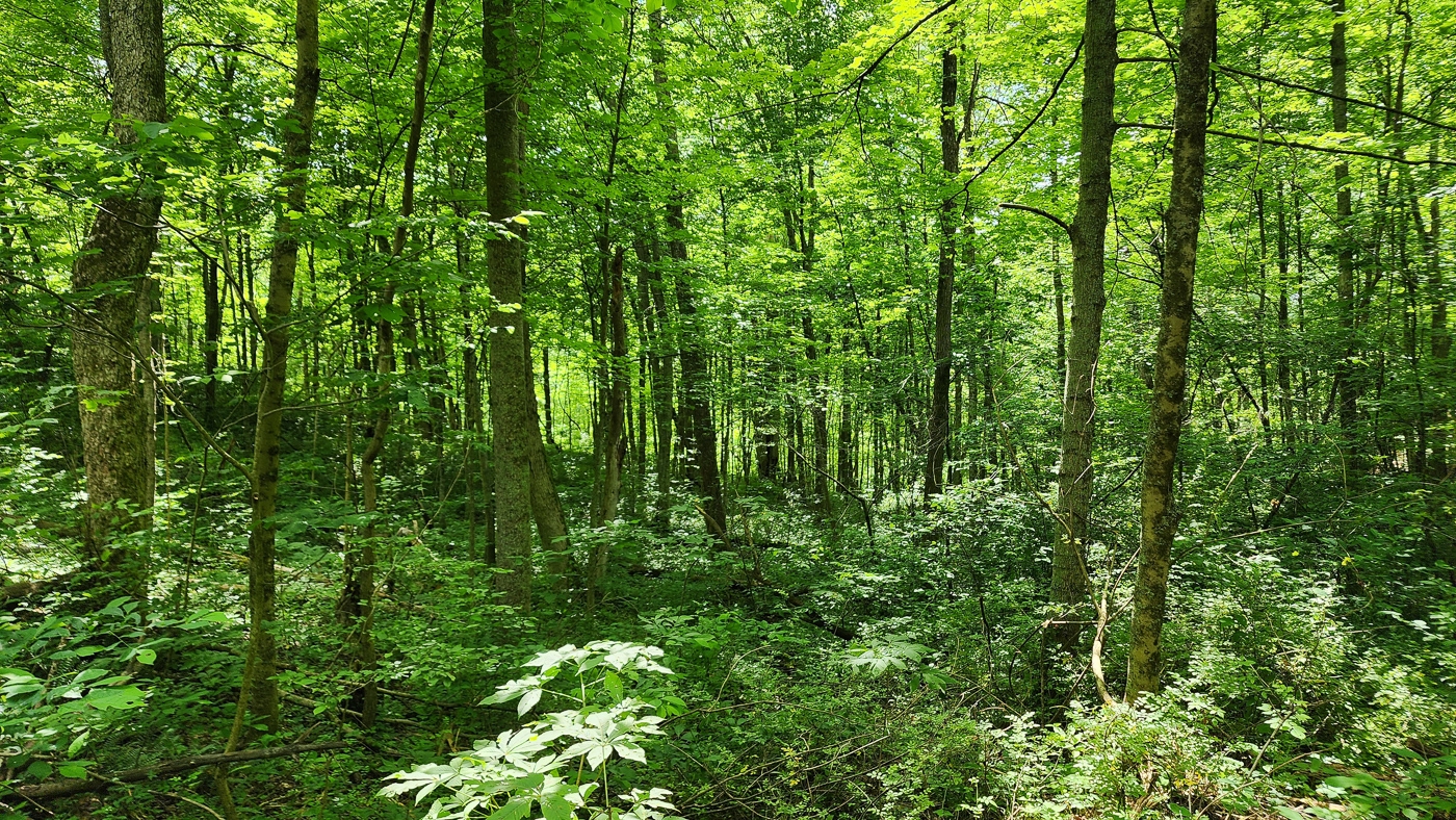
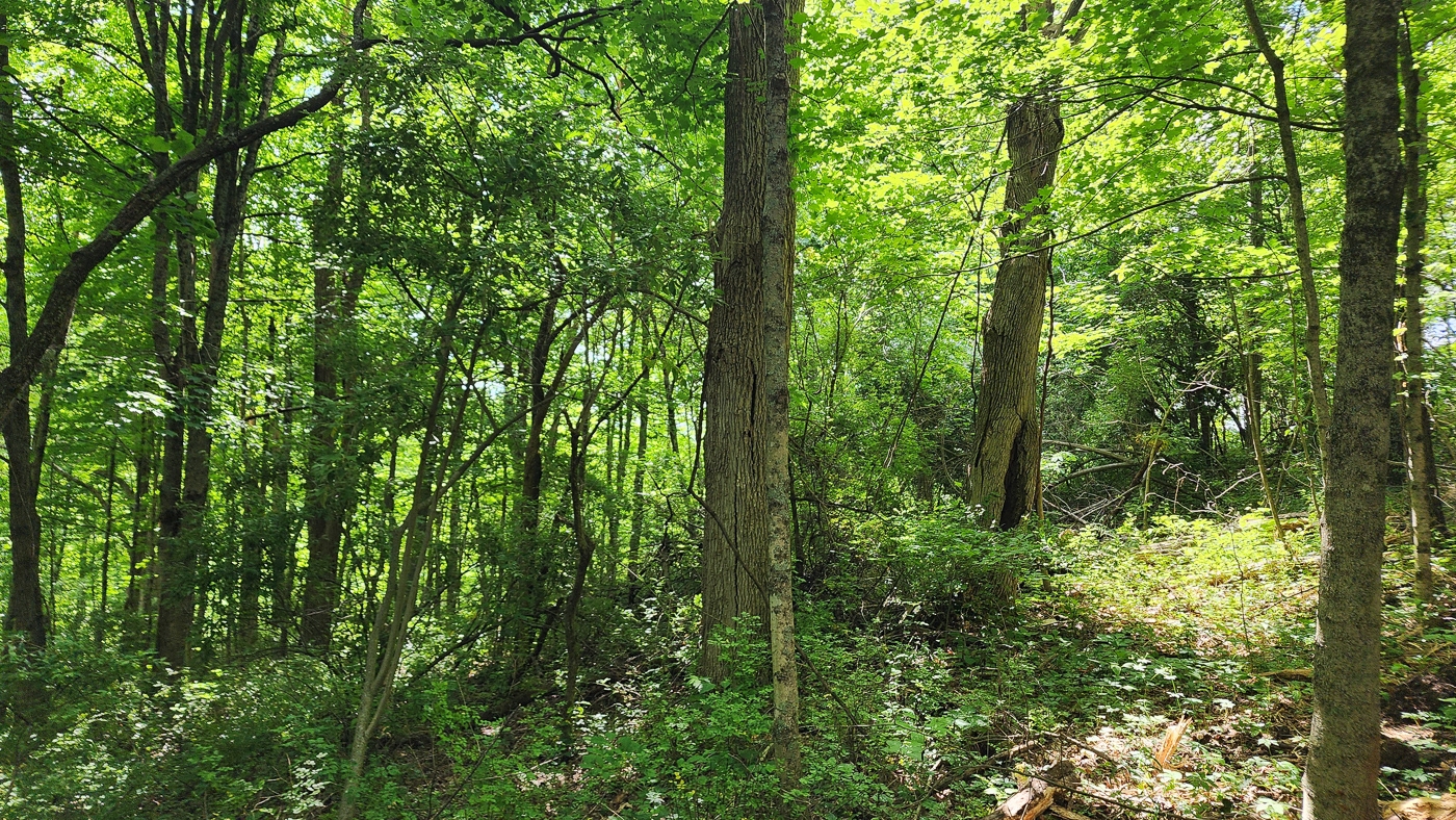
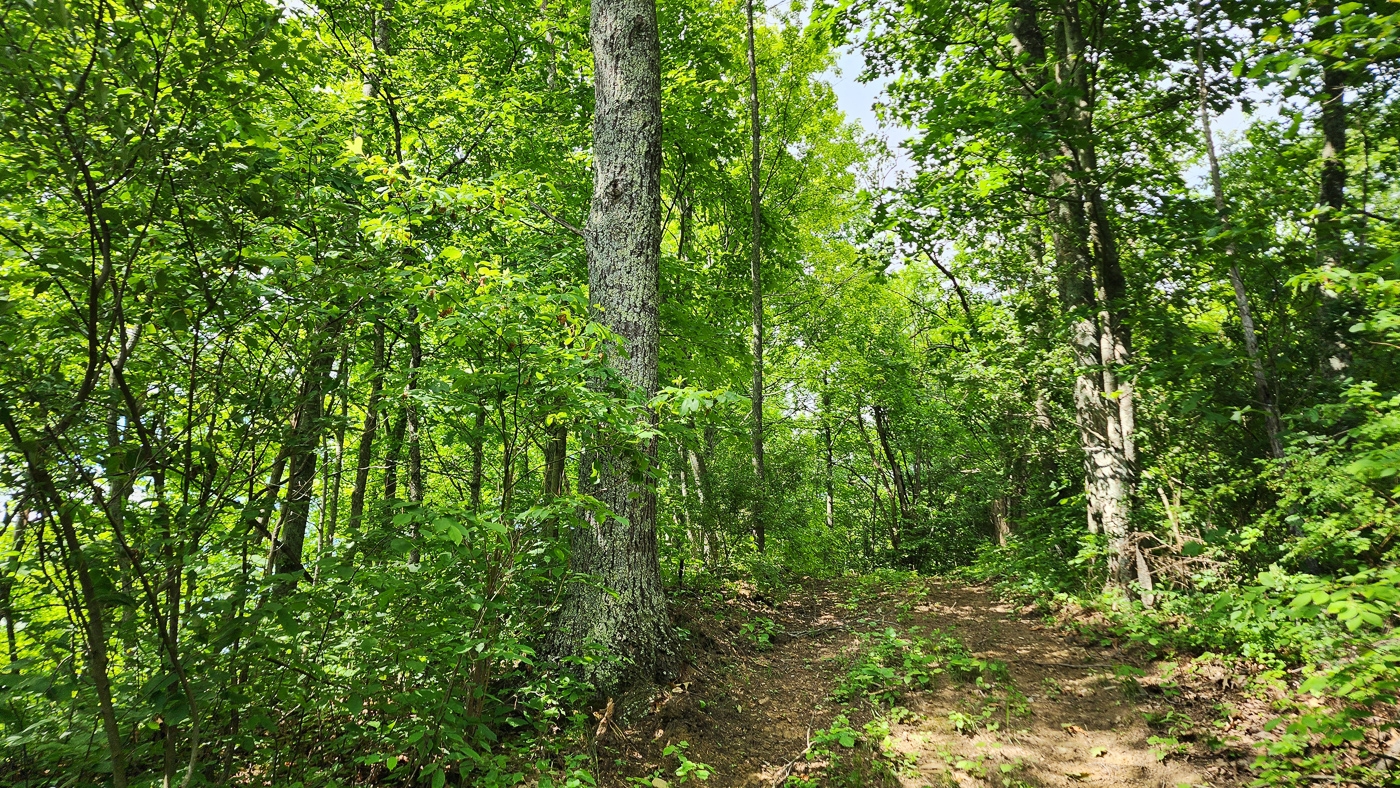
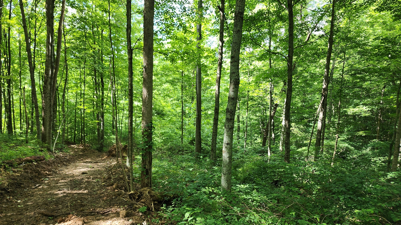
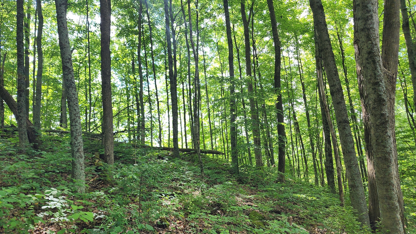
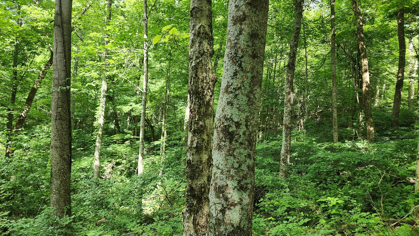
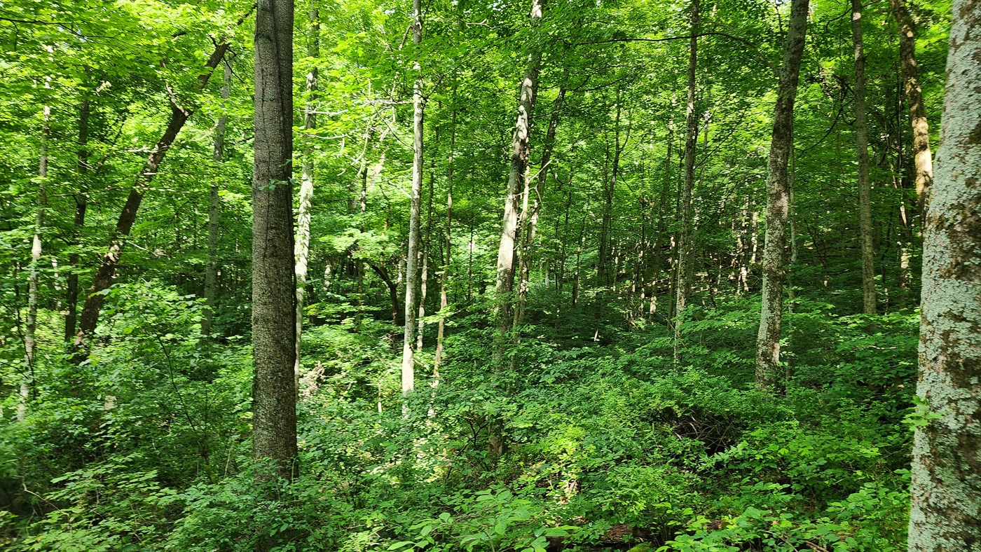
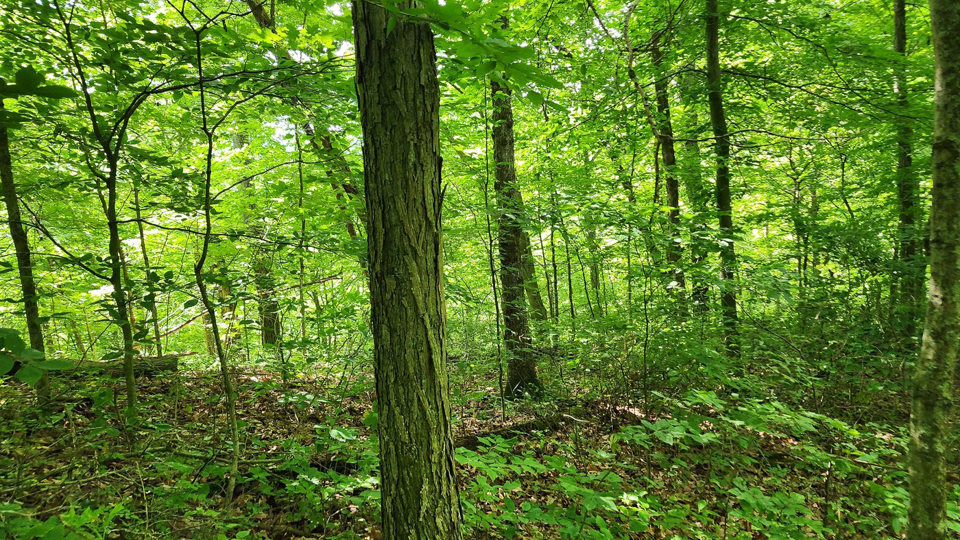
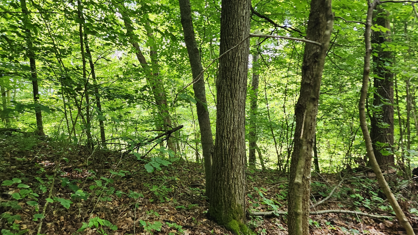
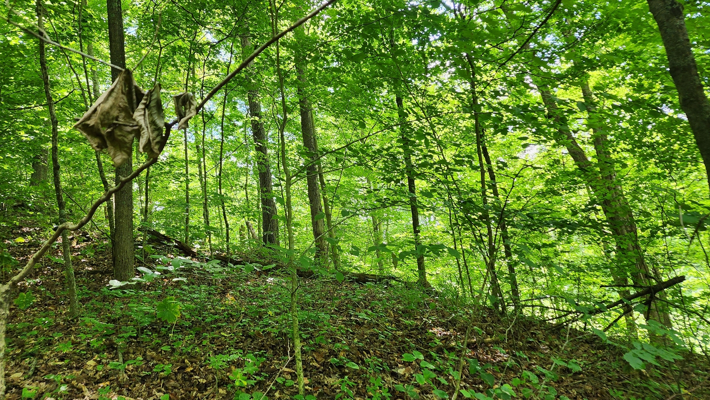
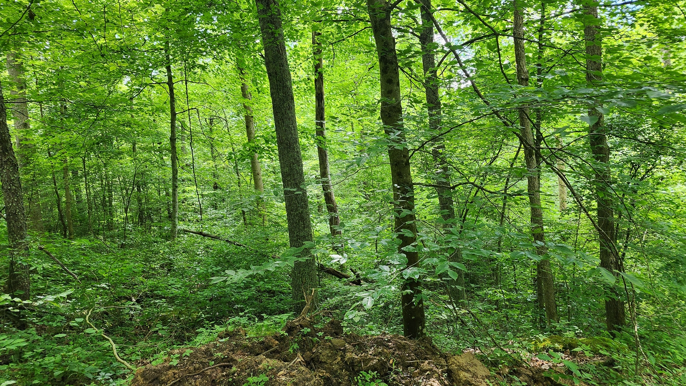
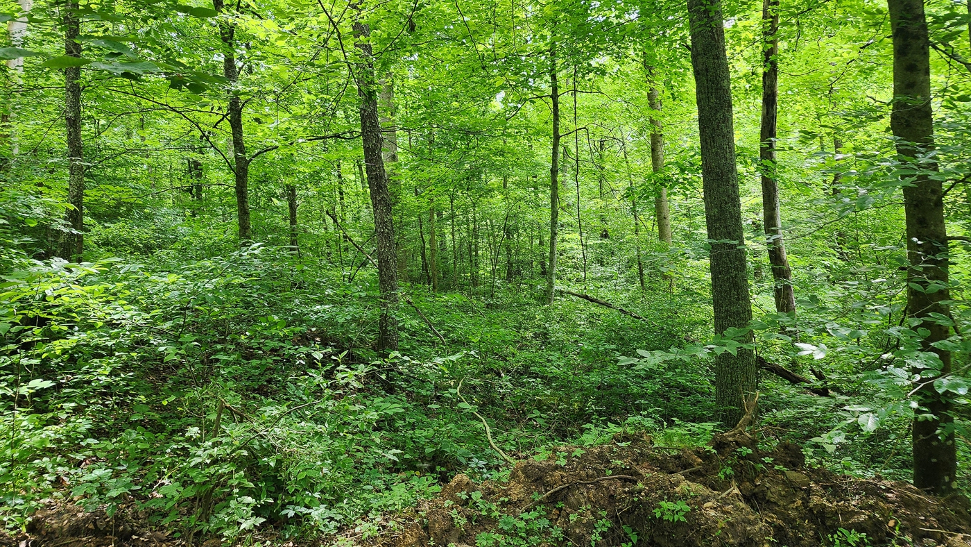
Property Description Tract 2 - Pounds RoadWooded Home/Cabin Site or Recreational Retreat
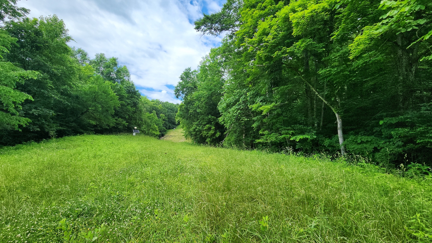
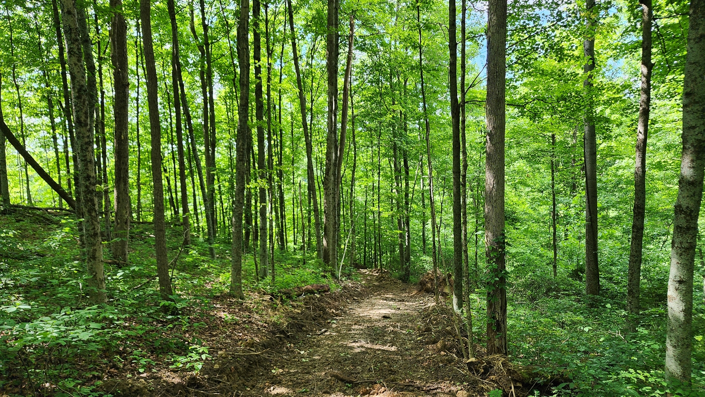
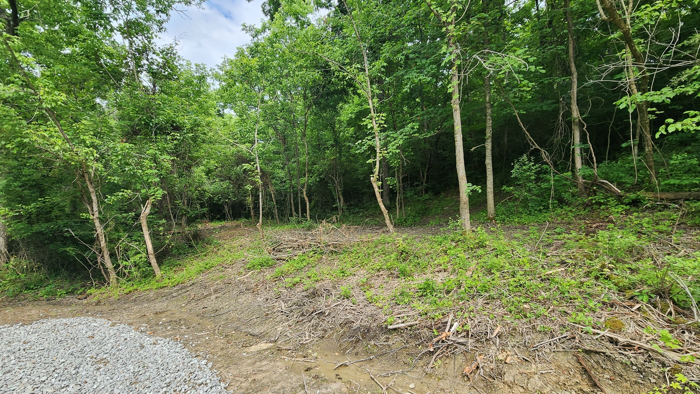
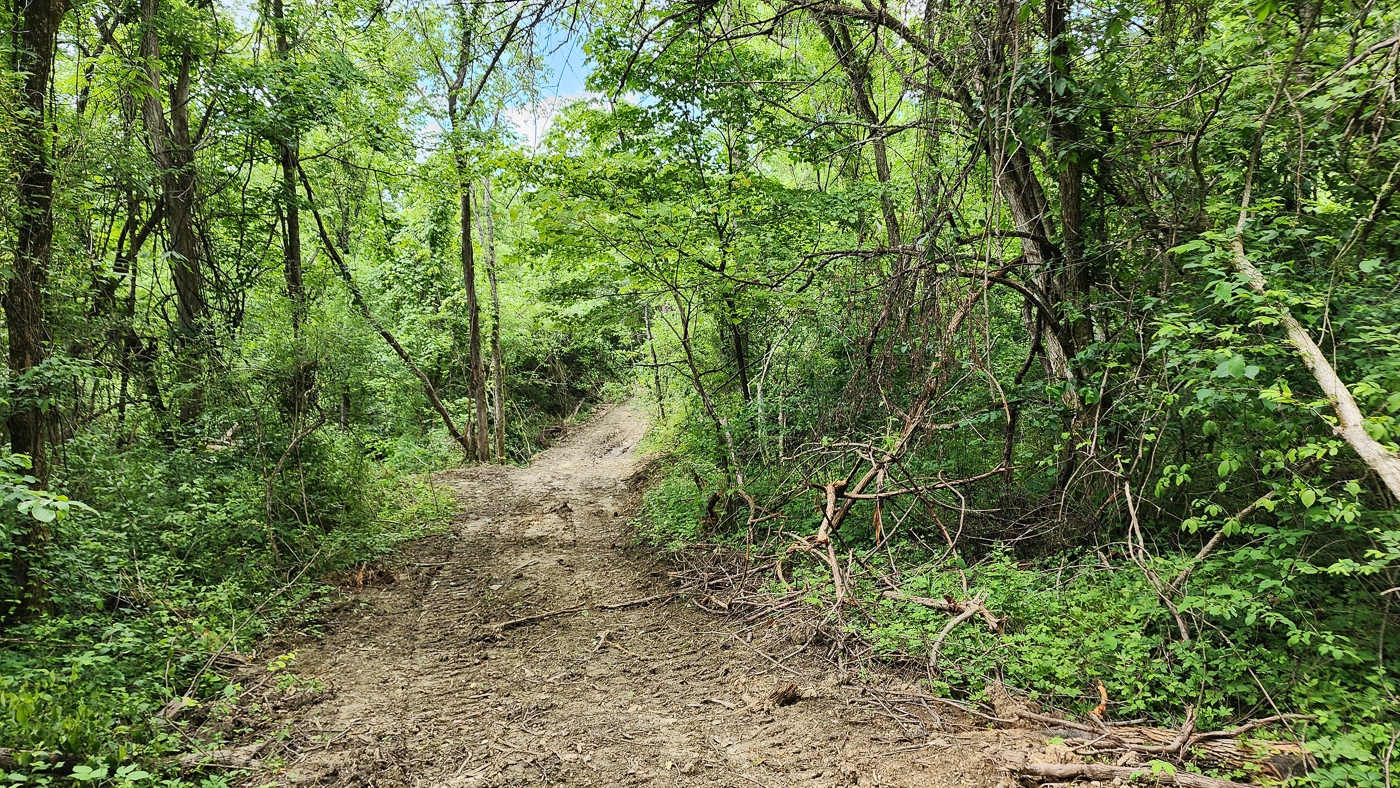
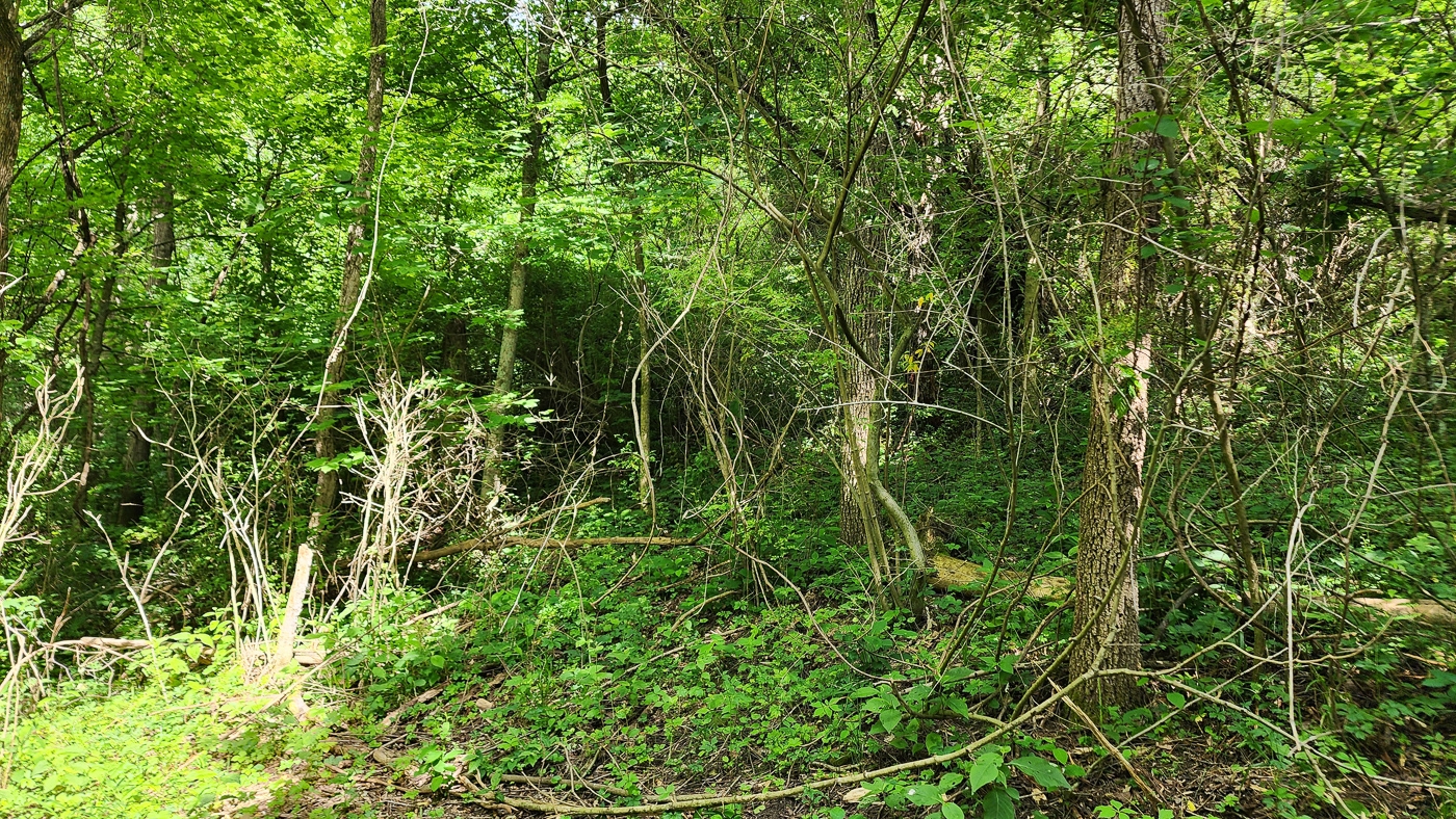
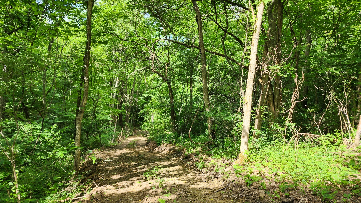
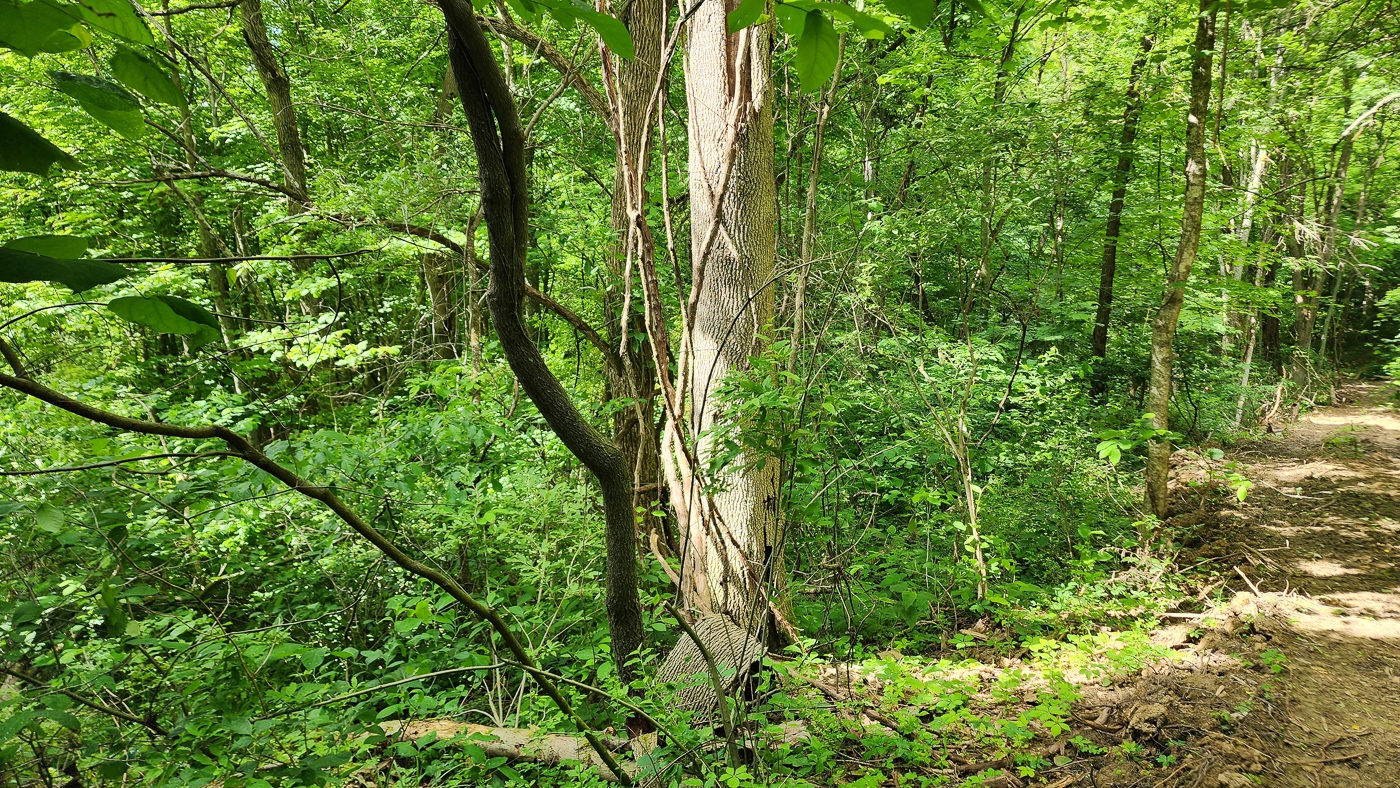
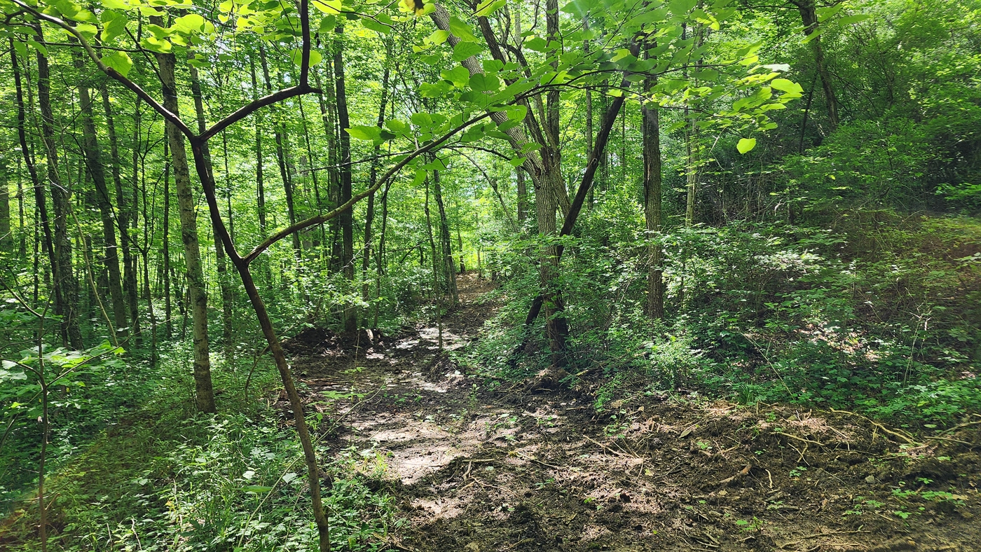
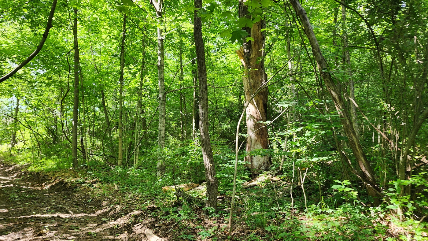
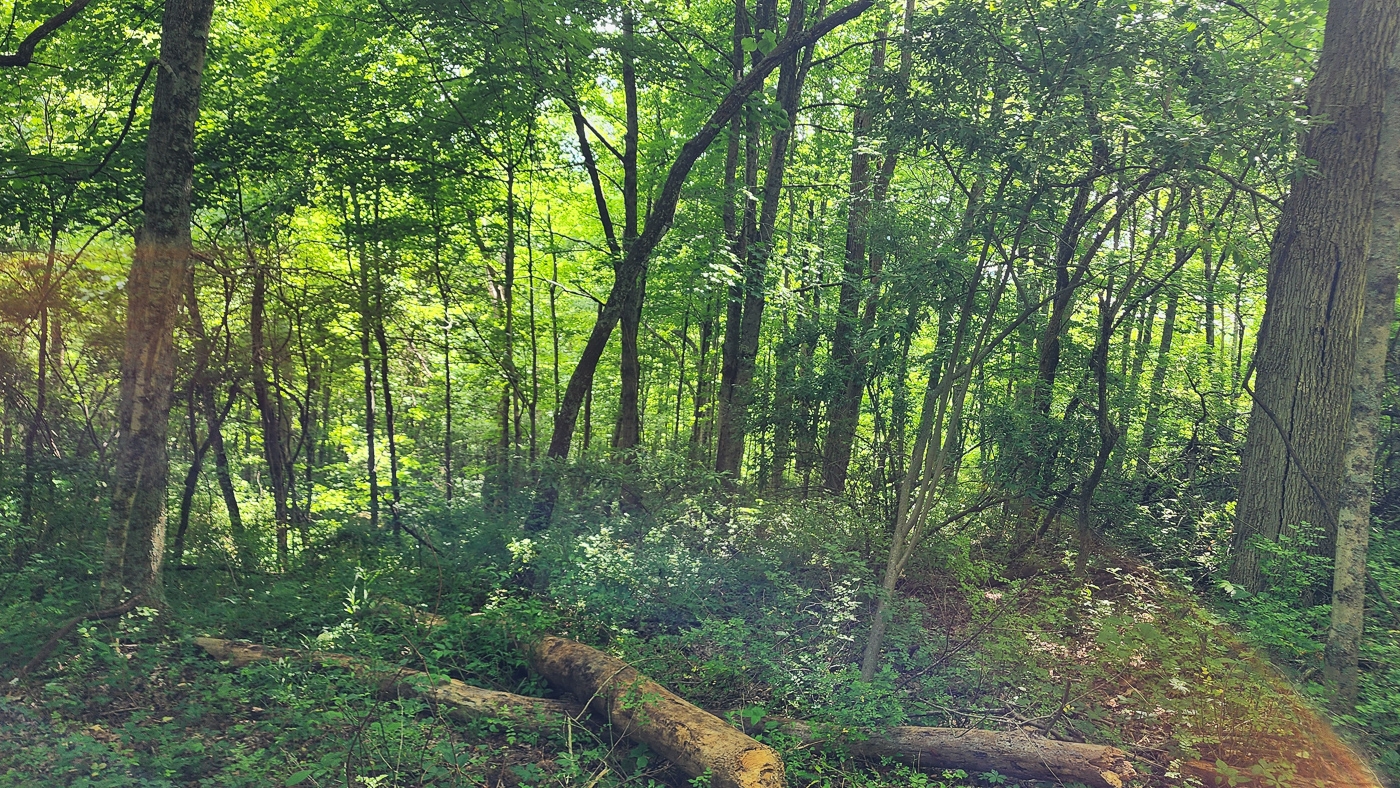
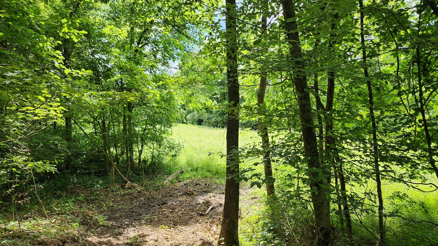
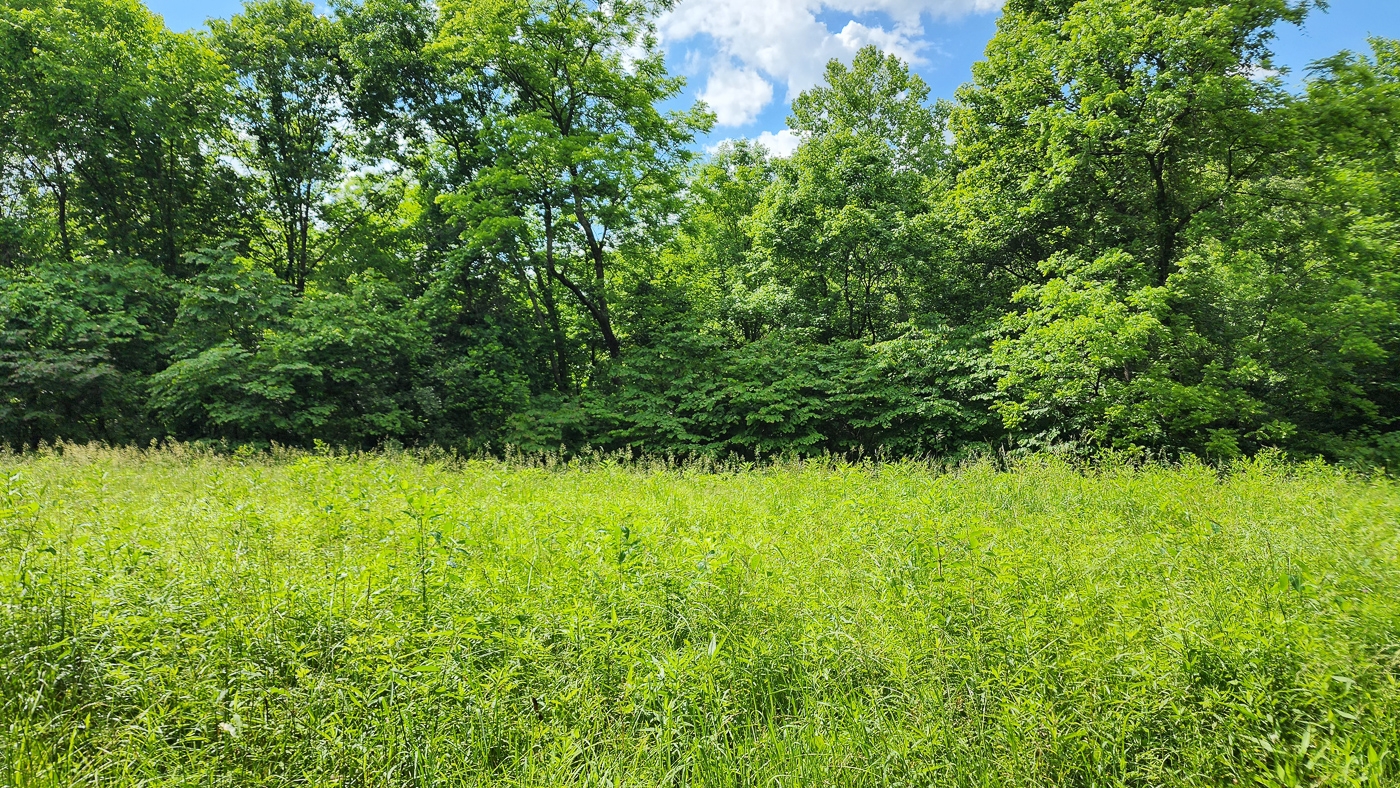
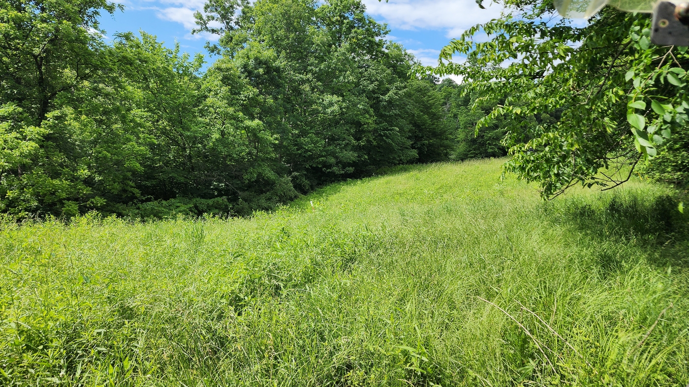
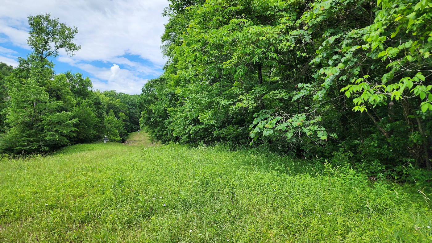
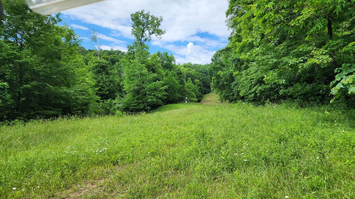
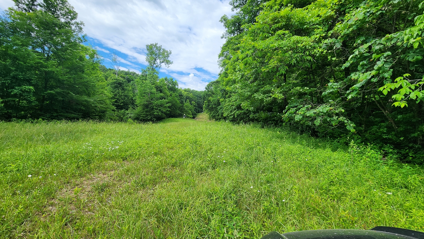
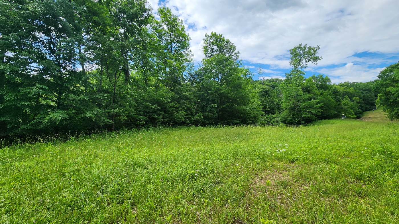
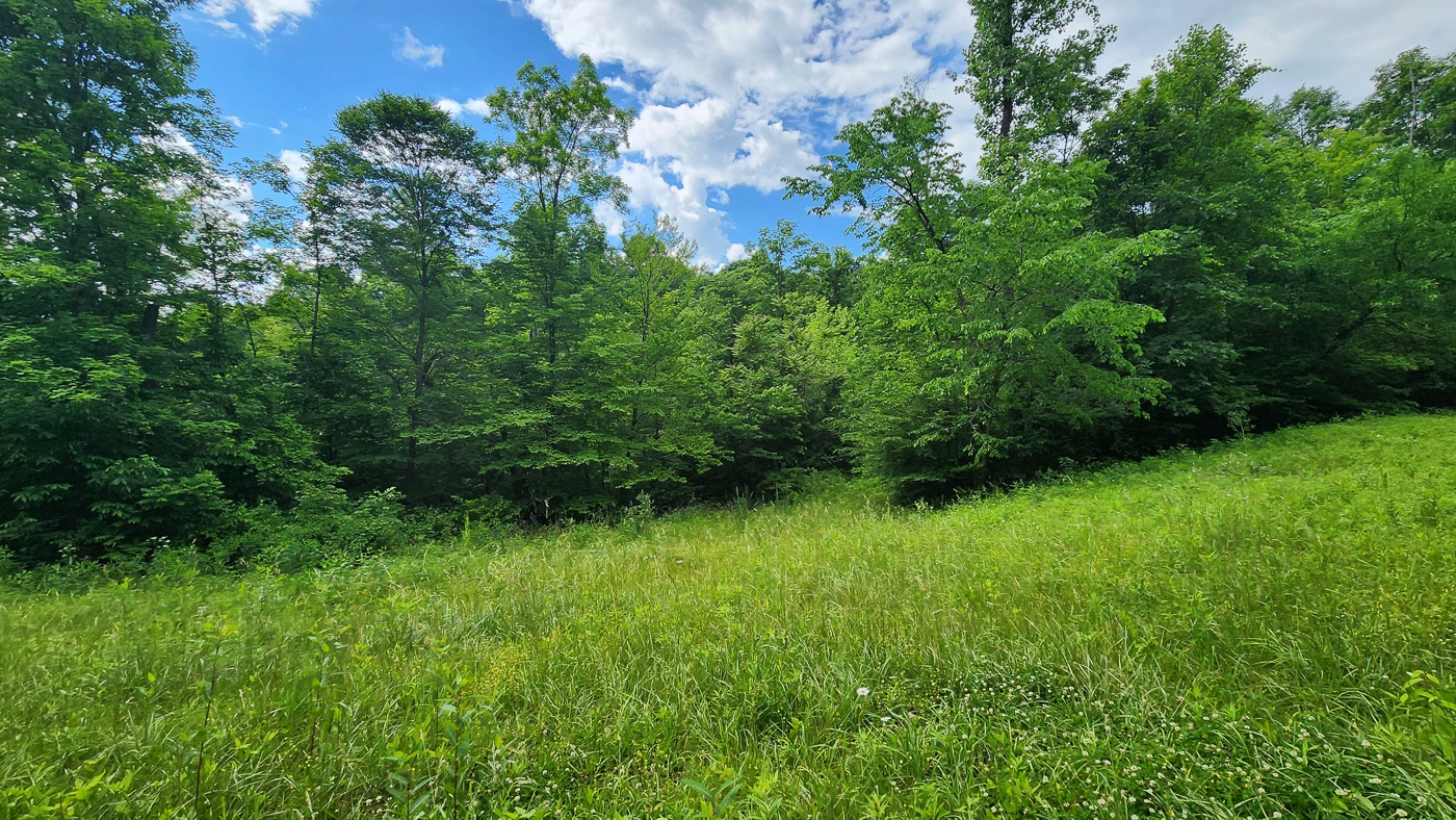
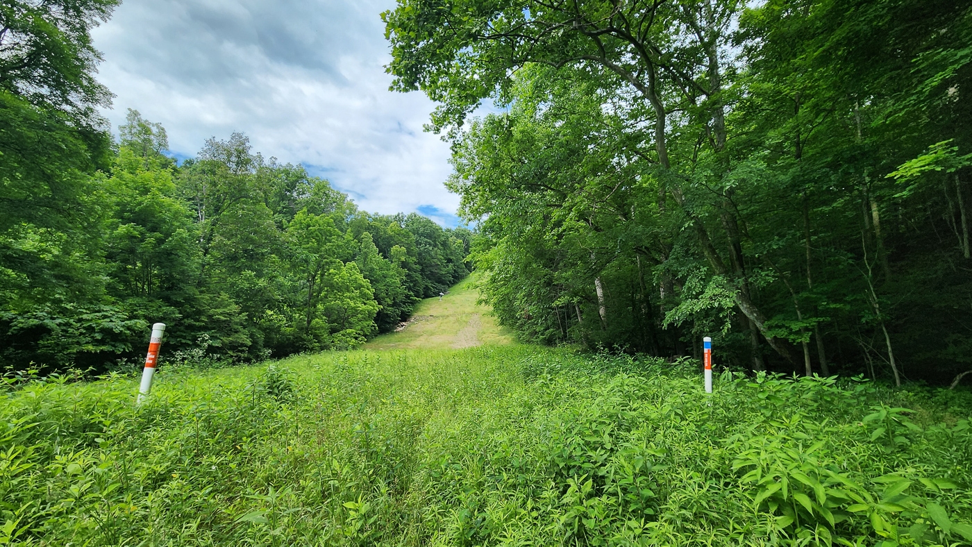
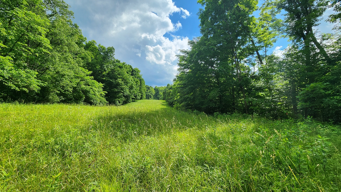
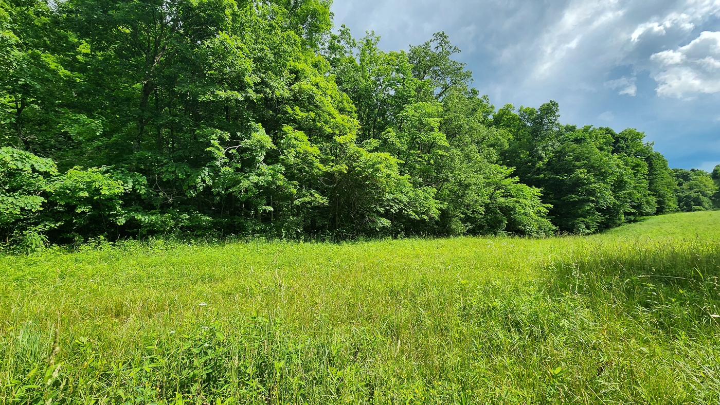
Primarily Wooded with Open Meadow Cutting Through the Property
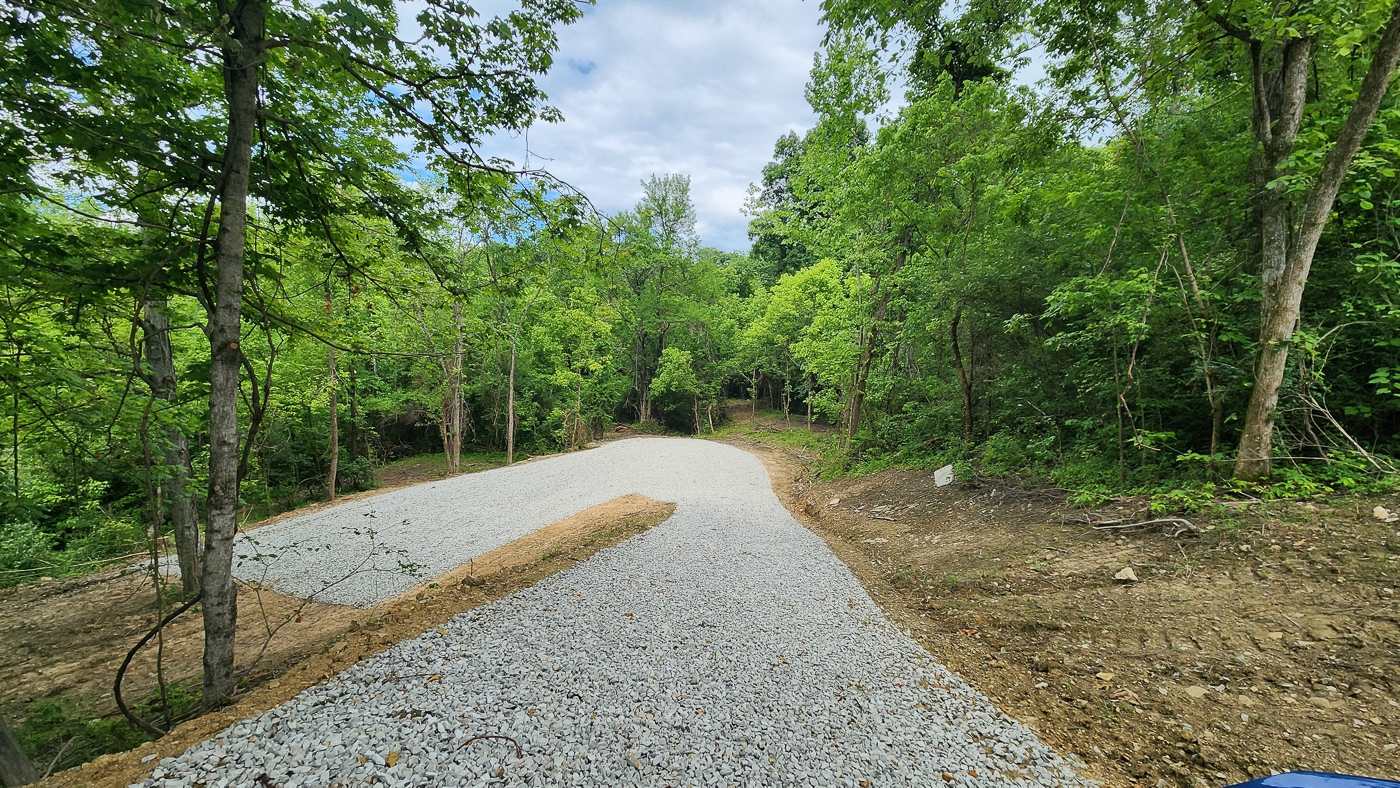
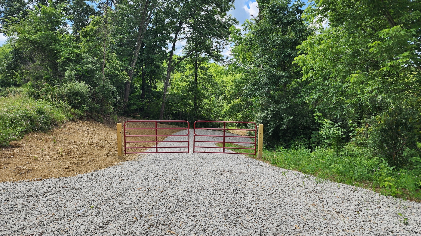
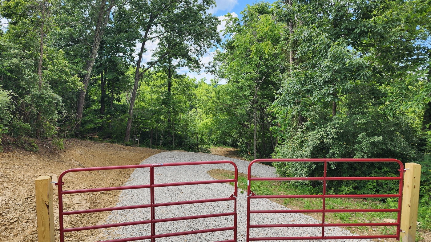
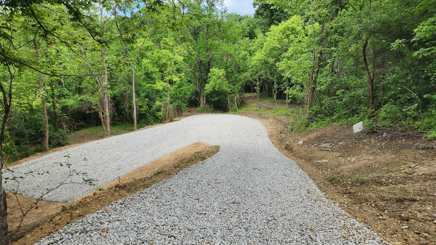
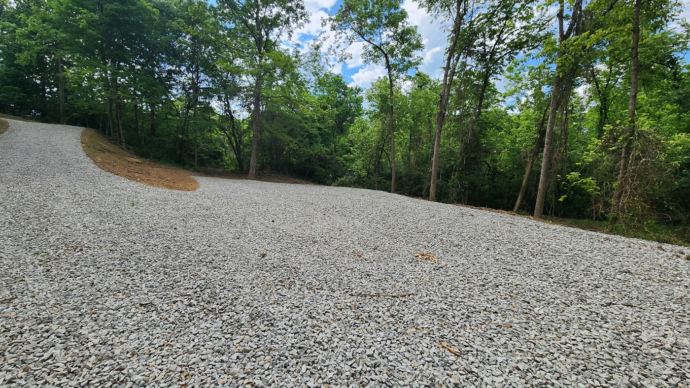
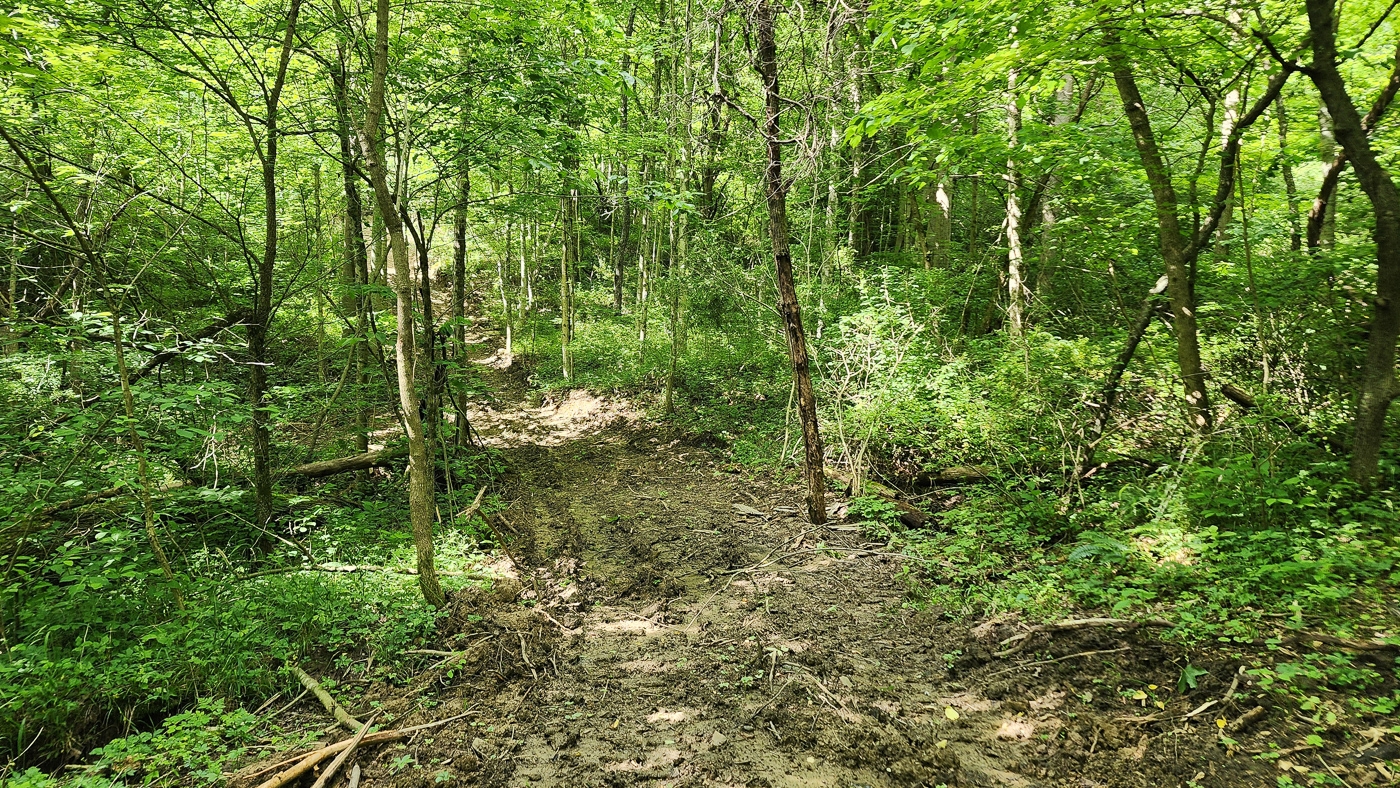
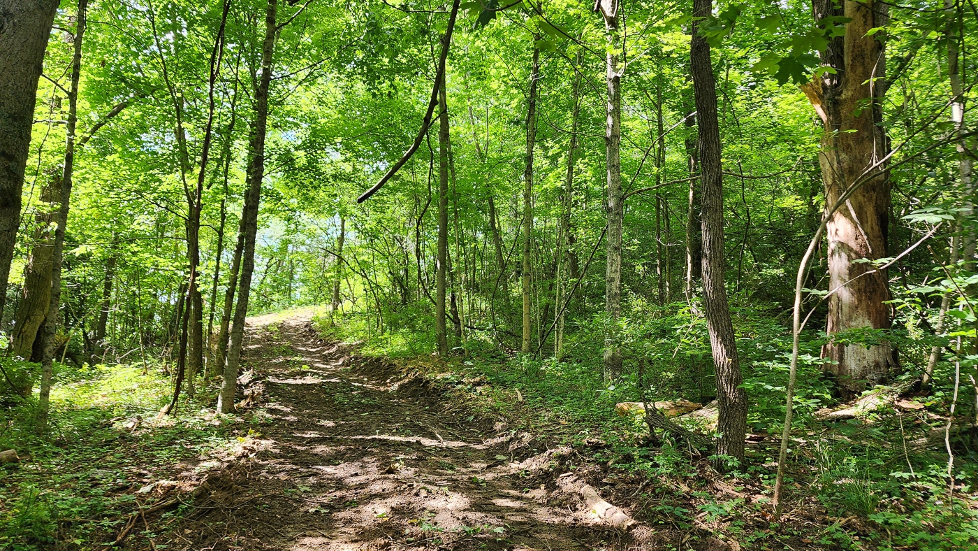
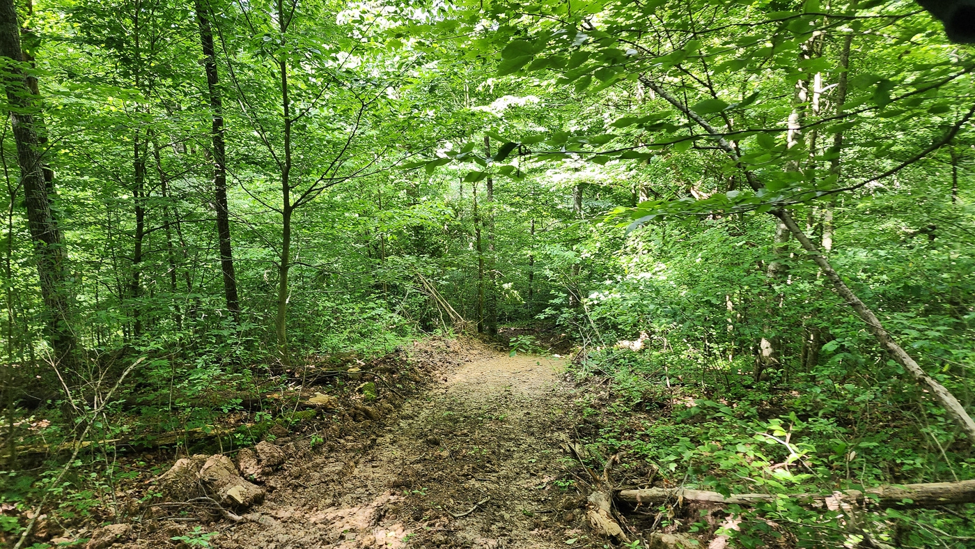
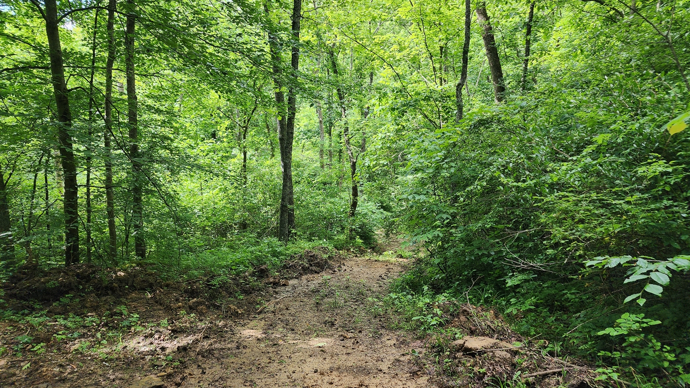
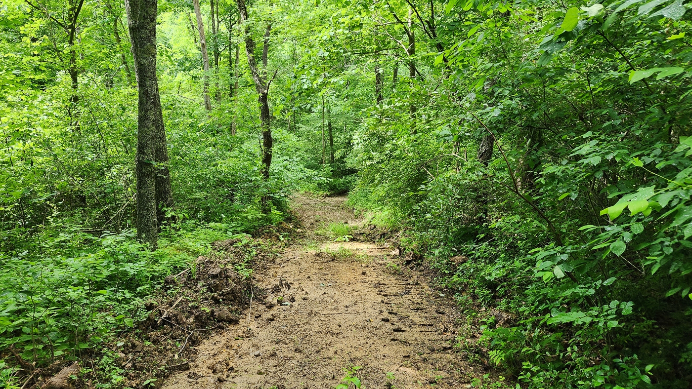
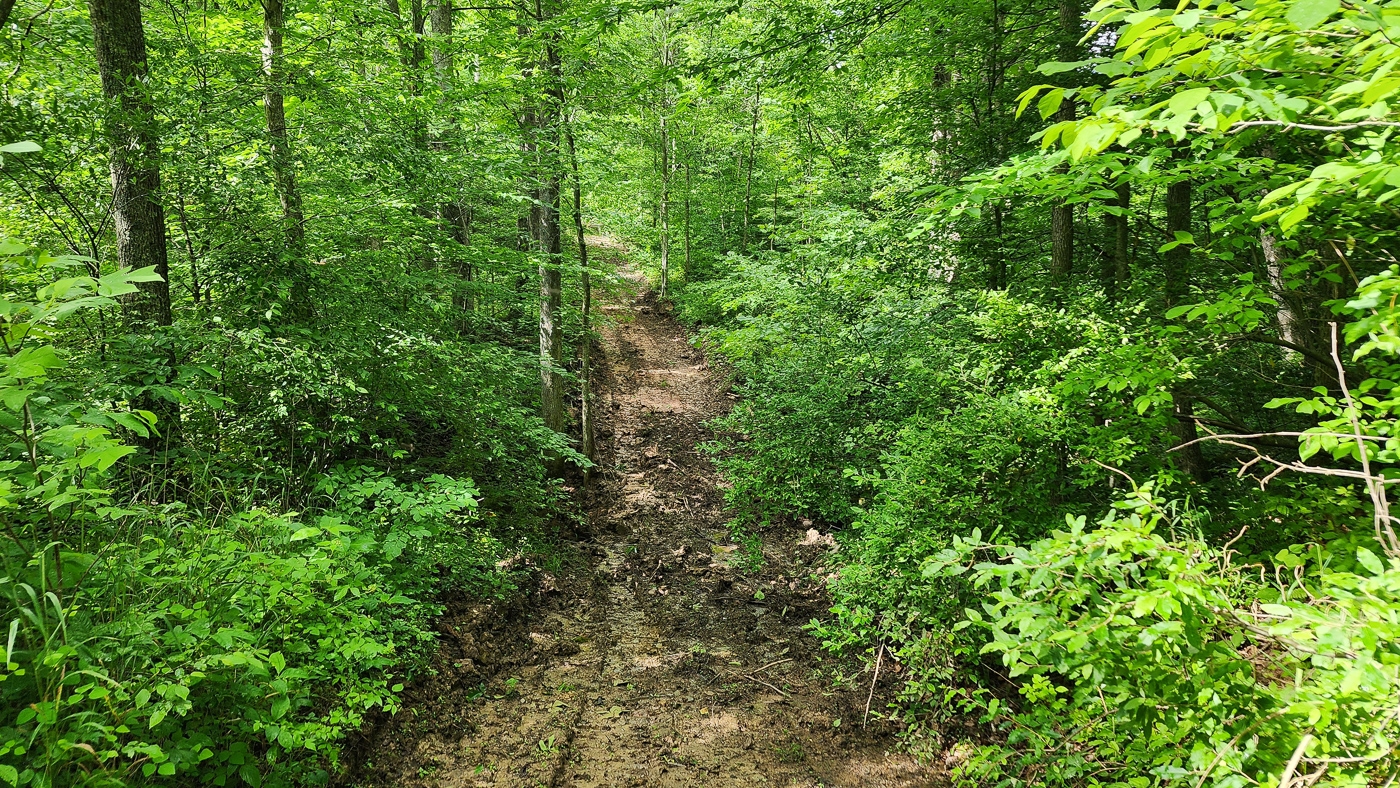
New Gated Gravel Driveway Installed
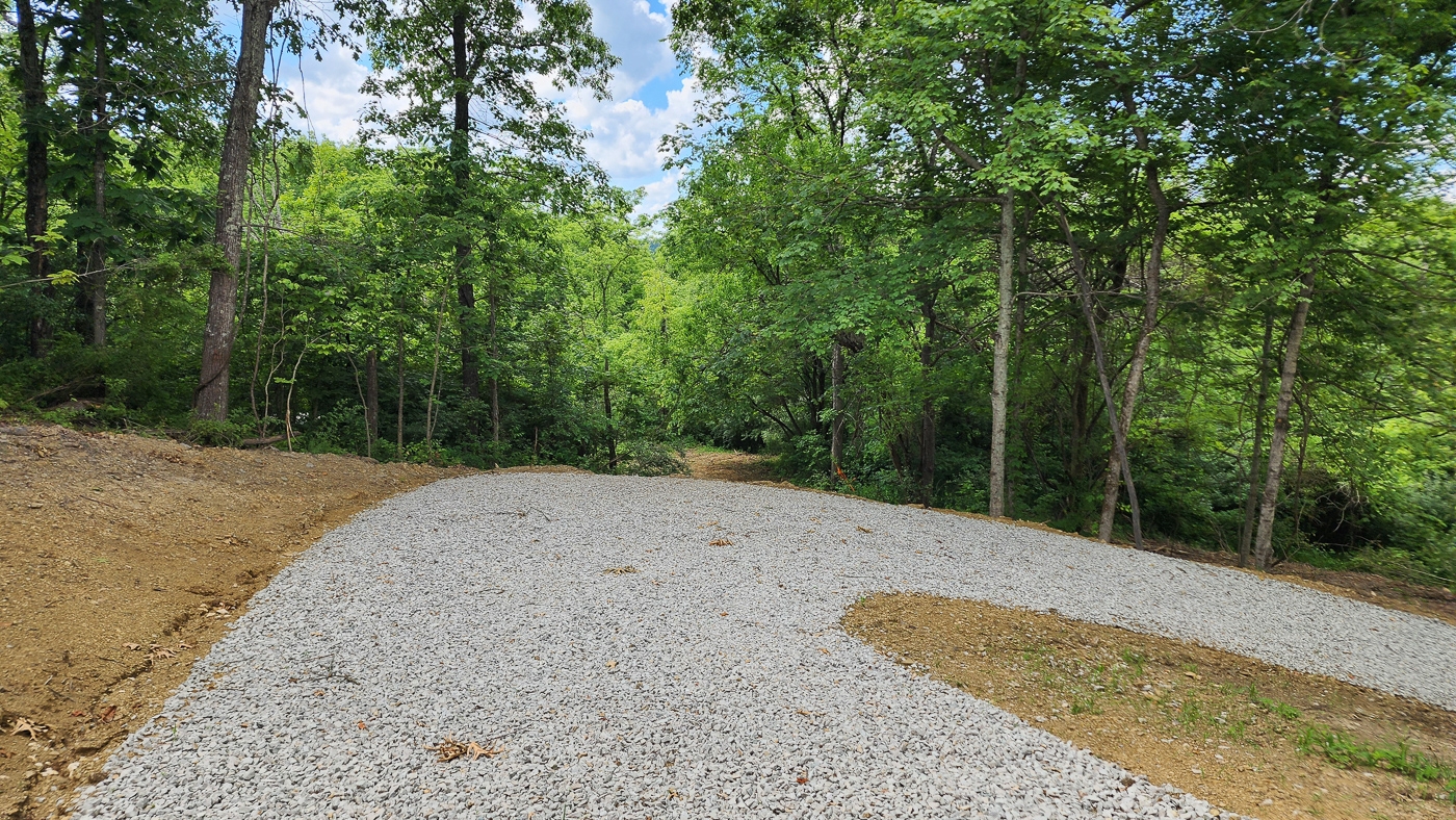
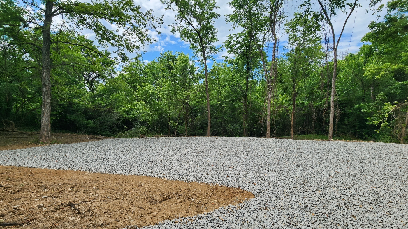
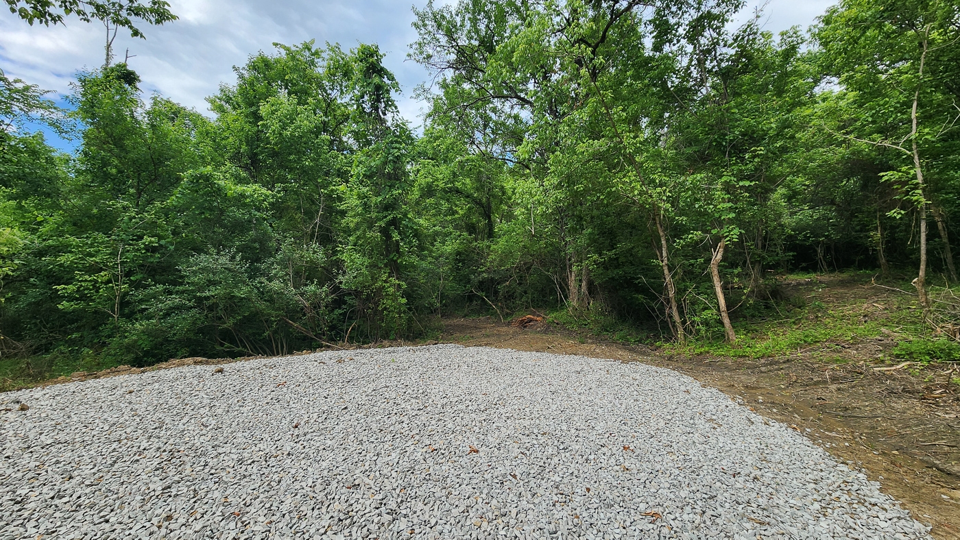
Gravel Cabin/Camper Pad Installed
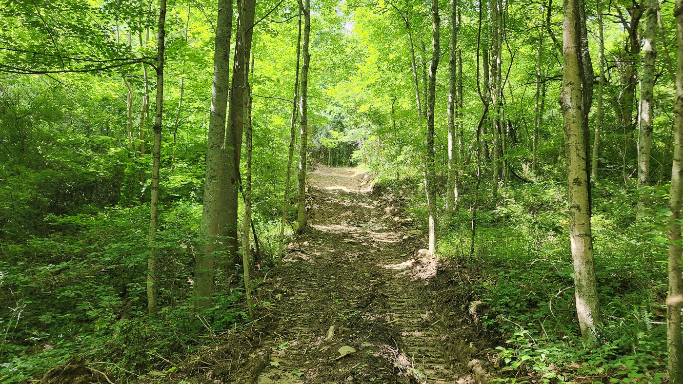
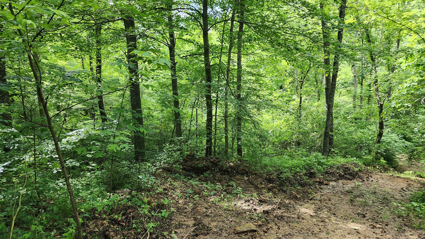
Extensive New Trail System
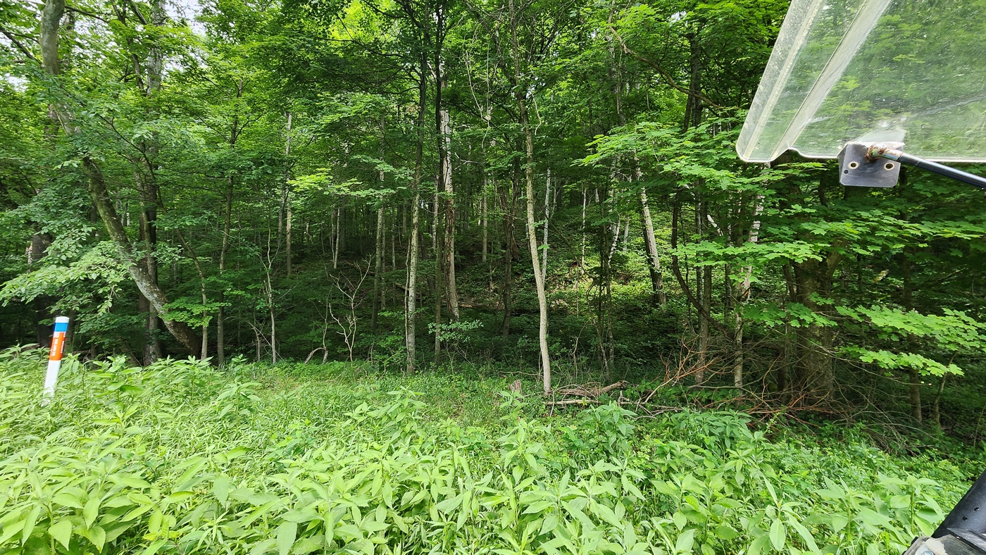
Varied Terrain
Tremendous Wildlife Habitat with a Nice Mixture of Mature Woods, Meadow and Young Growth
Loaded with Wildlife - Excellent Deer and Turkey Hunting
Stream Flowing Through the back of Property
Camping, Hiking, ATV, Horseback Riding
Very Easy Access to Thousands of Acres of Public Hunting and Recreational Land
Wayne National Forest, Burr Oak Lake, Wolf Creek Wildlife Area, Wallace O’Dowd Wildlife Area, and Taylor Ridge Wildlife Area
20.8011 Acres (New Survey)
Additional 25 Acres Available
American Electric Power at the Road
No Zoning and No Deed Restrictions
Homer Twp, Morgan County
Morgan Local School District
Part of Parcel # 050-009-550-0 2 Miles to Wolf Creek Wildlife Area
5 Miles to Burr Oak Lake & State Park
6 Miles to Wayne National Forest
24 Miles to Athens
32 Miles to Logan
34 Miles to Zanesville
76 Miles to Columbus
110 Miles to Canton
140 Miles to Dayton
163 Miles to Cincinnati A Countrytyme advantage
Take the property lines into the field. On your phone, tap Walk property lines , allow your location when asked, and follow the blue dot in Tract Explorer to see your position in relation to the mapped boundary while you explore.
Walk property lines Property photos Show 41 more photos