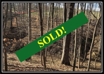
This property has sold.
The interactive map and property-line walking tools remain available. Driving directions are not provided for sold properties.
Property Description
Apple Ridge
5.2 Acres, Orpheus Road
Bloomfield Twp, Jackson Co, OH
Country Home Site or Recreational Retreat
Loaded with Wildlife
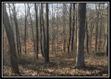
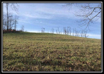
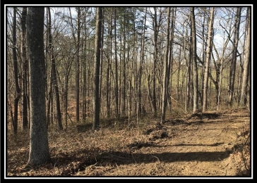
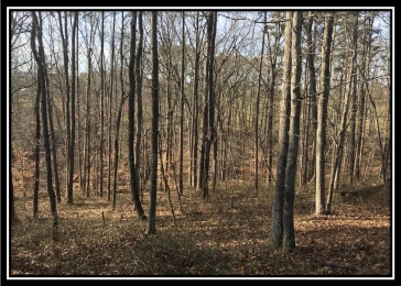
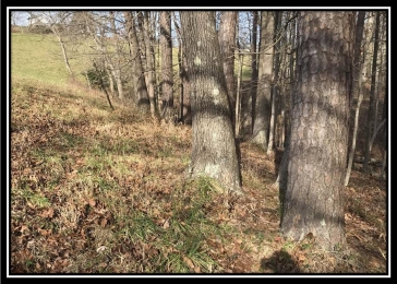
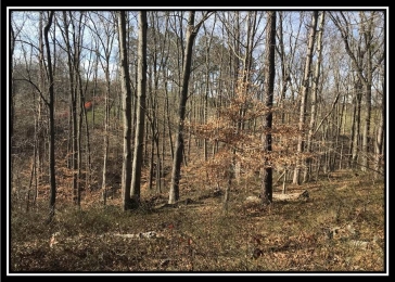
Mixture of Pasture and Beautiful Open Canopy Woods
Stream in the woods
Adjacent to Large Apple Orchard
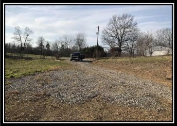
Gravel Driveway Installed
Excellent Deer and Turkey hunting, or use as base camp to hunt Cooper Hollow Wildlife Area
Soil Evaluation Complete for onsite septic system
Ridge Top Building Site with Tremendous Views or build a cabin nestled down in the woods
Very Easy access to Cooper Hollow Wildlife Area, 5421 acres of Public Hunting and Fishing
Beautiful Country Setting only 1 mile off of US35
All Mineral Rights Transfer (ATO)
Tract 7 at Orpheus Ridge, a Deed Restricted Recreational and Residential Development
Additional Acreage Available
Buckeye Rural Electric
Gallia Rural Water
Bloomfield Twp, Jackson County
Oak Hill Local School District
Part of Parcel # A010040004100
Apple Ridge is located:
1 Mile to US35
2.5 Miles to Cooper Hollow Wildlife Area
9 Miles to Rio Grande
12 Miles to Jackson
39 Miles to Chillicothe
42 Miles to Athens
76 Miles to Columbus
110 Miles to Cincinnati
112 Miles to Dayton
Google Map Link
Estimated address for mapping (not officially assigned): 1612 Orpheus Rd, Thurman, OH 45685
GPS Coordinates : 38.9559975, -82.464077
Orpheus Ridge
Aerial
Orpheus Ridge Tracts 7 through 13 Survey
Orpheus Ridge
Covenants
Orpheus 7-9 KML
Orpheus Ridge Cooper
Hollow Location Map
More tracts in Orpheus Ridge