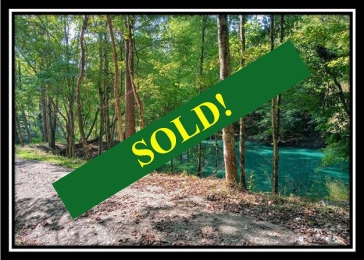
This property has sold.
The interactive map and property-line walking tools remain available. Driving directions are not provided for sold properties.
Interactive property map
Explore this property map.
Switch aerial, topographic, soil, water, contour, and terrain layers while the mapped project boundary stays visible.
Property Description
Tract 4 - Longhenry
Ponds
10.3 Wooded Acres with Pond and
Stream
Township Road 131, Junction
City, OH
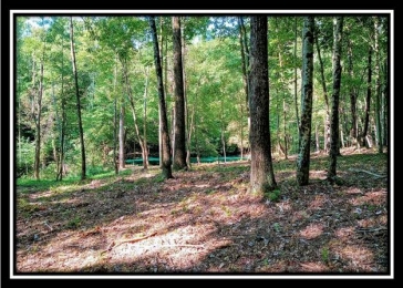
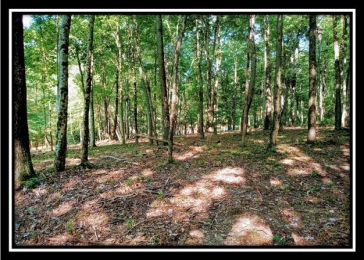
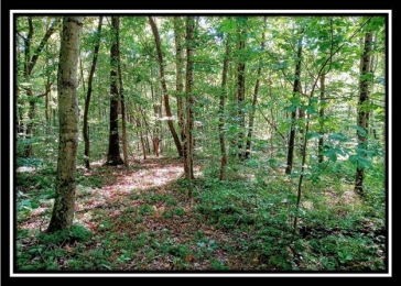
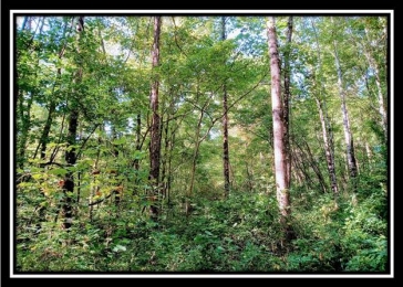
Fully Wooded Home Site or
Recreational Retreat
Stocked Pond (Bass and Bluegill)
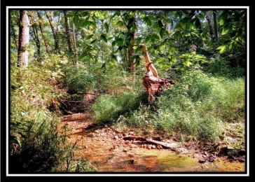
Year Around Stream on Property
10.30 Acres (New Survey - Tract 4
at Longhenry Ponds Subdivision)
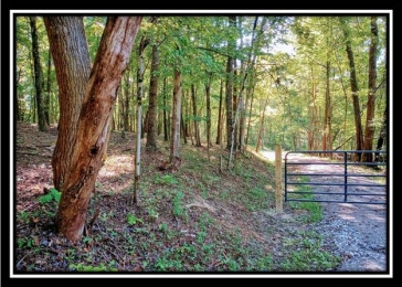
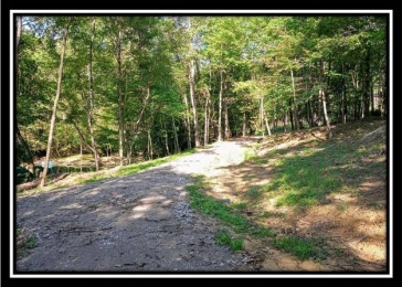
New Gated Gravel Driveway
Installed
Gentle Terrain
Loaded with wildlife
Excellent Deer and Turkey Hunting
Beautiful Remote Country Setting
Just a few minutes to town and
under an hour to the big city
Additional Tracts available from 5
to 24 Acres, many with ponds and
streams
All Mineral Rights Transfer
Deed Restricted, No Singlewides -
Campers permitted but not as primary
residence
South Central Power at the road
Southern Perry Water at the road
Jackson Twp, Perry County
New Lexington City School District
Part of Parcel # 14000636000
$69,900
3.5 Miles to Junction City
4 Miles to New Lexington
10.5 Miles to Bremen
16 Miles to Lancaster
23 Miles to Zanesville
43 Miles to Columbus
Google Map Link
Township Road 131, Junction City, OH
43748
(off of Mainesville Rd, TR131 does not
go all of the way through to Marietta
Rd as some maps may show)
GPS Coordinates : 39.690761,
-82.262788
More tracts in Longhenry Ponds