This property has sold.
The interactive map and property-line walking tools remain available. Driving directions are not provided for sold properties.
Property Description
- Beautiful Recreational Retreat
- Primarily very gentle terrain
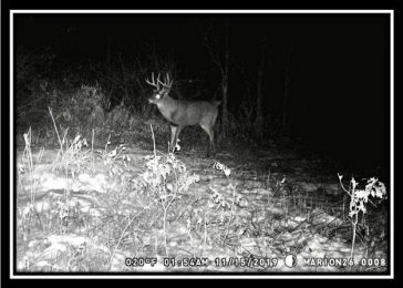
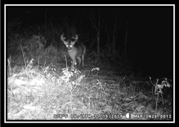
- Loaded with wildlife
- Excellent Deer and Turkey Hunting
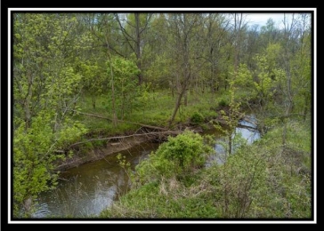
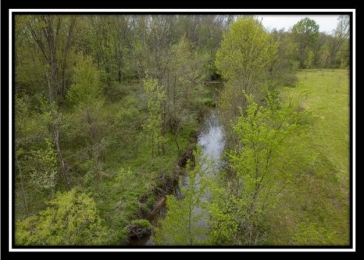
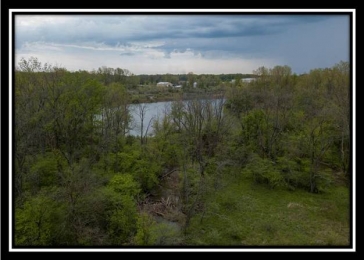
- Approximately 2500' of Flat Run Creek flows through the property
- Flood plain associated with creek would limit home site development
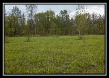
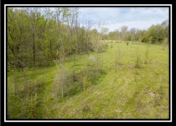
- Nice Mixture of Open Fields and Woods, Approximately 11 acres tillable
- Tully Township, Marion County
- River Valley Local School District
- Zoned AG-Res Agricultural Residential District
- Parcel #360130000400
- Taxes are currently $1,116 per
year
Conveniently Located: - 1 Mile to Iberia
- 6 Miles to Caledonia
- 10 Miles to Bucyrus
- 12 Miles to US 23 at Marion
- 19 Miles to Mansfield
- 29 Miles to Delaware
- 43 Miles to Columbus
Location Information: Estimated Address (not officially assigned): 9995 Harding Highway East, Caledonia, Ohio 43314
GPS Coordinates: 40.665115, -82.860221
Whitetail Run Aerial
FEMA Flood Map
Whitetail Run KML
Property photos