This property has sold.
The interactive map and property-line walking tools remain available. Driving directions are not provided for sold properties.
Interactive property map
Explore this property map.
Switch aerial, topographic, soil, water, contour, and terrain layers while the mapped project boundary stays visible.
Property Documents
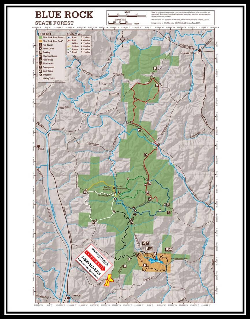
- Blue Rock State Forest Map.pdf
- Shaver Road Survey.pdf
- The Views at Blue Rock Aerial.pdf
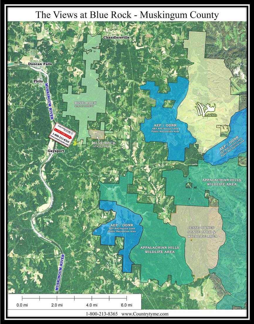
- The Views at Blue Rock Area Parks Map.pdf
- The Views at Blue Rock KML.KML
- The Wilds:
- AEP ReCreation Land:
- Appalachian Hills Wildlife Area:
- Fishing the AEP Ponds - YouTube Video:
- Blue Rock State Park:
- Blue Rock State Forest:
- Jesse Owens State Park:
Property Description
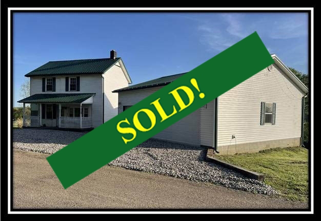
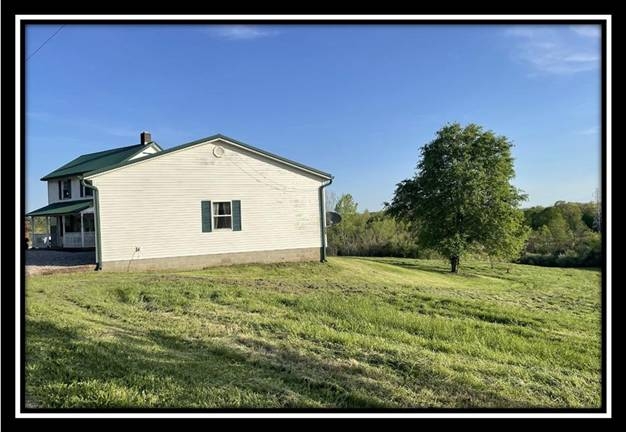
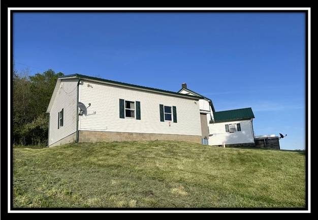
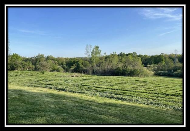
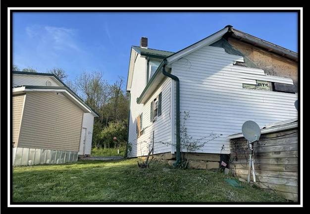
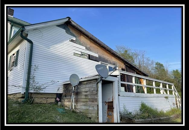
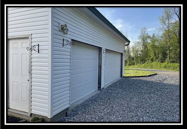
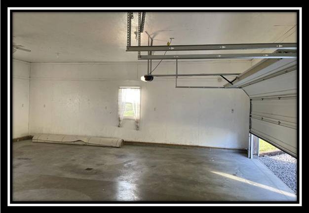
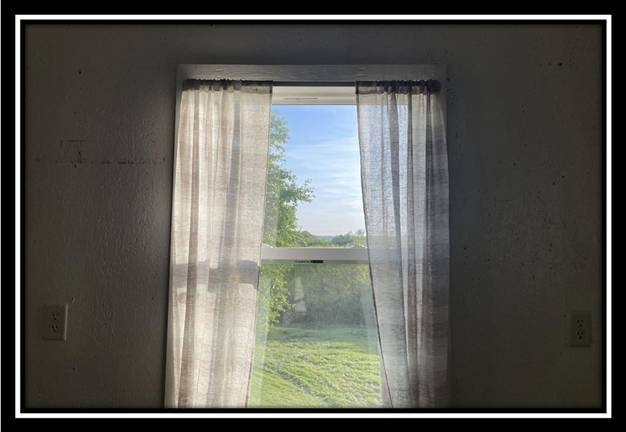
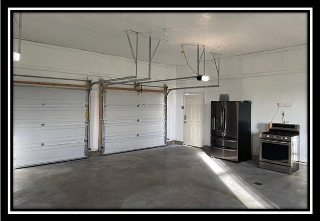
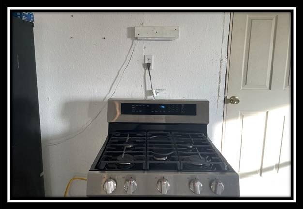
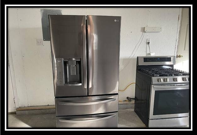
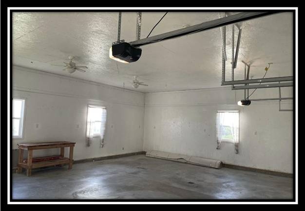
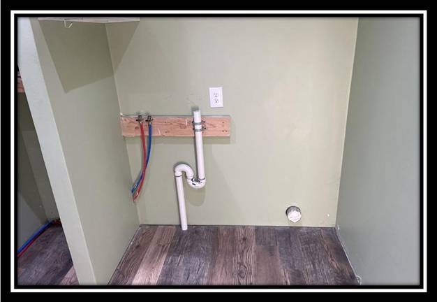
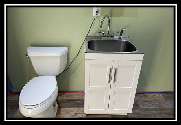
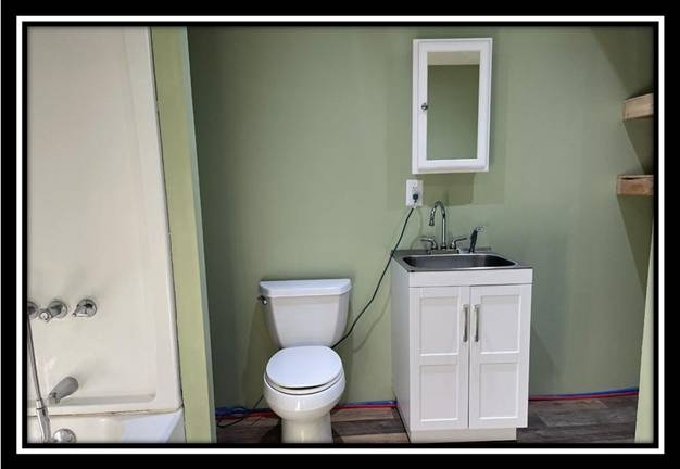
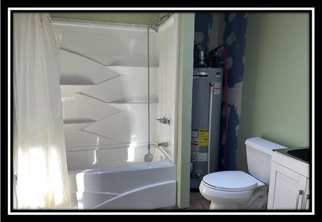
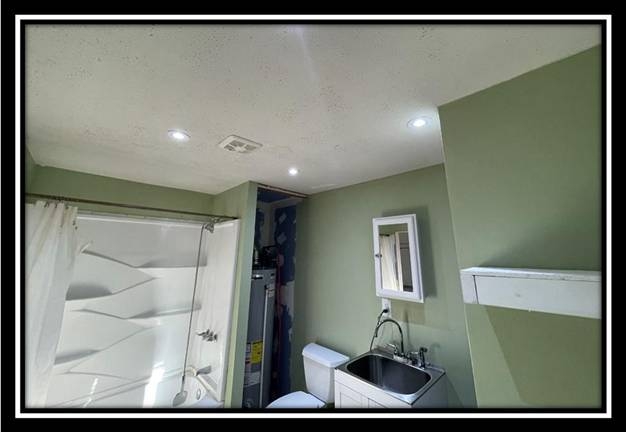
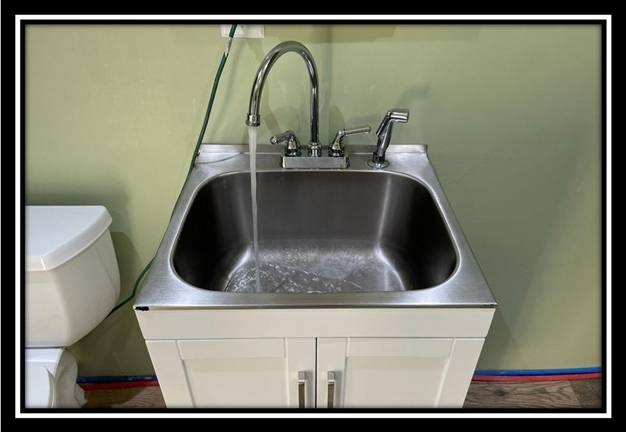
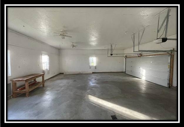
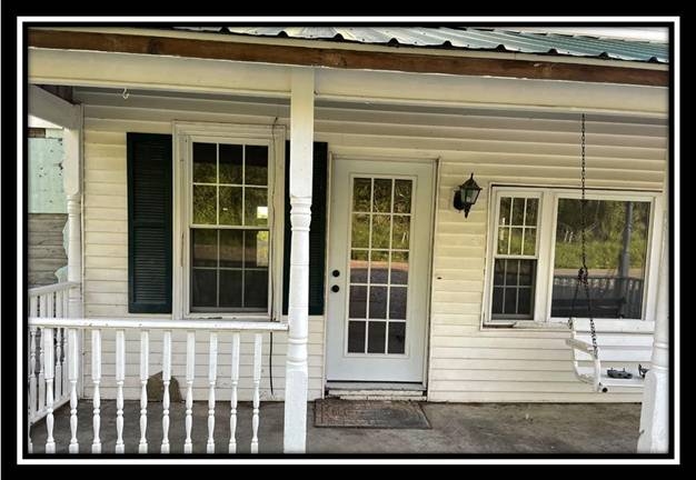
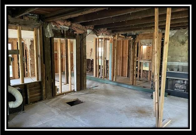
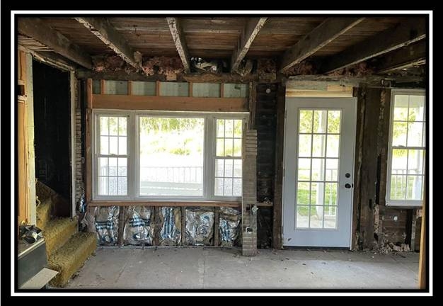
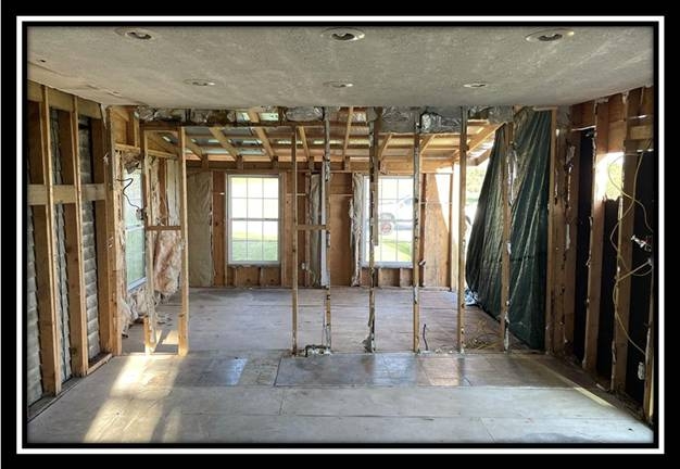
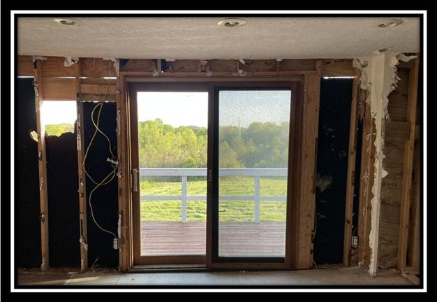
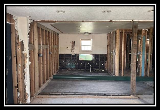
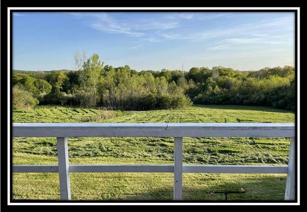
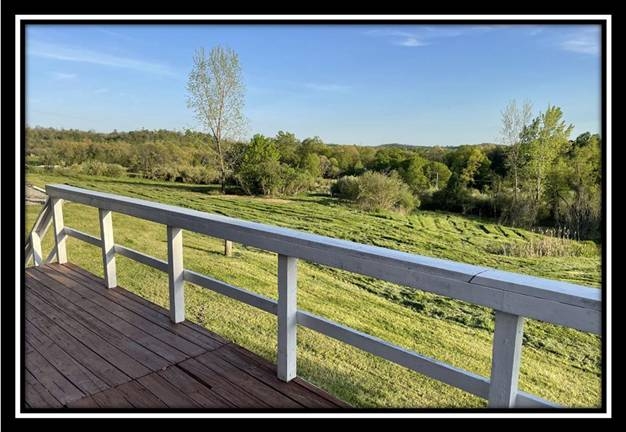
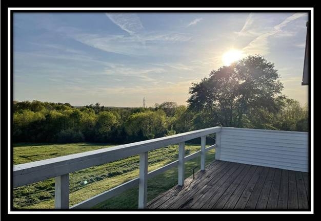
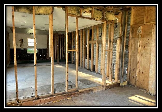
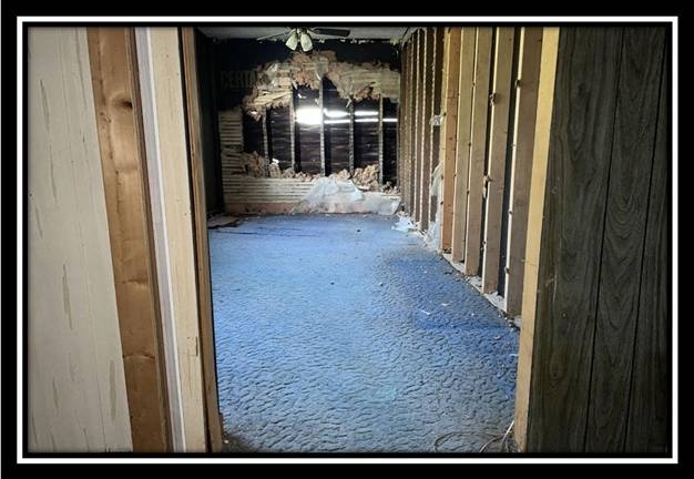
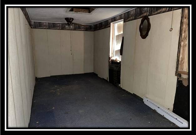
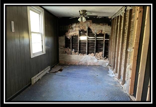
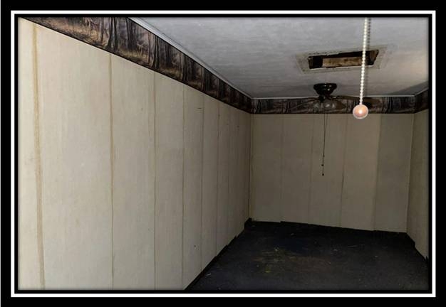
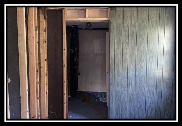
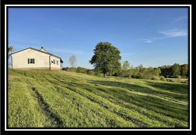
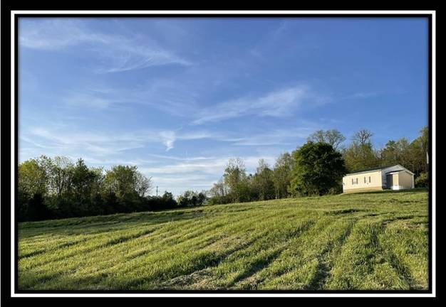
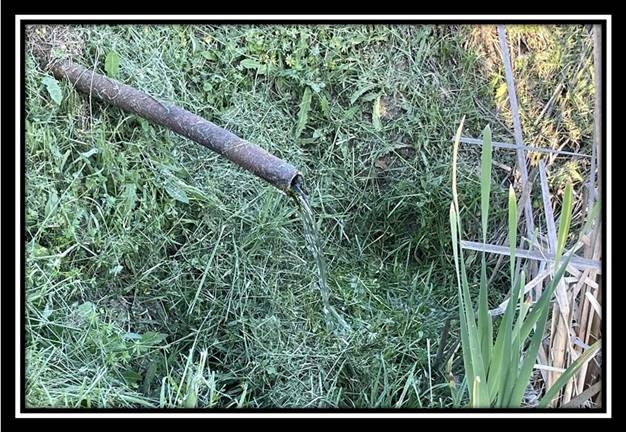
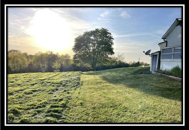
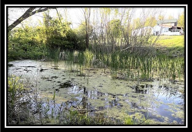
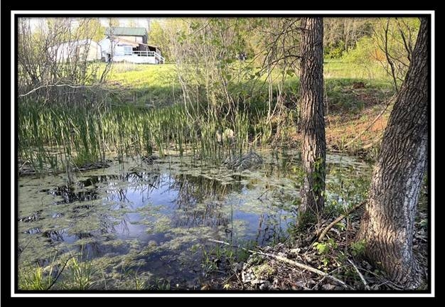
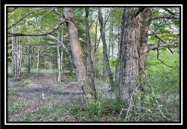
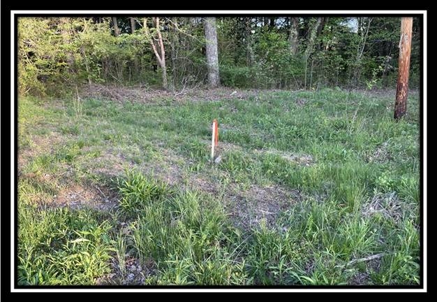
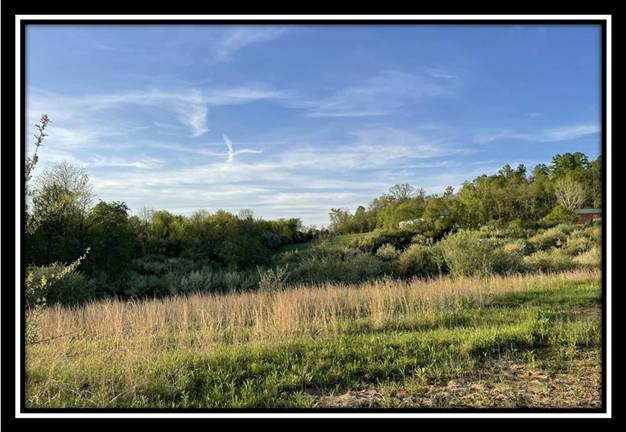
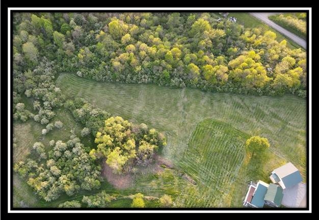
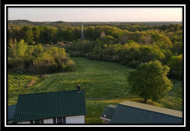
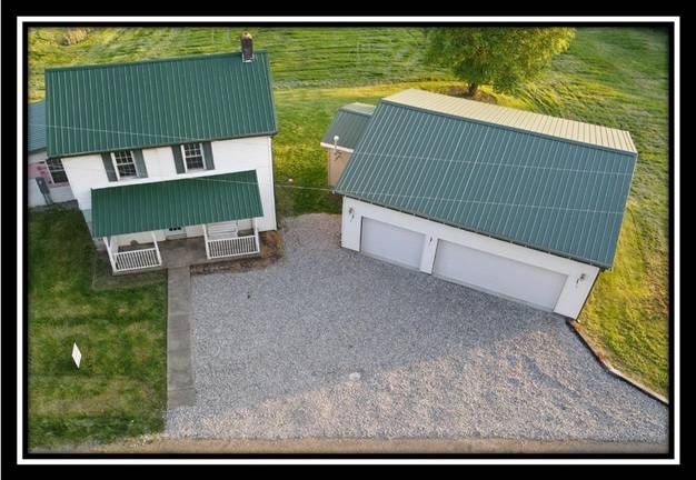
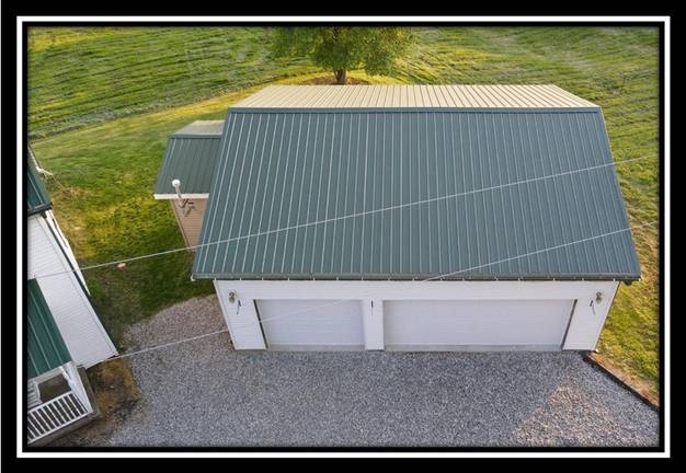
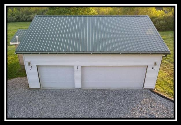
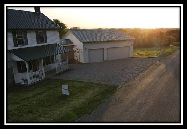
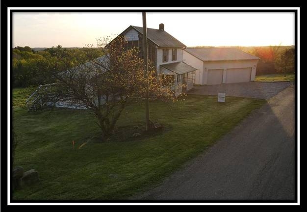
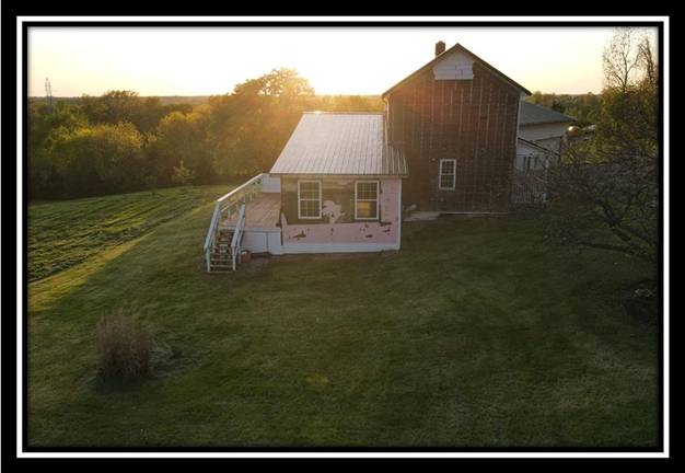
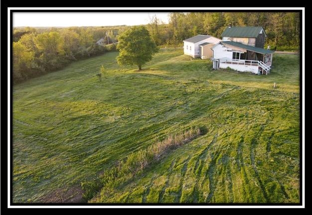
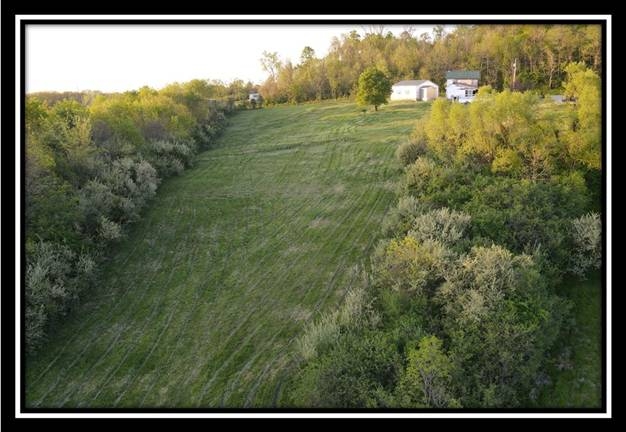
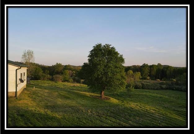
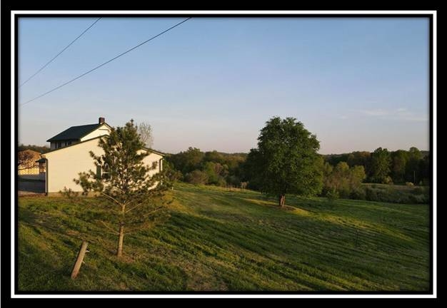
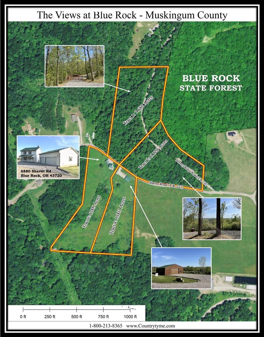
6880 Shaver Road, Blue Rock, OH 43720Historic Farm House and Newer Livable Garage
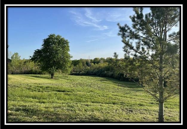
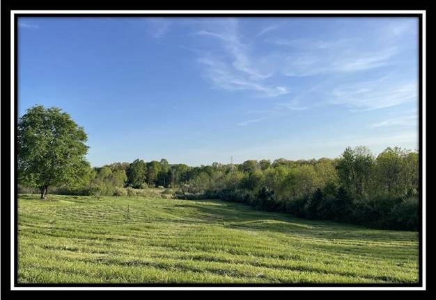
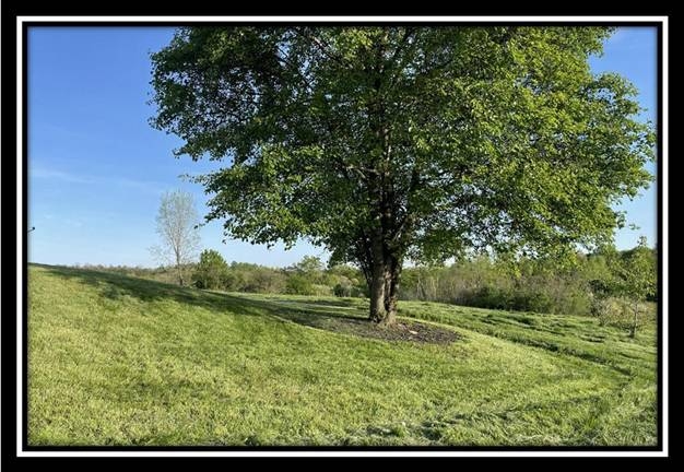
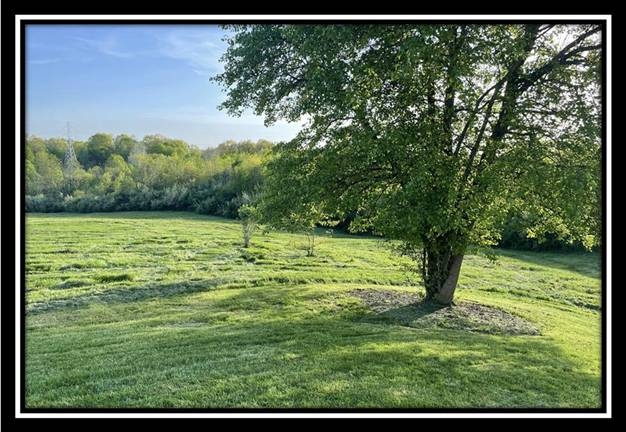
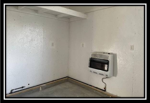
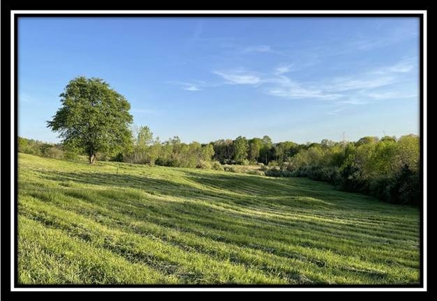
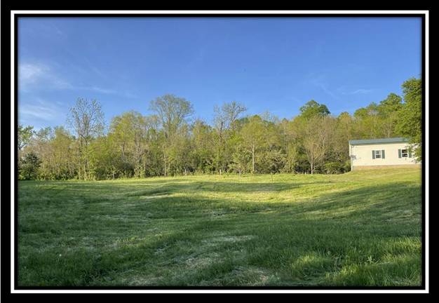
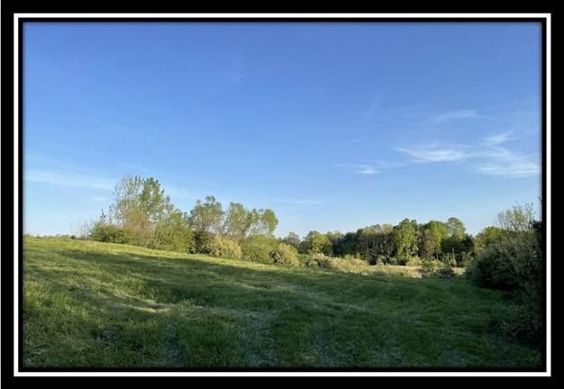
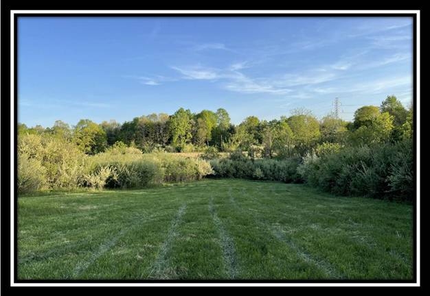
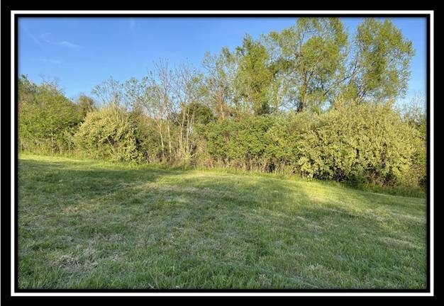
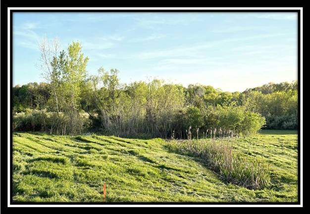
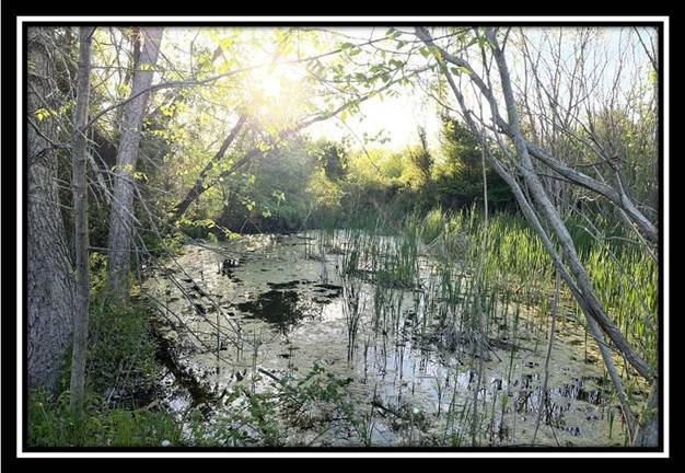
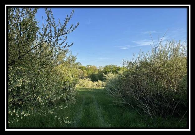
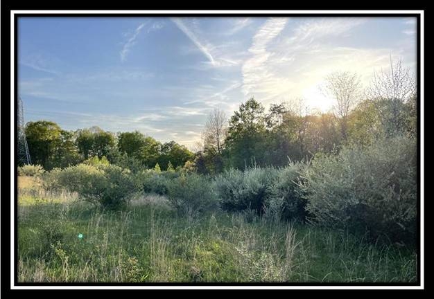
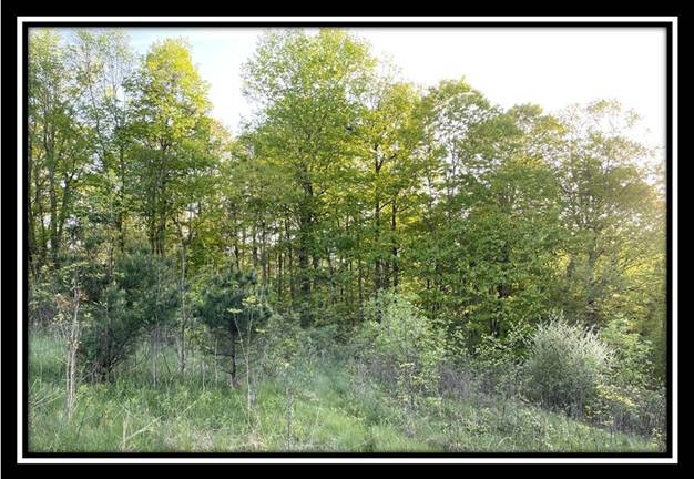
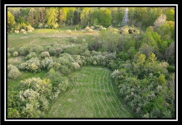
on 6 Partially Wooded Acres with Free Gas
The Views at Blue Rock, Muskingum County
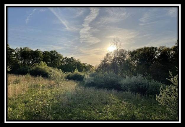
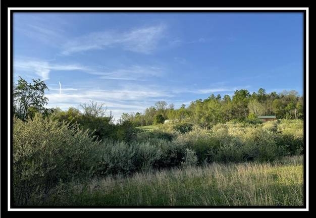
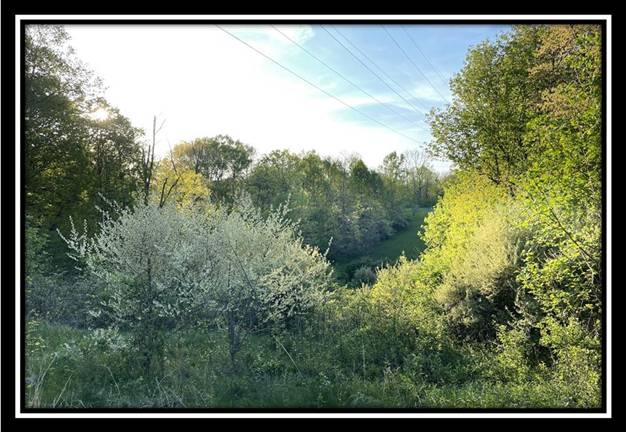
Introducing a wonderful new project in Muskingum County Ohio that is a true recreational mecca. Whether you are into hunting, hiking, fishing, boating, mountain biking, horseback riding, recreational shooting or just enjoy being in nature removed from the big city, this property provides easy access to it all. Adjacent to Blue Rock State Forest, 4,578 acres of public hunting and recreation with Shooting Range and 26 miles of beautiful bridle trails. 1.5 miles to Cutler lake, Blue Rock State Park and the Muskingum River. About 4.3 miles to the new 38,414 acre Appalachian Hills Wildlife Area, featuring hundreds of lakes and ponds that can be some of the best fishing in Ohio, Mountain biking trails close by, and much much more very close at your fingertips. 8 miles to The Wilds which is North America's Largest Conservation Research Facility featuring animals from all over the world, only about 15 minutes from Zanesville and about an hour from Columbus.
Blue Rock is located:
Shaver Road, Blue Rock, OH 43720 GPS Coordinates: 39.809528, -81.870622
Additional Information about the area:
A Countrytyme advantage
Take the property lines into the field.
On your phone, tap Walk property lines, allow your location when asked, and follow the blue dot in Tract Explorer to see your position in relation to the mapped boundary while you explore.
Walk property linesProperty photos