Talk to a specialist: 800-213-8365

Meigs County · Sold

Ridge Top Cabin

Buck Run Road
Langsville, Ohio 45741

Land and Cabin

5.08 acres

This property has sold.

The interactive map and property-line walking tools remain available. Driving directions are not provided for sold properties.

Interactive property map

Explore this property map.

Switch aerial, topographic, soil, water, contour, and terrain layers while the mapped project boundary stays visible.

Property Documents

Property Description

Ridge Top Cabin at Buck Run
35884 Buck Run Rd, Langsville, OH 45741
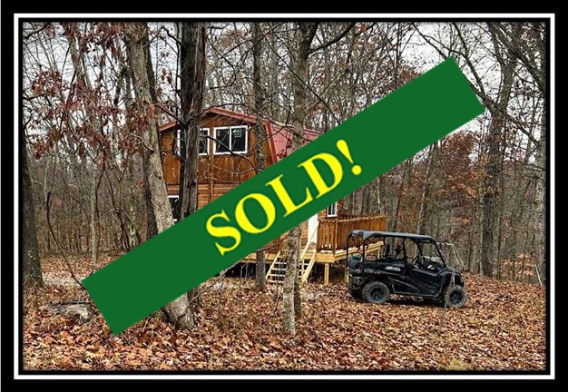
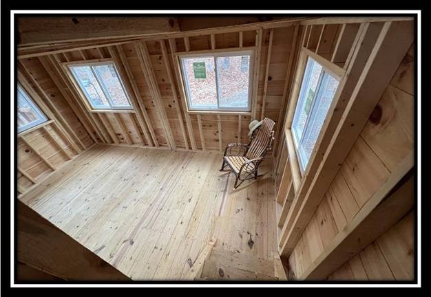
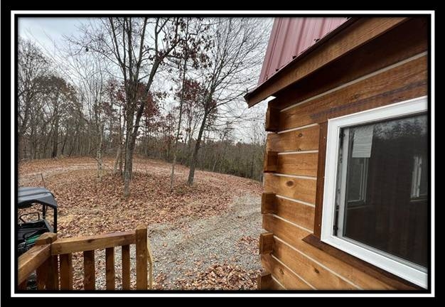
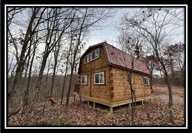
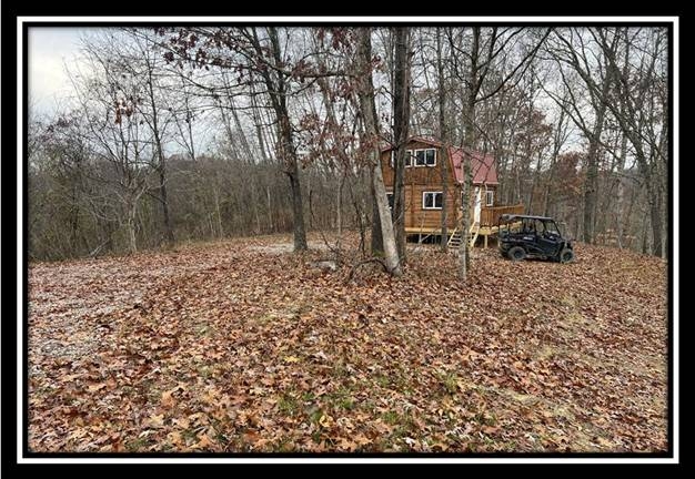
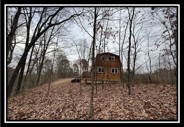
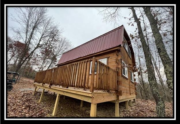
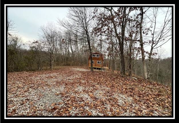
Amish Built 2 Story Log Style Cabin on 5 Wooded Acres

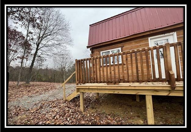
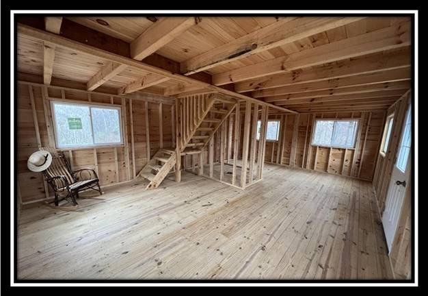
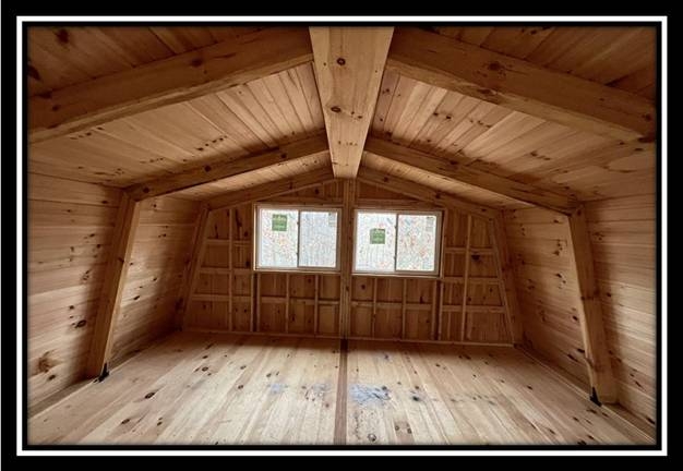
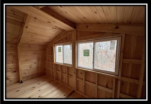
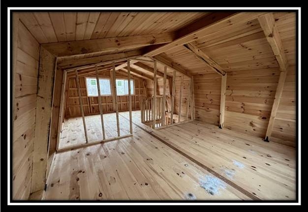
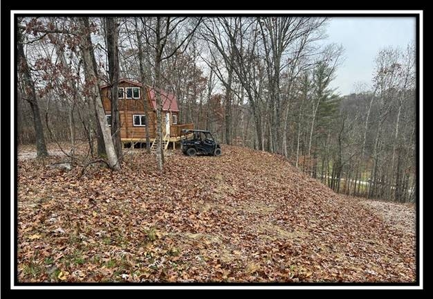
  • New Amish Built 768 sqft – 2 bedroom – 2 Story Log Style Pine Cabin
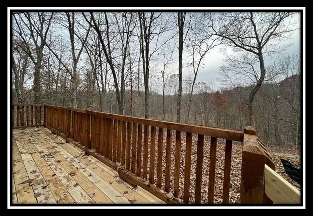
  • 6 x 24 Side Deck
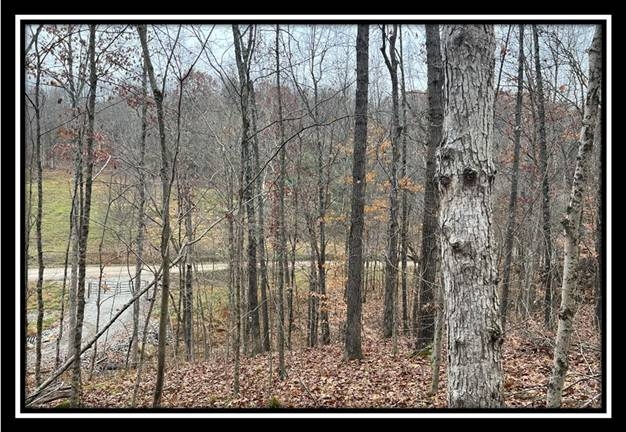
  • Tremendous Views
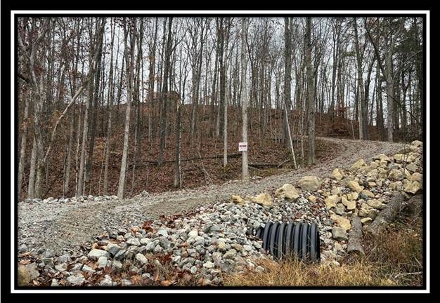
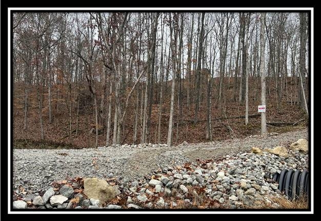
  • New Gated Gravel Driveway
  • Beautiful Rocky Creek
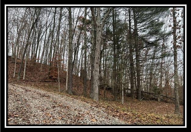
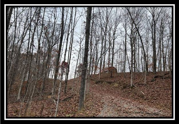
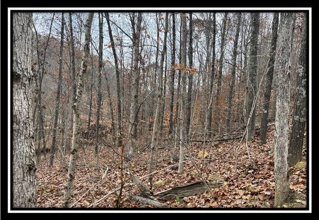
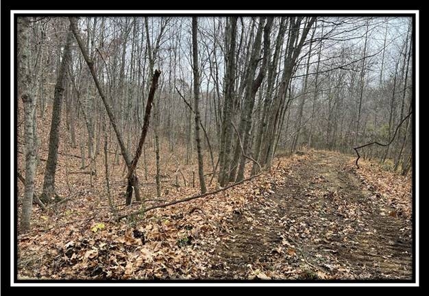
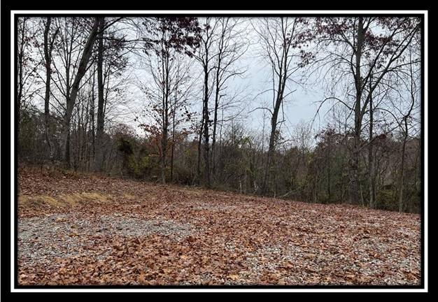
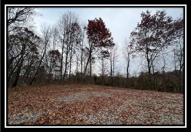
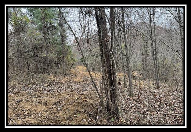
  • Mature Open Canopy Woods
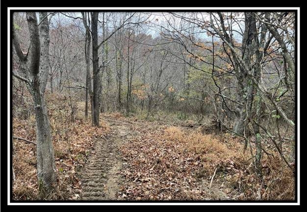
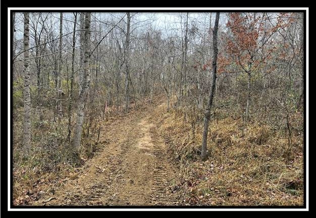
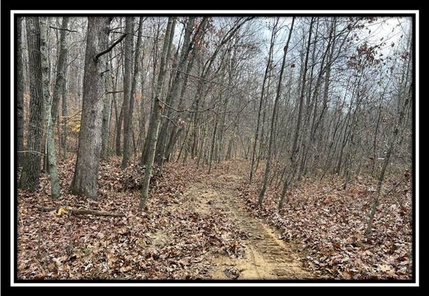
  • Extensive New Trail System
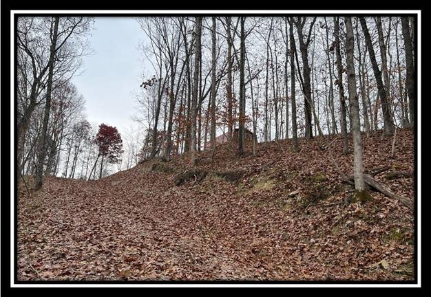
  • Varied Topography, with Gentle Ridge Top
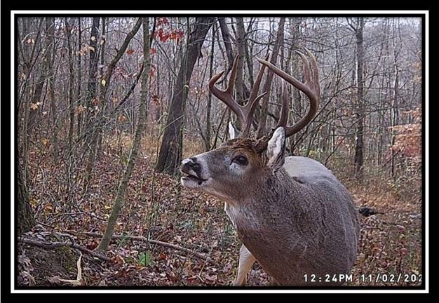
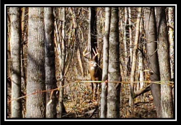
  • Loaded with Wildlife (Deer Pics are from Tracts 2 and 5)
  • Excellent Deer and Turkey Hunting
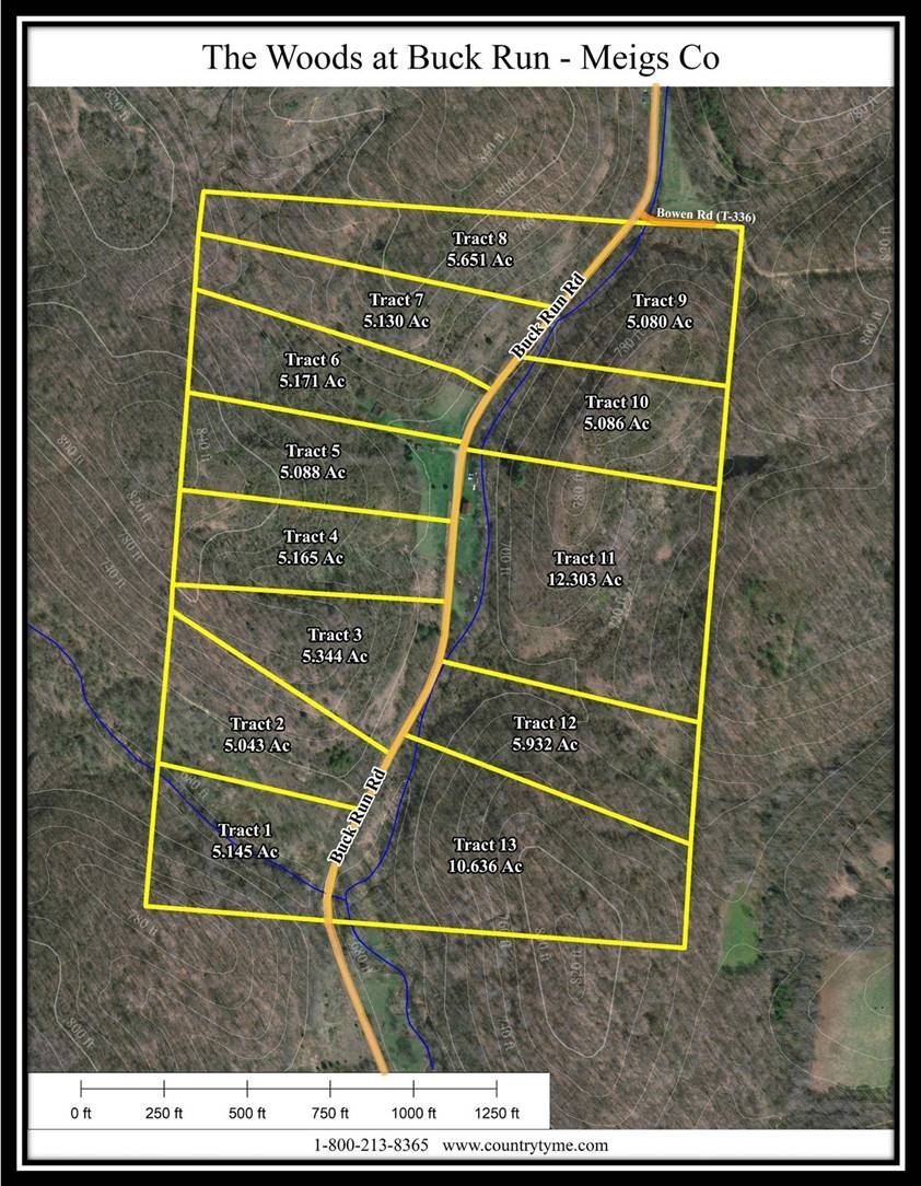
  • 5.086 Aces - Tract 10 at The Woods at Buck Run, a deed restricted large lot development
  • Beautiful Remote Country Setting
  • Soil Test Complete for Onsite Septic
  • Additional Acreage Available
  • Oil and Gas Rights Transfer with no active leases (ATO)
  • Buckeye Rural Electric Available
  • Leading Creek Water Available
  • Salem Twp, Meigs County
  • Meigs Local School District
  • GPS Coordinates : 39.099957, -82.305052

    Buck Run is located:
  • 2 Miles to Wilkesville
  • 20 Miles to Jackson
  • 20 Miles to Athens
  • 87 Miles to Columbus
  • 120 Miles to Cincinnati
  • 121 Miles to Dayton

    35648 Buck Run Road, Langsville, Ohio 45741
    (Address listed is only an estimate for mapping, not officially assigned)
    GPS Coordinates : 39.096162, -82.306583


    Countrytyme Maps and Additional Information


  • A Countrytyme advantage

    Take the property lines into the field.

    On your phone, tap Walk property lines, allow your location when asked, and follow the blue dot in Tract Explorer to see your position in relation to the mapped boundary while you explore.

    Walk property lines

    Property photos