This property has sold.
The interactive map and property-line walking tools remain available. Driving directions are not provided for sold properties.
Interactive property map
Explore this property map. Switch aerial, topographic, soil, water, contour, and terrain layers while the mapped project boundary stays visible.
Property Description Tract 2 – Perry RidgeVery Easy Access to Perry State Forest ATV Tails
Picturesque Home/Cabin Site or Recreational Retreat
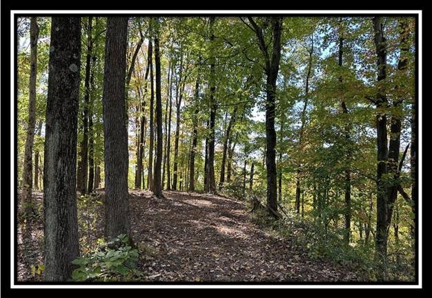
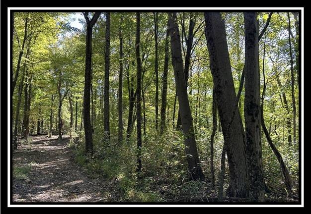
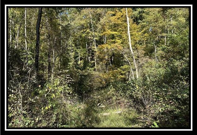
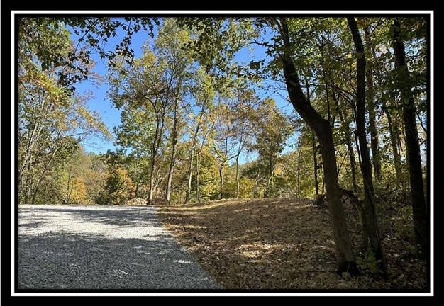
Park Like Setting with Beautiful Mature Woods
Tremendous Views
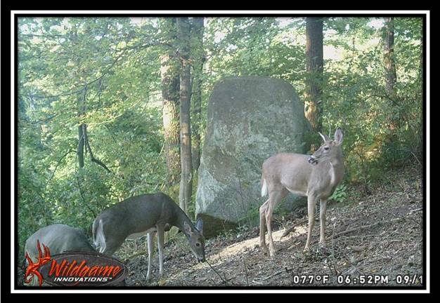
Some Rock Features
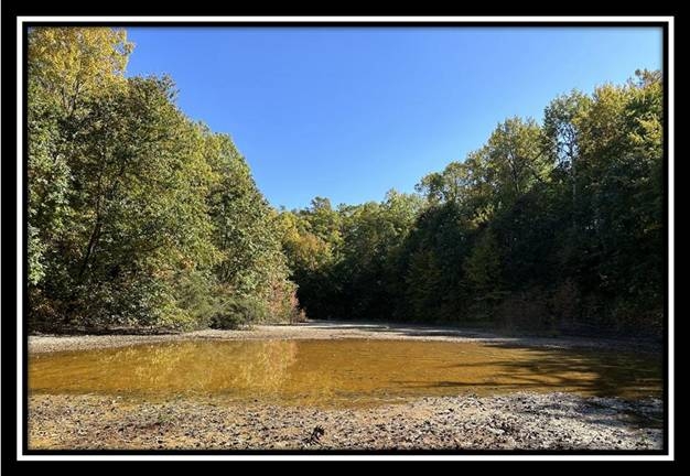
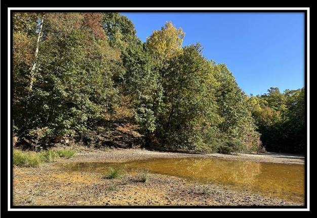
Shallow Ponds – Great Watering Holes for Wildlife (no fish)
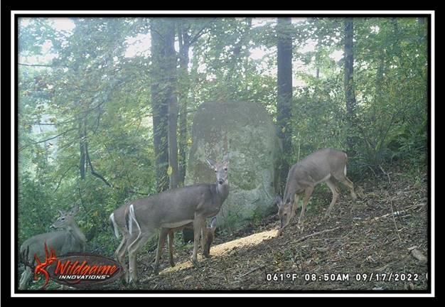
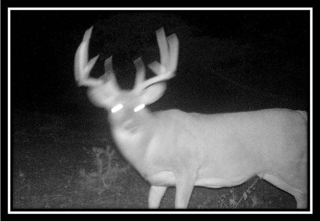
Abundant Wildlife, Trophy Deer Hunting
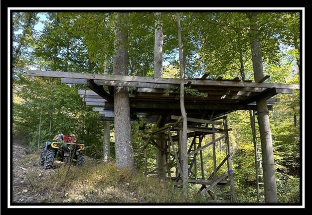
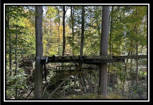
Elevated Platform in the trees – Let your imagination run wild
New Ladder Stand in prime hunting location
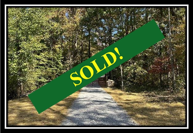
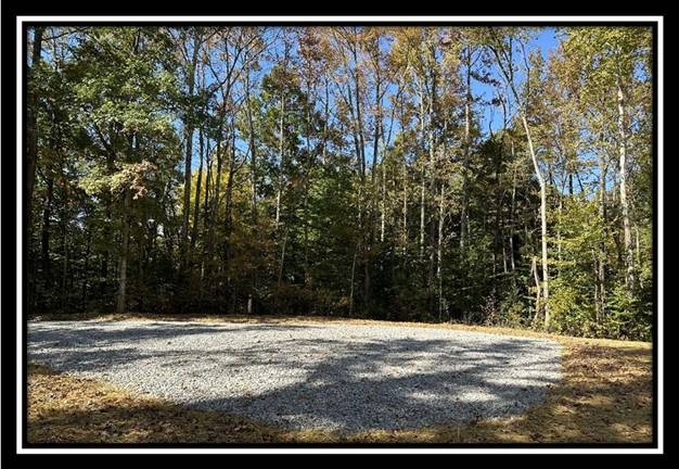
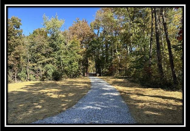
New Gated Gravel Driveway
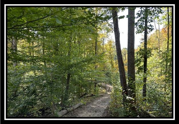
Varied Topography with Extensive New gentle trail system
Endless Recreational Opportunities both on the property and in the area
Only Minutes to Thousands of Acres of Public Hunting and Recreation
Only Minutes to Multiple ATV Areas, Some of the best Off Road Trails in Ohio
21.659 Acres (New Survey – Tract 2 at Perry Ridge)
No Zoning and No Deed Restrictions
Additional Acreage Available
AEP Electric at the road
Harrison Township, Perry County
Crooksville Local School District
Part of Parcel # 070001630000 1.5 miles to Perry State Forest
6 miles to New Lexington
9 miles to Somerset
47 miles to Columbus
100 miles to Canton
114 miles to Dayton
143 miles to CincinnatiRecreational Links of Interest:
Perry State Forest: More tracts in Perry Ridge A Countrytyme advantage
Take the property lines into the field. On your phone, tap Walk property lines , allow your location when asked, and follow the blue dot in Tract Explorer to see your position in relation to the mapped boundary while you explore.
Walk property lines Property photos Show 3 more photos