Talk to a specialist: 800-213-8365

Perry County · Sold

Lot 5 at Perry Ridge

Old State Rd
Crooksville, Ohio 43731

Acreage

6.18 acres

This property has sold.

The interactive map and property-line walking tools remain available. Driving directions are not provided for sold properties.

Interactive property map

Explore this property map.

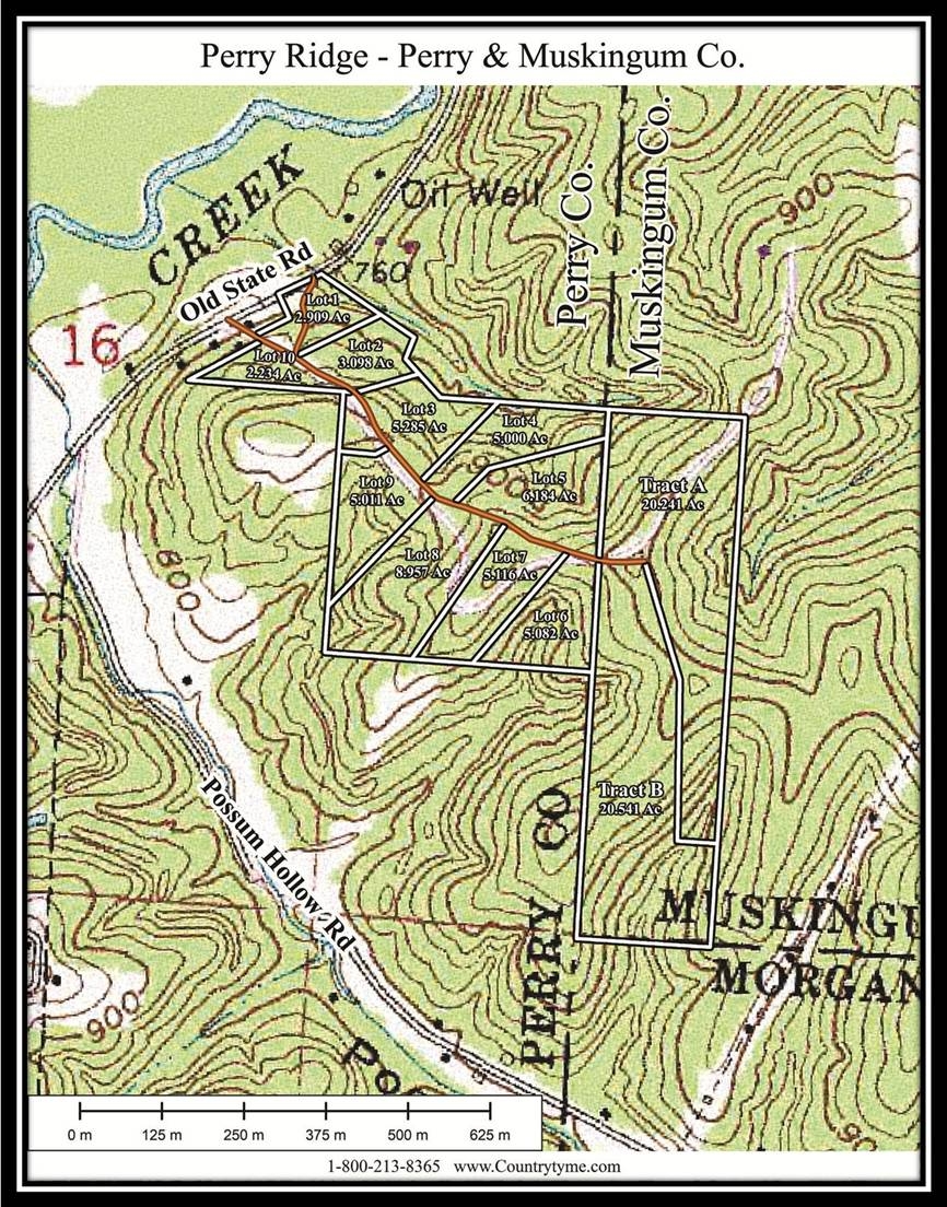
Switch aerial, topographic, soil, water, contour, and terrain layers while the mapped project boundary stays visible.

Property Documents

Property Description

Lot 5 at Perry Ridge
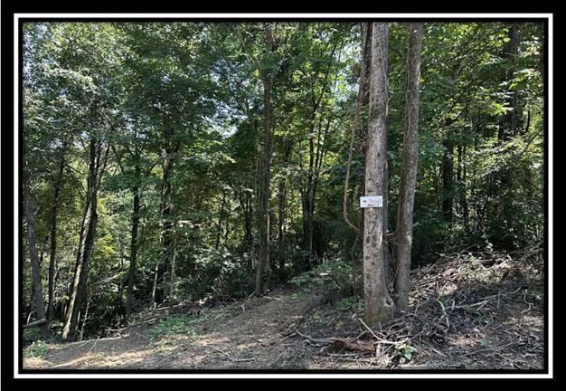
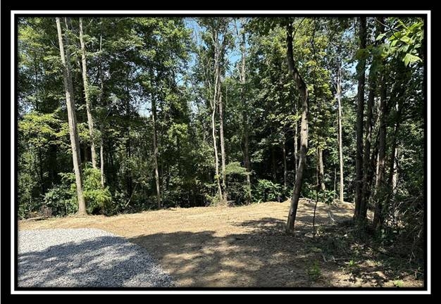
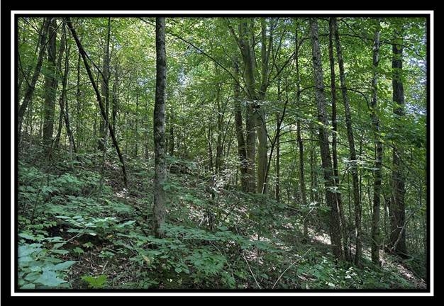
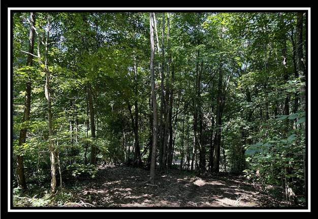
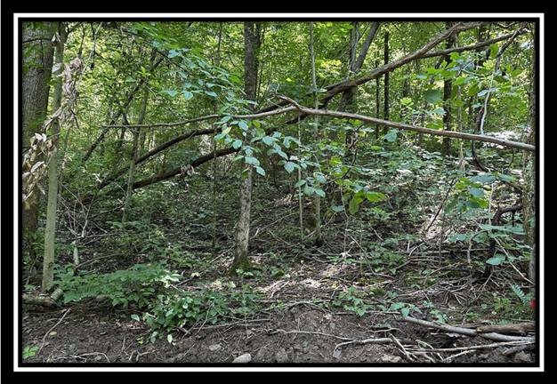
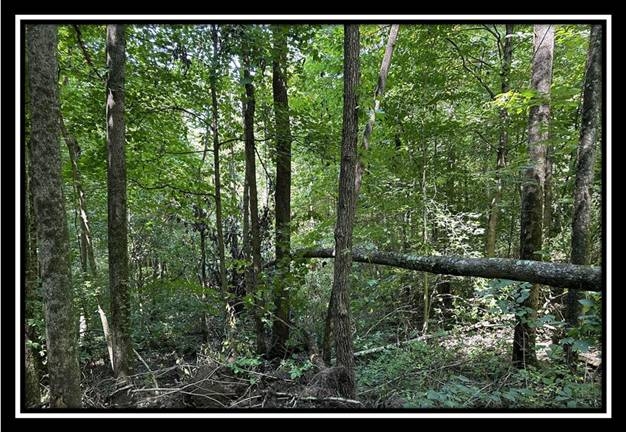
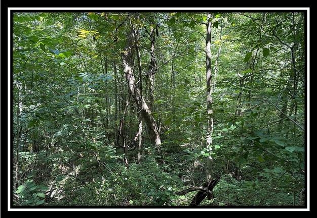
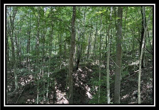
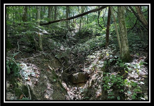
6.2 Ac Wooded Home/Cabin Site or Recreational Retreat
Old State Rd, Crooksville, Ohio
Perry County

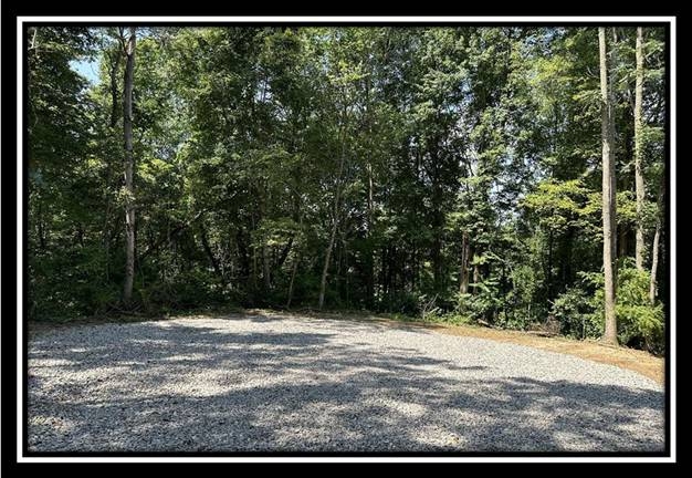
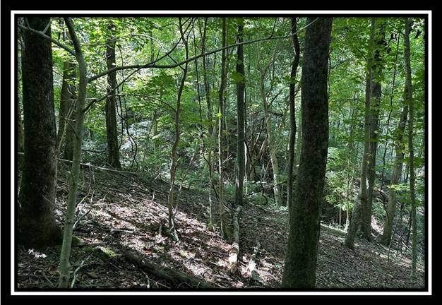
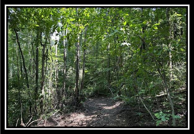
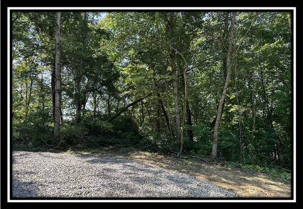
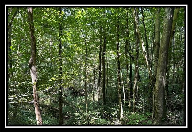
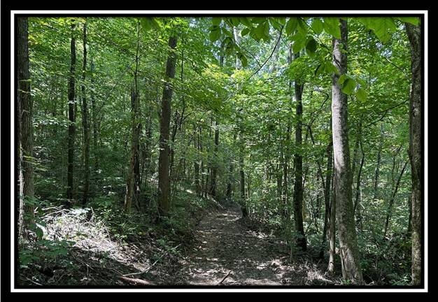
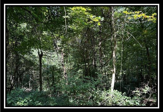
  • Beautiful Wooded Home/Cabin Site or Recreational Retreat
  • Minutes Away from Countless Outdoor Recreational Opportunities
  • Lot 5 at Perry Ridge, a Deed Restricted Large Lot Development
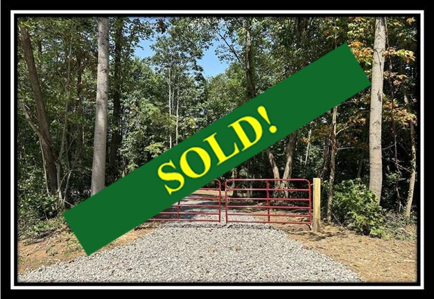
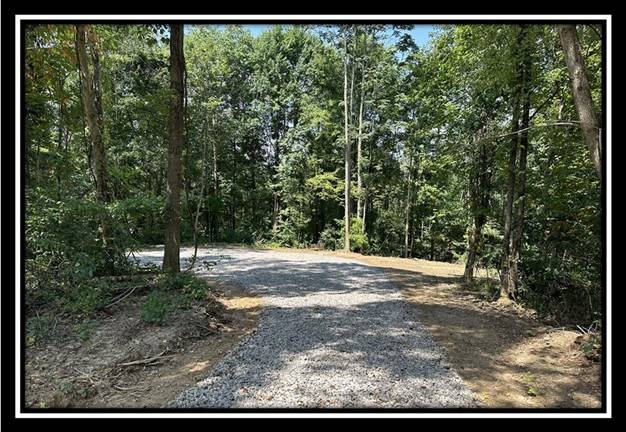
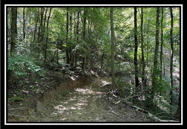
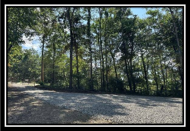
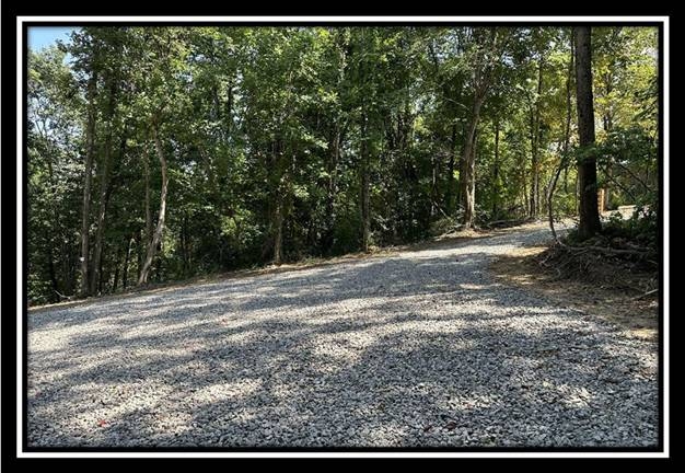
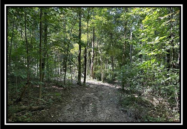
  • New Gated Gravel Driveway
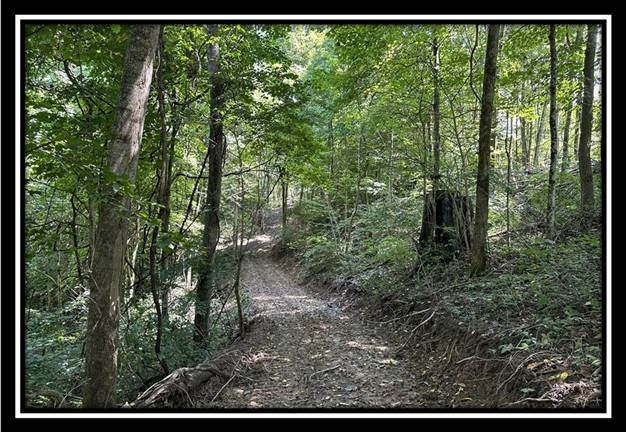
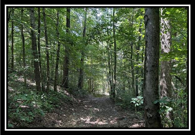
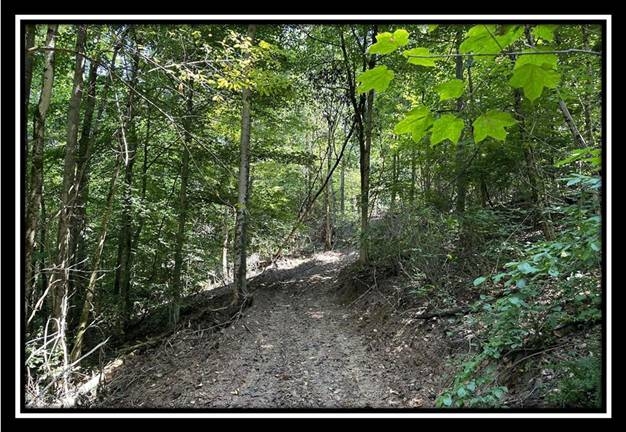
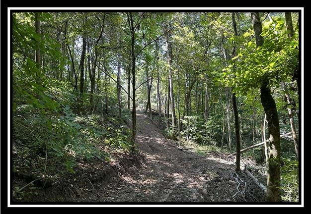
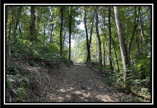
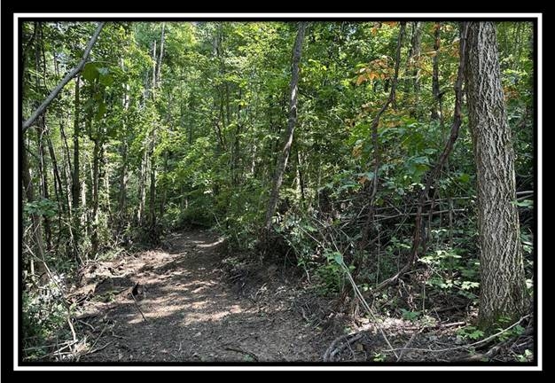
  • Extensive New Trail System
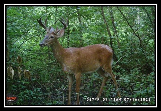
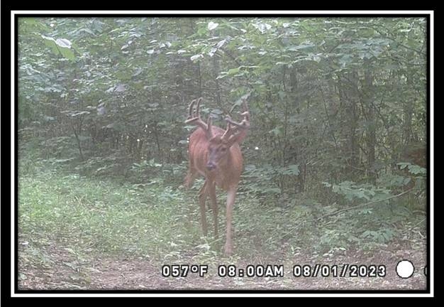
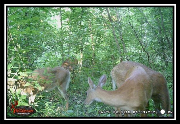
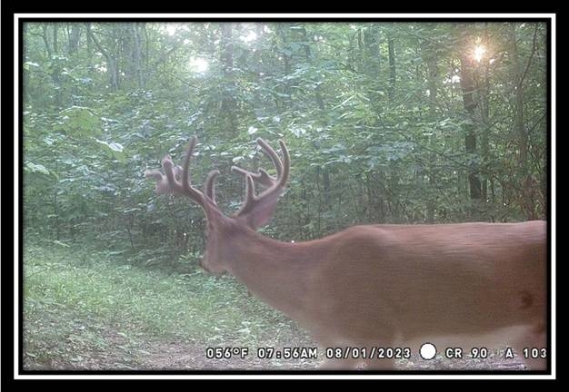
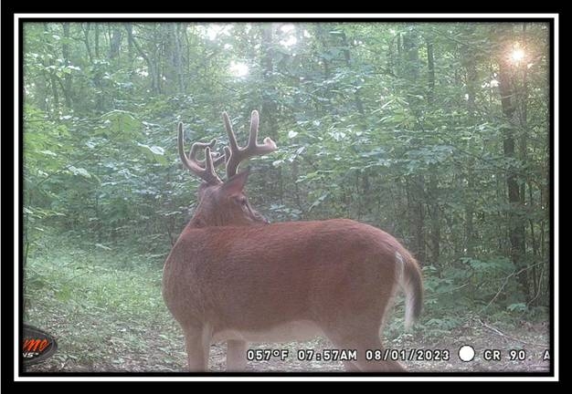
  • Abundant Wildlife
  • Excellent Deer and Turkey Hunting
  • Oil Gas Rights Transfer subject to current lease (ATO)
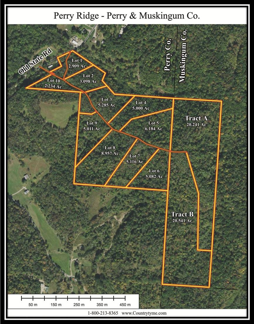
  • New Survey – 6.184 Acres
  • Additional Tracts Available
  • No Zoning
  • Excellent Cell Phone Service
  • New AEP Electric Installed Along Private Roadway
  • Beautiful Remote Country Setting
  • Harrison Township, Perry County
  • Crooksville Exempted Village School District
  • Part of Parcel #’s 07-000566-0000, 07-000266-0000, 07-000565-0000

    Perry Ridge is in both Perry and Muskingum Counties and is Located:

  • 1 Mile from Crooksville
  • 7 Miles from Perry State Forest
  • 9.5 Miles from New Lexington
  • 10.5 Miles from Wayne National Forest
  • 11 Miles from Zanesville
  • 19.5 Miles from Blue Rock State Park & Forest
  • 24.5 Miles from Appalachian Wildlife Area
  • 51 Miles from Columbus

    Old State Rd, Crooksville, OH 43731
    GPS Coordinates: 39.776985, -82.078774


    Countrytyme Maps and Additional Information


  • A Countrytyme advantage

    Take the property lines into the field.

    On your phone, tap Walk property lines, allow your location when asked, and follow the blue dot in Tract Explorer to see your position in relation to the mapped boundary while you explore.

    Walk property lines

    Property photos