This property has sold.
The interactive map and property-line walking tools remain available. Driving directions are not provided for sold properties.
Interactive property map
Explore this property map. Switch aerial, topographic, soil, water, contour, and terrain layers while the mapped project boundary stays visible.
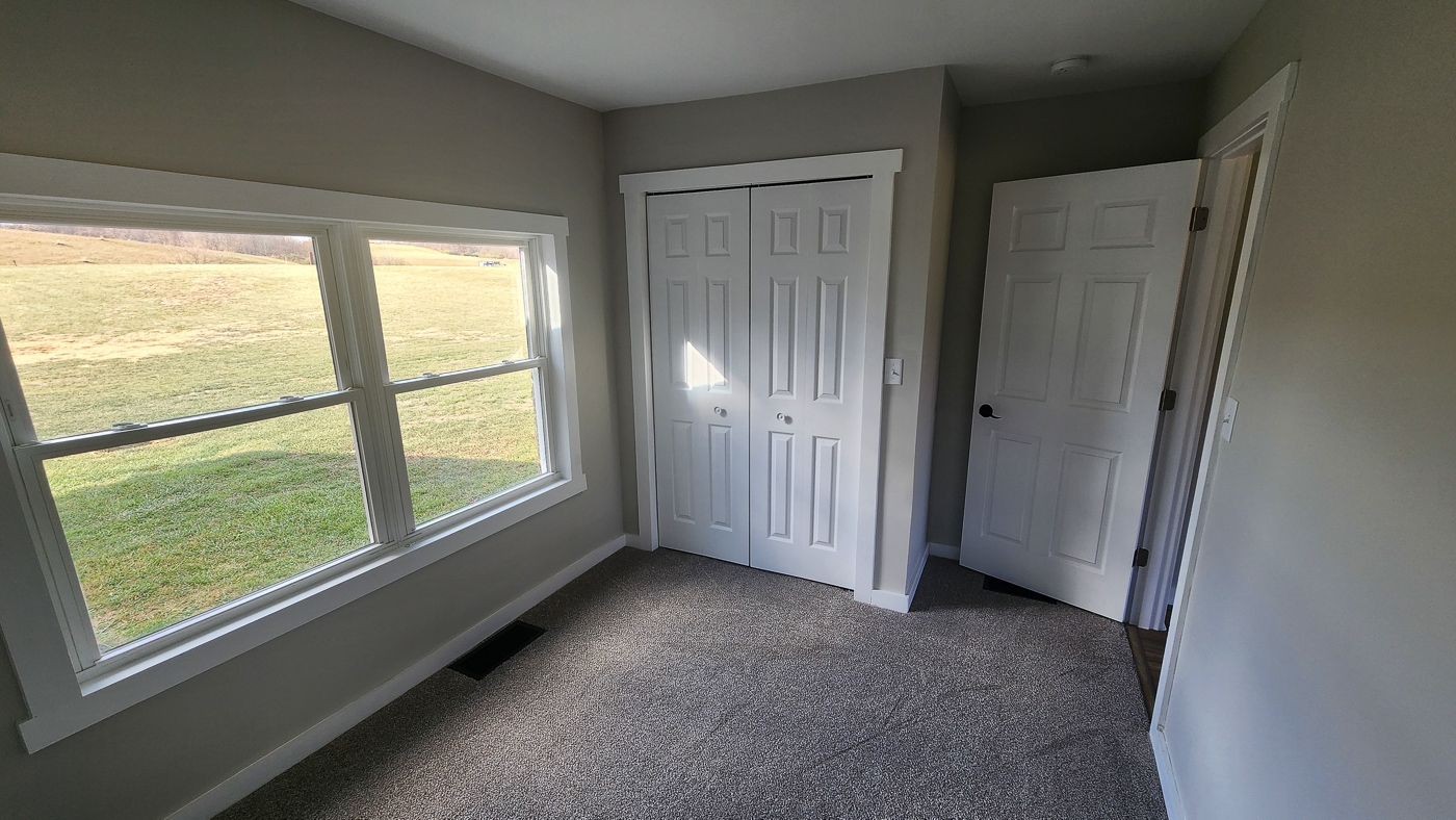
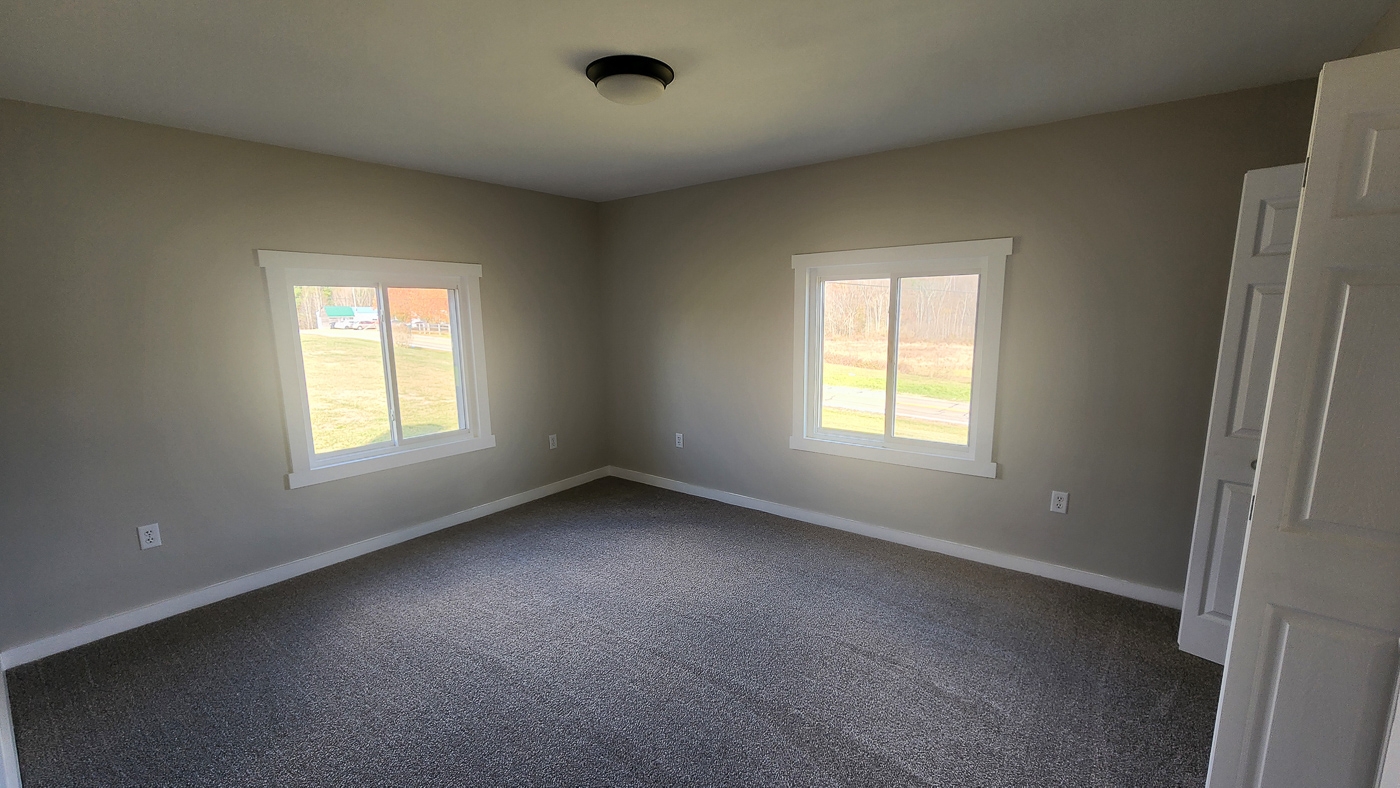
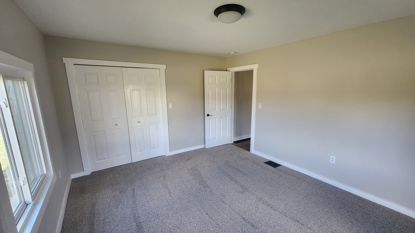
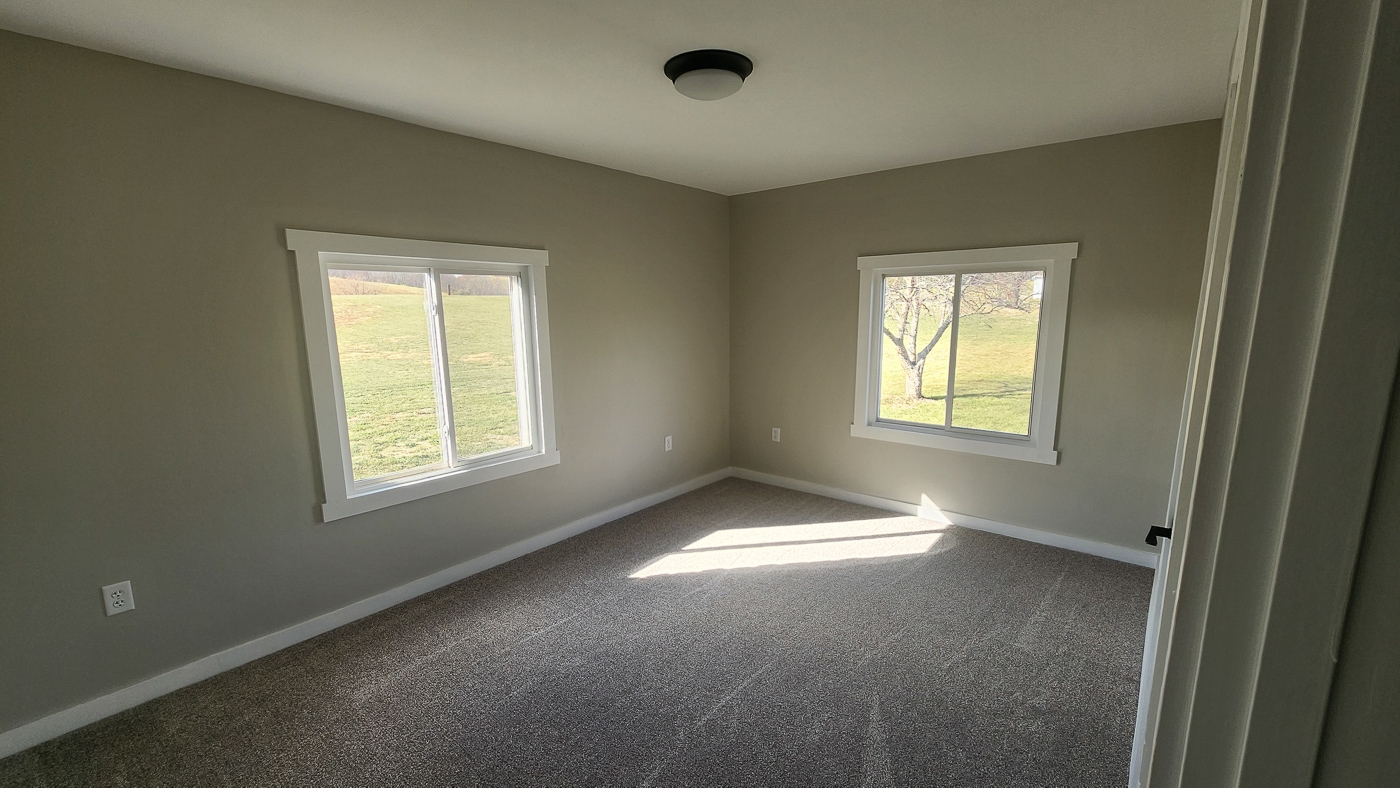
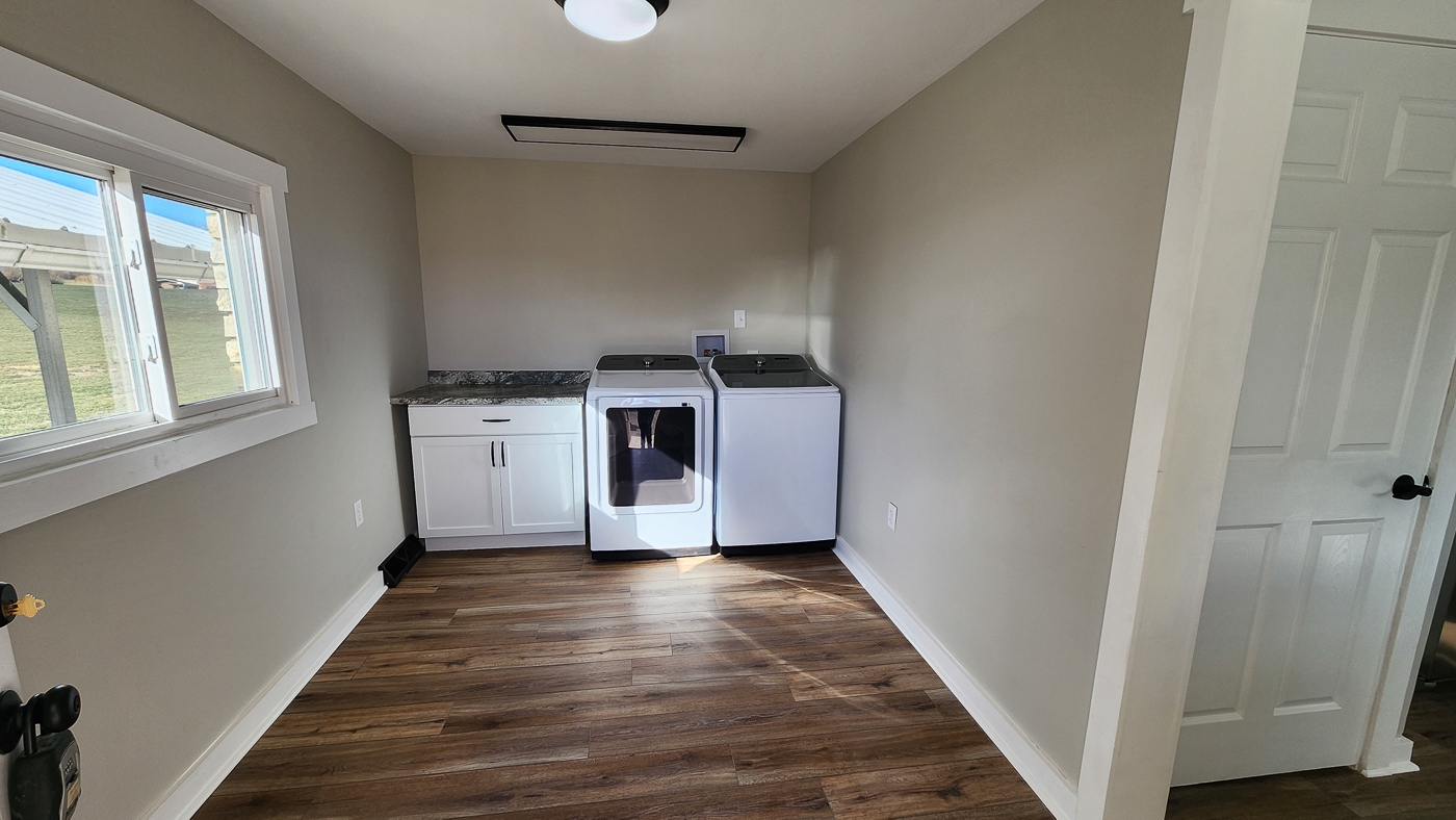
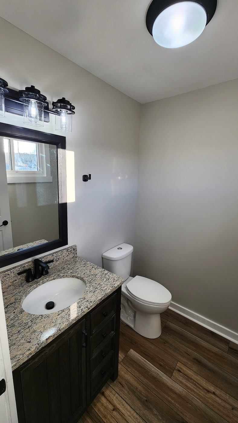
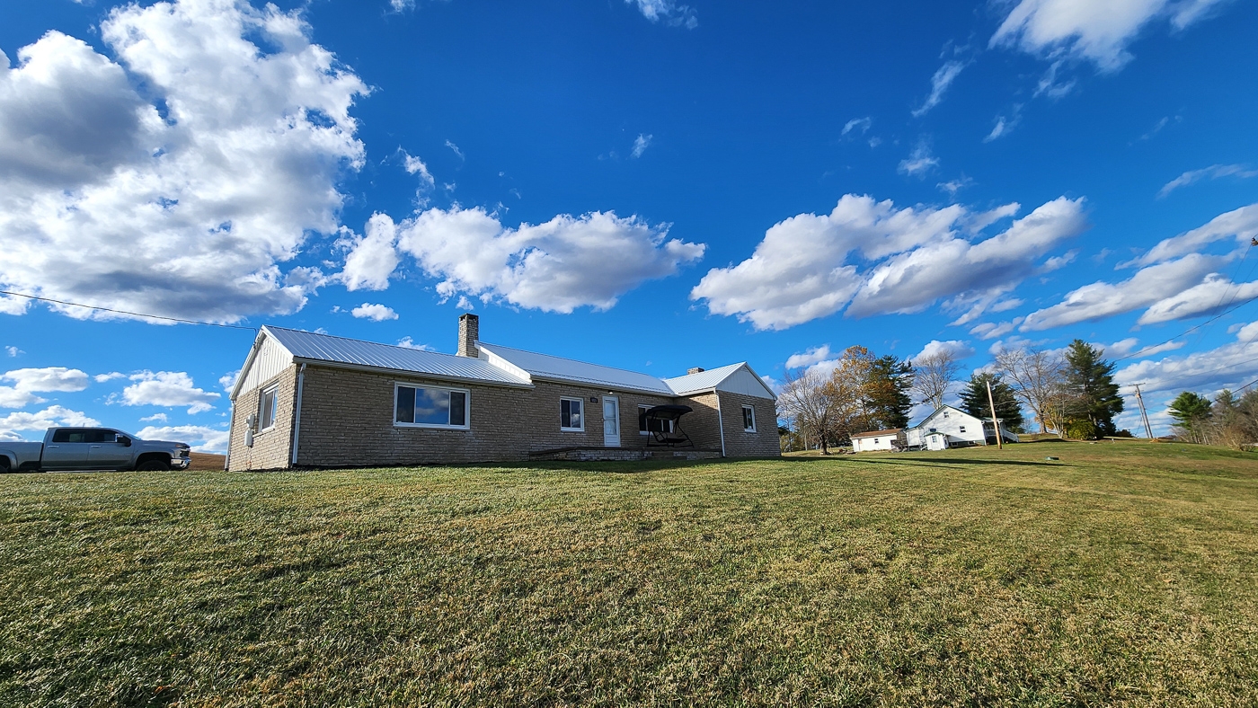
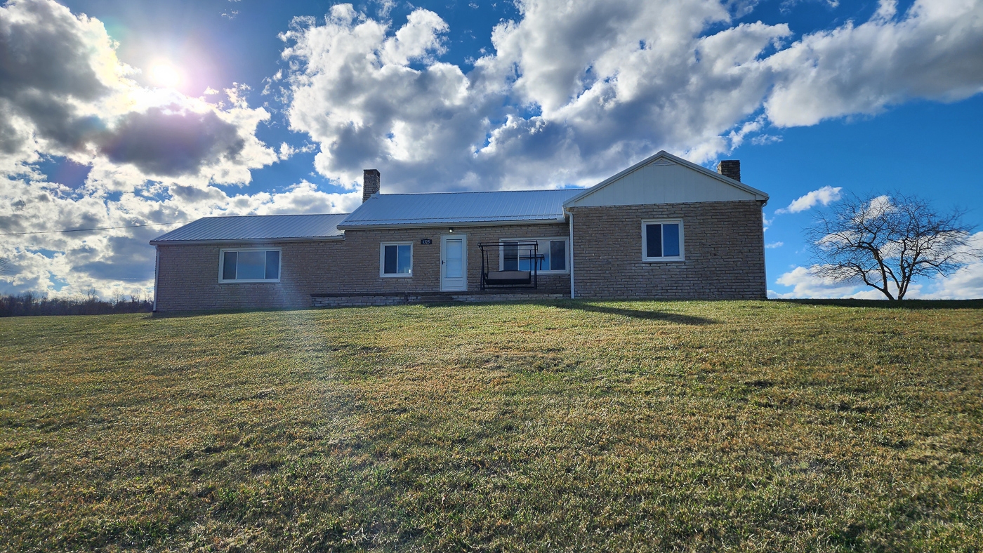
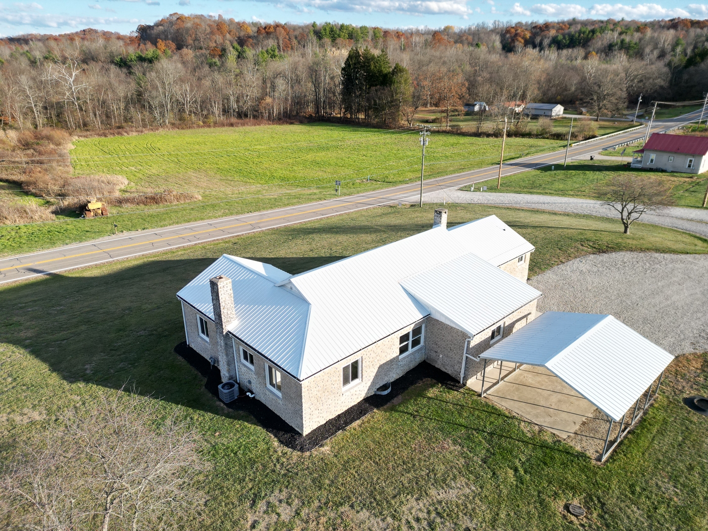
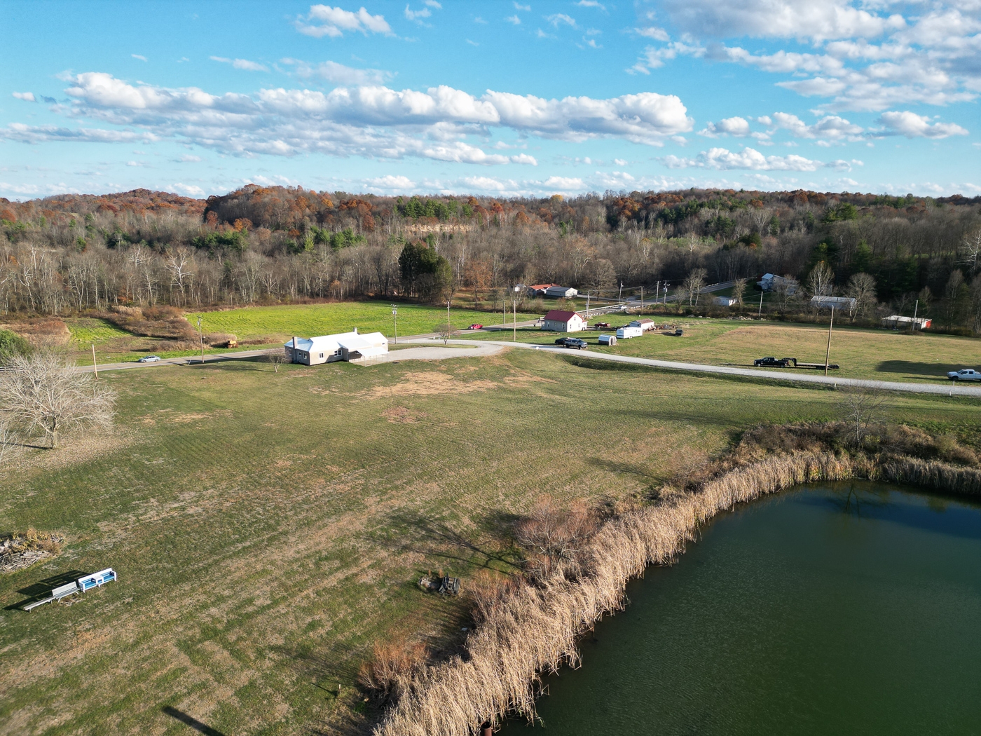
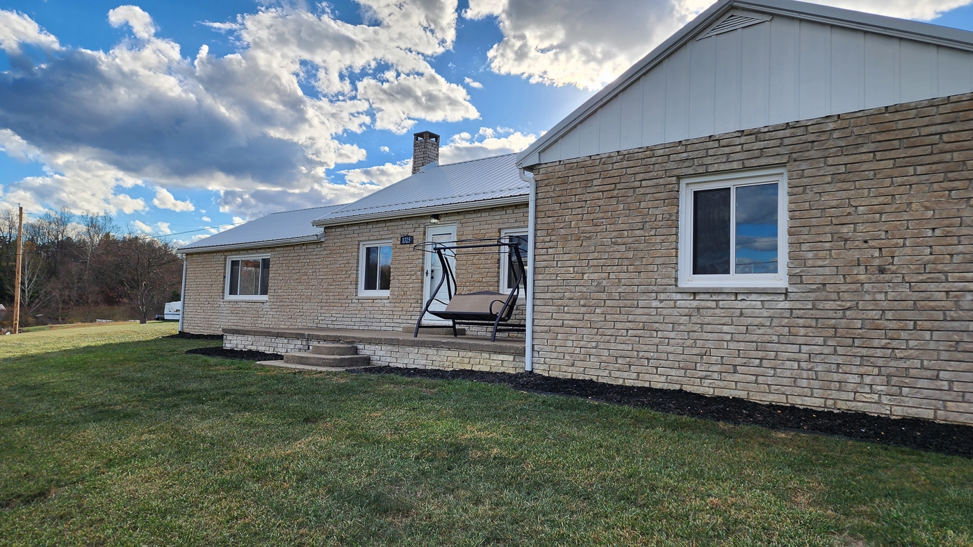
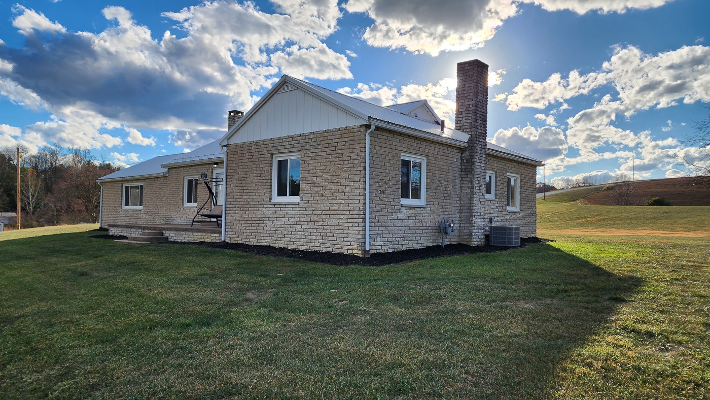
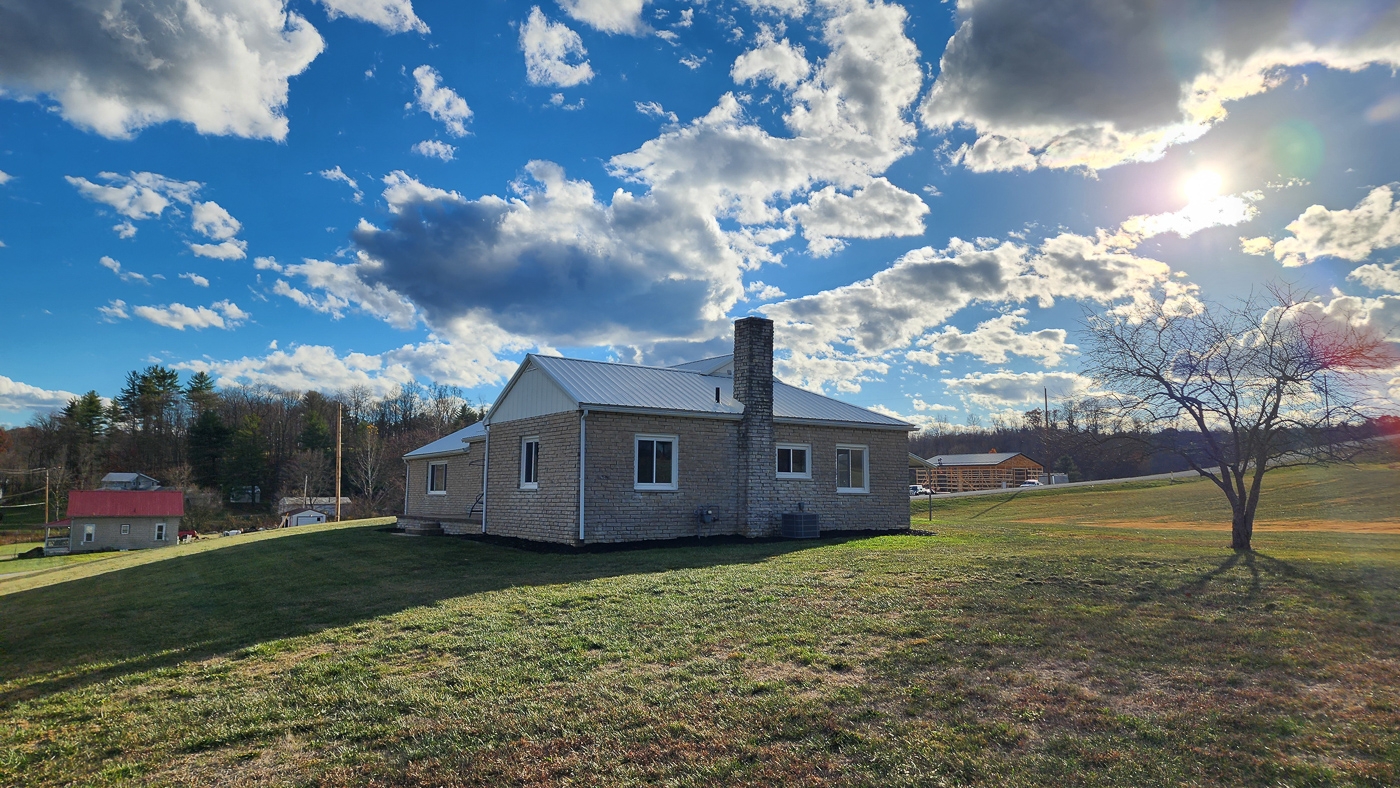
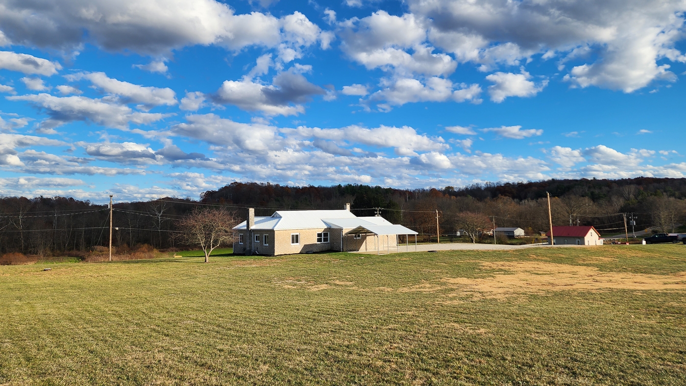
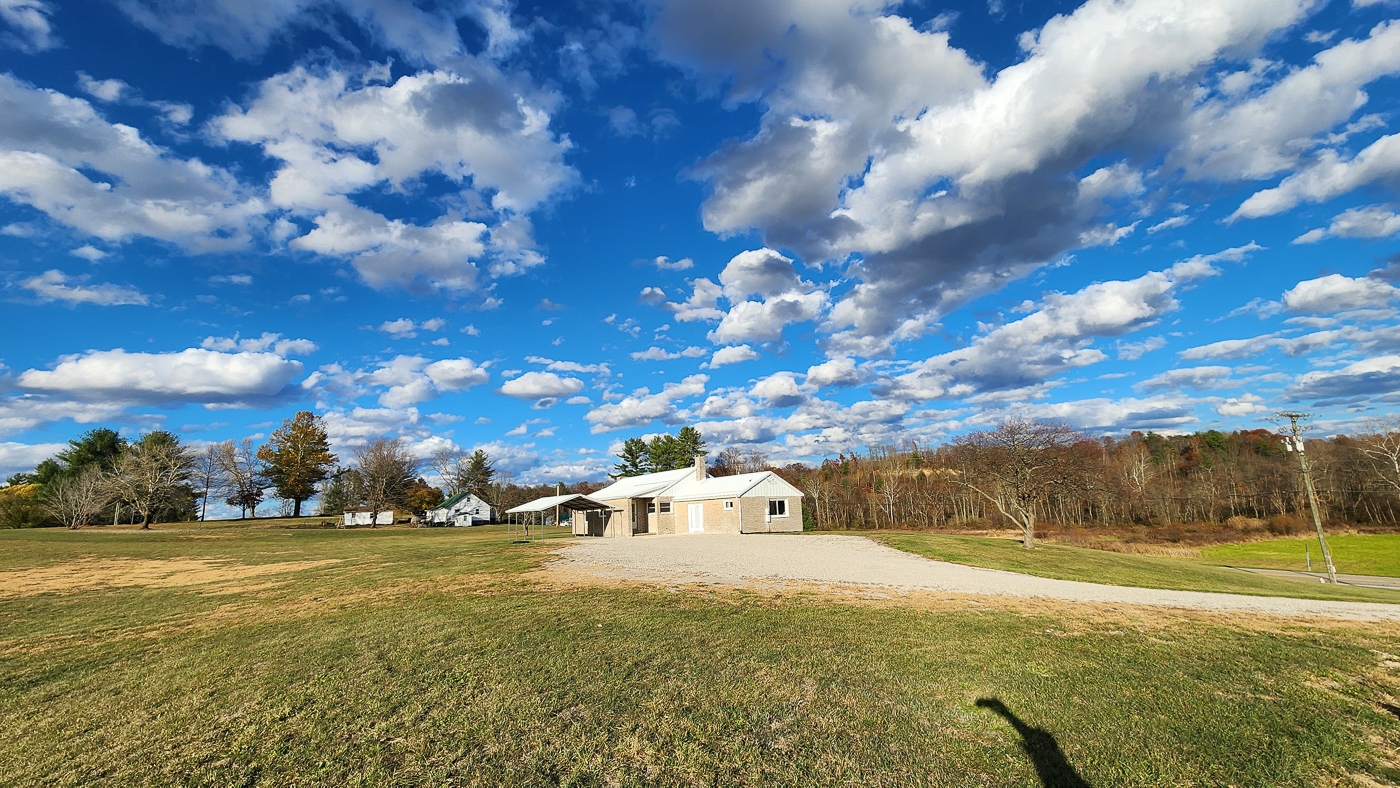
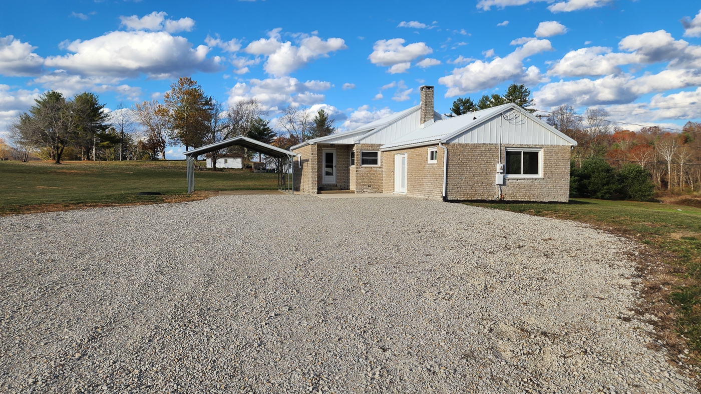
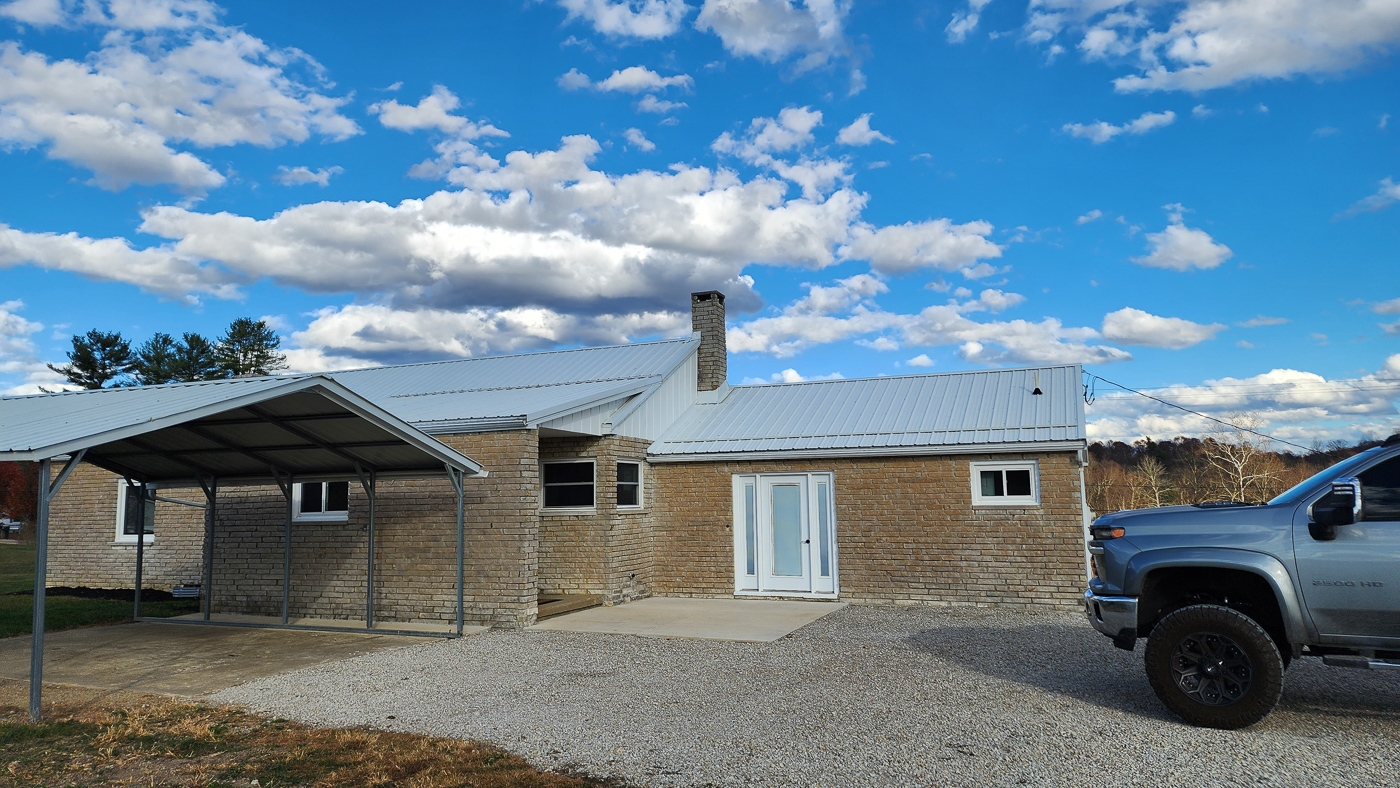
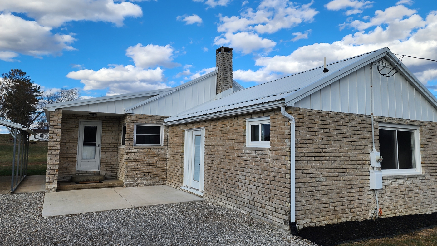
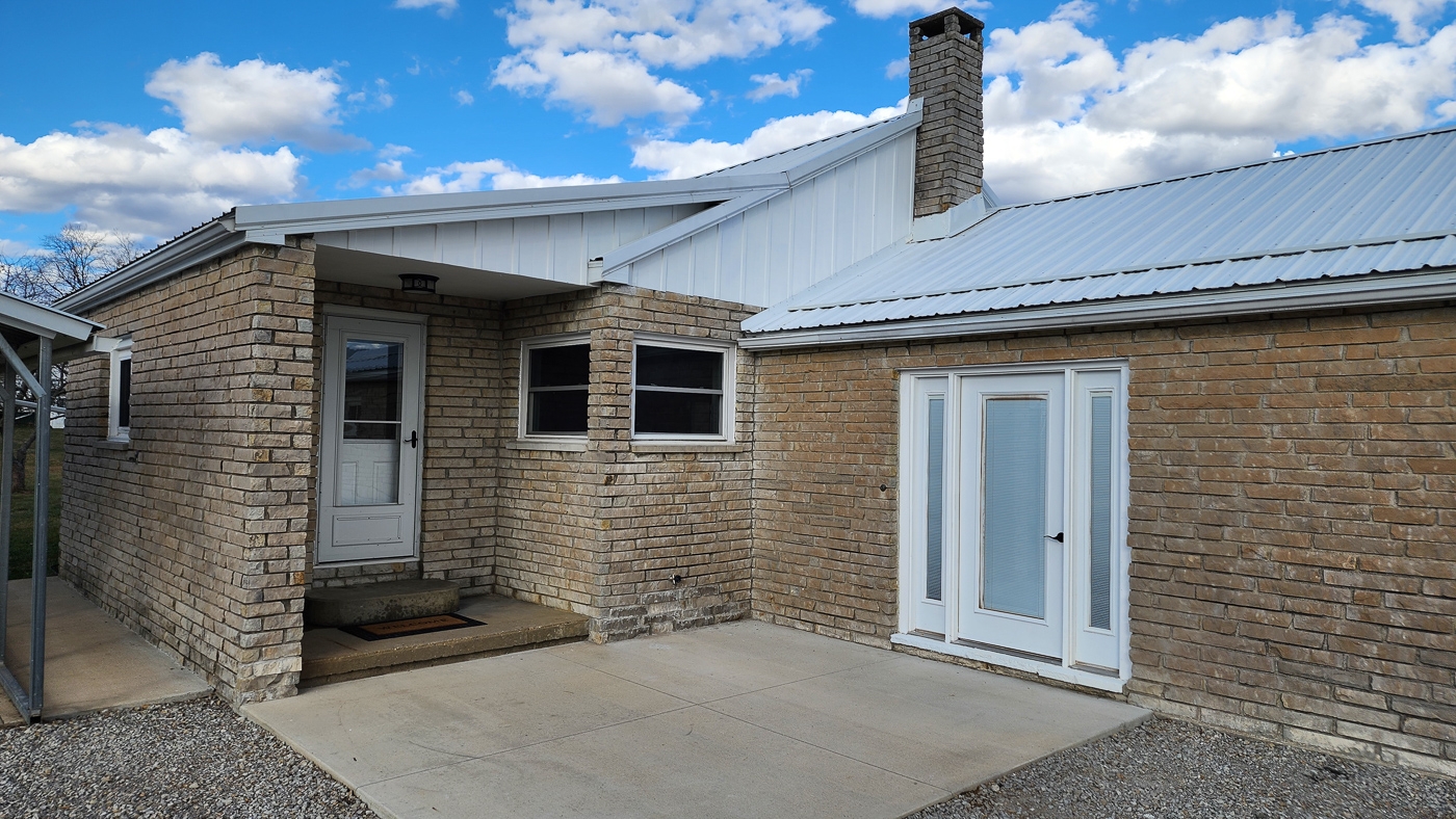
Property Description 1325 State Route 13, Crooksville, OH 43731Single Story Waterfront Home (1,931 sqft), 3 Beds and 1.5 Baths
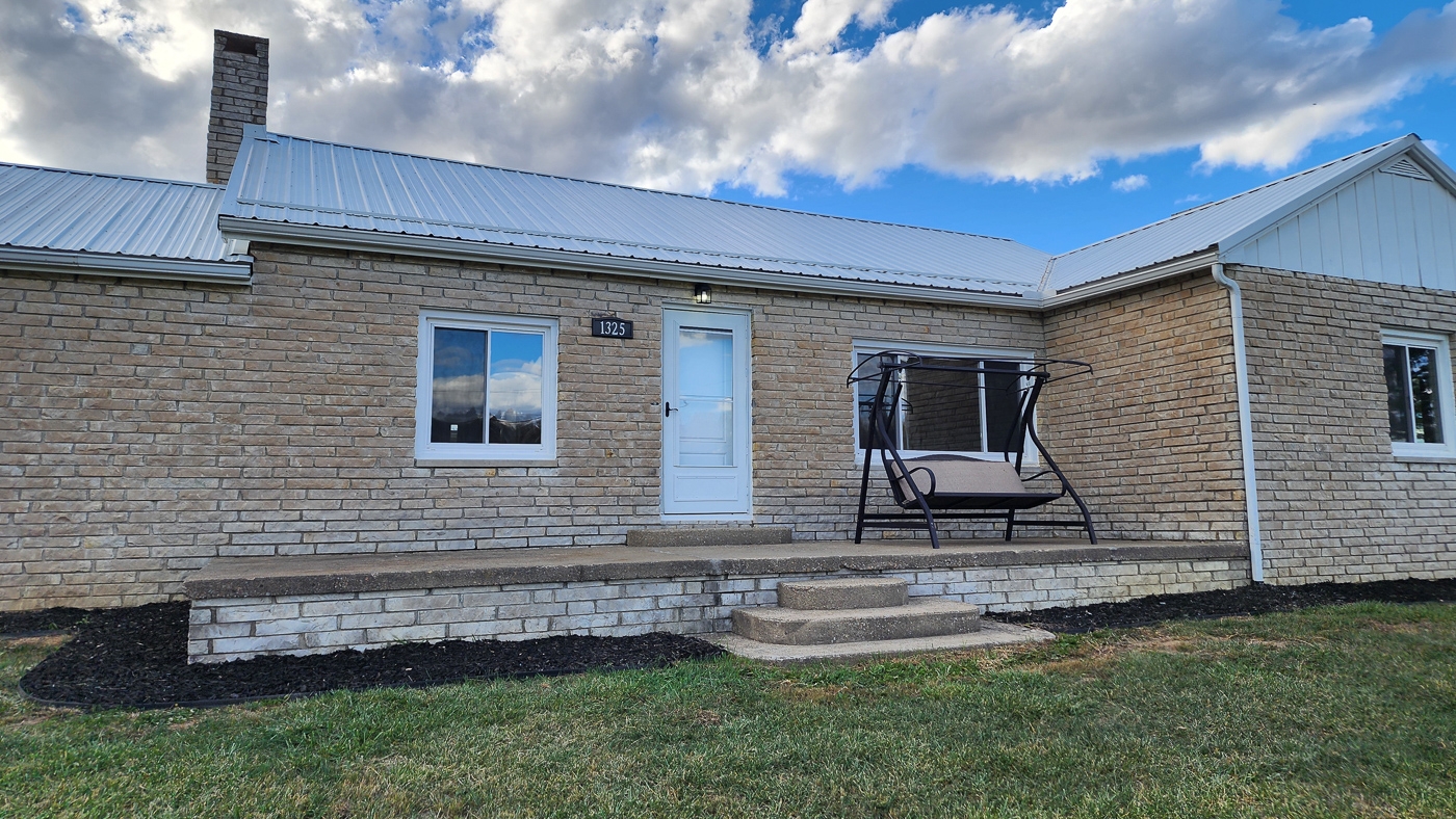
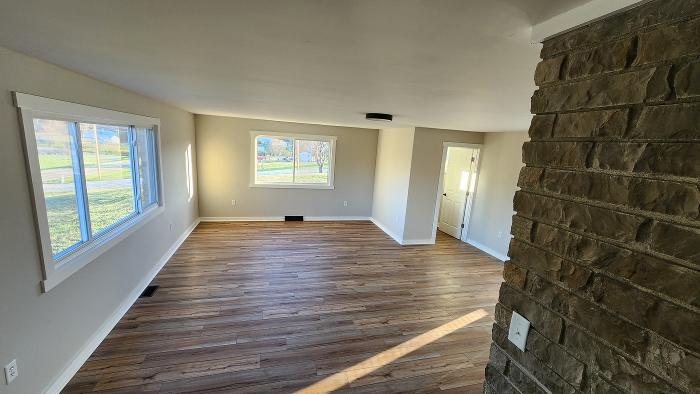
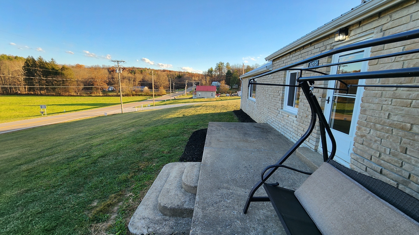
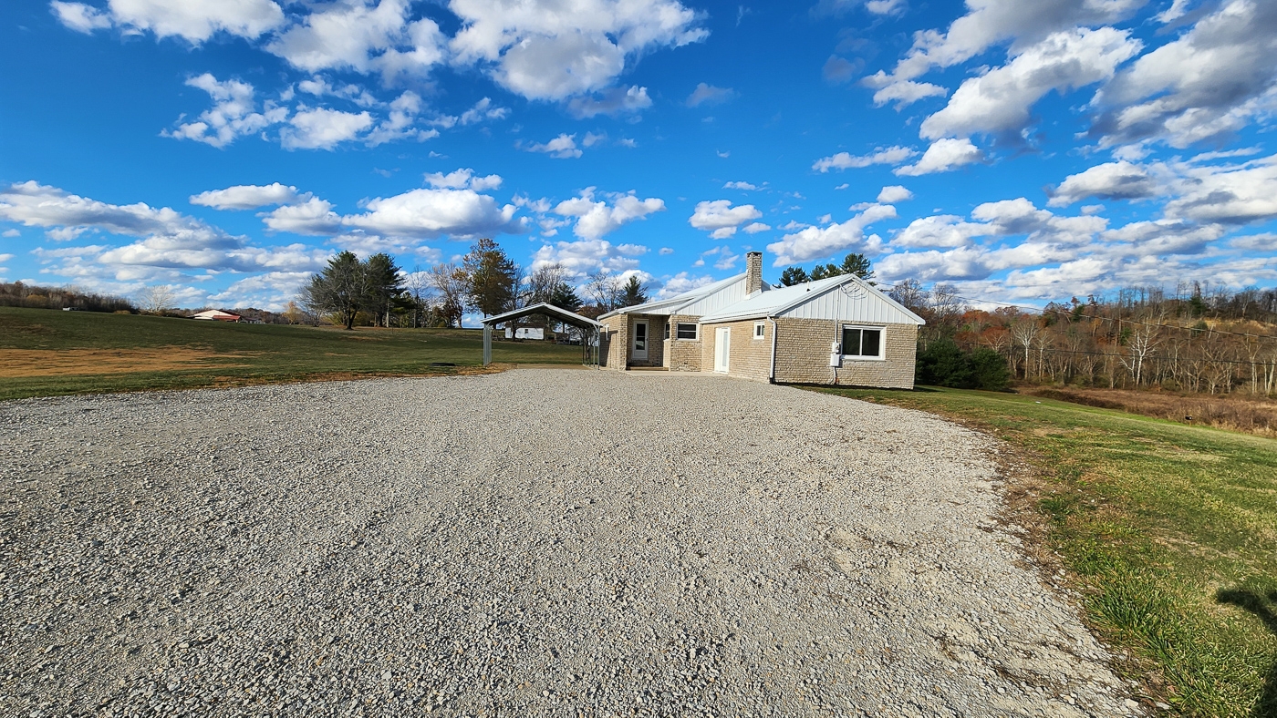
Stone Exterior and Metal Roof
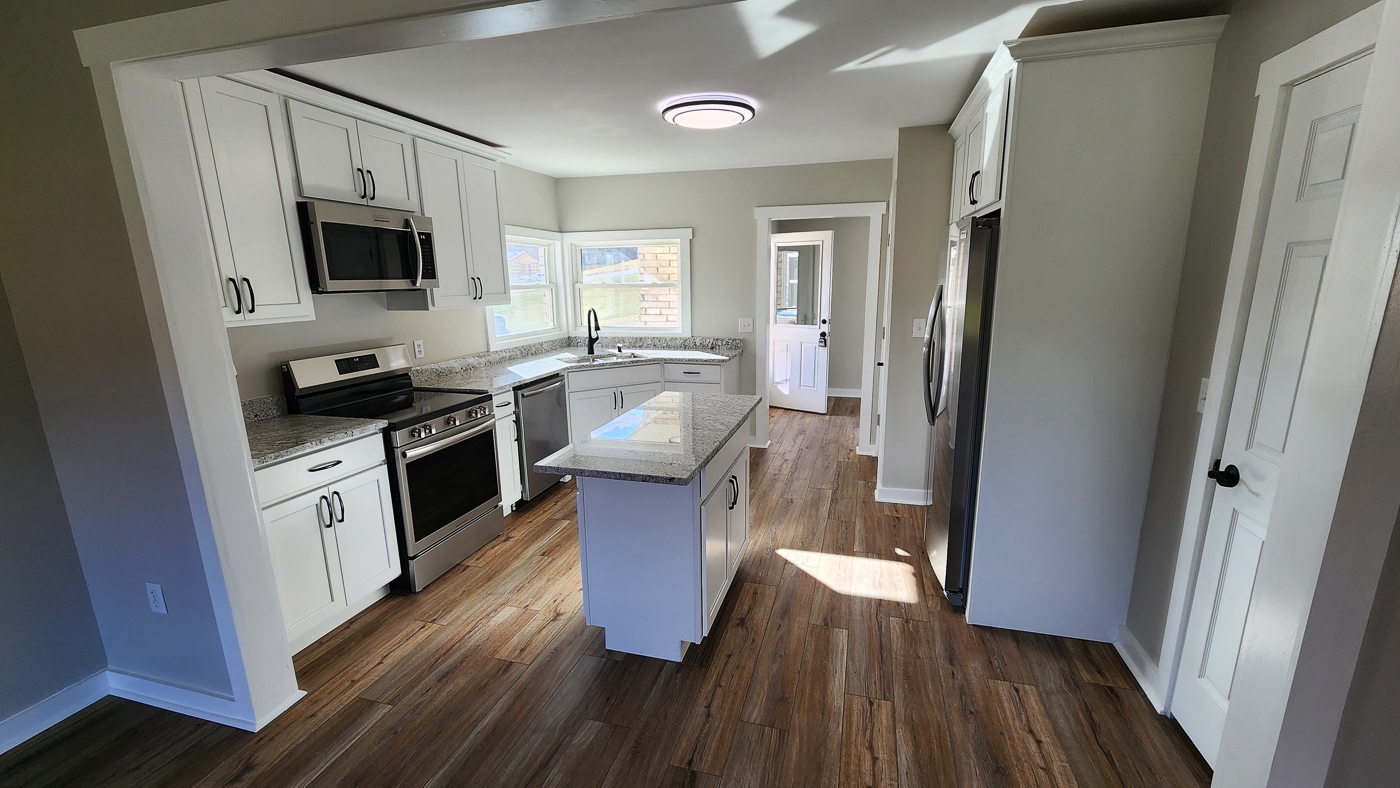
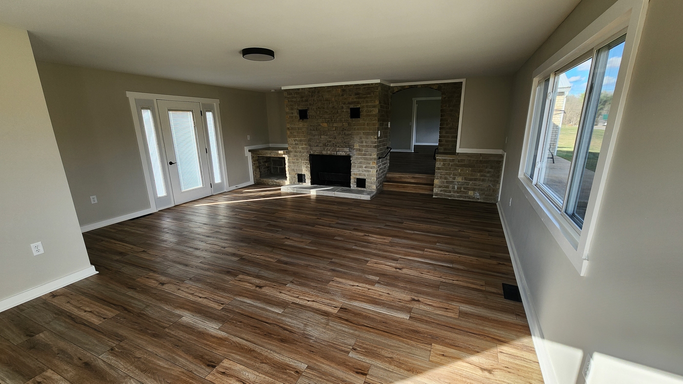
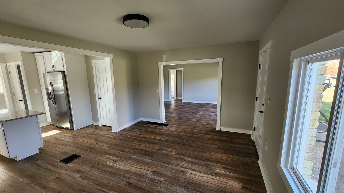
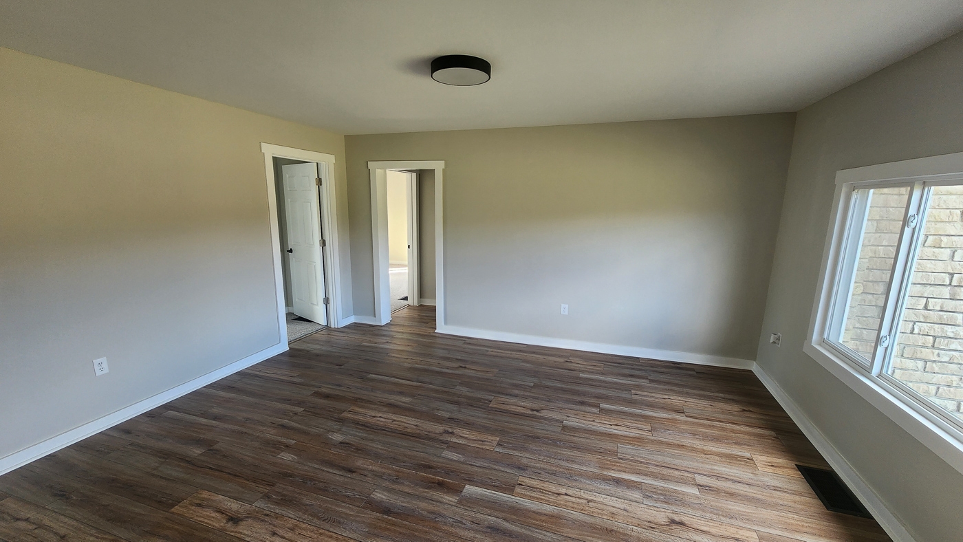
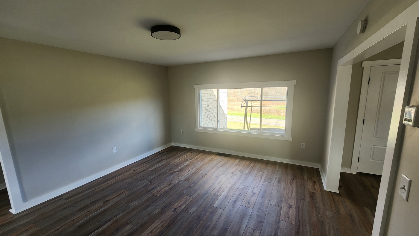
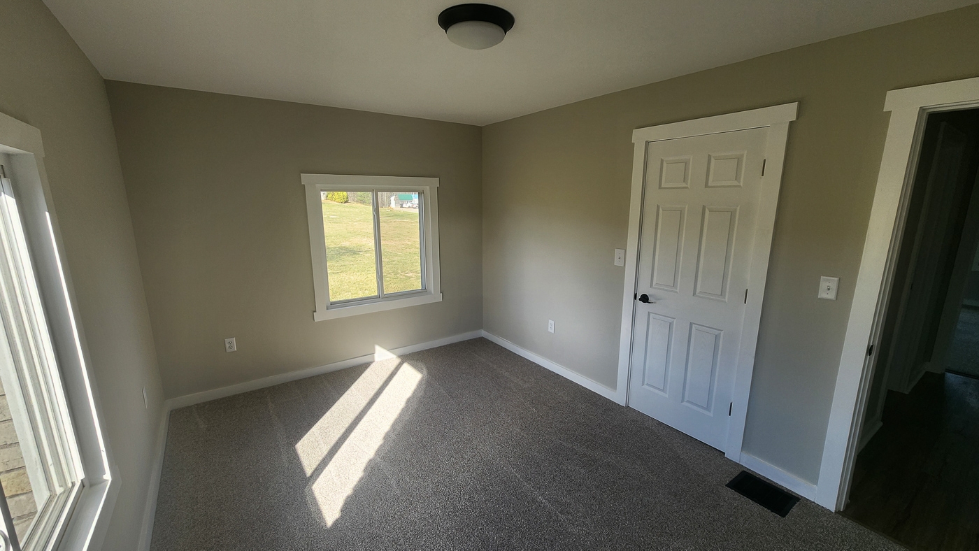
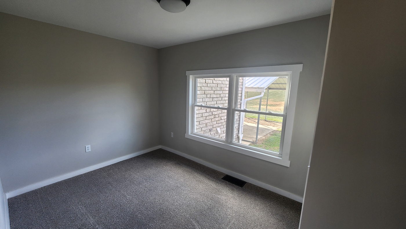
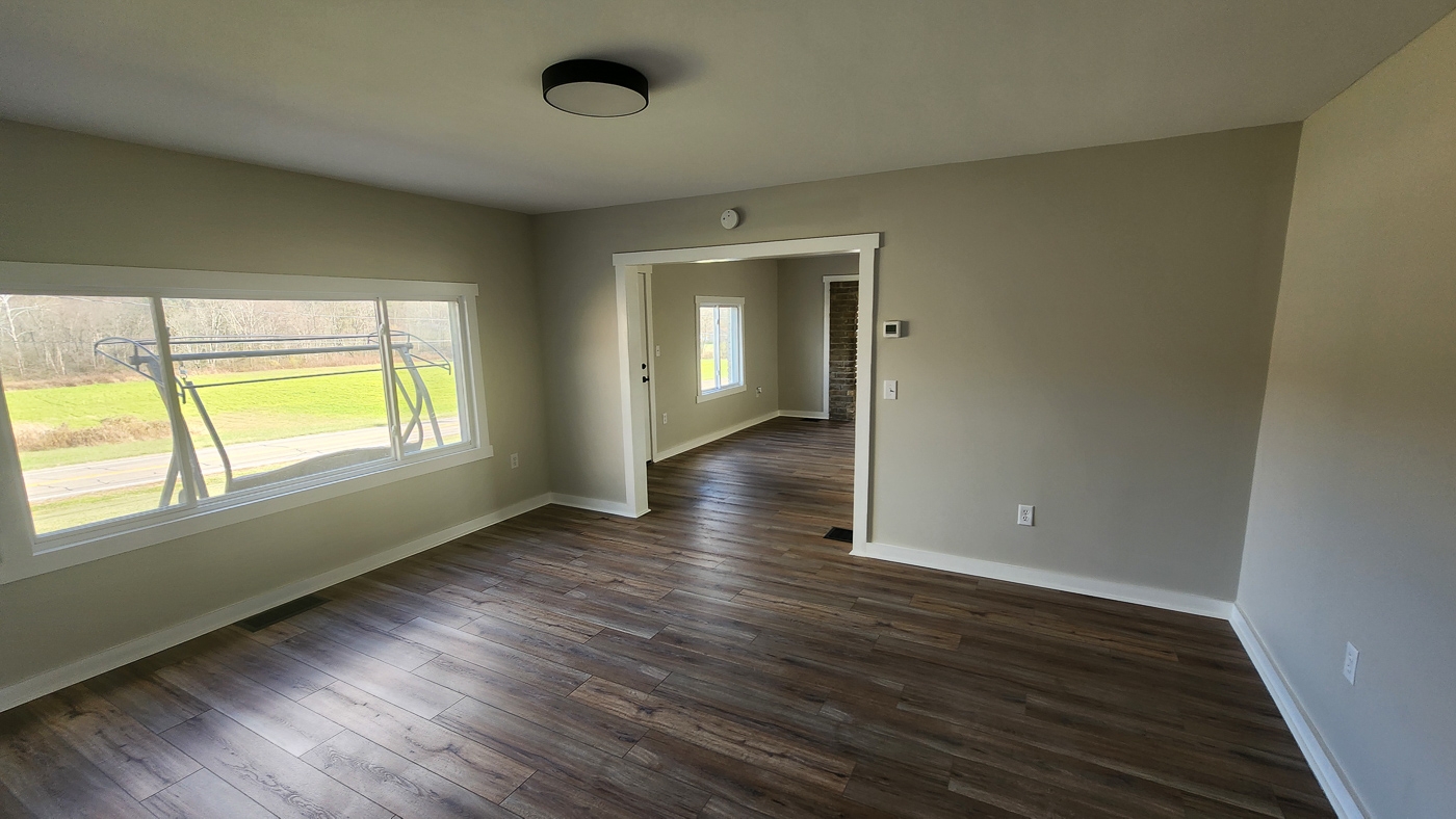
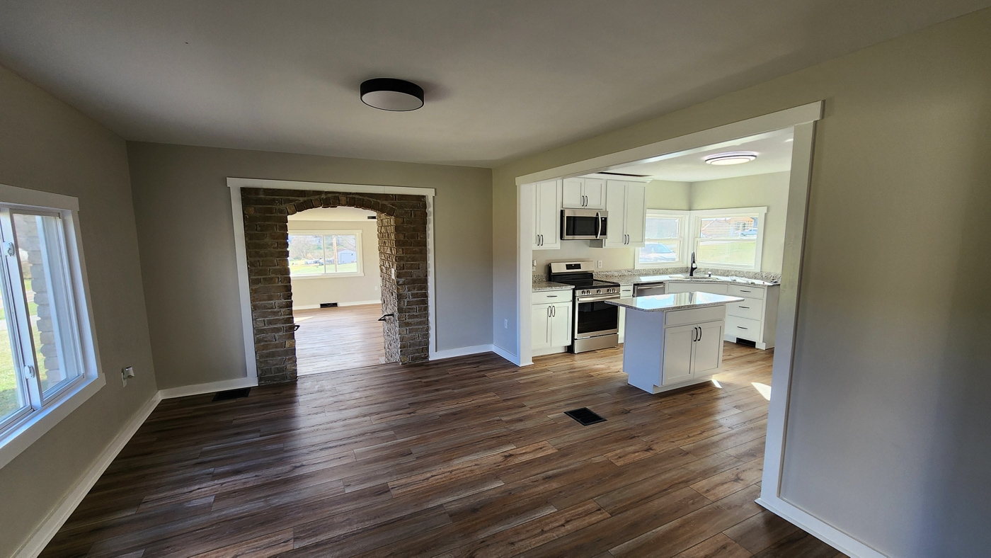
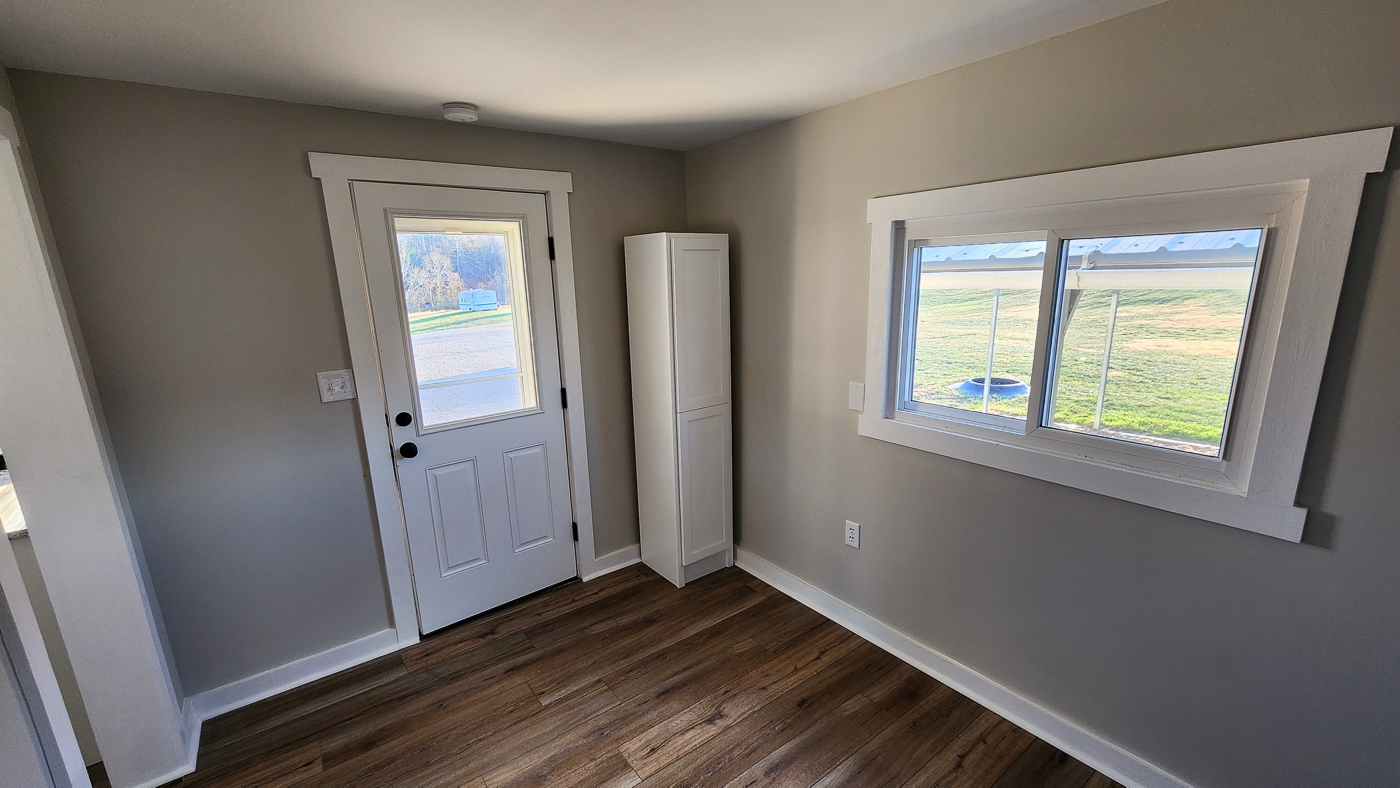
Full House Renovation in 2024
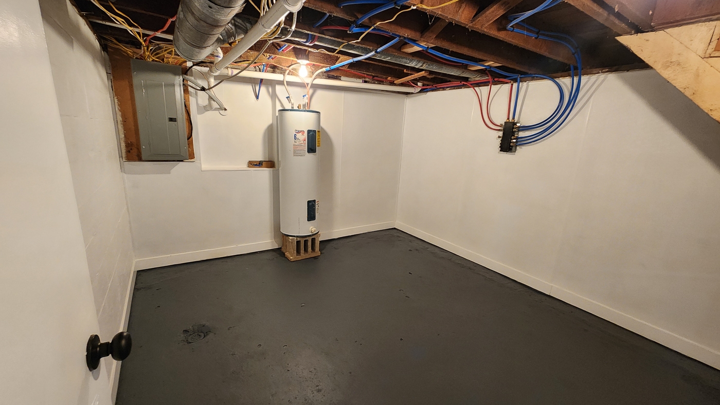
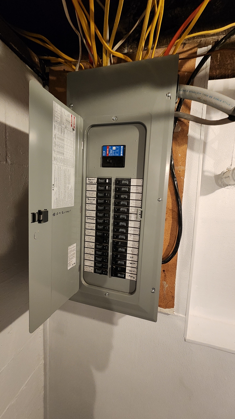
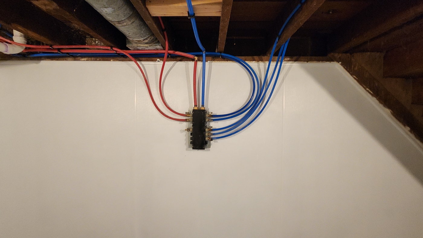
All New Plumbing, Electric, and Full House Insulation
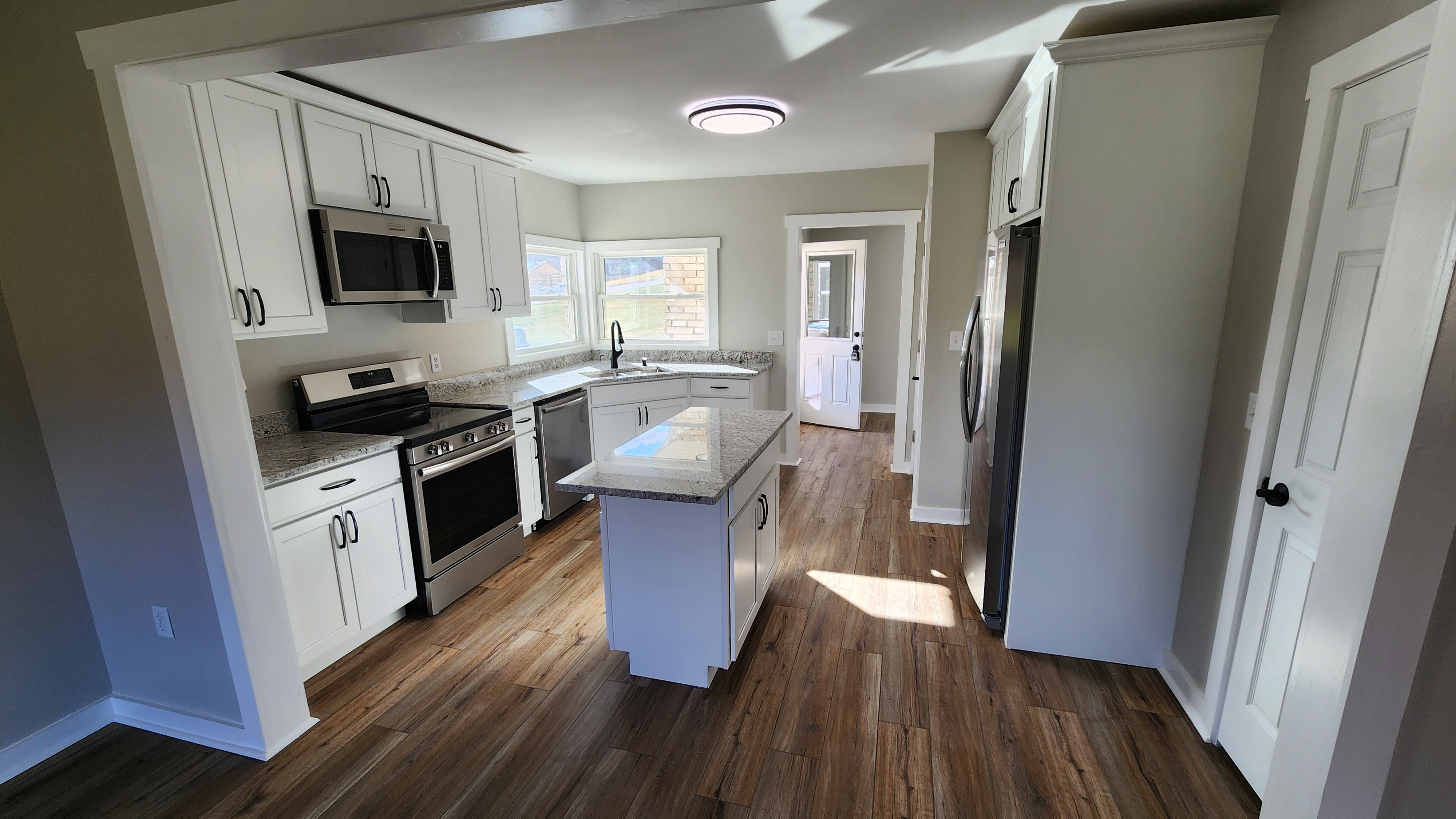
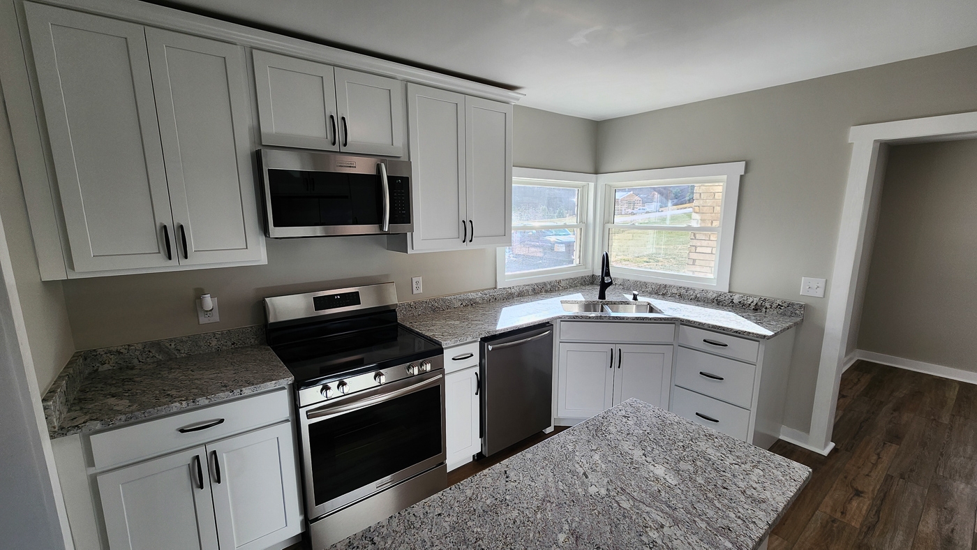
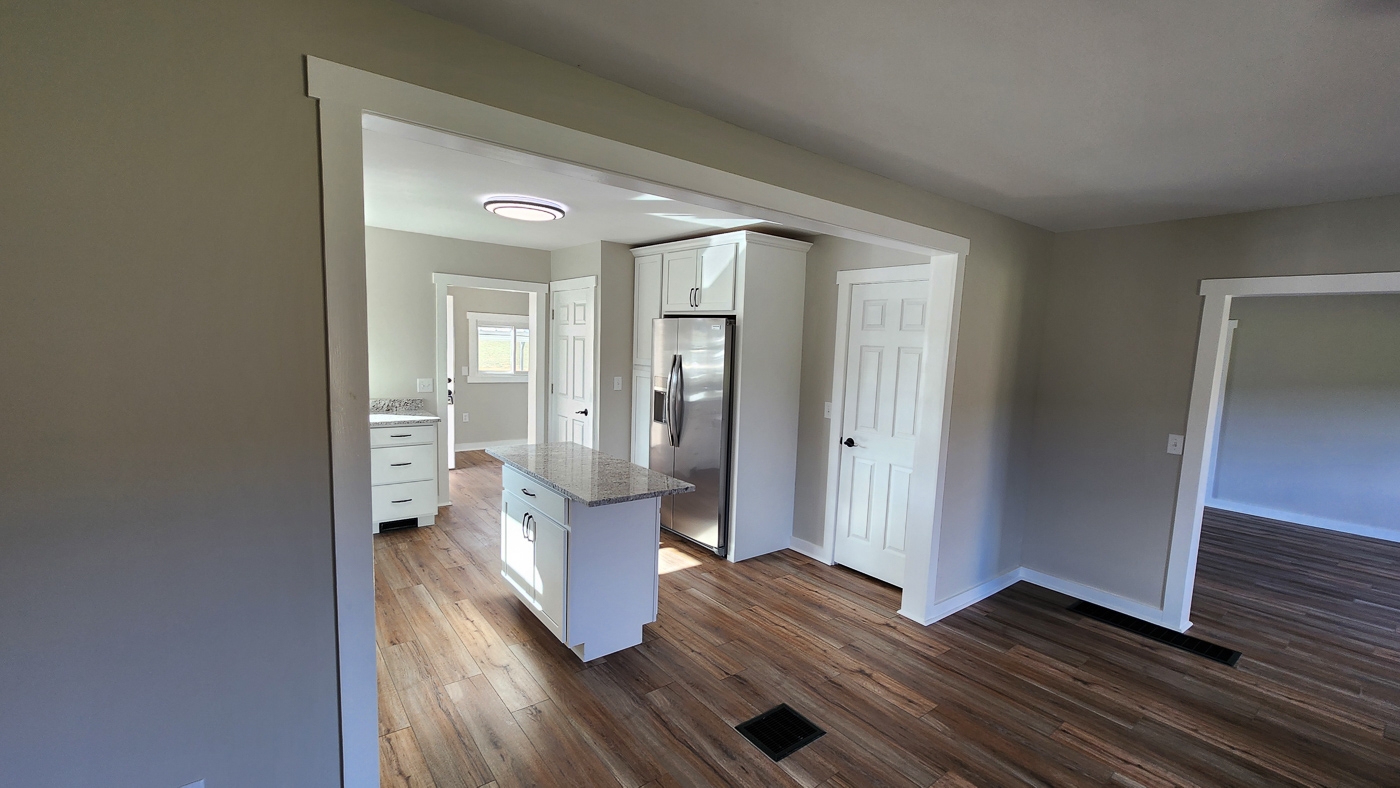
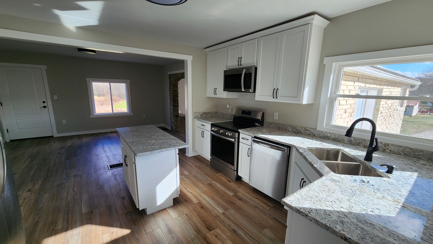
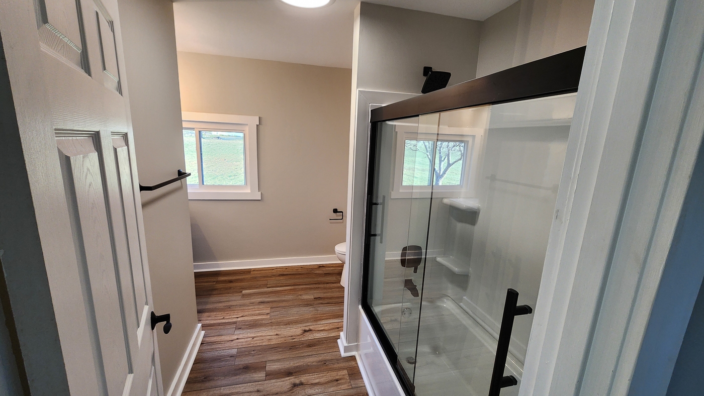
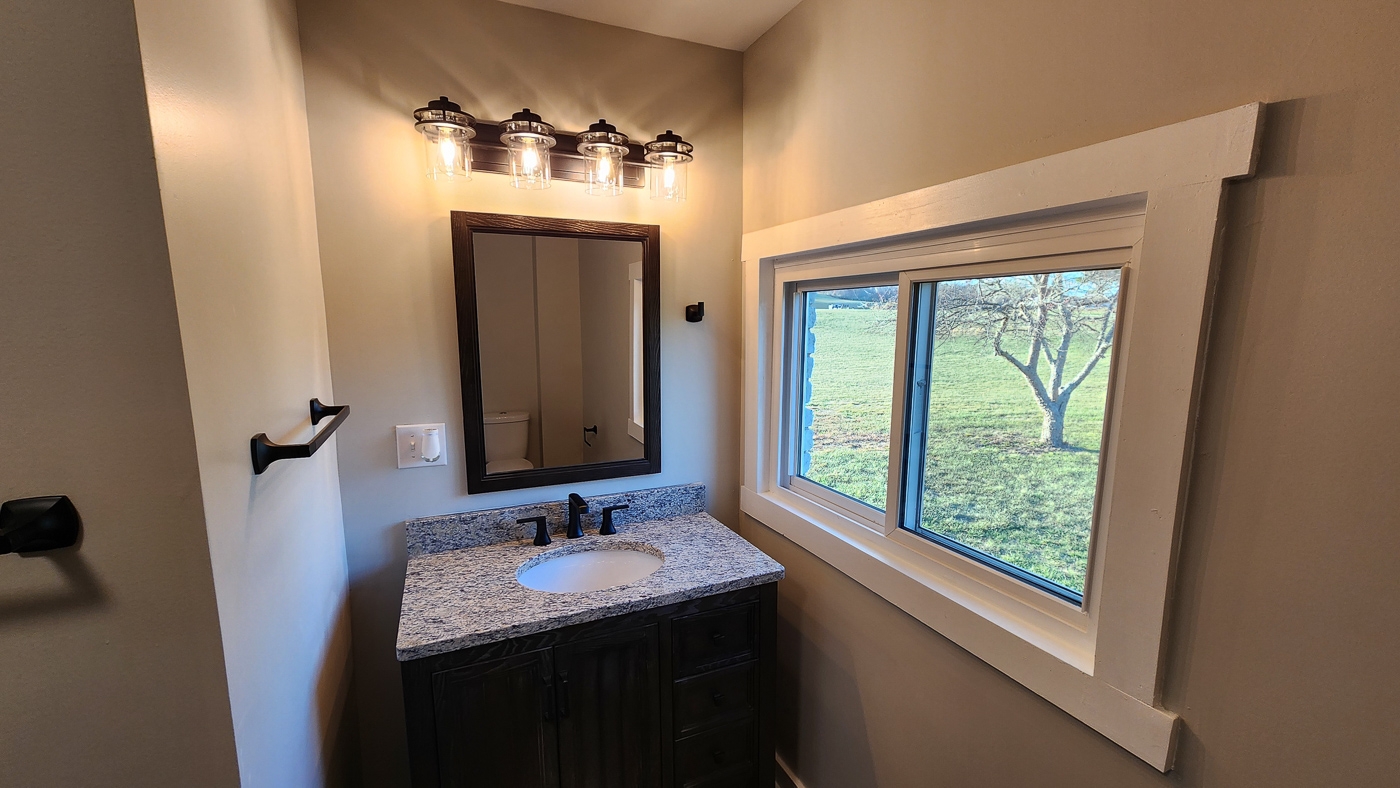
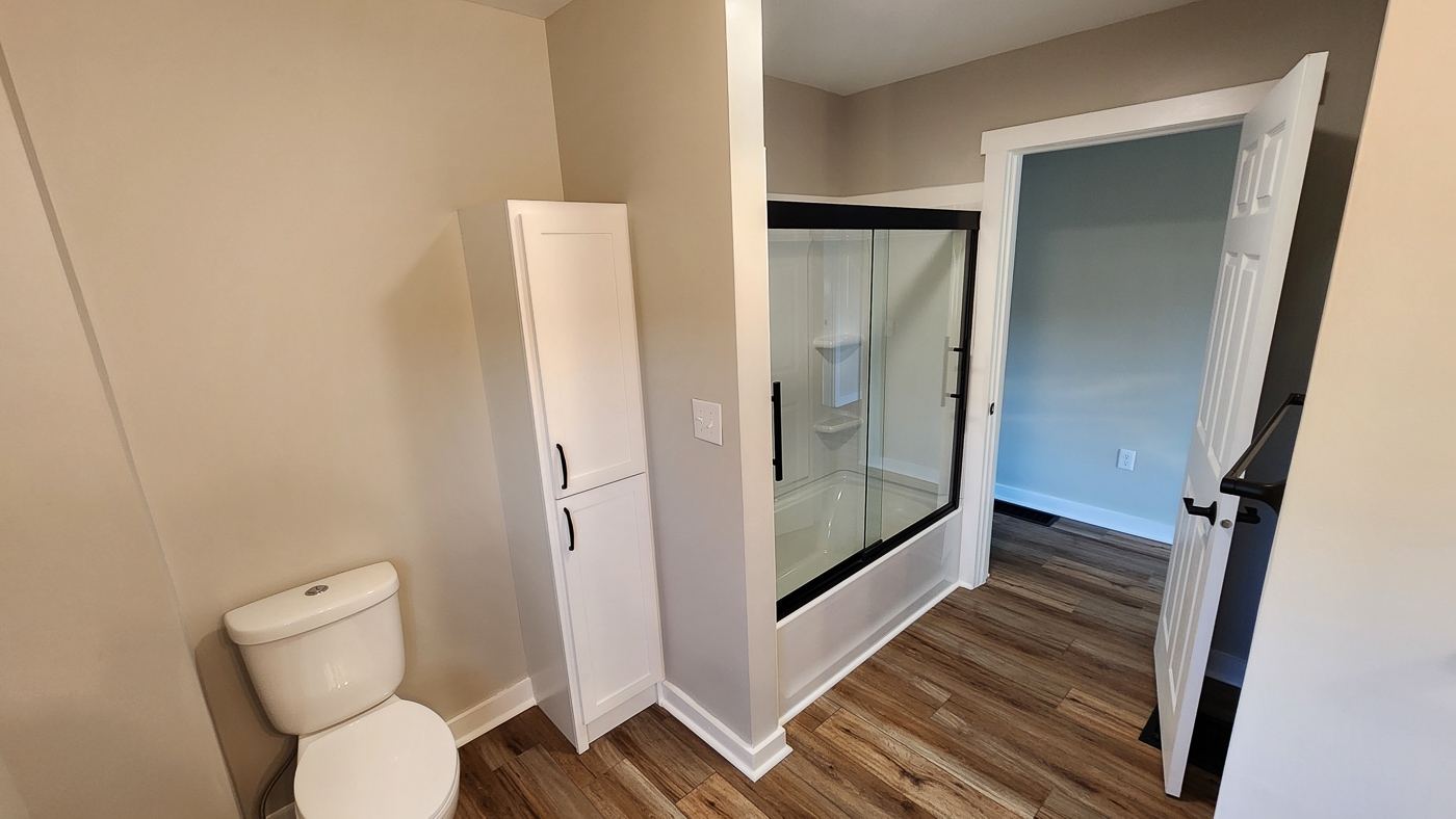
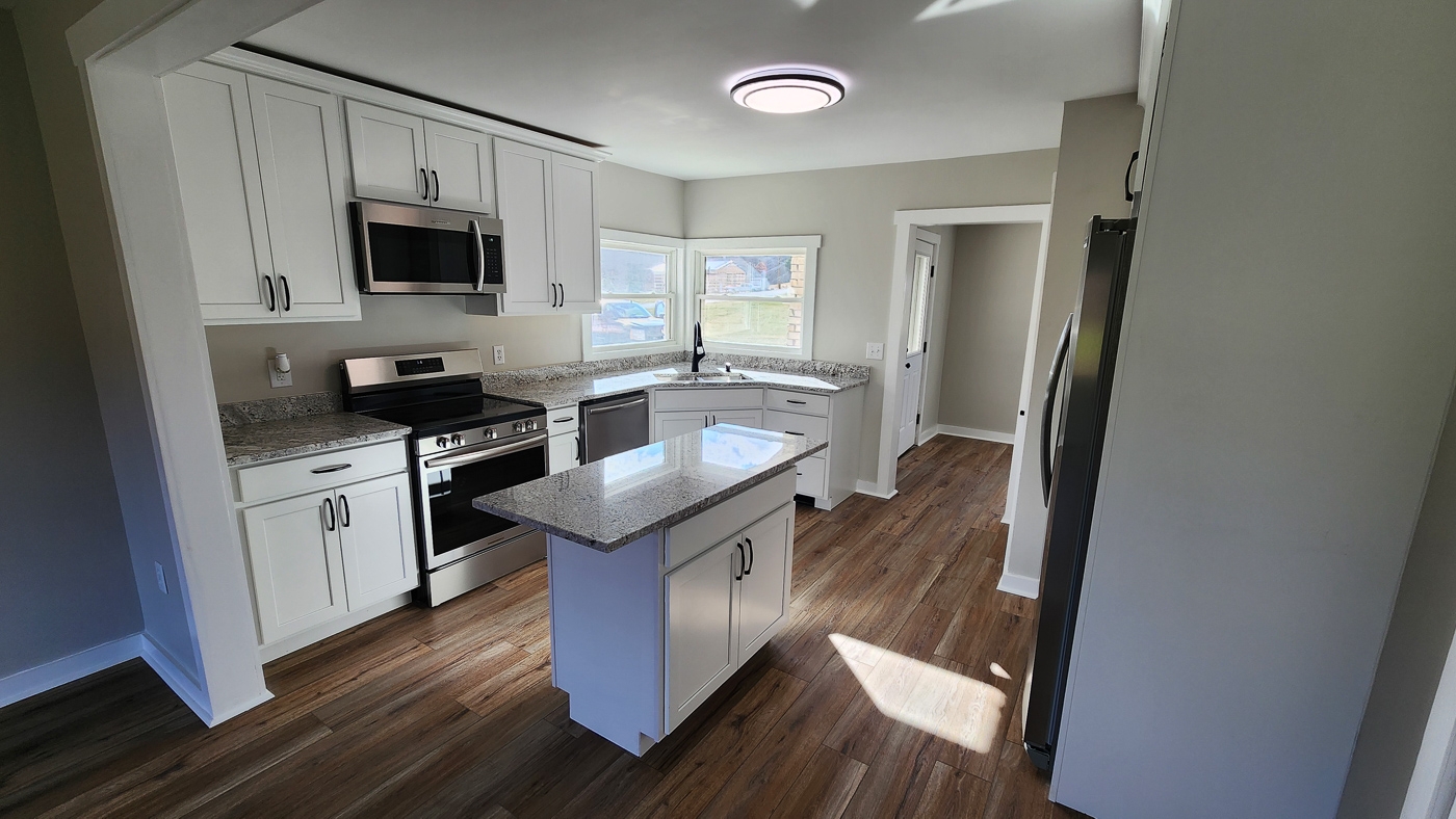
All New Kitchen and Baths with Granite Counter Tops
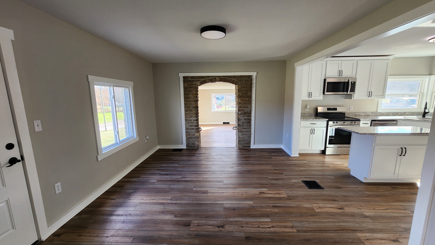
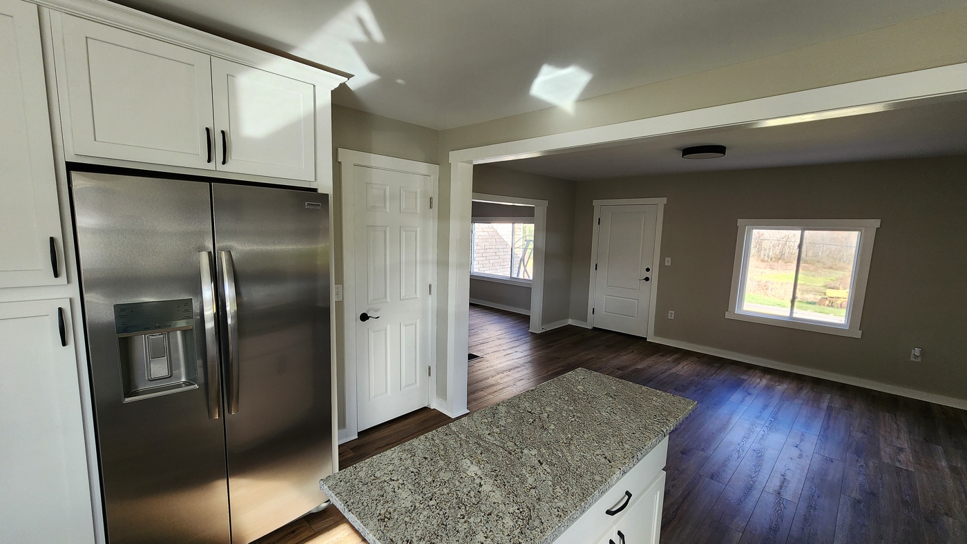
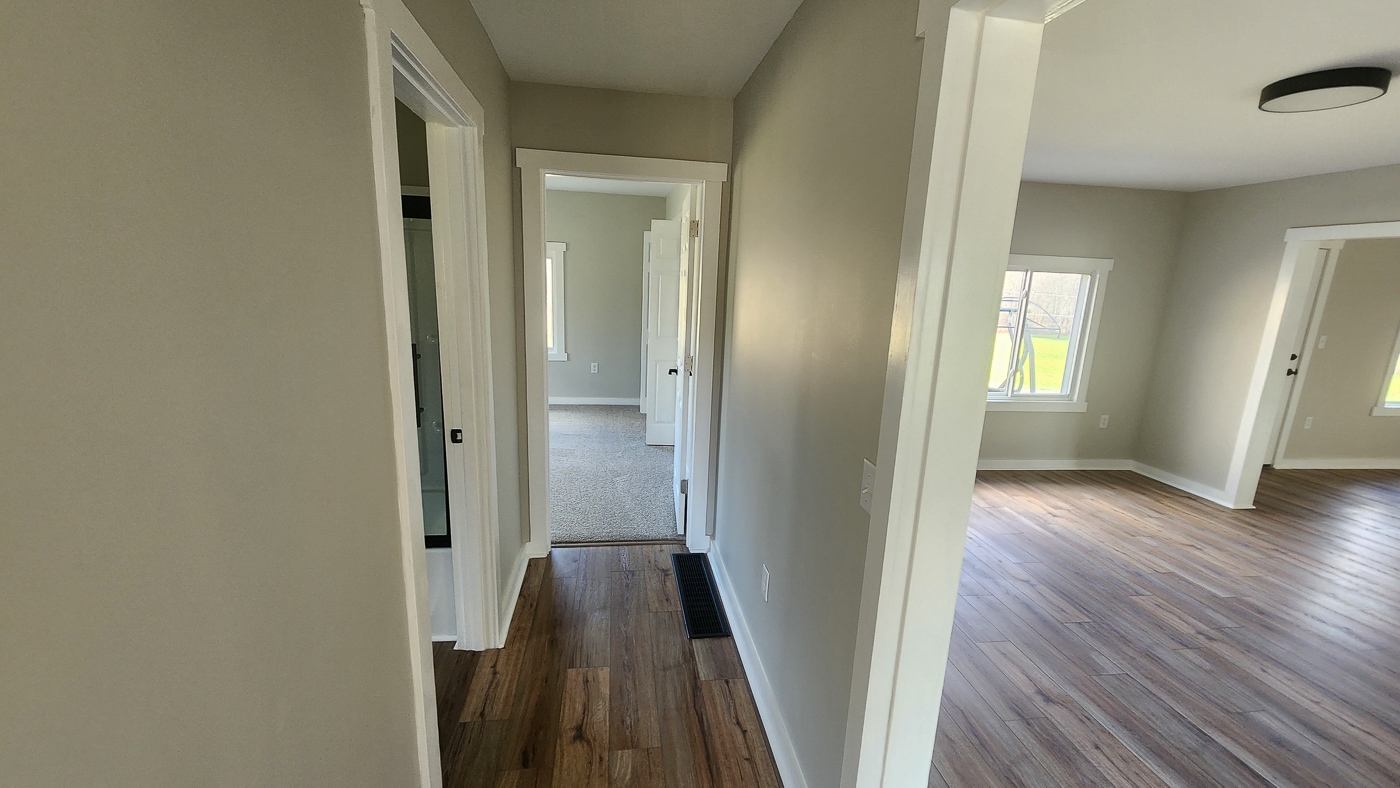
Whole House Luxury Vinyl Plank Flooring
All New Appliances (Range, Fridge, Dishwasher, Microwave, Washer, & Dryer)
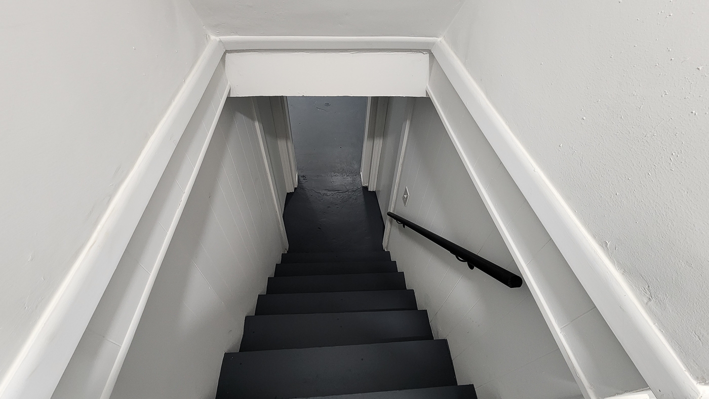
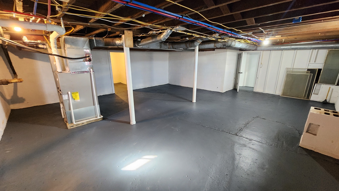
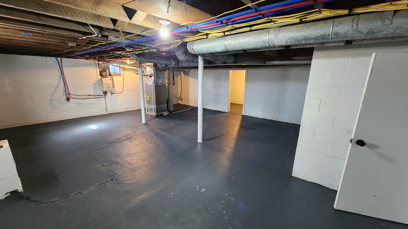
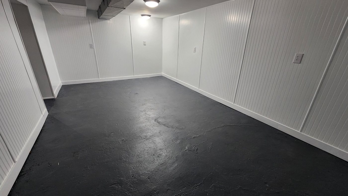
Partially Finished 1,340 sqft Basement
On Demand Gas Water Heater and Electric Water Heater
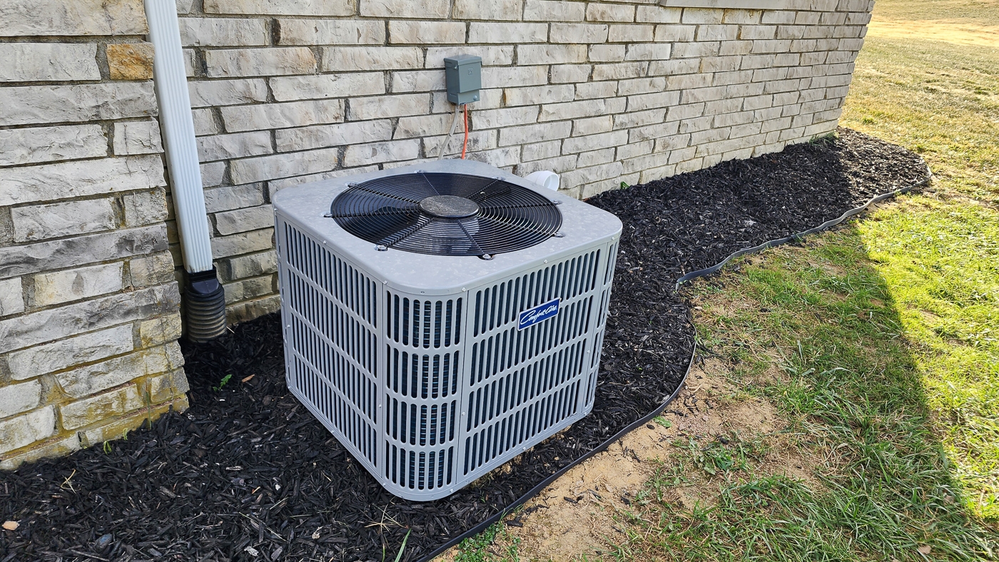
Upgraded HVAC
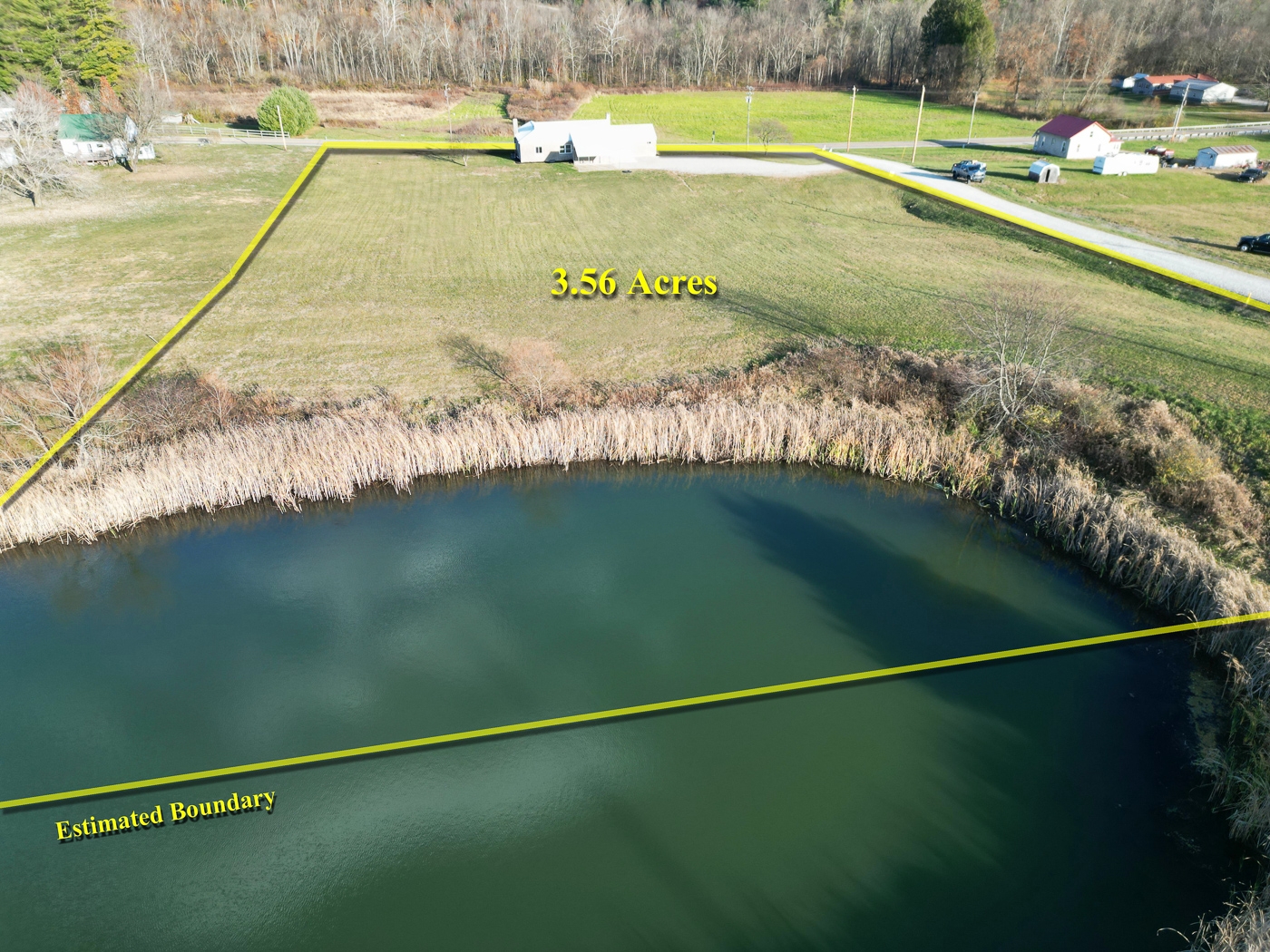
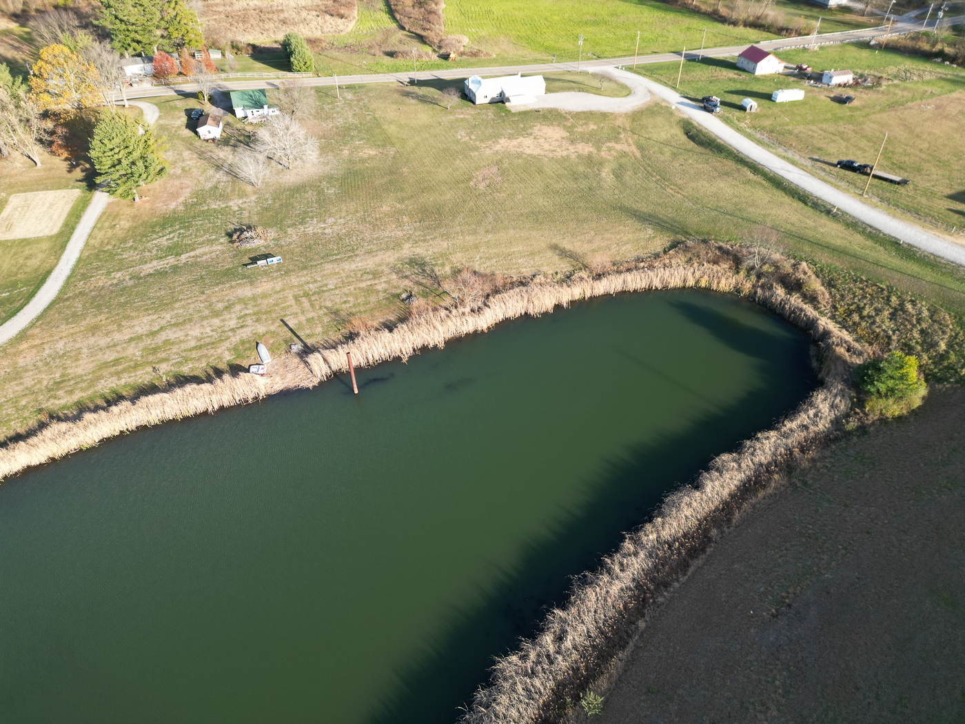
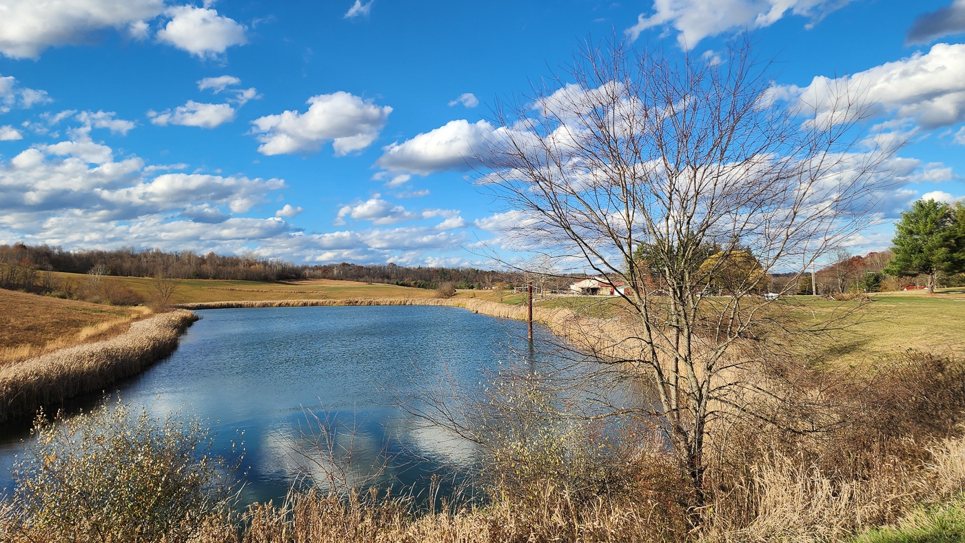
Frontage on 6 Acre Pond
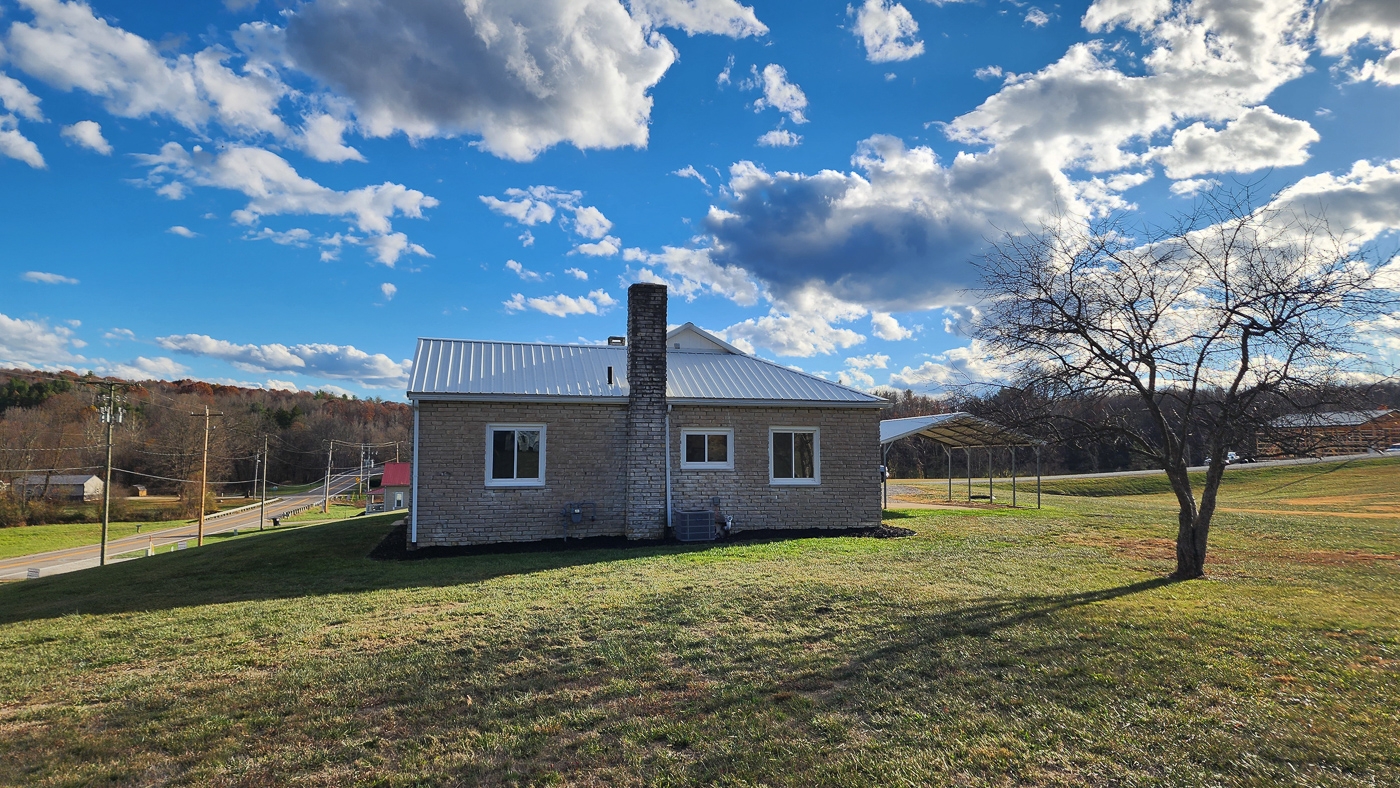
Car Port with Room for Two Cars
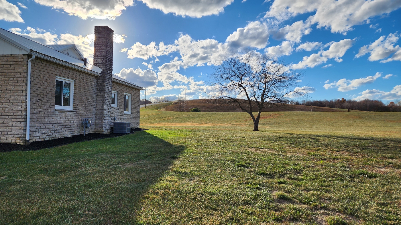
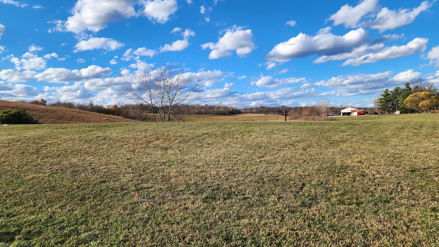
Large Manicured Yard with plenty of space to build and grow with your dreams
Beautiful Remote Country Setting
Large Gravel Driveway with Plenty of Parking
Lot 23 at Scenic View Subdivision, a Deed Restricted Private Development
New Survey – 3.56 Acres
Additional 2.9 Acres Available
No Zoning
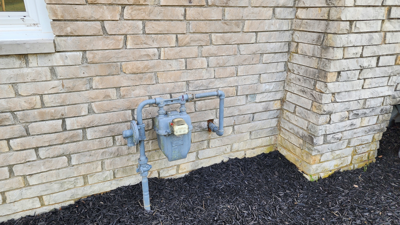
Natural Gas from Maddison Energy
AEP Electric
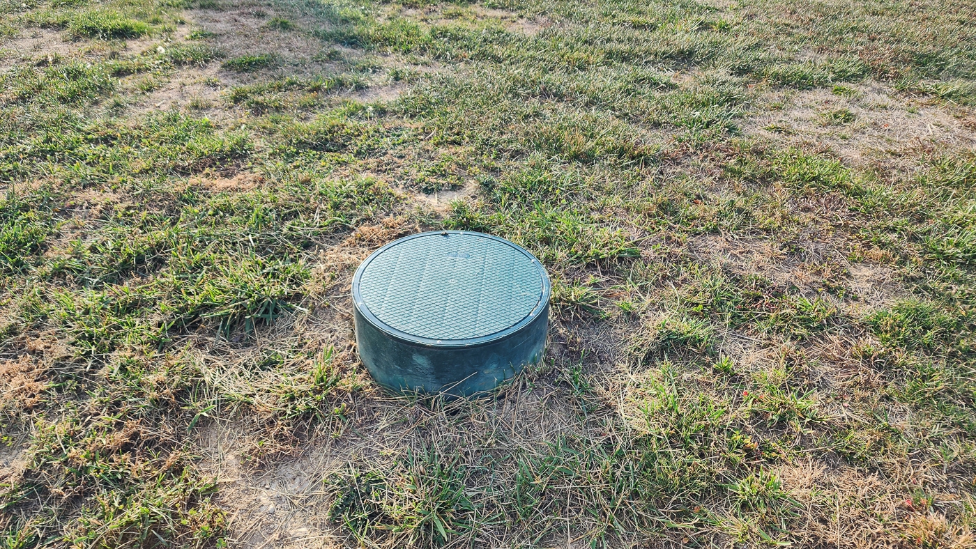
Southern Perry Co Water
Bearfield Township, Perry County
Crooksville Exempted Village School District
Newly Assigned Parcel # 010000220000 5.3 Miles from New Lexington
17 Miles from Zanesville
24 Miles from Logan
53 Miles from Columbus More tracts in Scenic View A Countrytyme advantage
Take the property lines into the field. On your phone, tap Walk property lines , allow your location when asked, and follow the blue dot in Tract Explorer to see your position in relation to the mapped boundary while you explore.
Walk property lines Property photos Show 48 more photos