This property has sold.
The interactive map and property-line walking tools remain available. Driving directions are not provided for sold properties.
Interactive property map
Explore this property map.
Switch aerial, topographic, soil, water, contour, and terrain layers while the mapped project boundary stays visible.
Property Documents
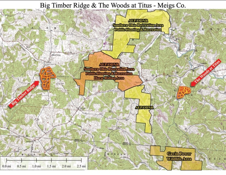
- Big Timber Ridge & The Woods at Titus - Location.pdf
- Big Timber Ridge - Aerial (12-12-24).pdf
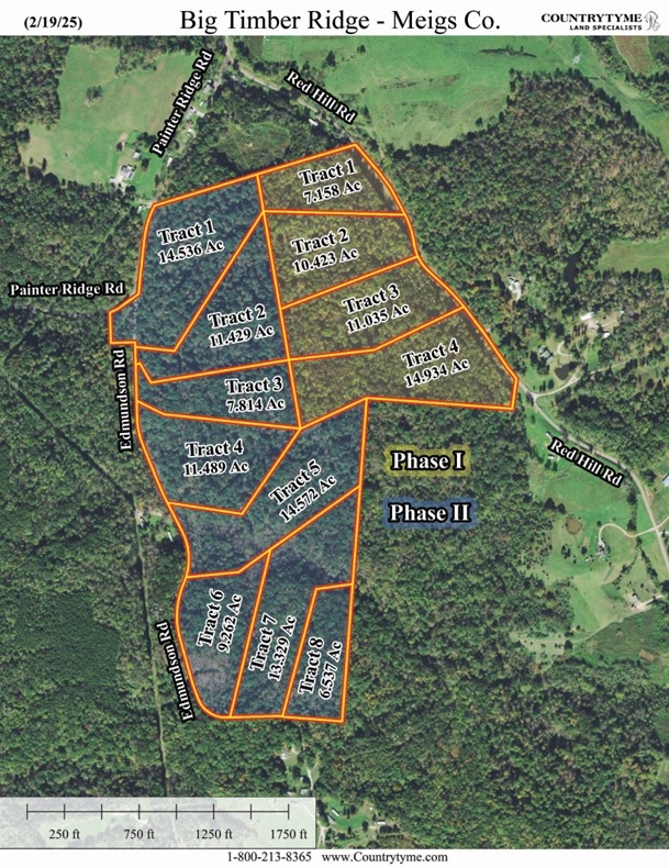
- Big Timber Ridge - ALL PHASES - Aerial (1-30-25).pdf
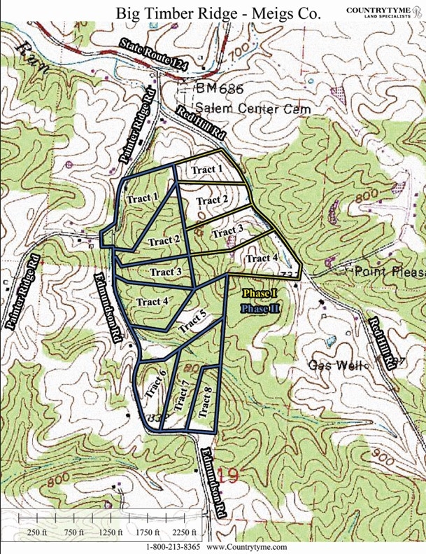
- Big Timber Ridge - ALL PHASES - Topo.pdf
- Big Timber Ridge - All Phases KML.kml
- Big Timber Ridge - Survey (PHASE 1).pdf
- Big Timber Ridge - Survey (PHASE 2).pdf
- Big Timber Ridge Covenants and Restrictions (Phase I & II).pdf
- Big Timber Ridge DRAFT Covenants and Restrictions.pdf
Property Description
Big Timber Ridge - Phase II Tract 69.262 Ac Home/Cabin Site or Recreational Retreat
Edmundson Rd, Salem Twp, Meigs Co, Ohio
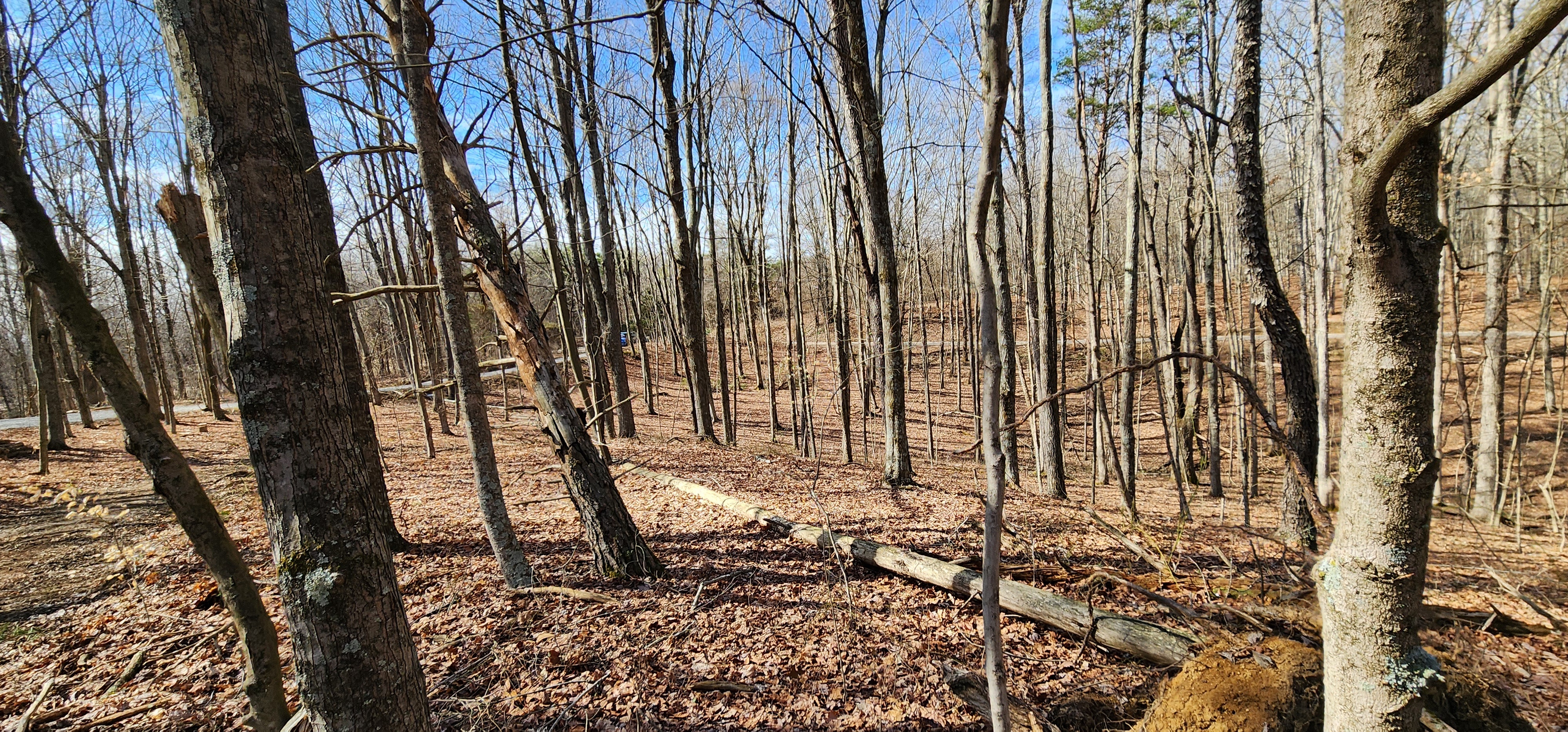
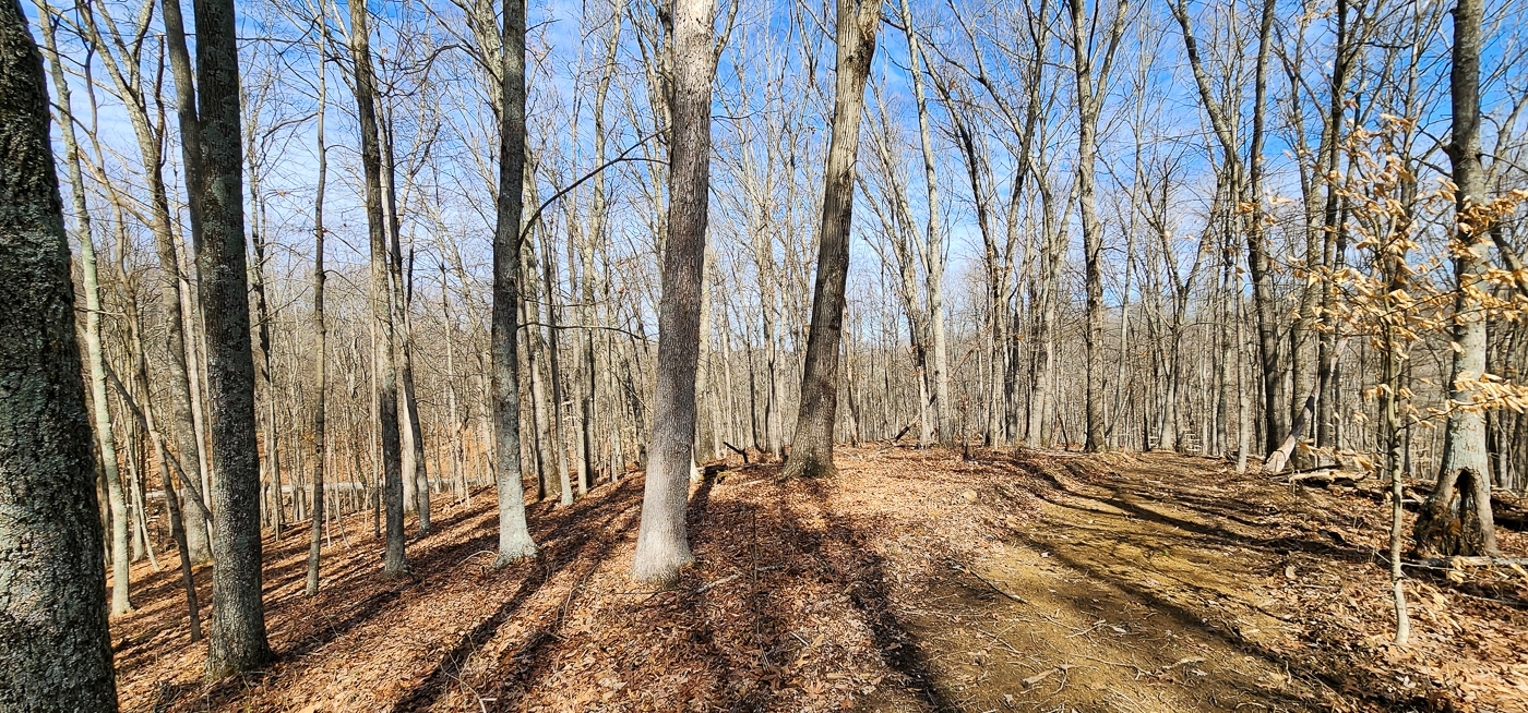
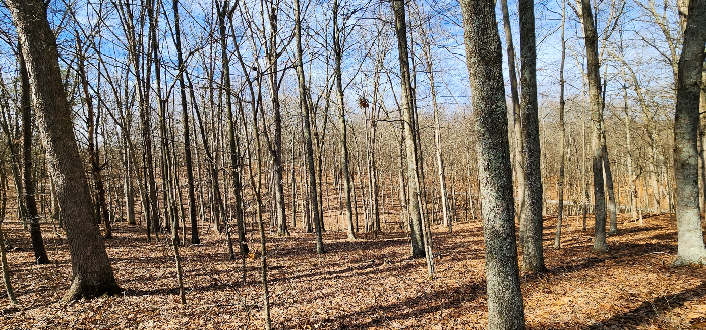
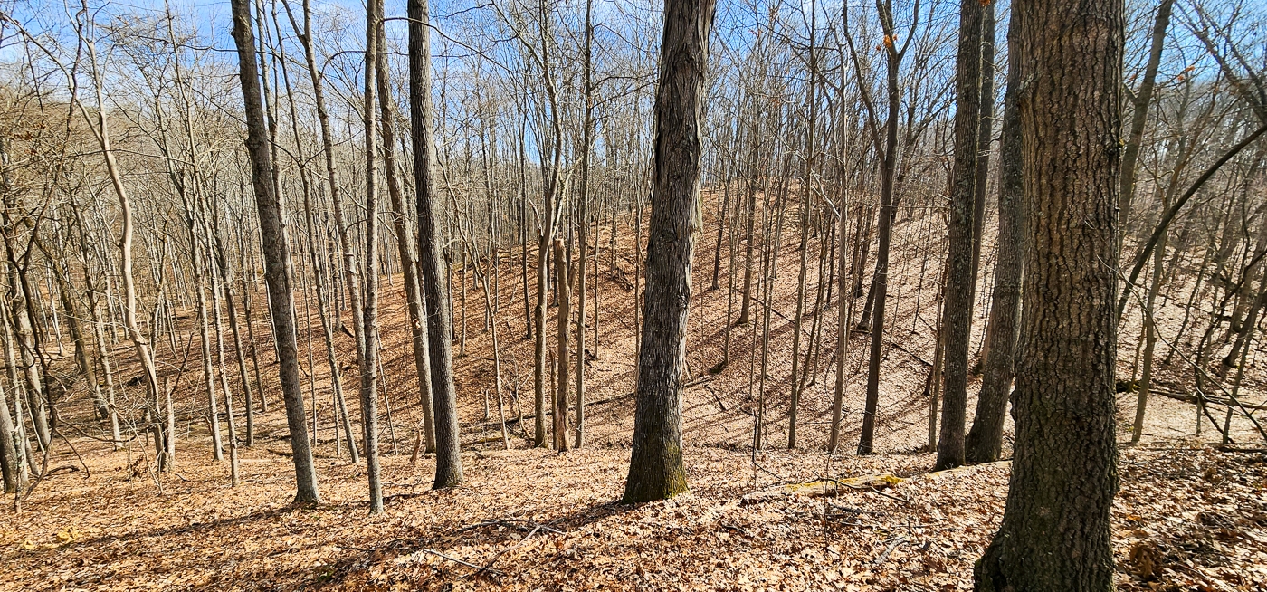
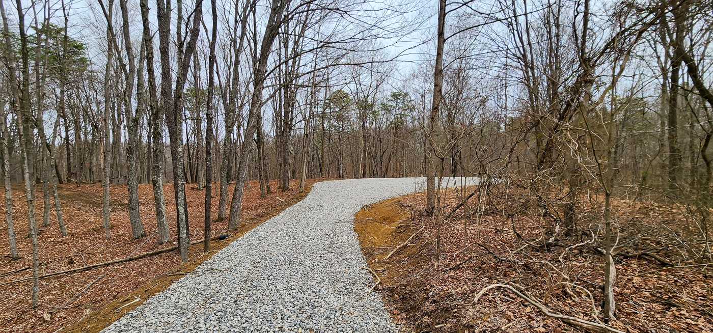
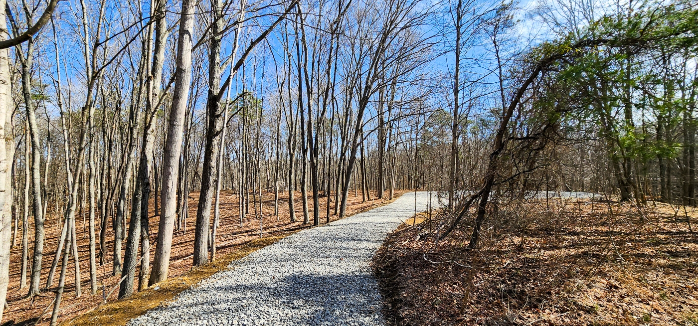
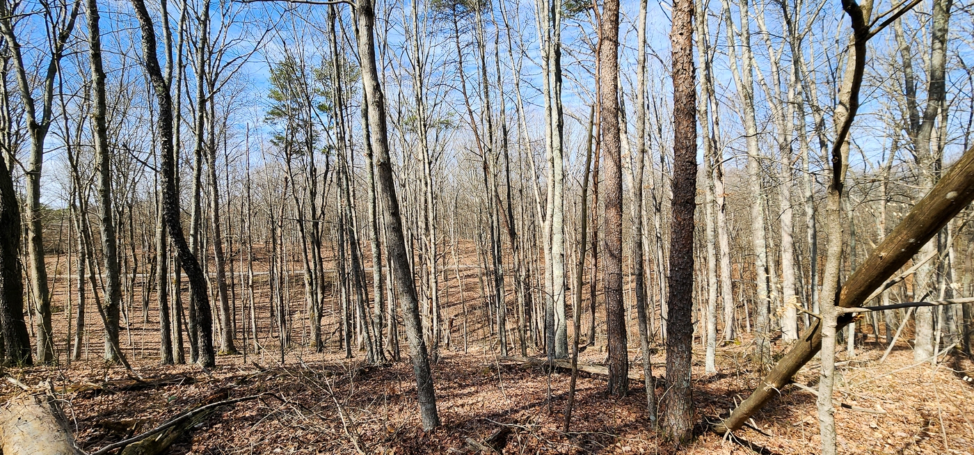
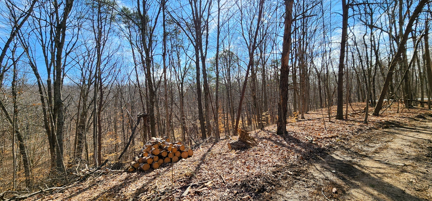
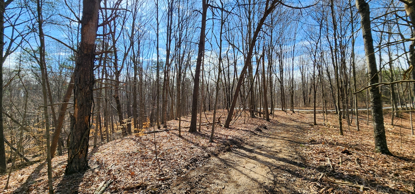
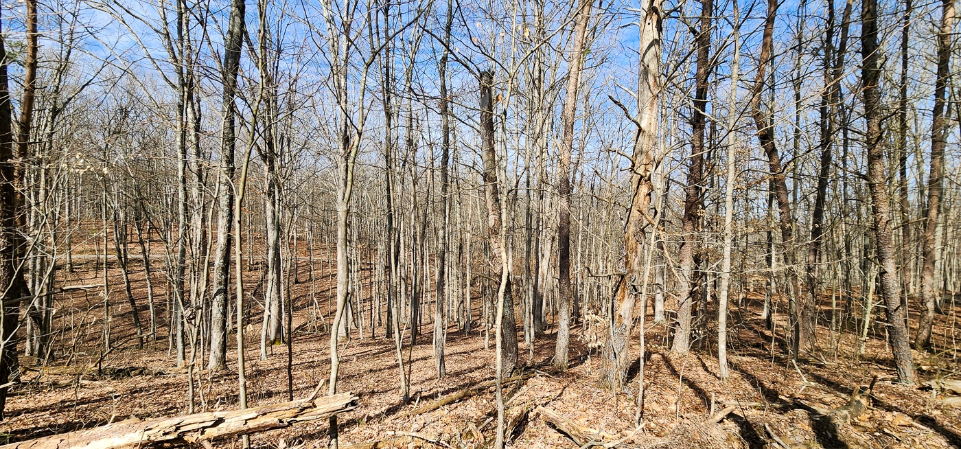
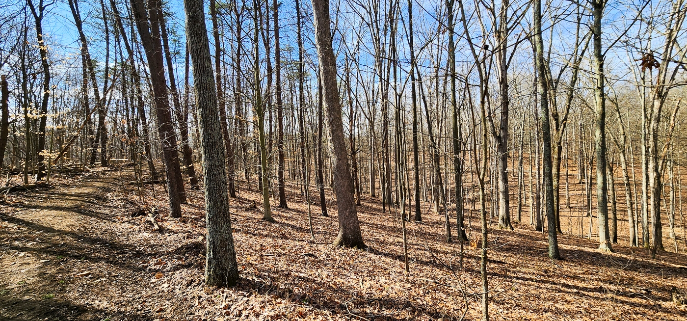
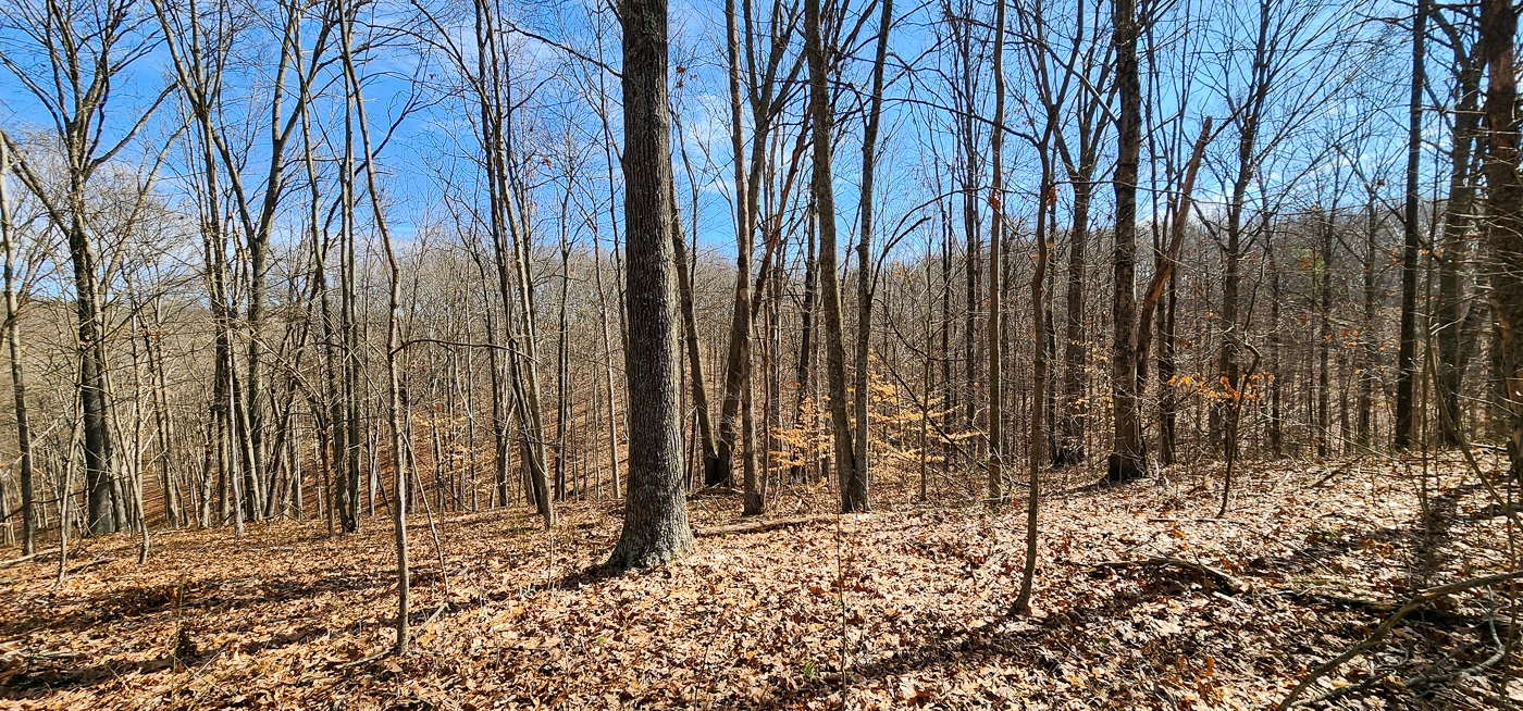
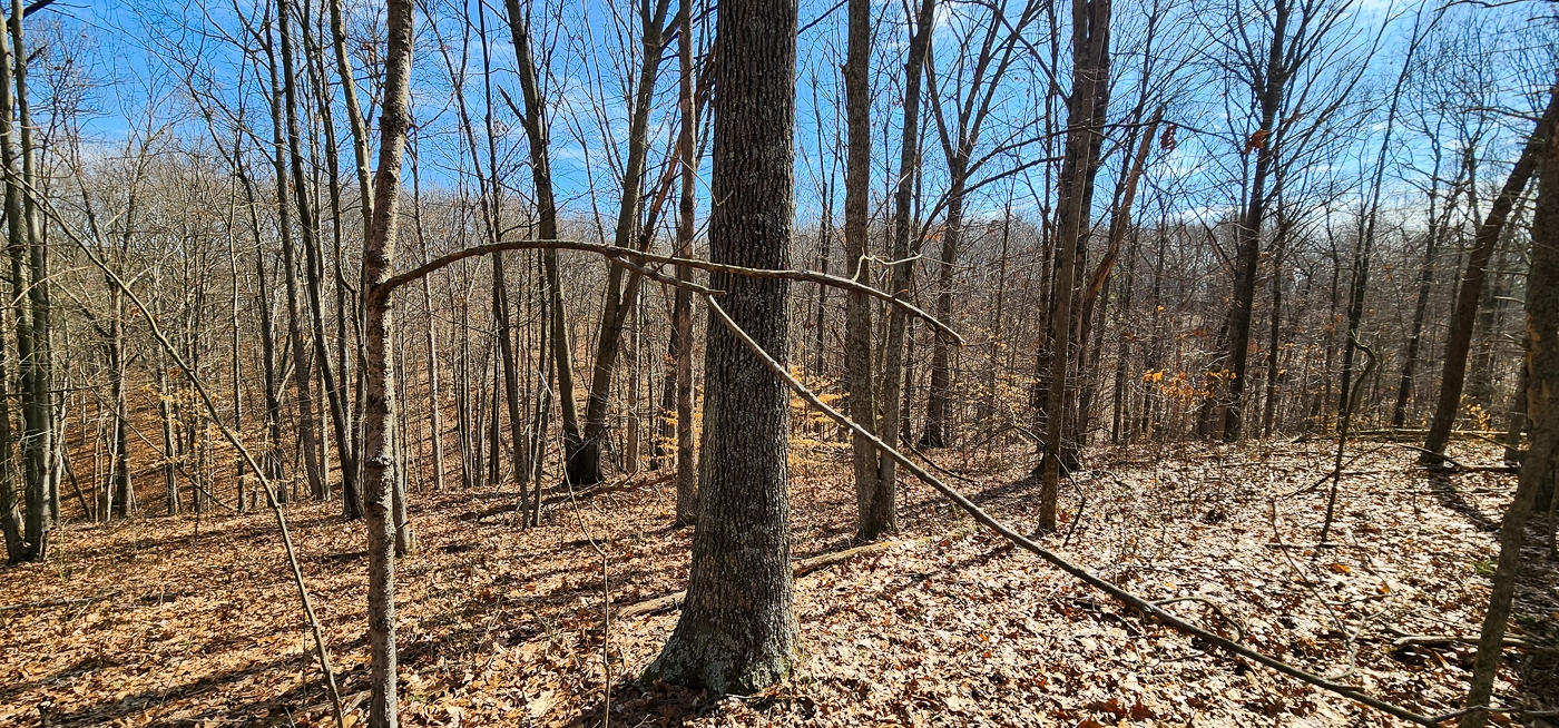
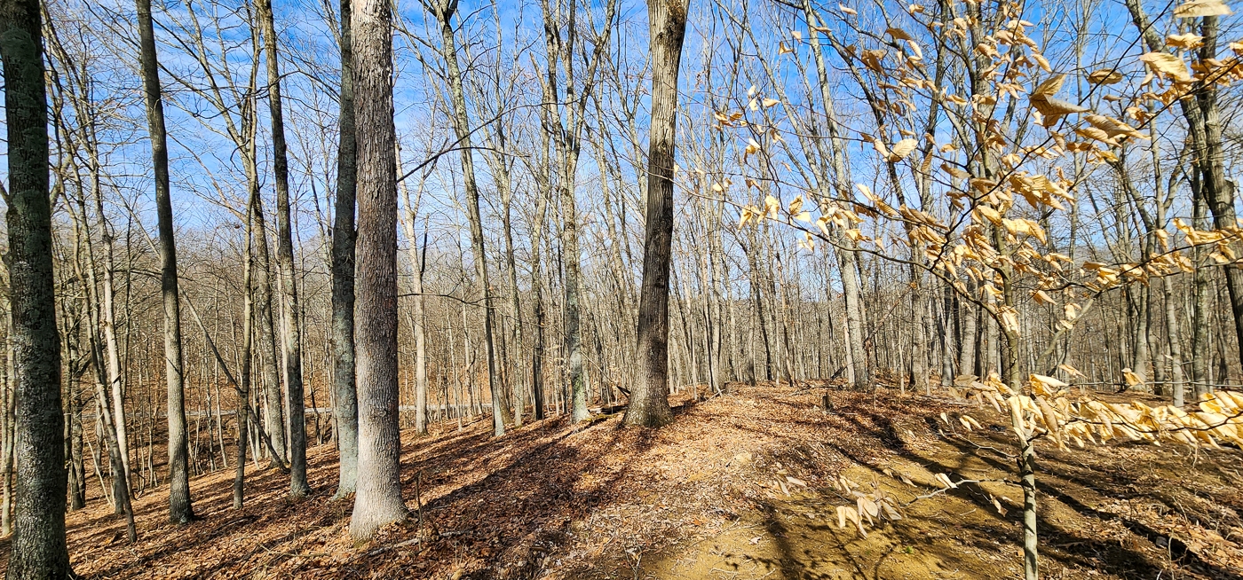
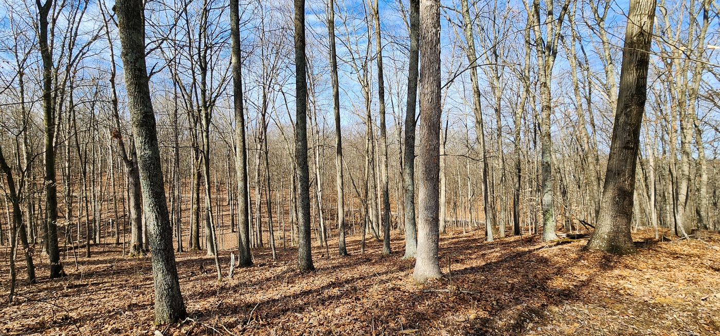
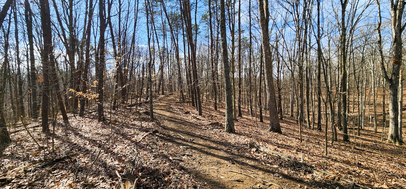
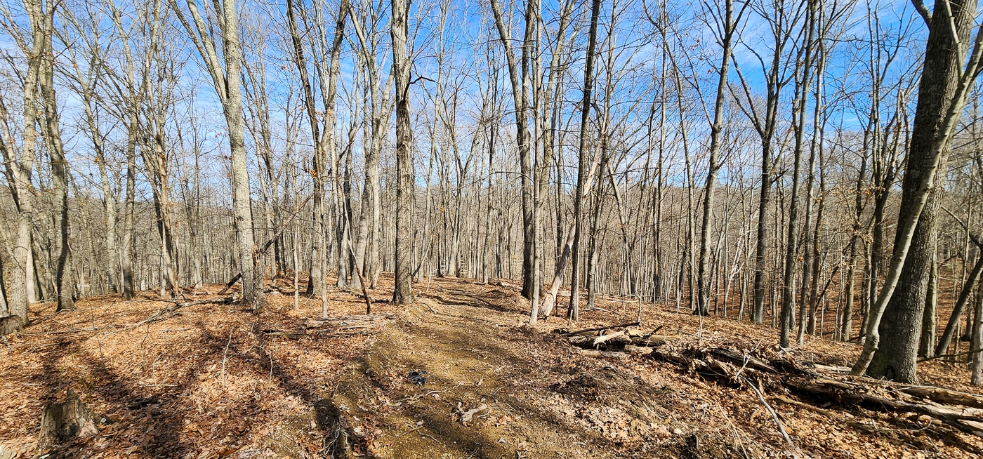
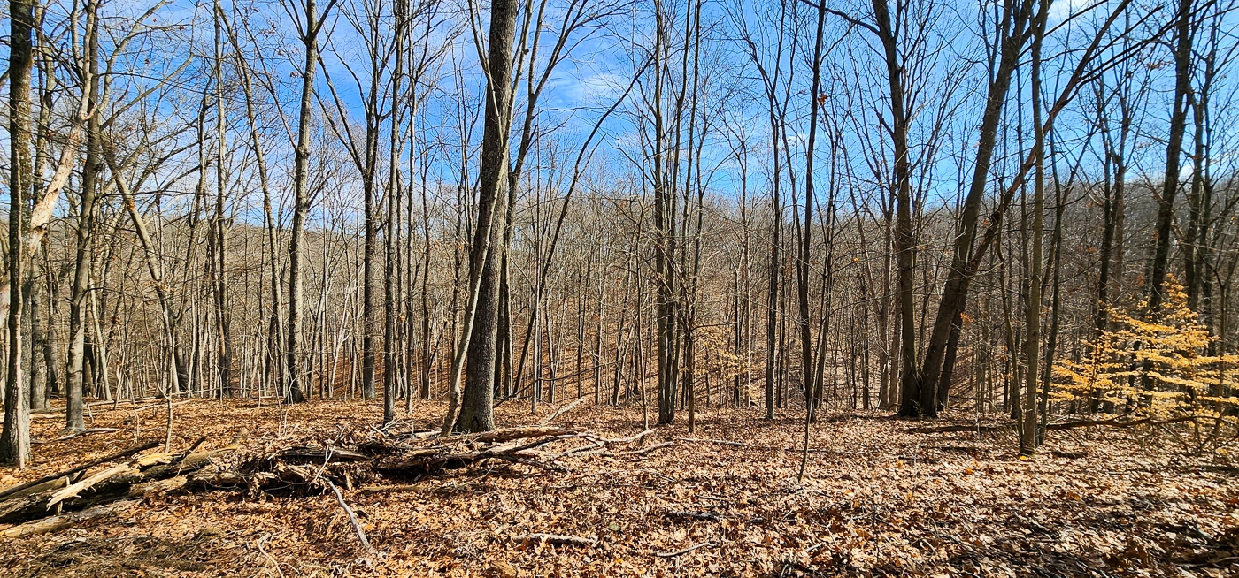
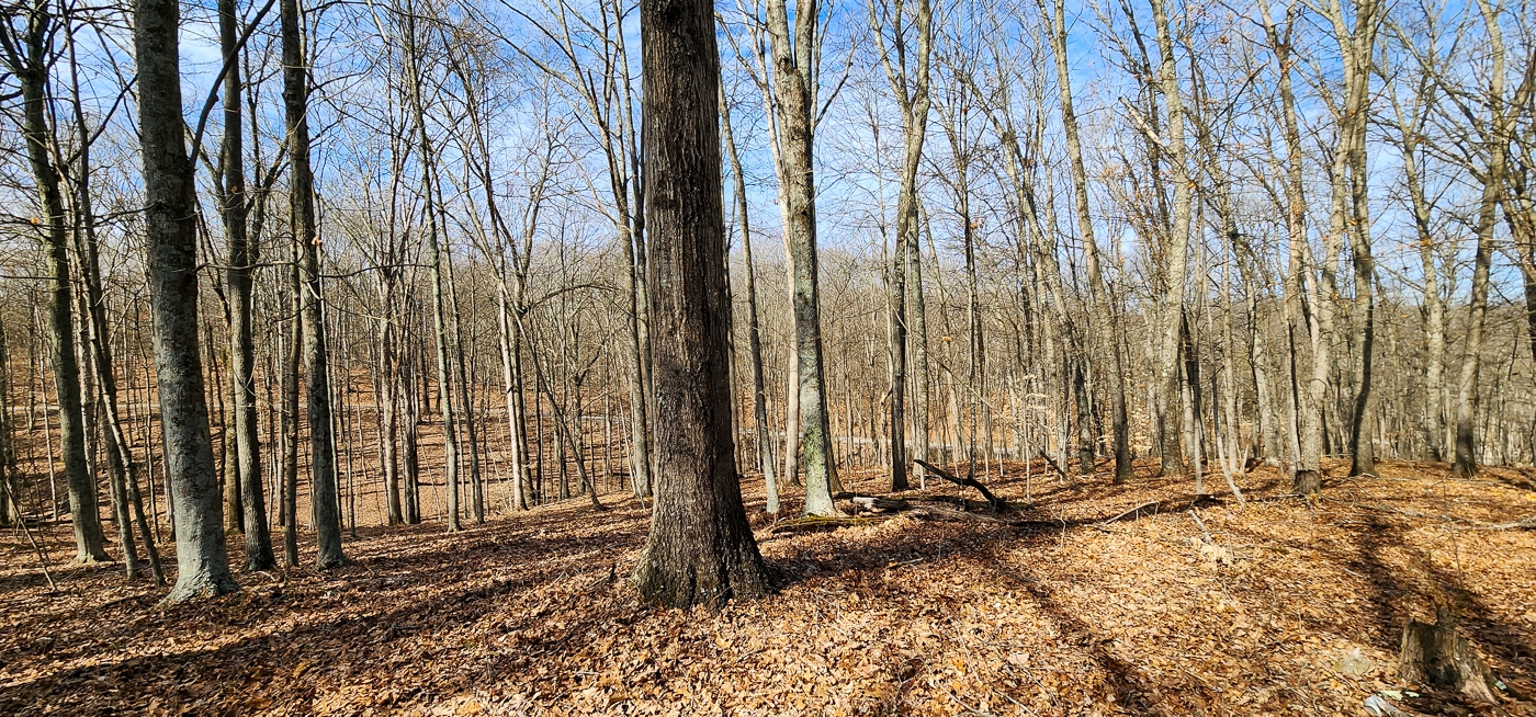
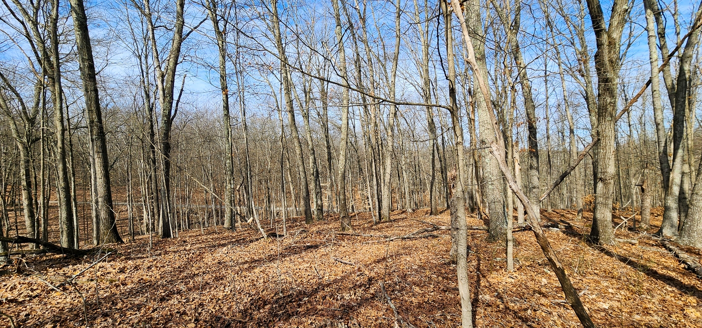
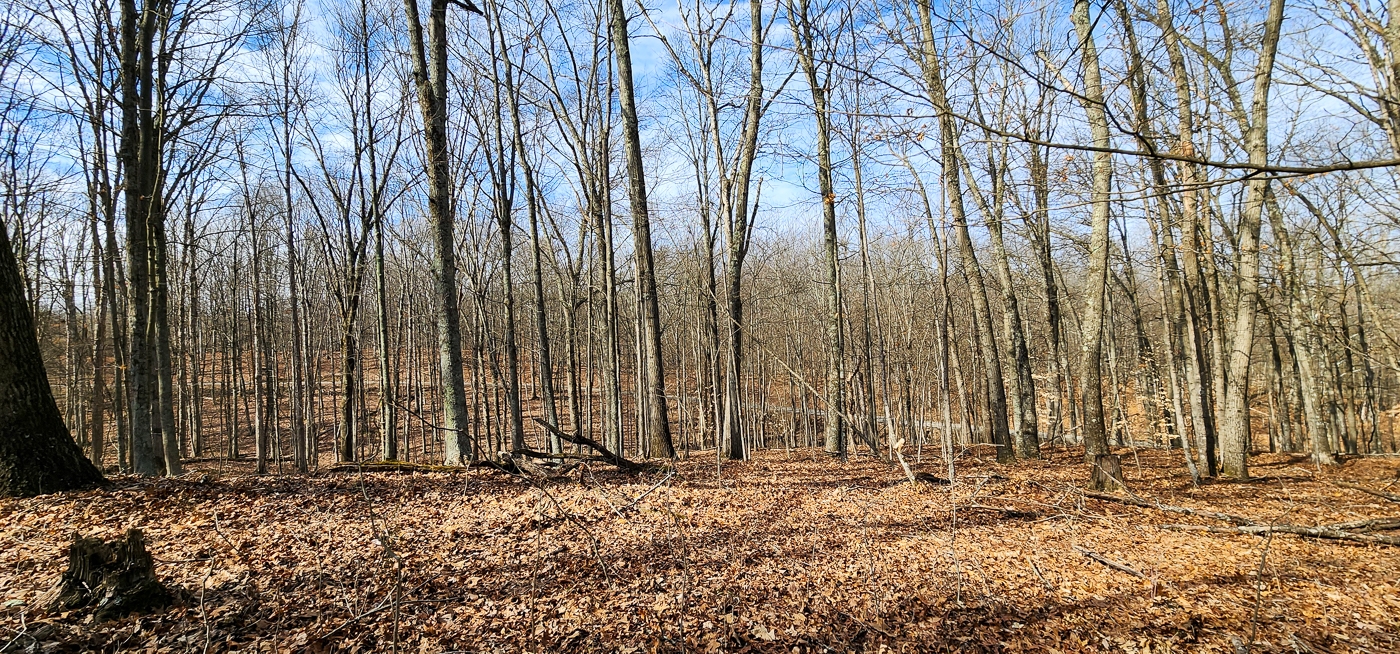
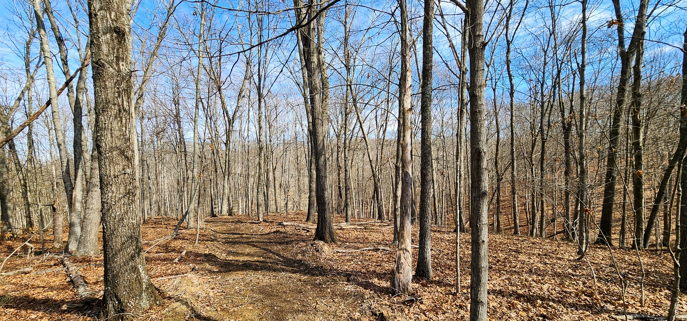
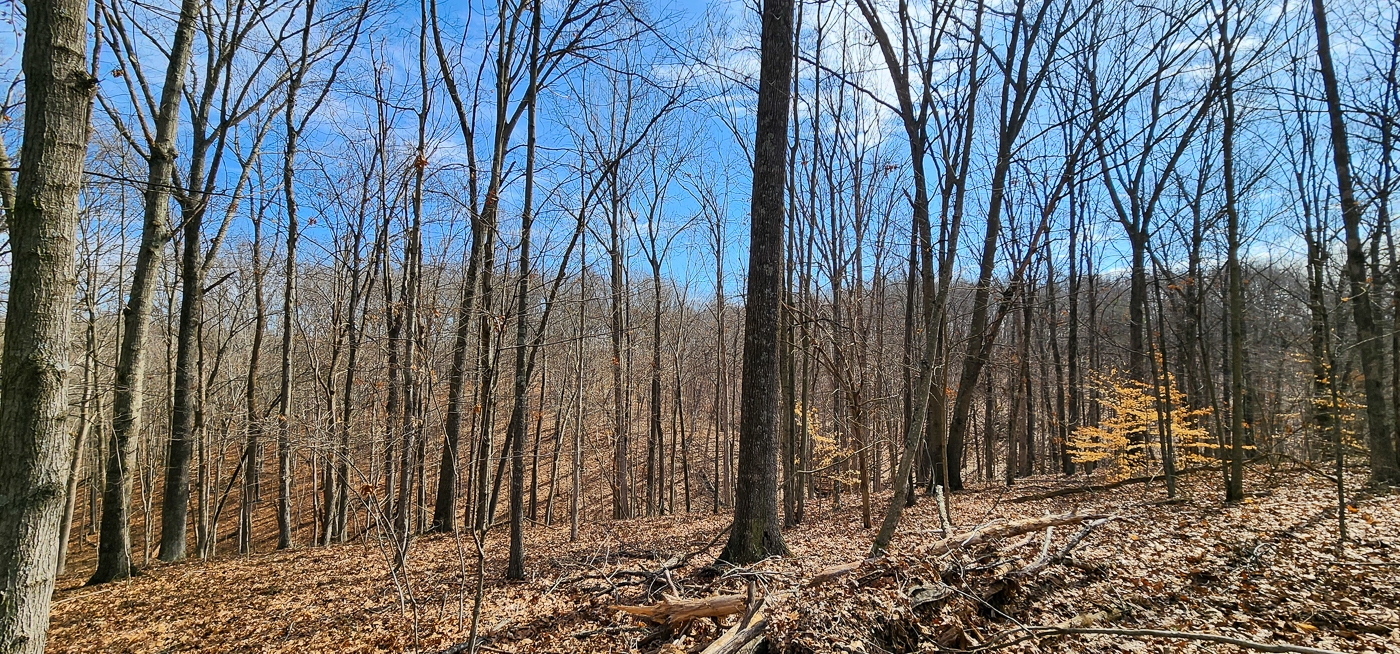
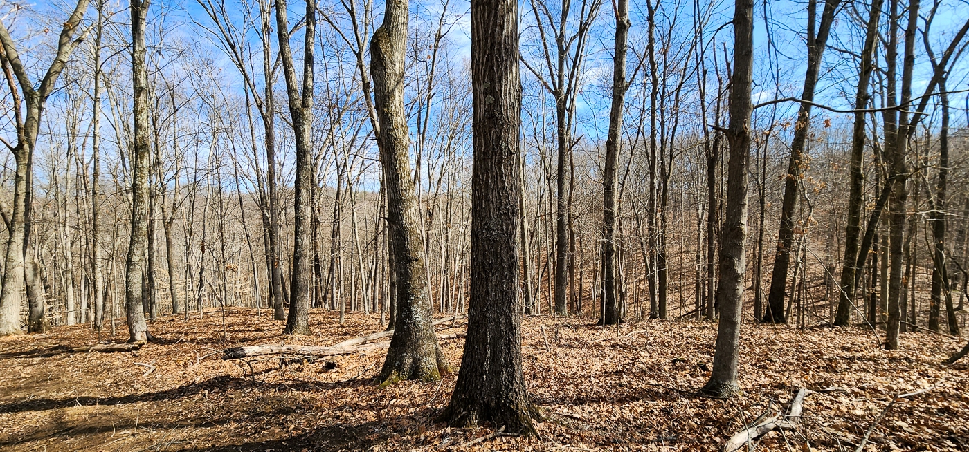
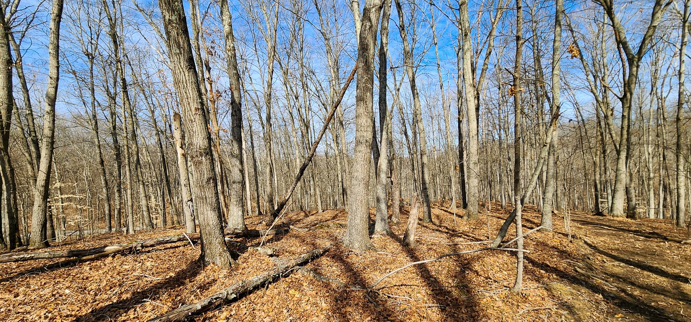
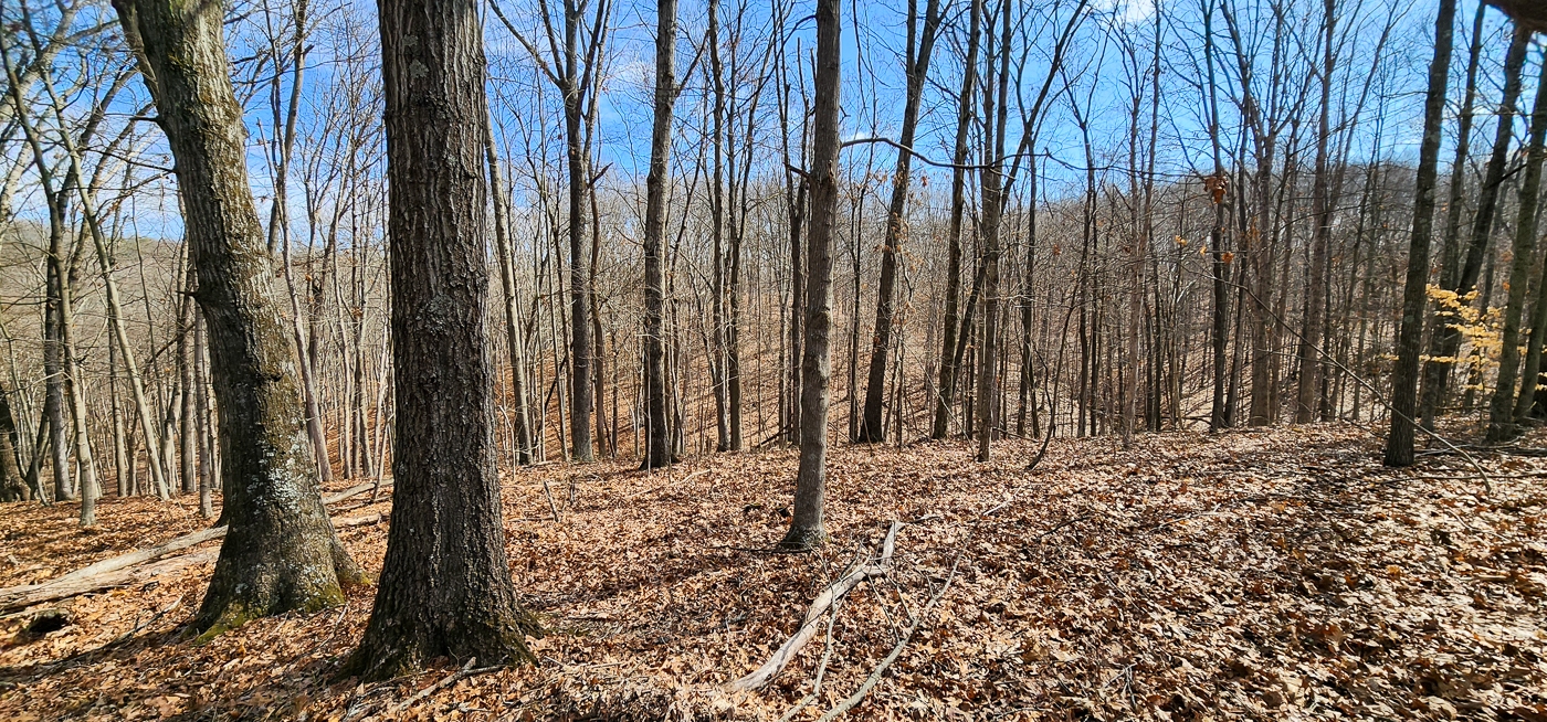
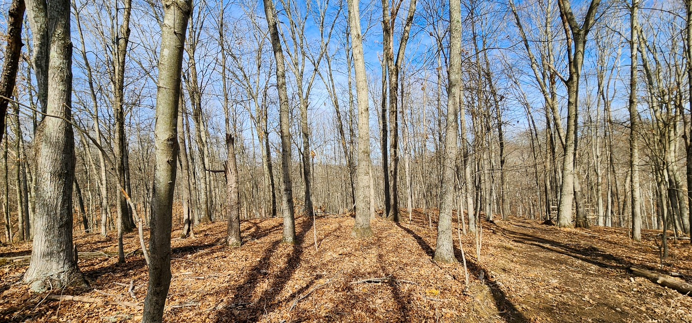
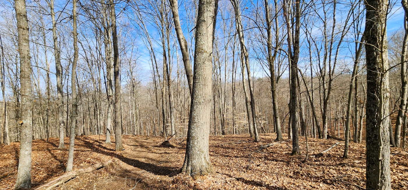
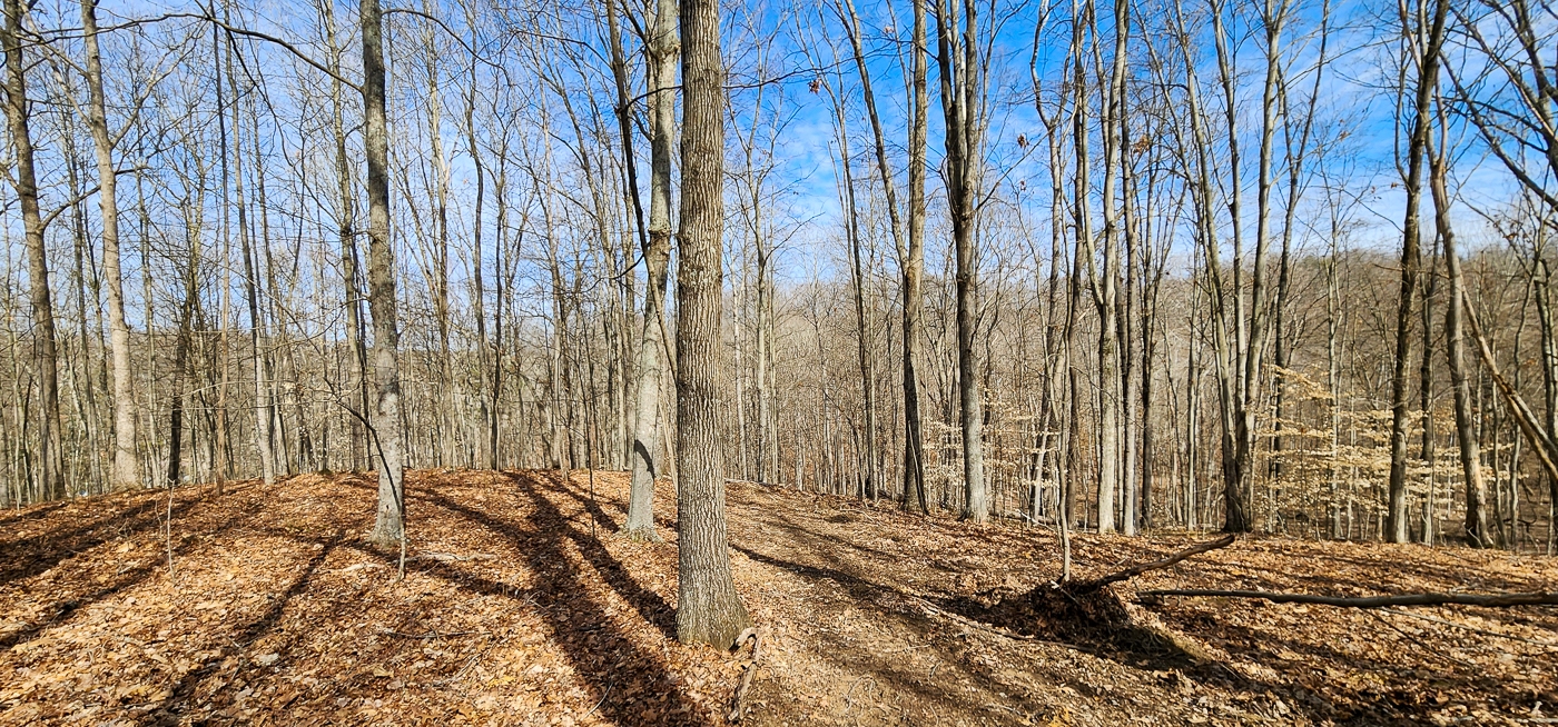
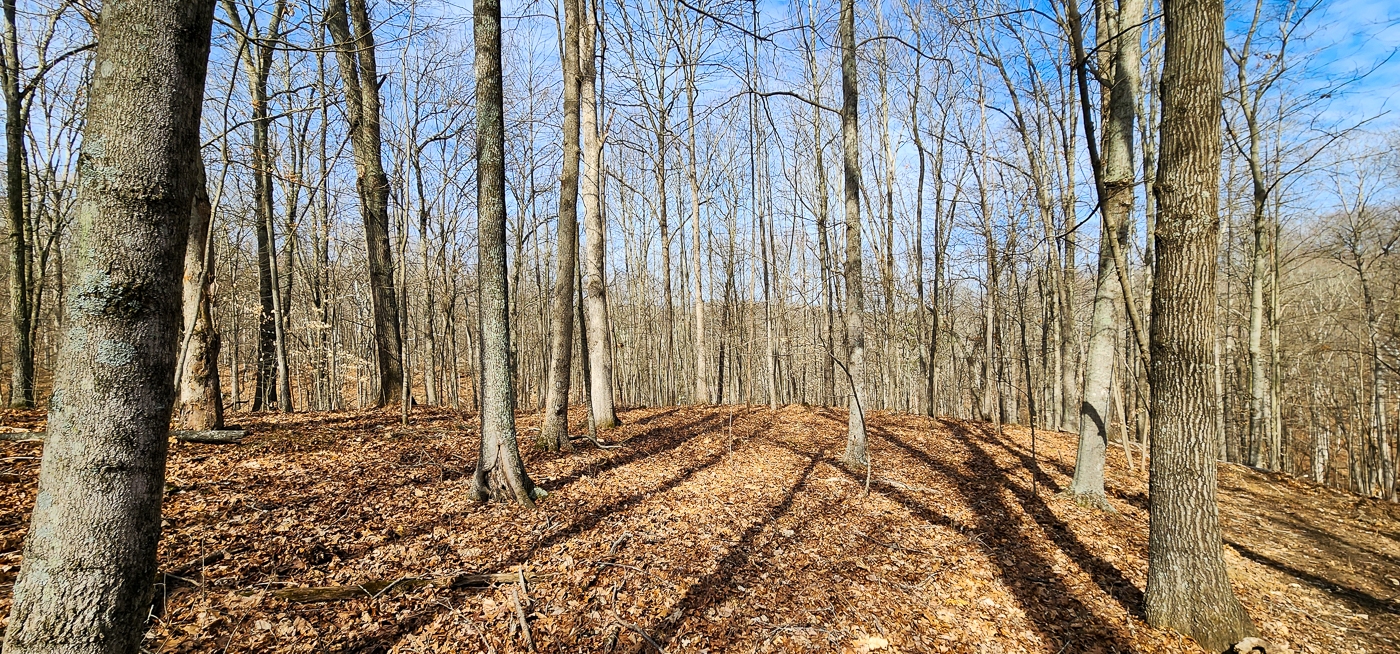
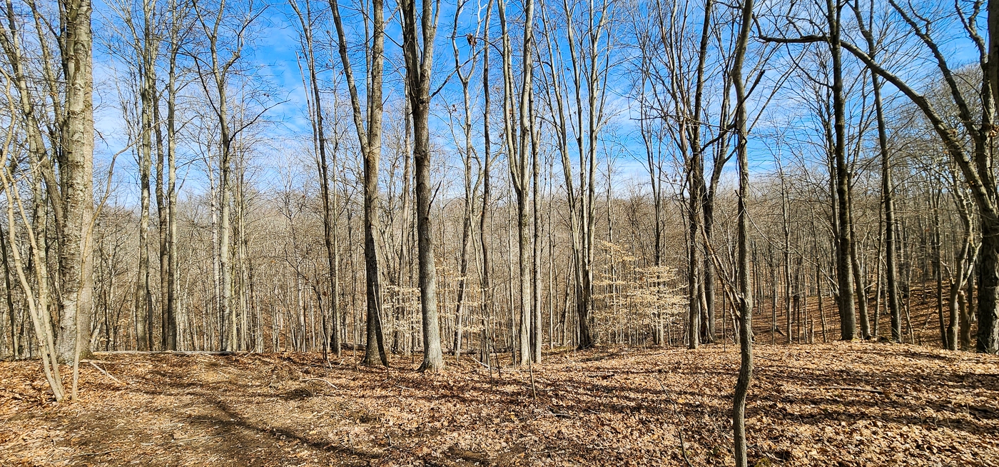
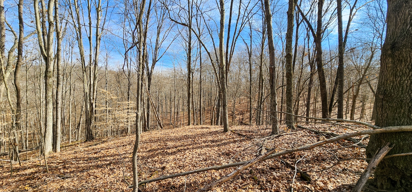
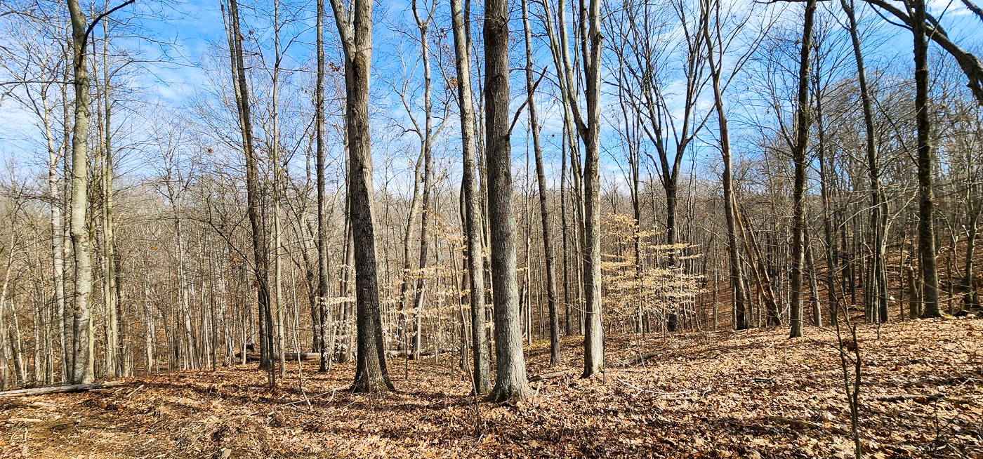
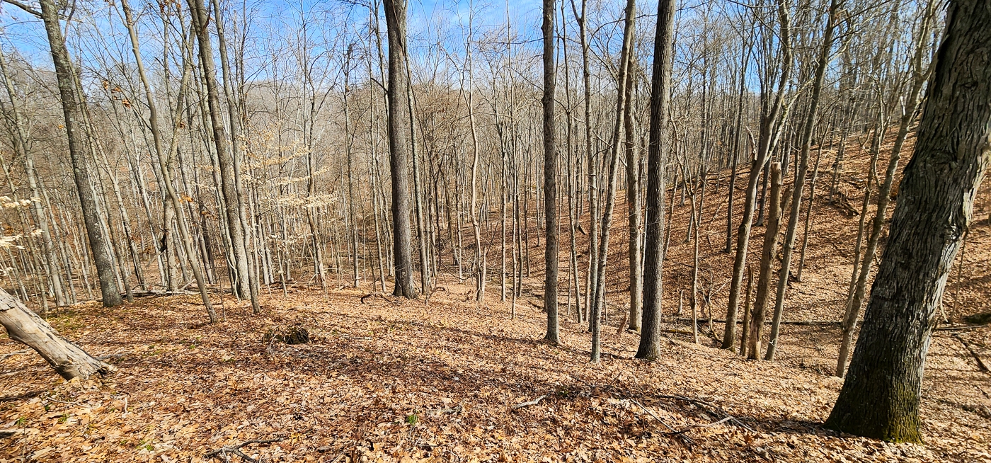
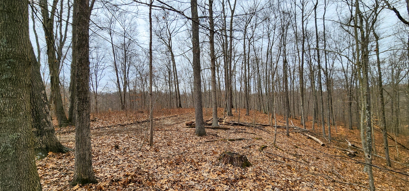
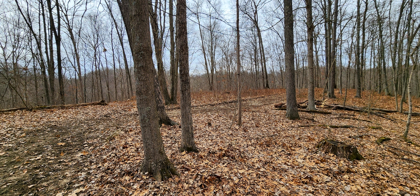
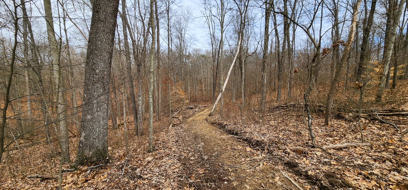
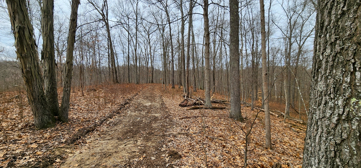
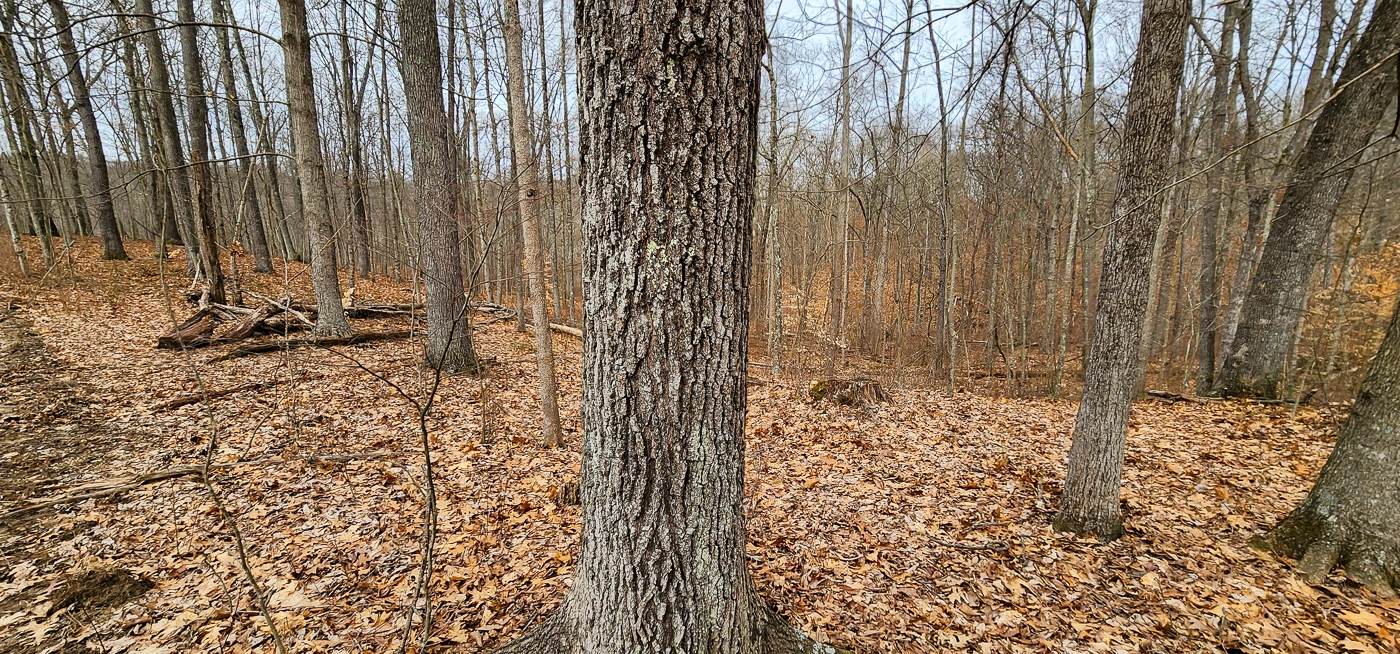
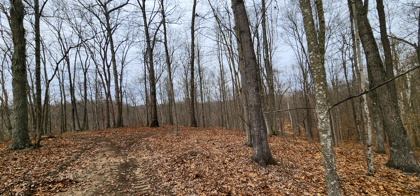
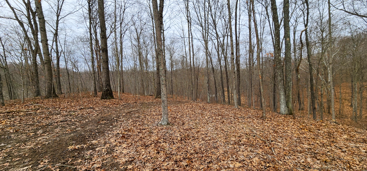
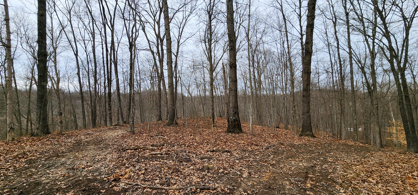
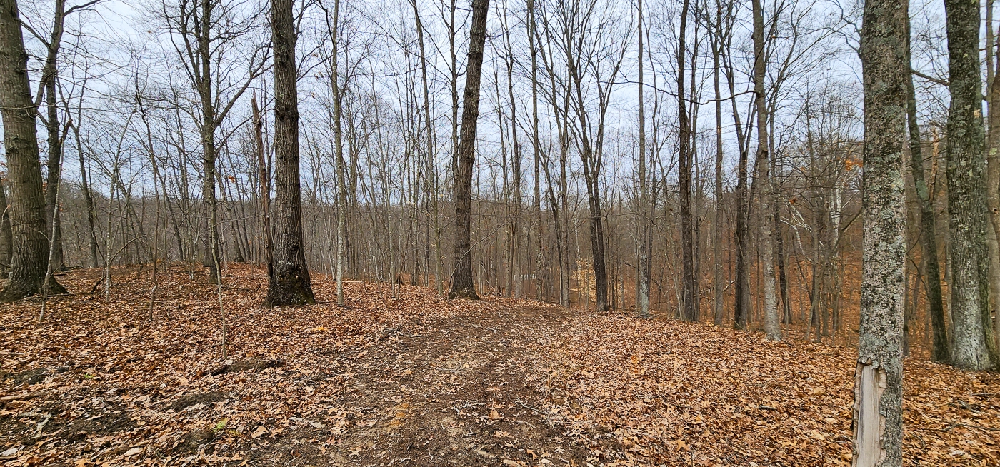
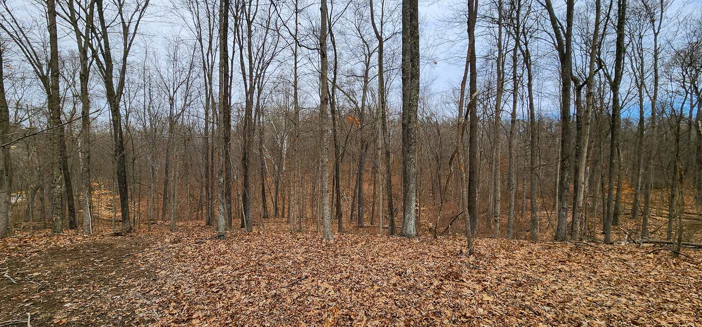
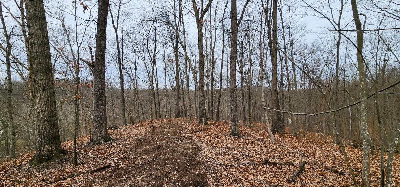
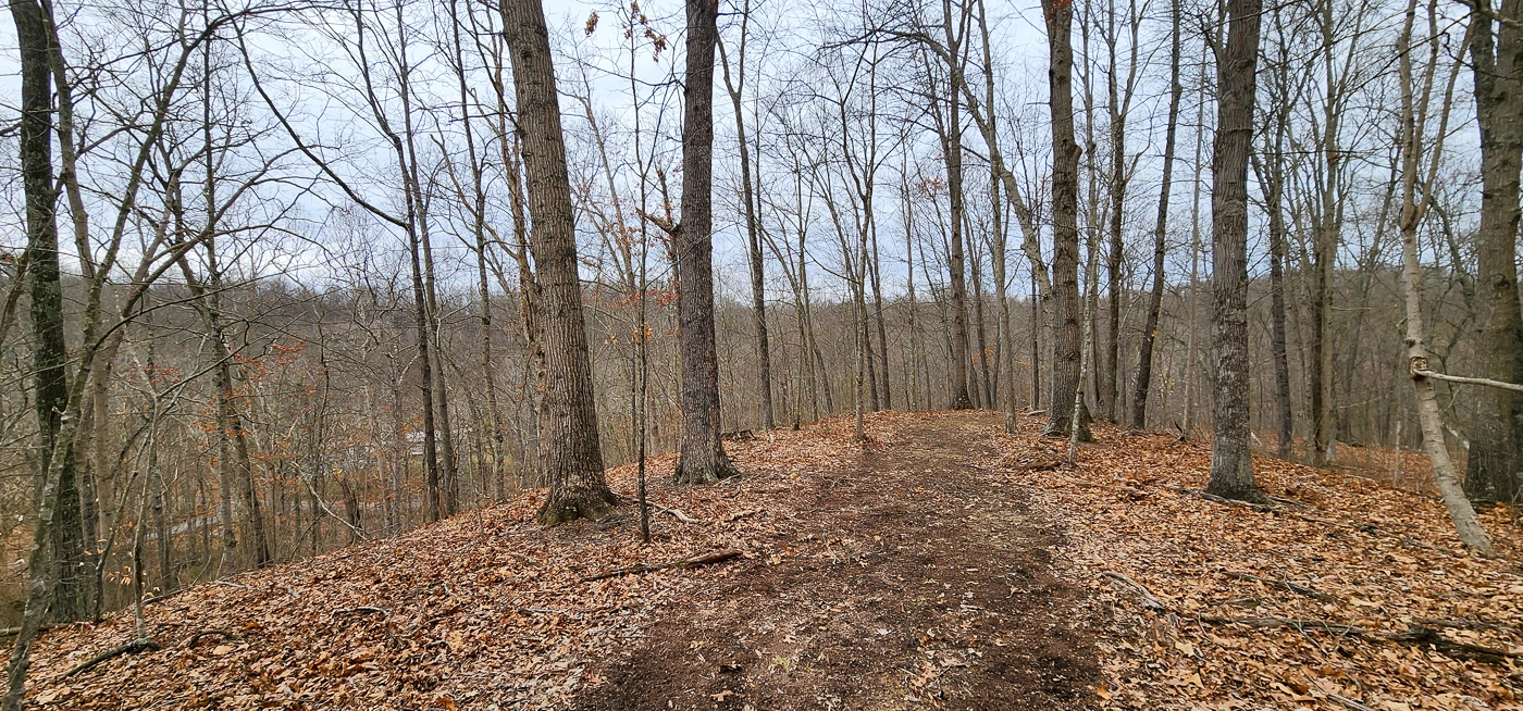
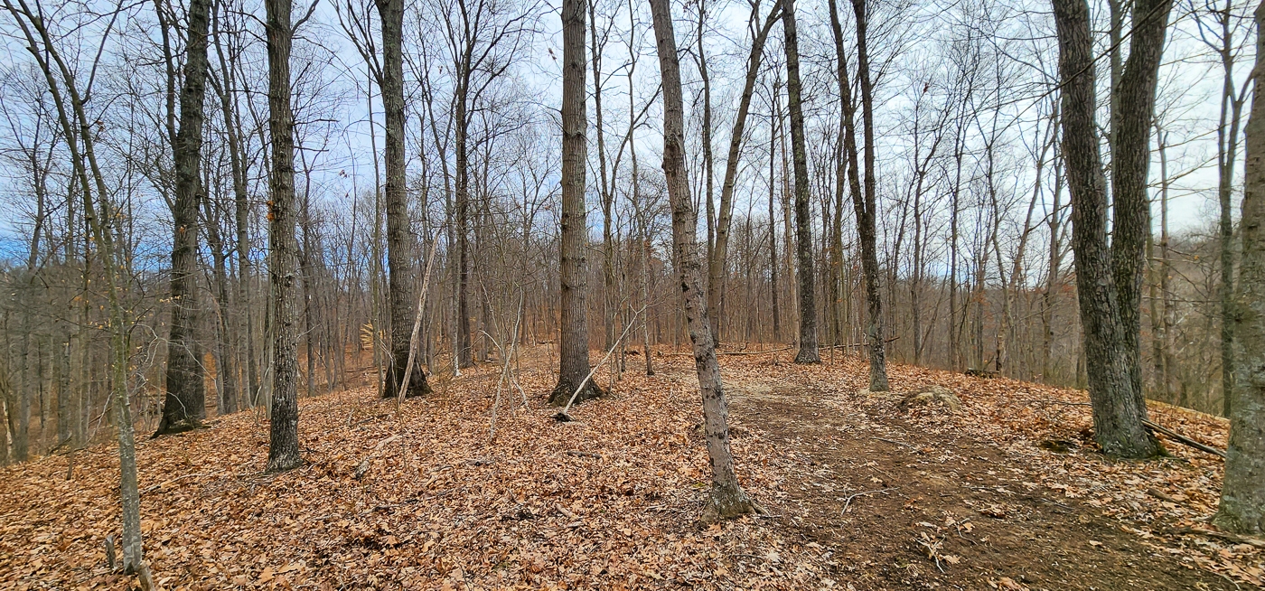
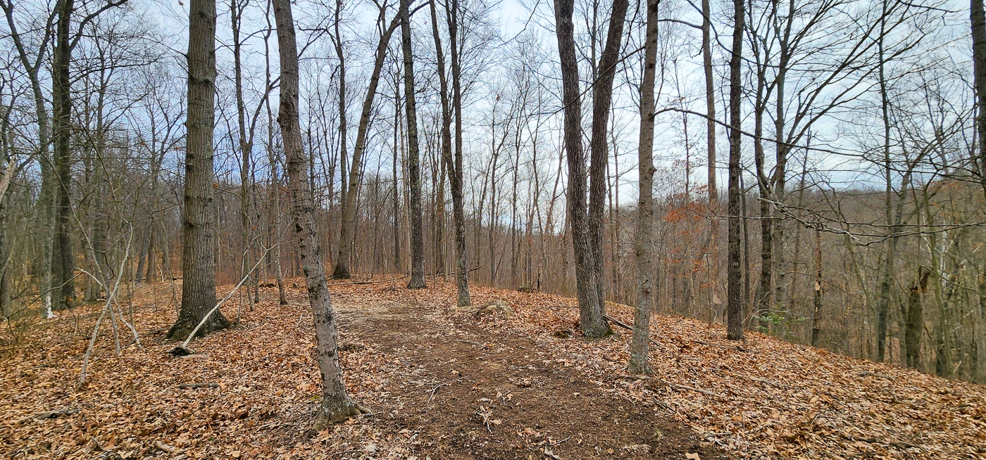
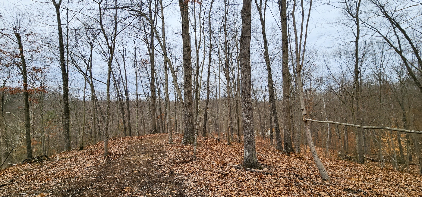
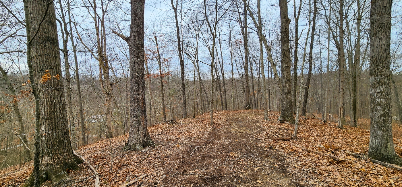
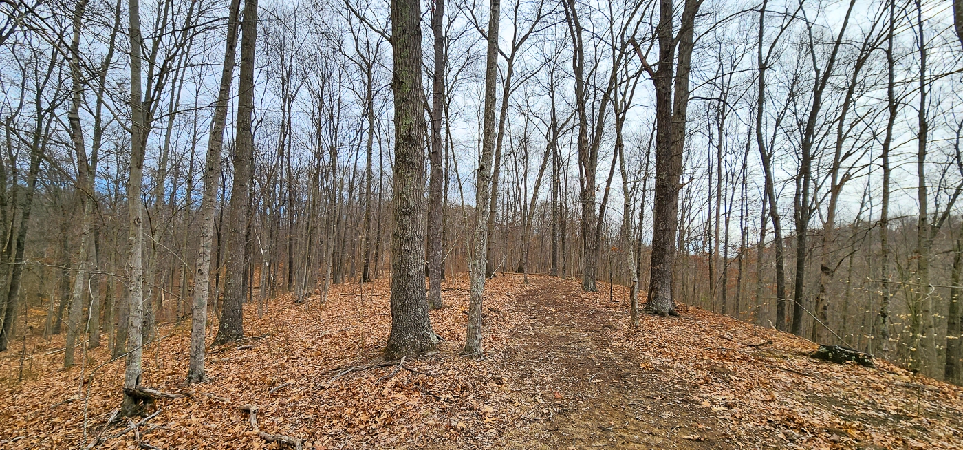
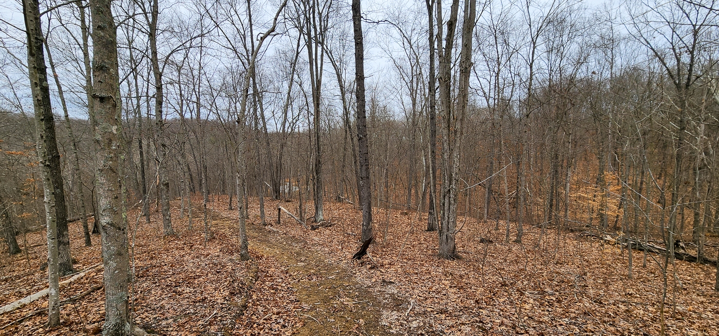
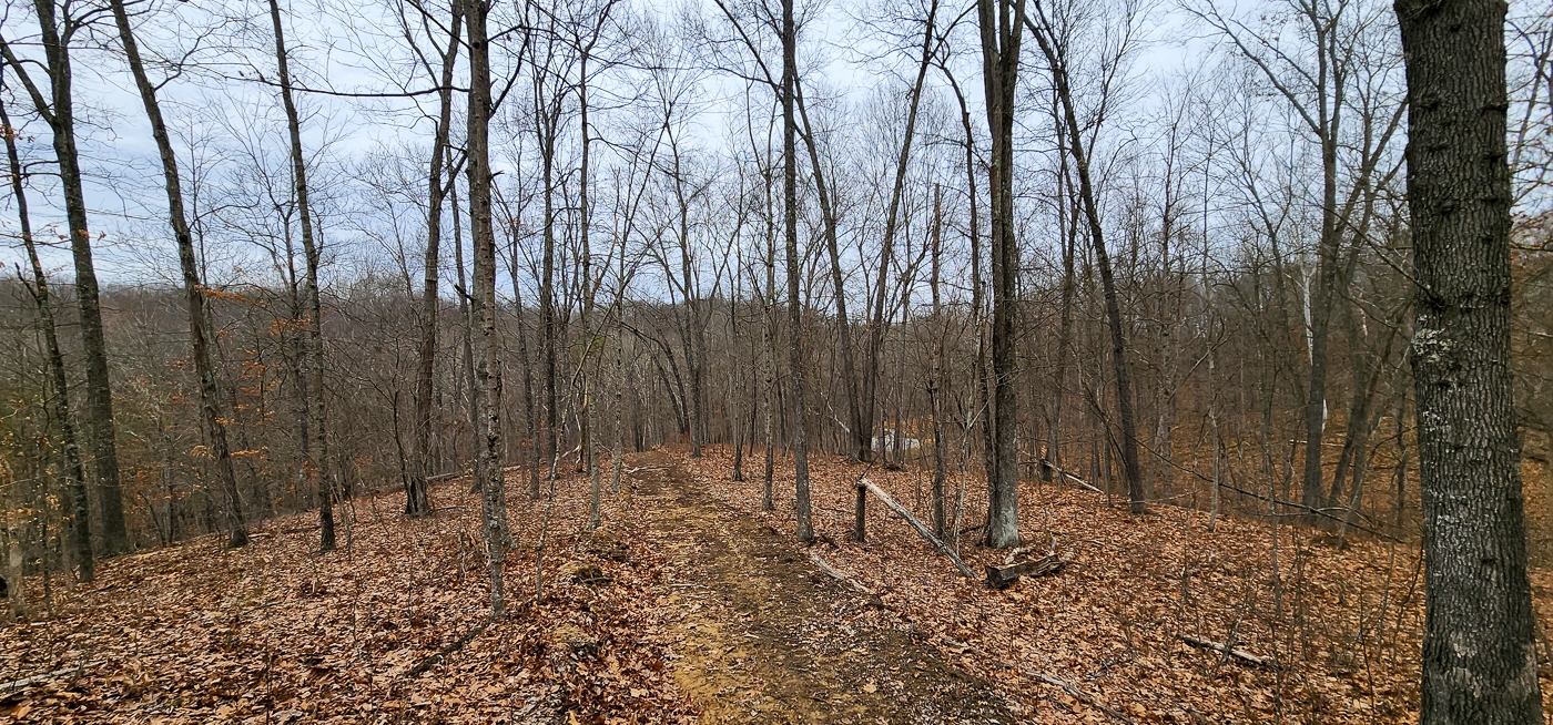
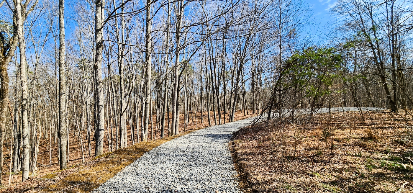
Looking for a property with pristine open canopy woods with huge trees, easy access with gravel driveway installed to a great destination spot, Gated entrance, rolling topography, stunning build sites and utilities available? If so then welcome to Big Timber Ridge. High quality hard to find Ohio land nestled in the rolling hills of Meigs County that is sure to make you smile. You've seen the rest now come check out the best....
Big Timber Ridge is Located:
0 Red Hill Rd, Langsville, Ohio 45741
GPS Coordinates : 39.044243, -82.273877
A Countrytyme advantage
Take the property lines into the field.
On your phone, tap Walk property lines, allow your location when asked, and follow the blue dot in Tract Explorer to see your position in relation to the mapped boundary while you explore.
Walk property linesProperty photos