This property has sold.
The interactive map and property-line walking tools remain available. Driving directions are not provided for sold properties.
Interactive property map
Explore this property map. Switch aerial, topographic, soil, water, contour, and terrain layers while the mapped project boundary stays visible.
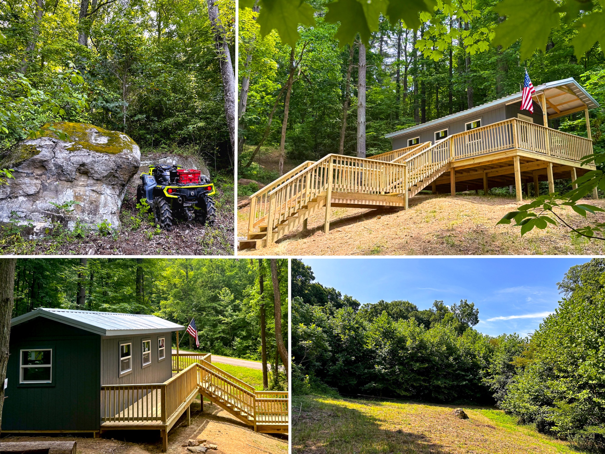
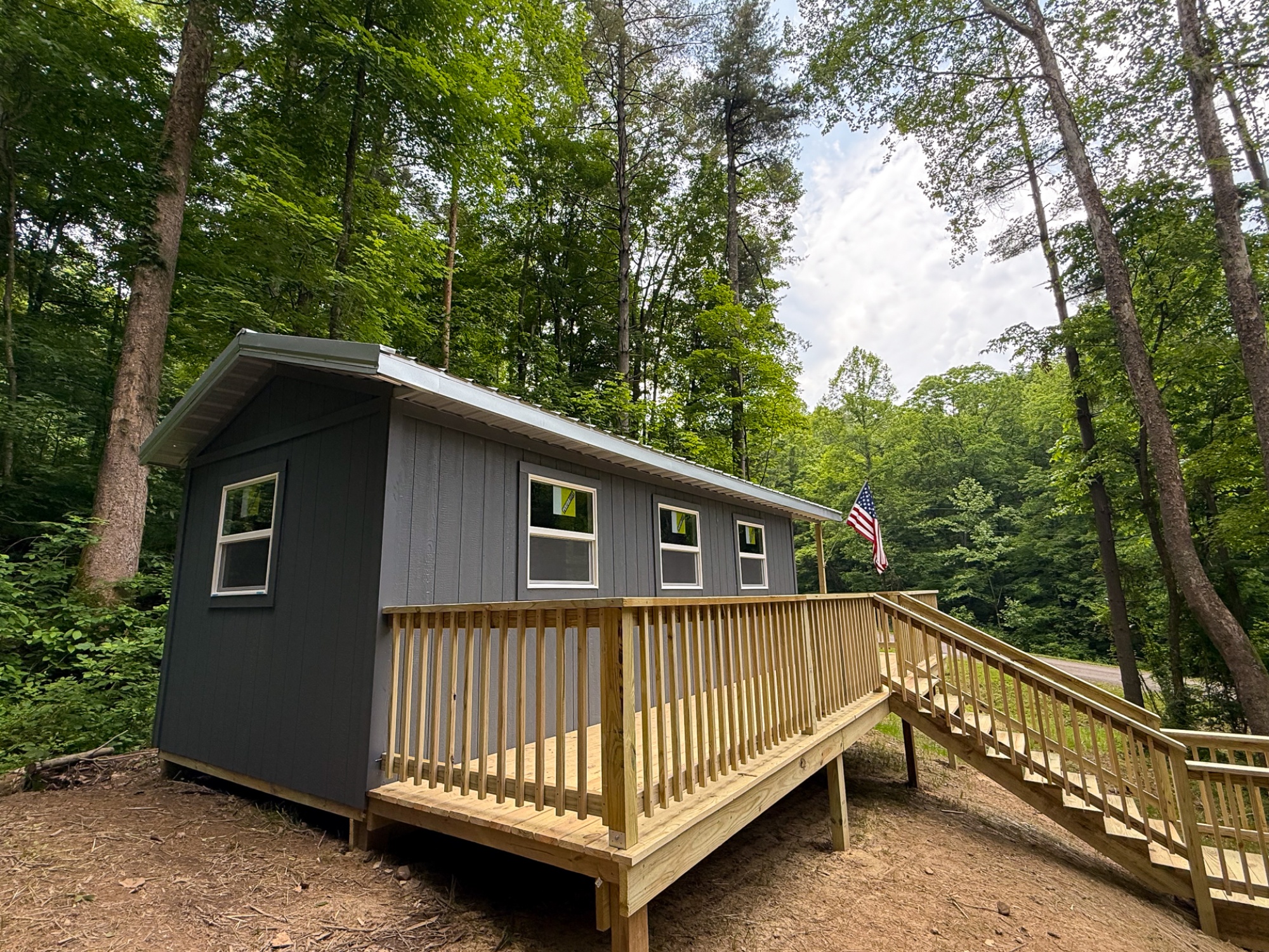
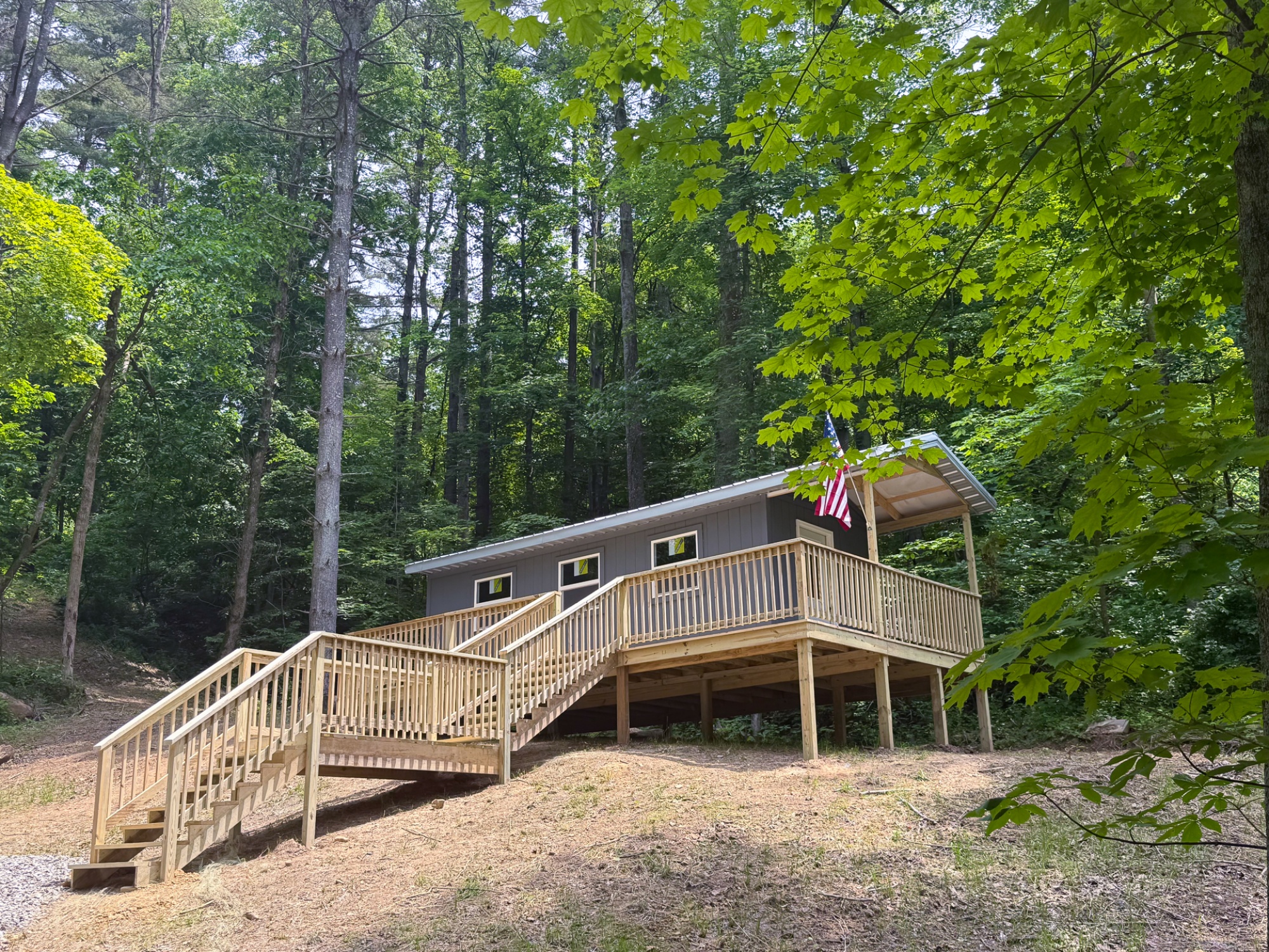
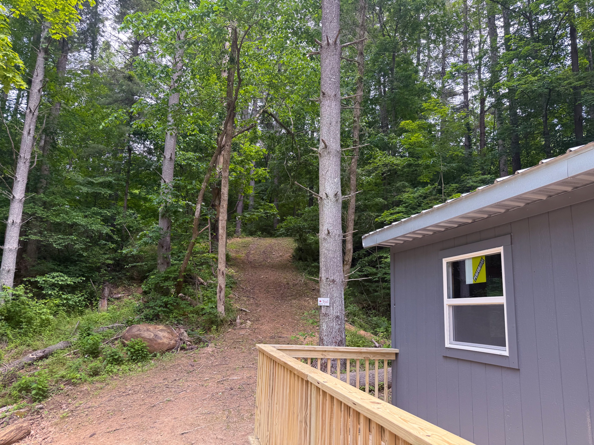
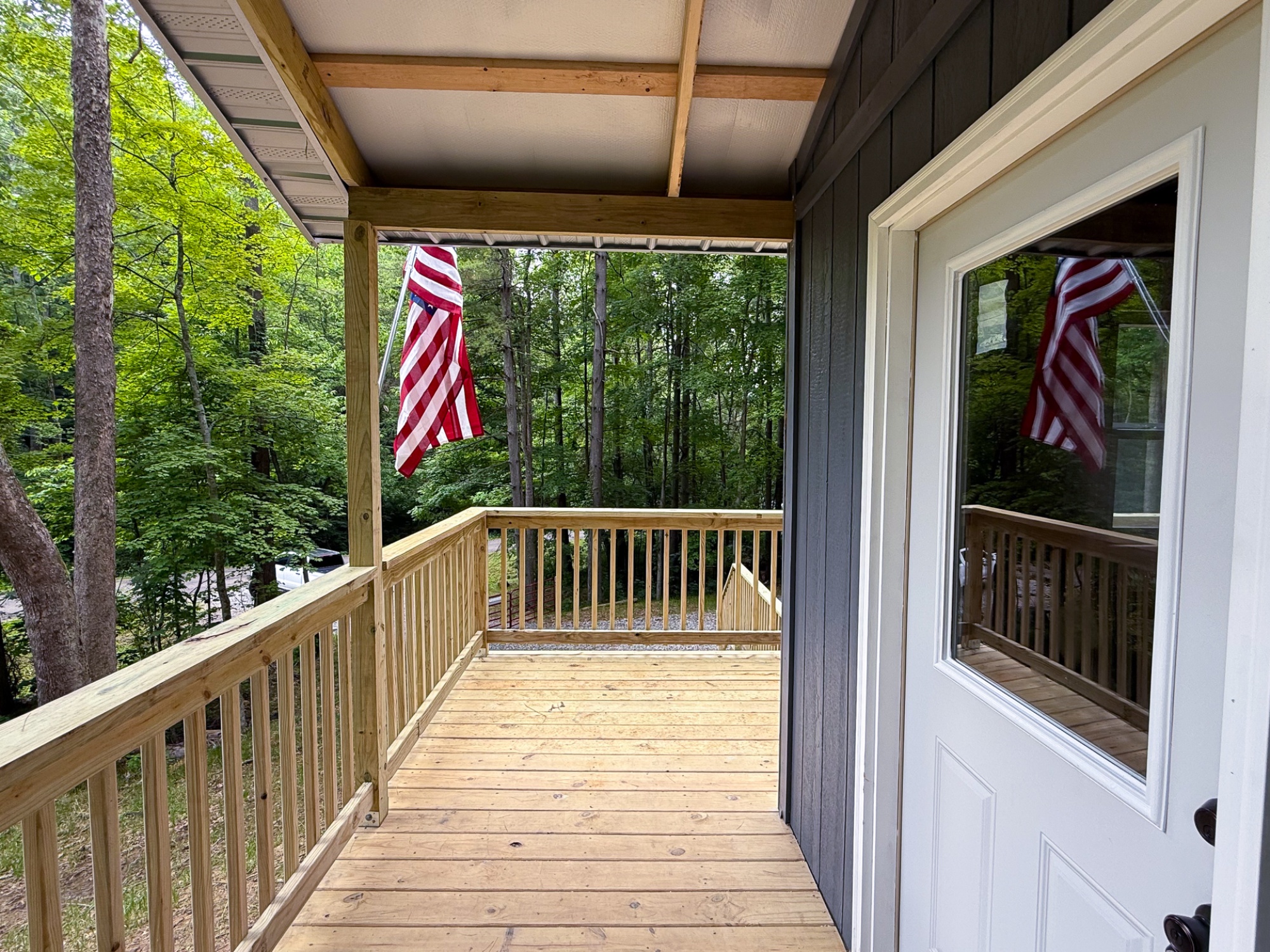
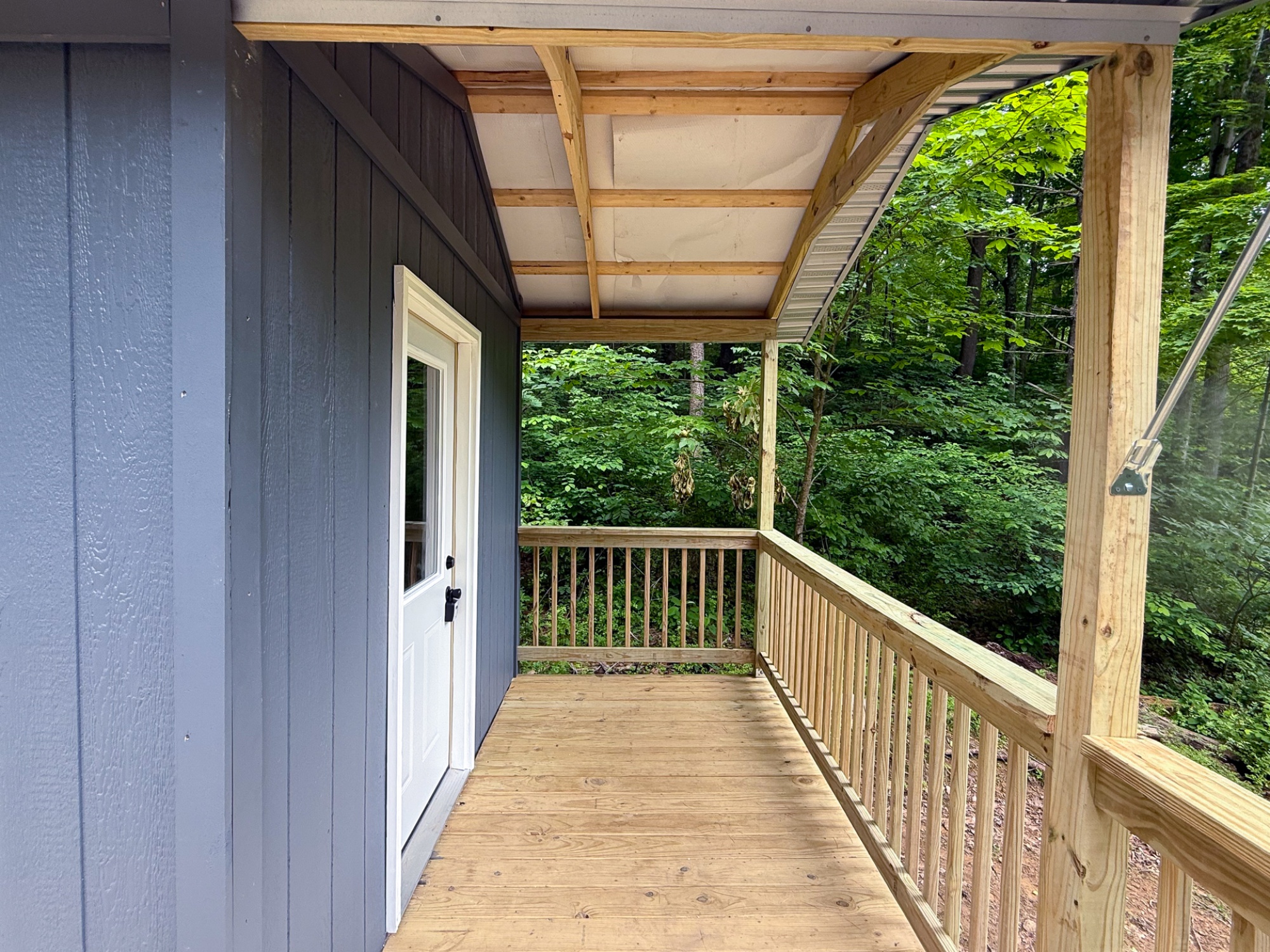
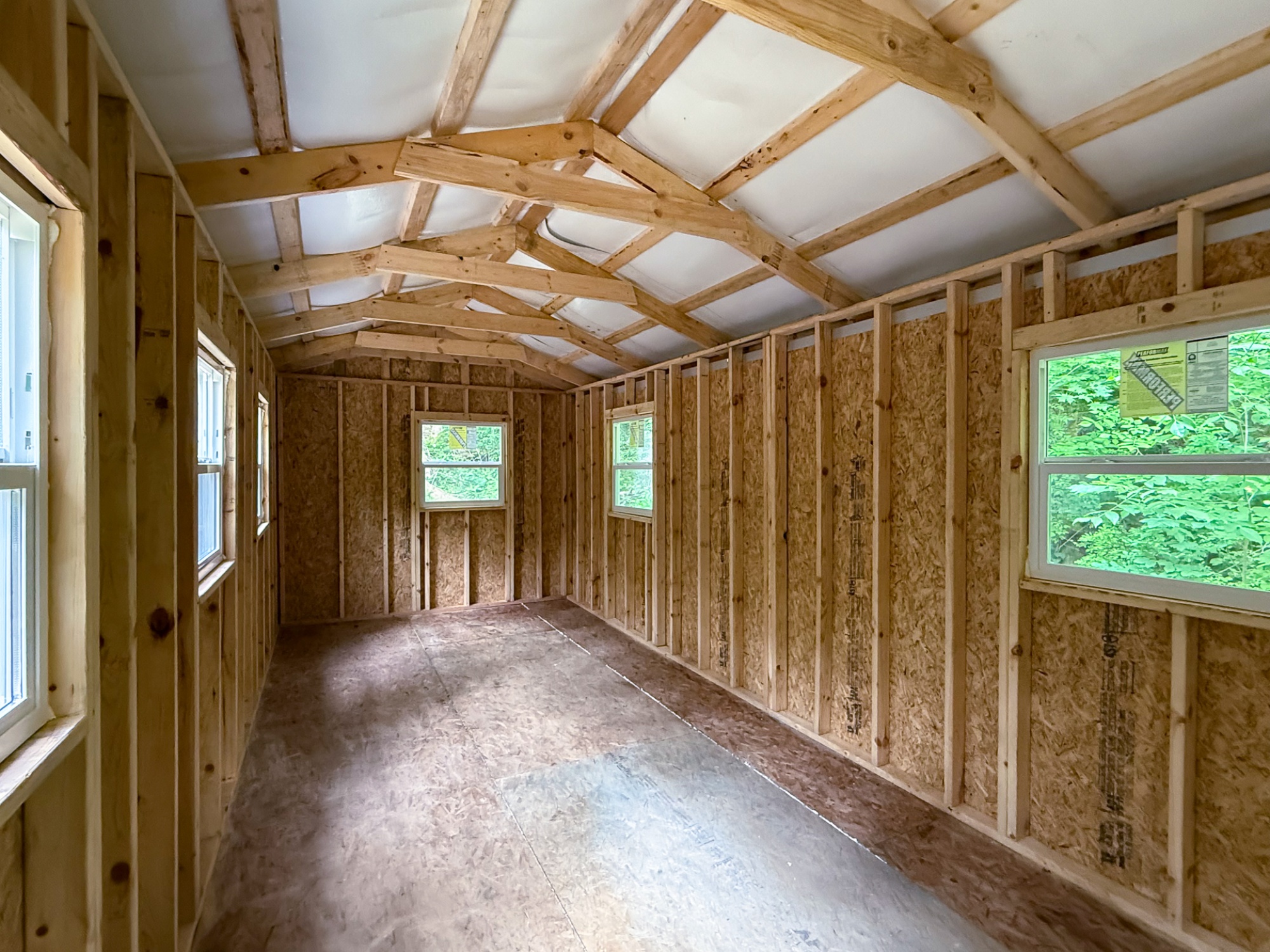
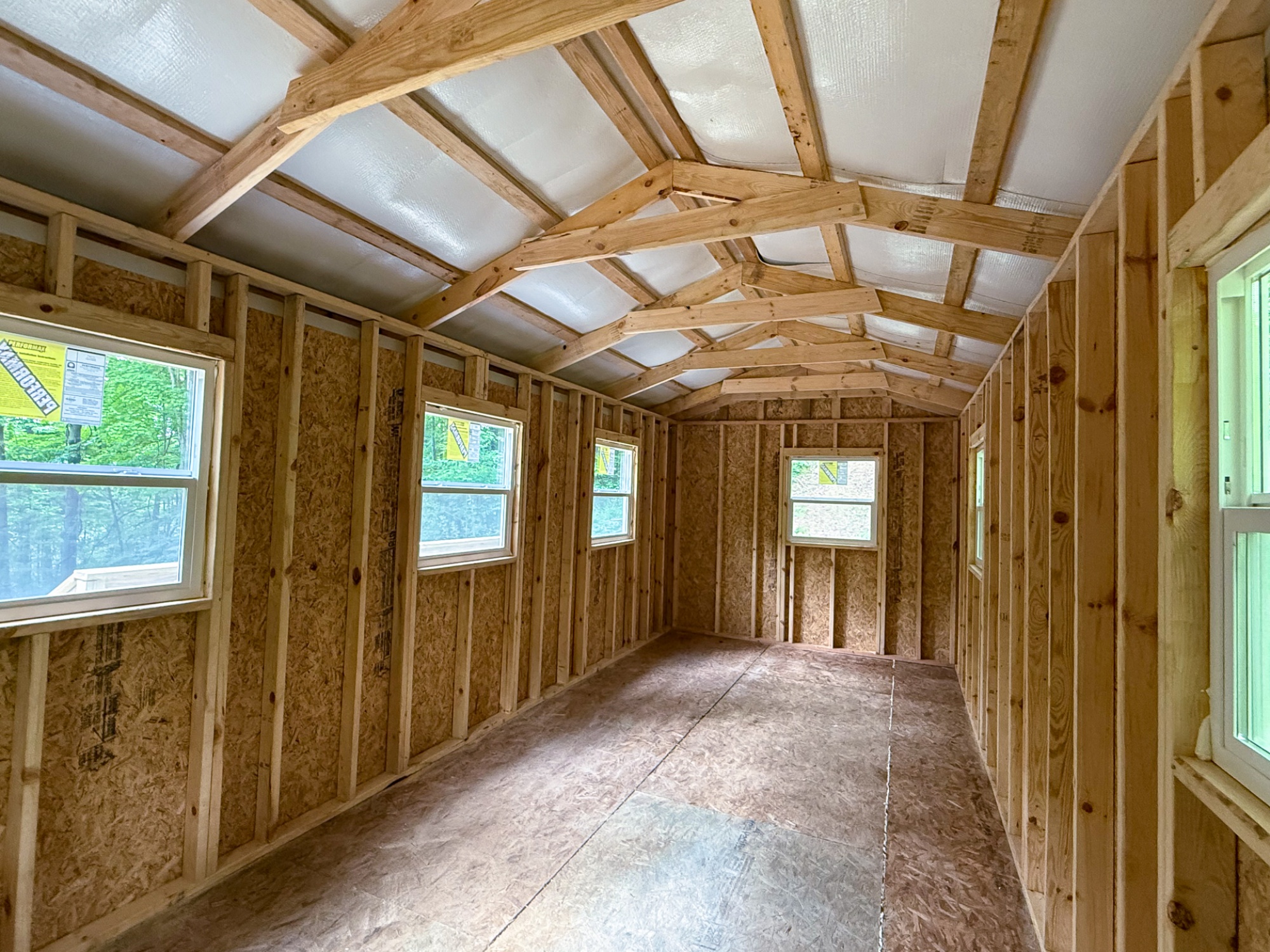
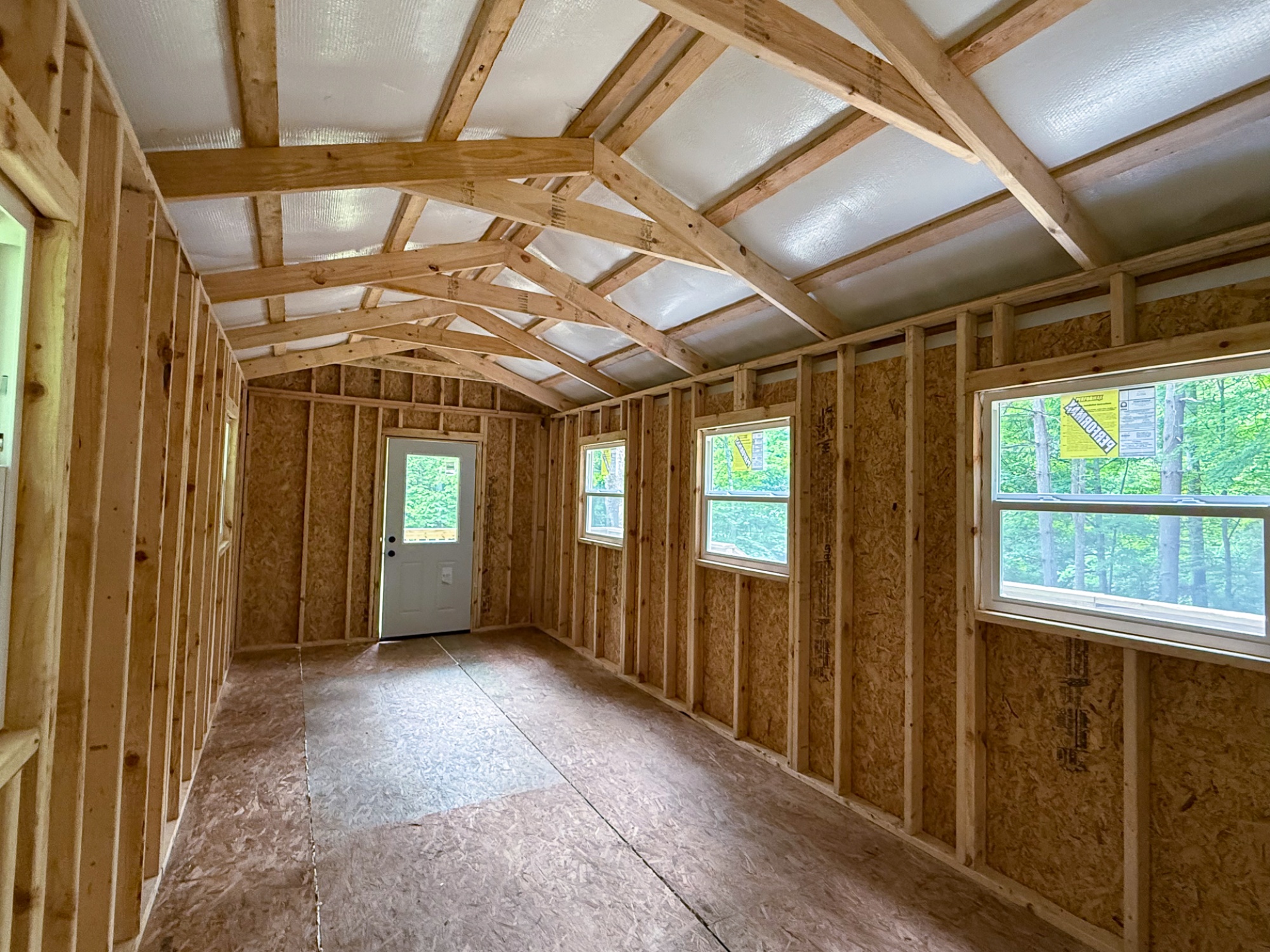
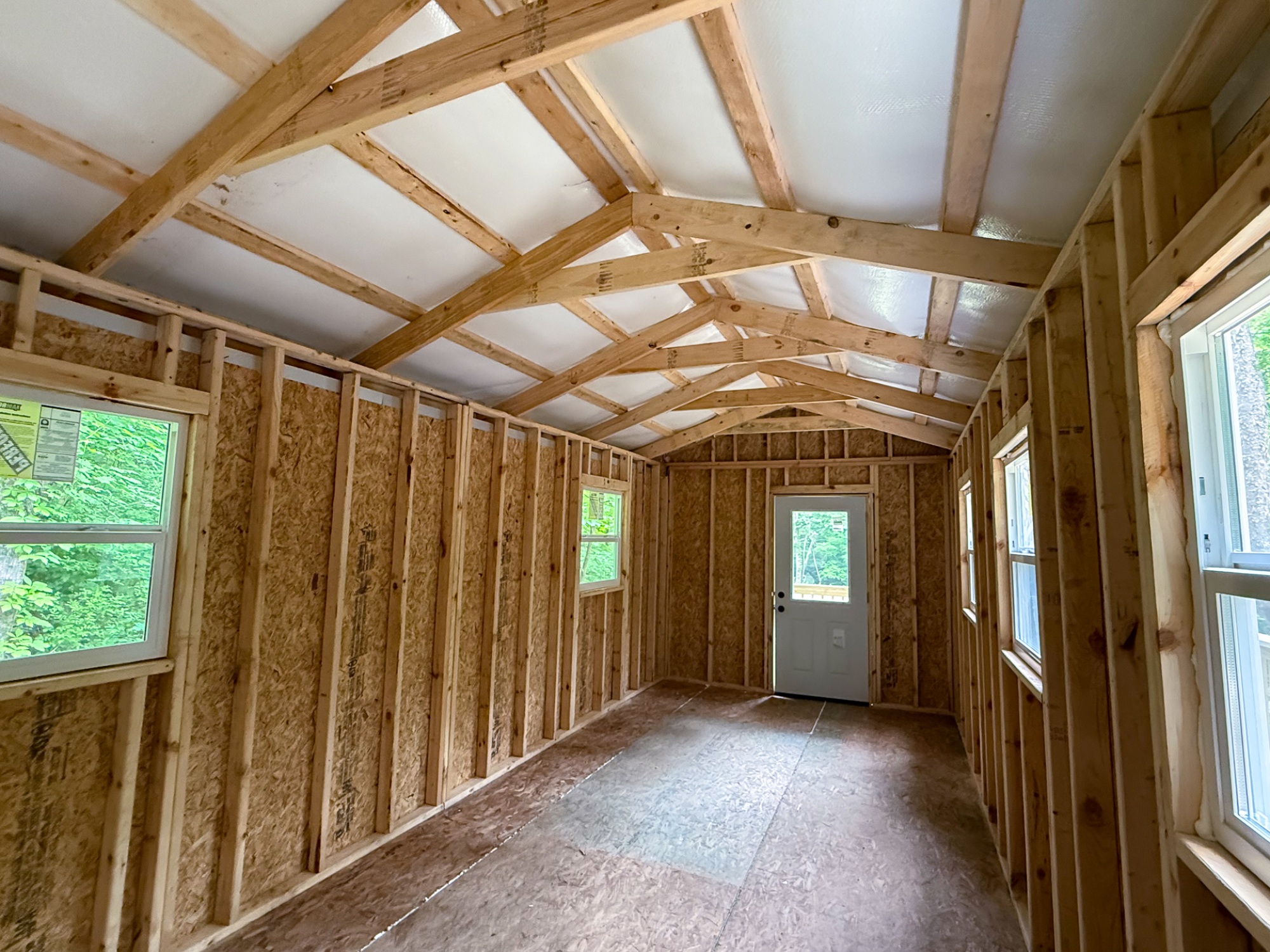
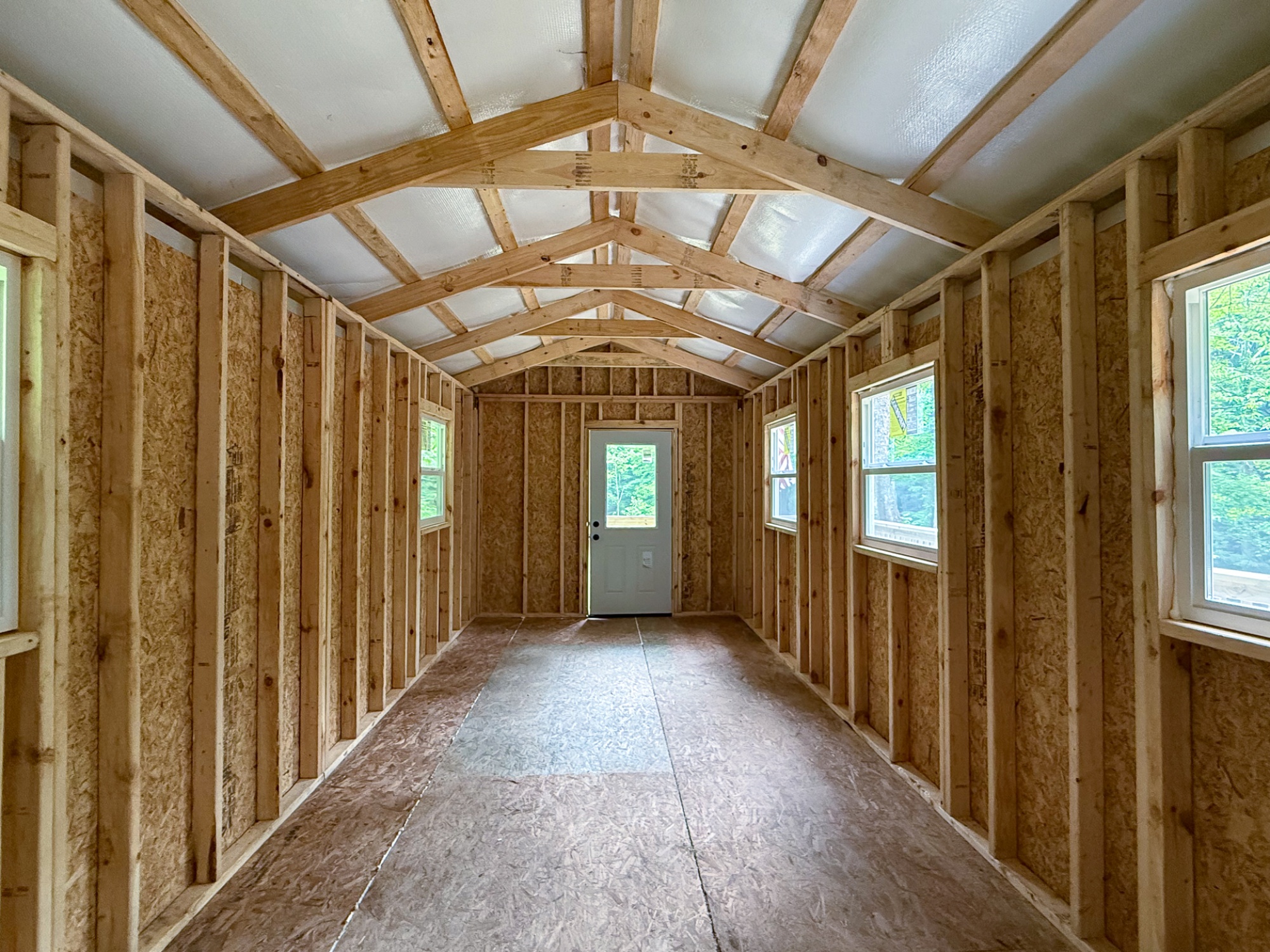
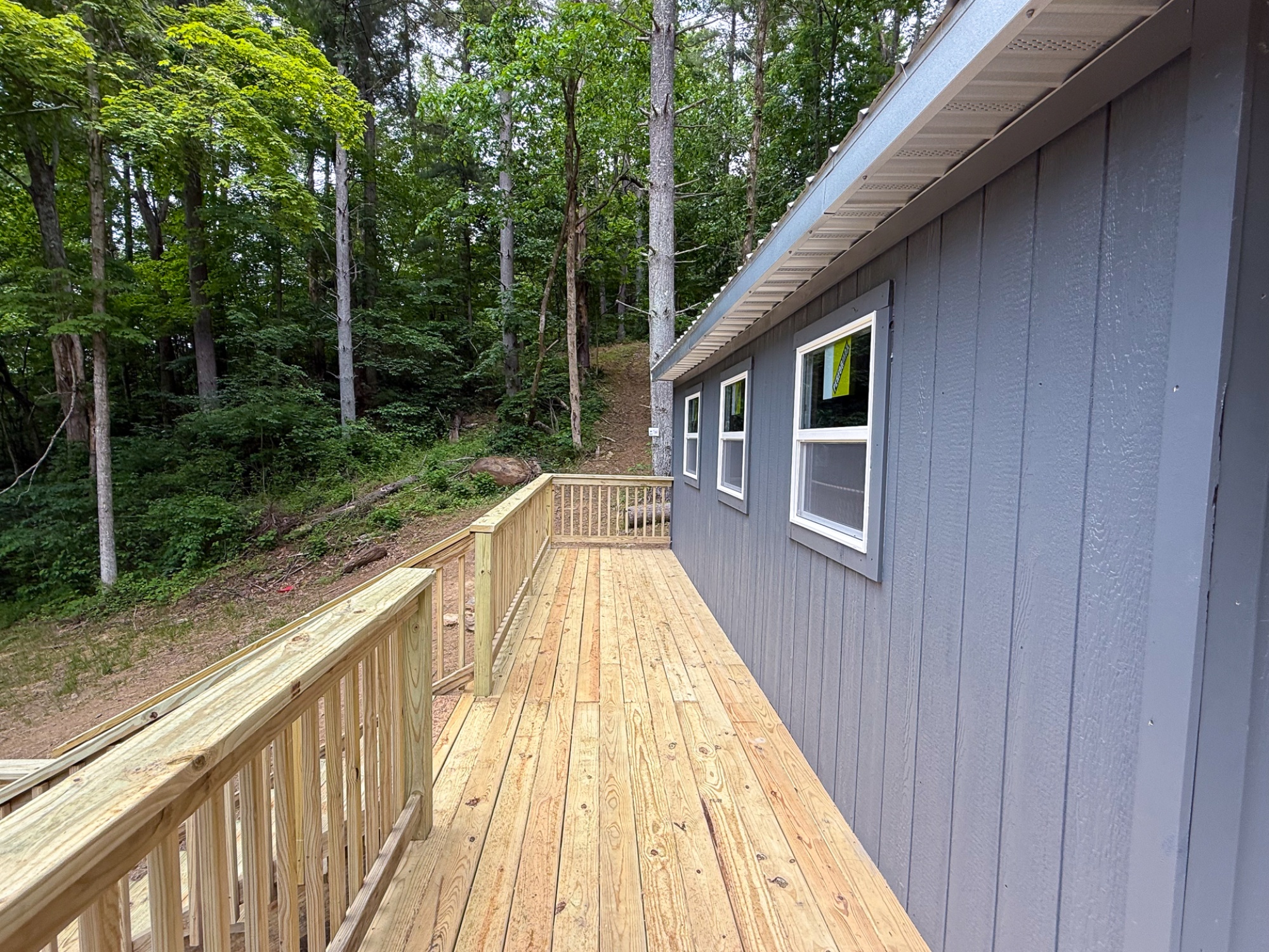
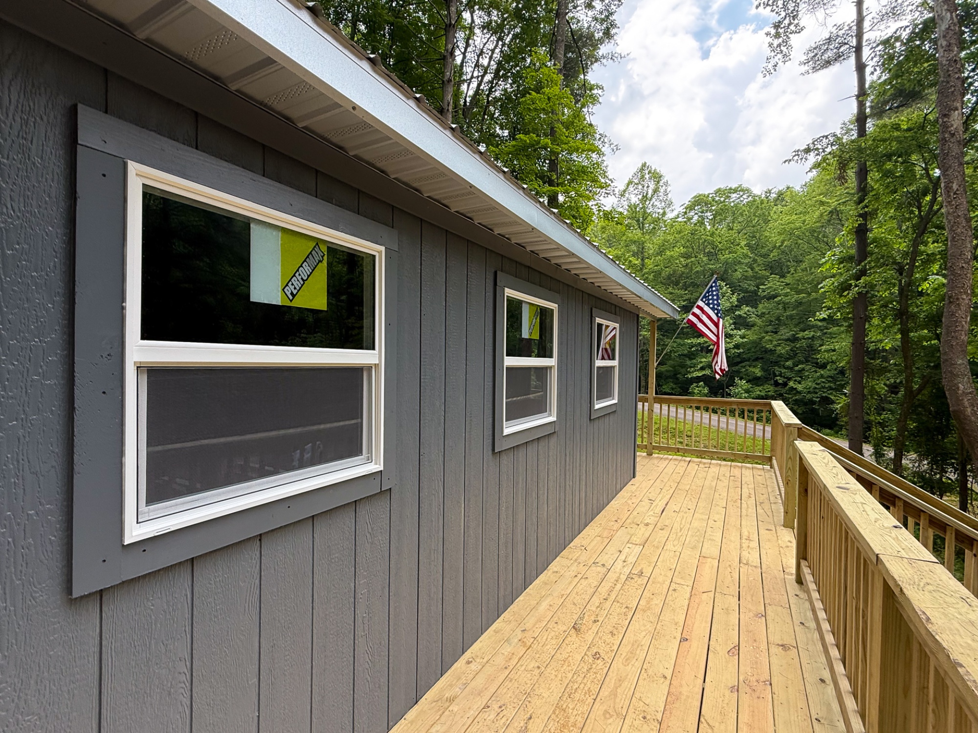
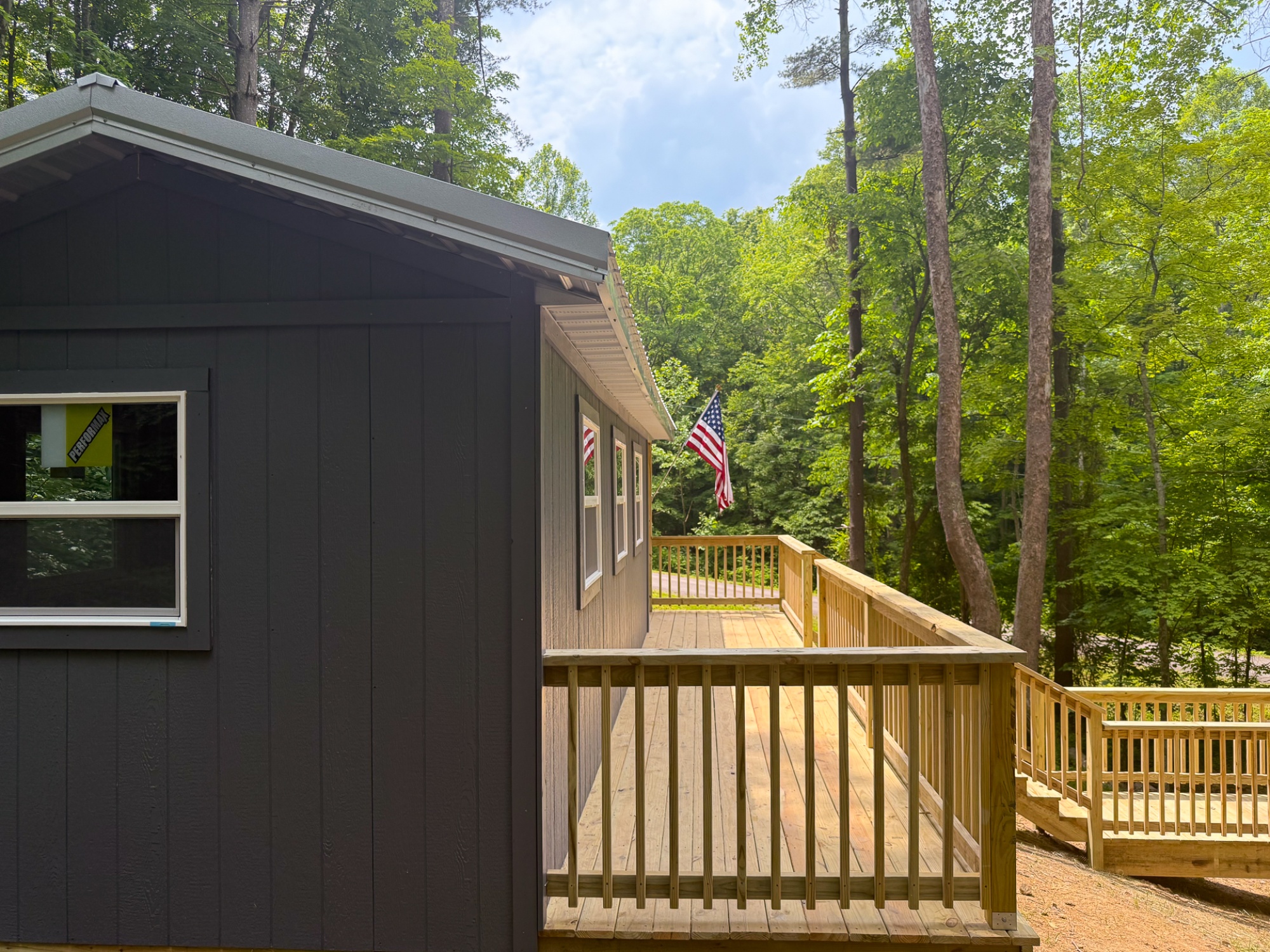
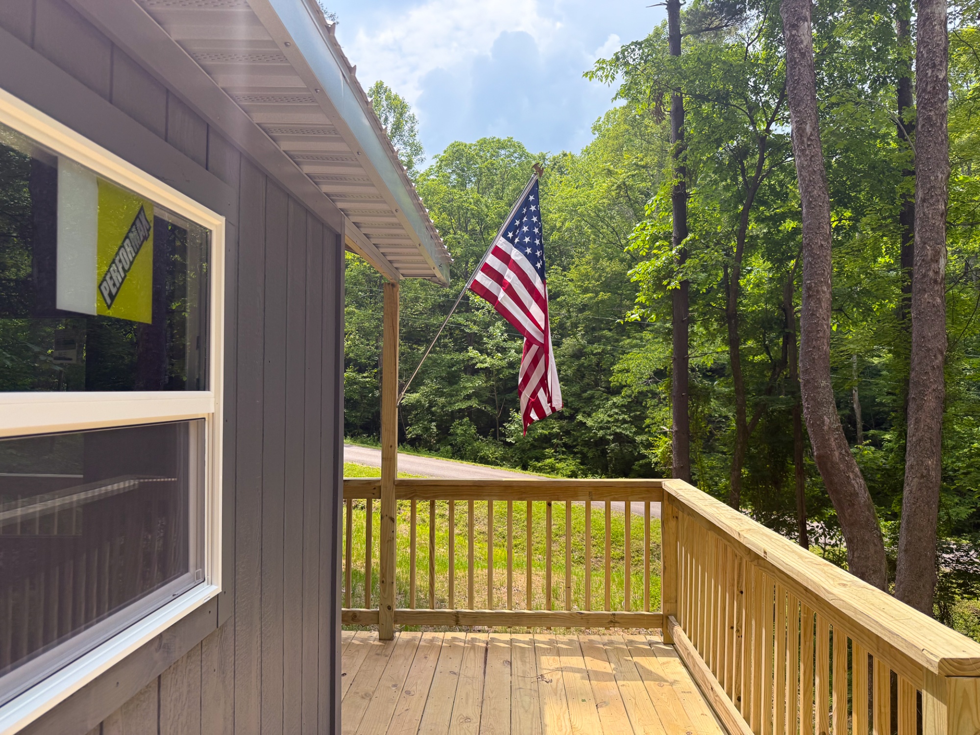
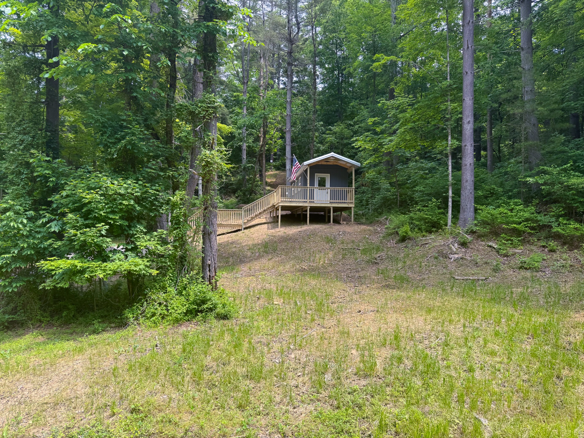
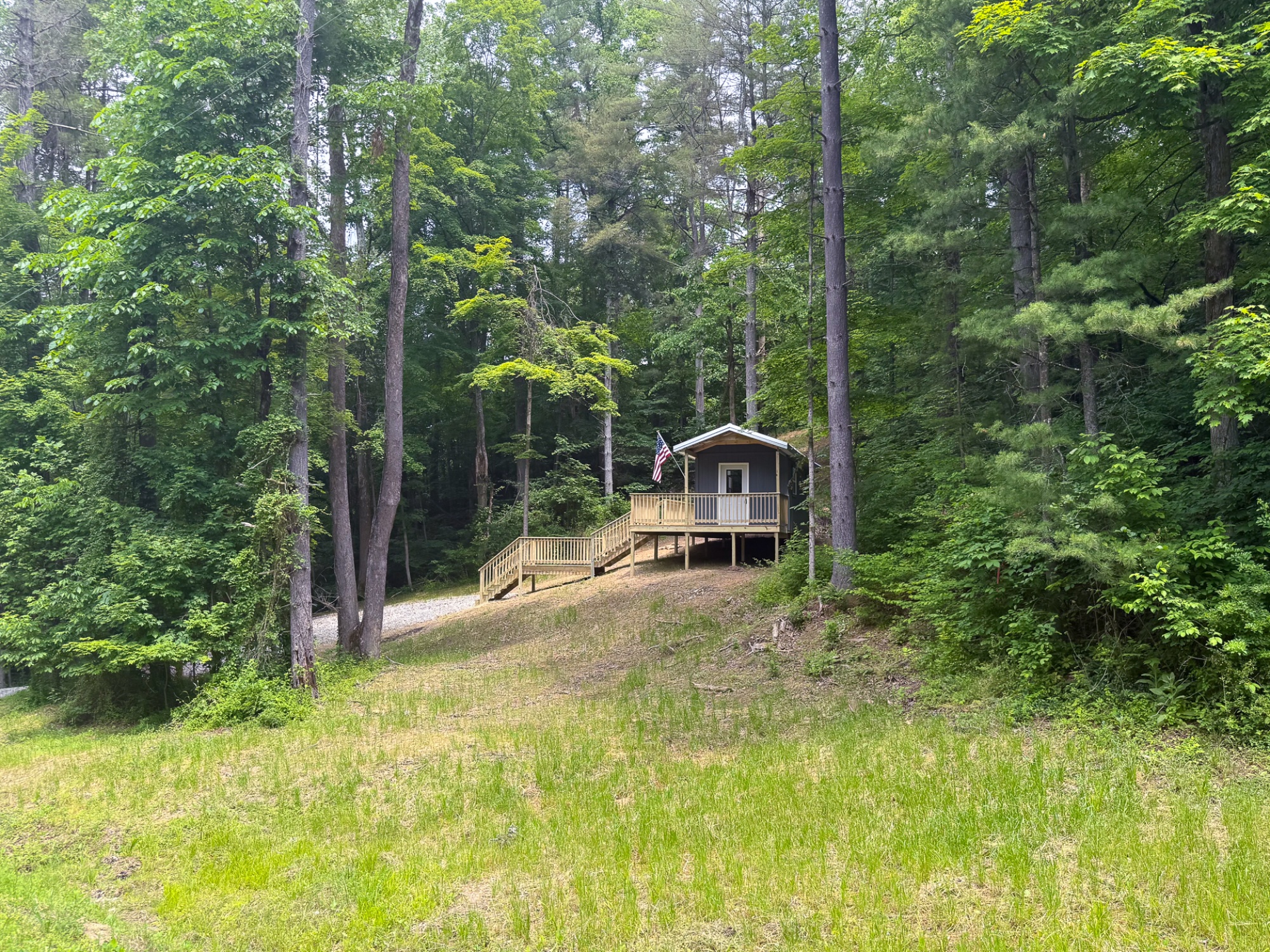
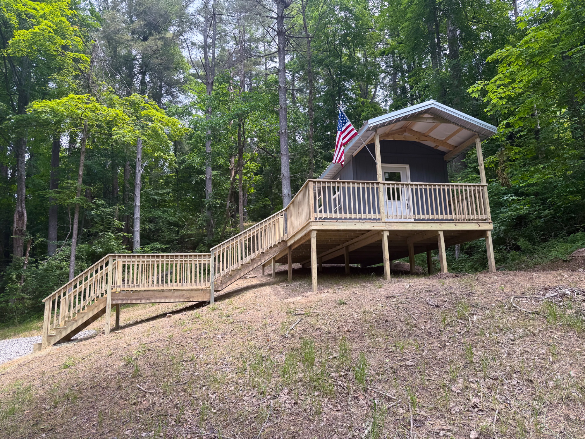
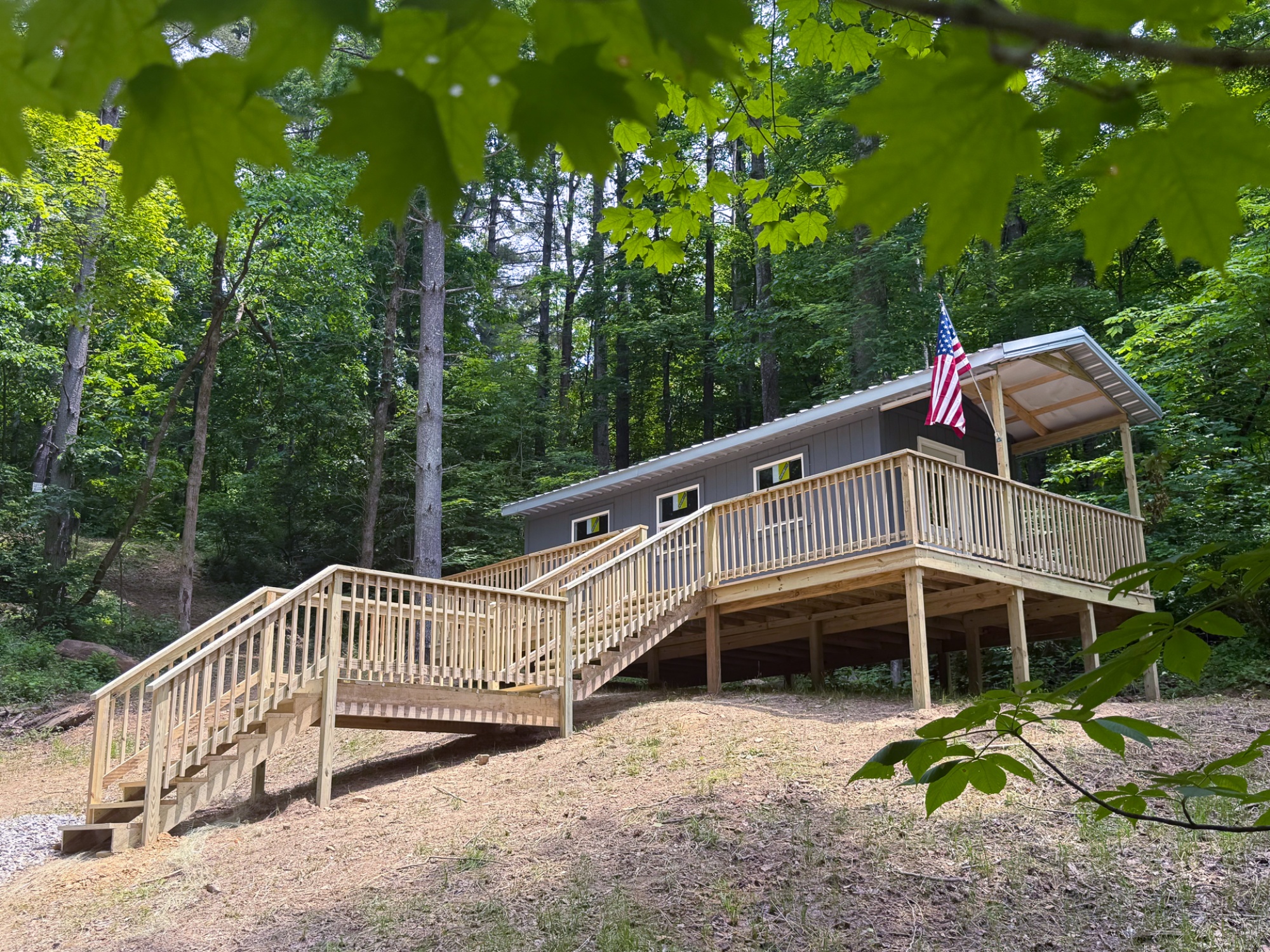
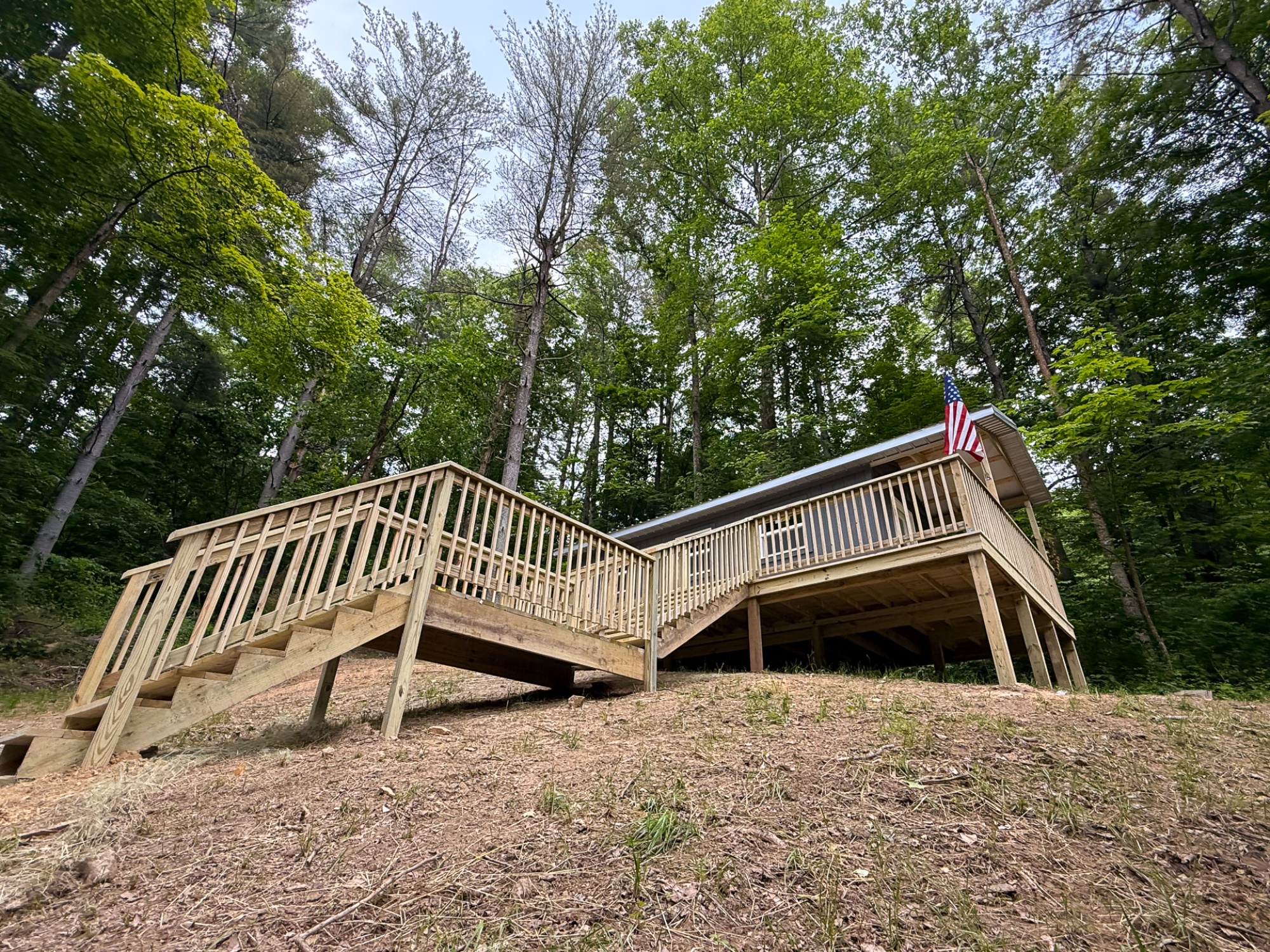
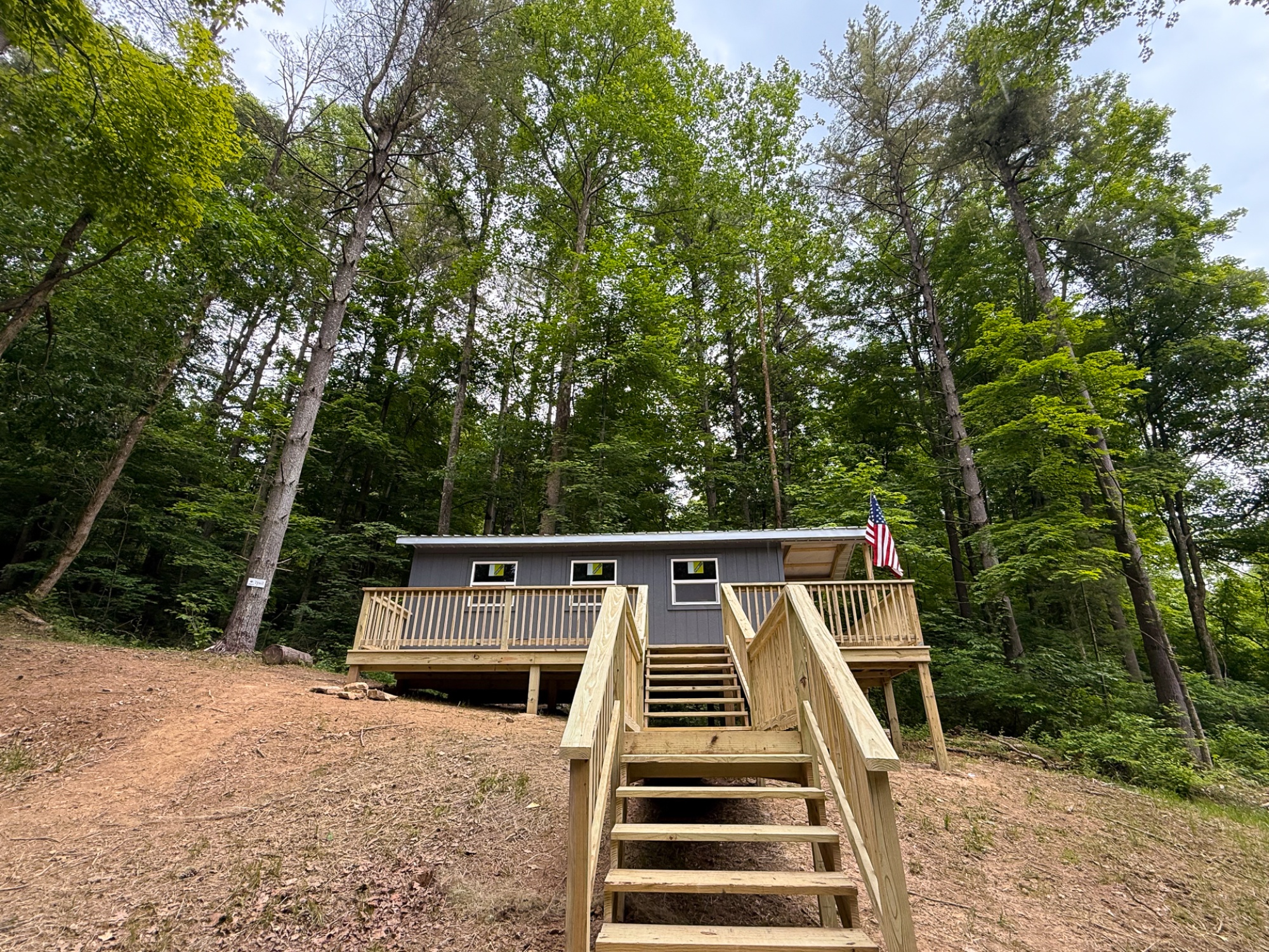
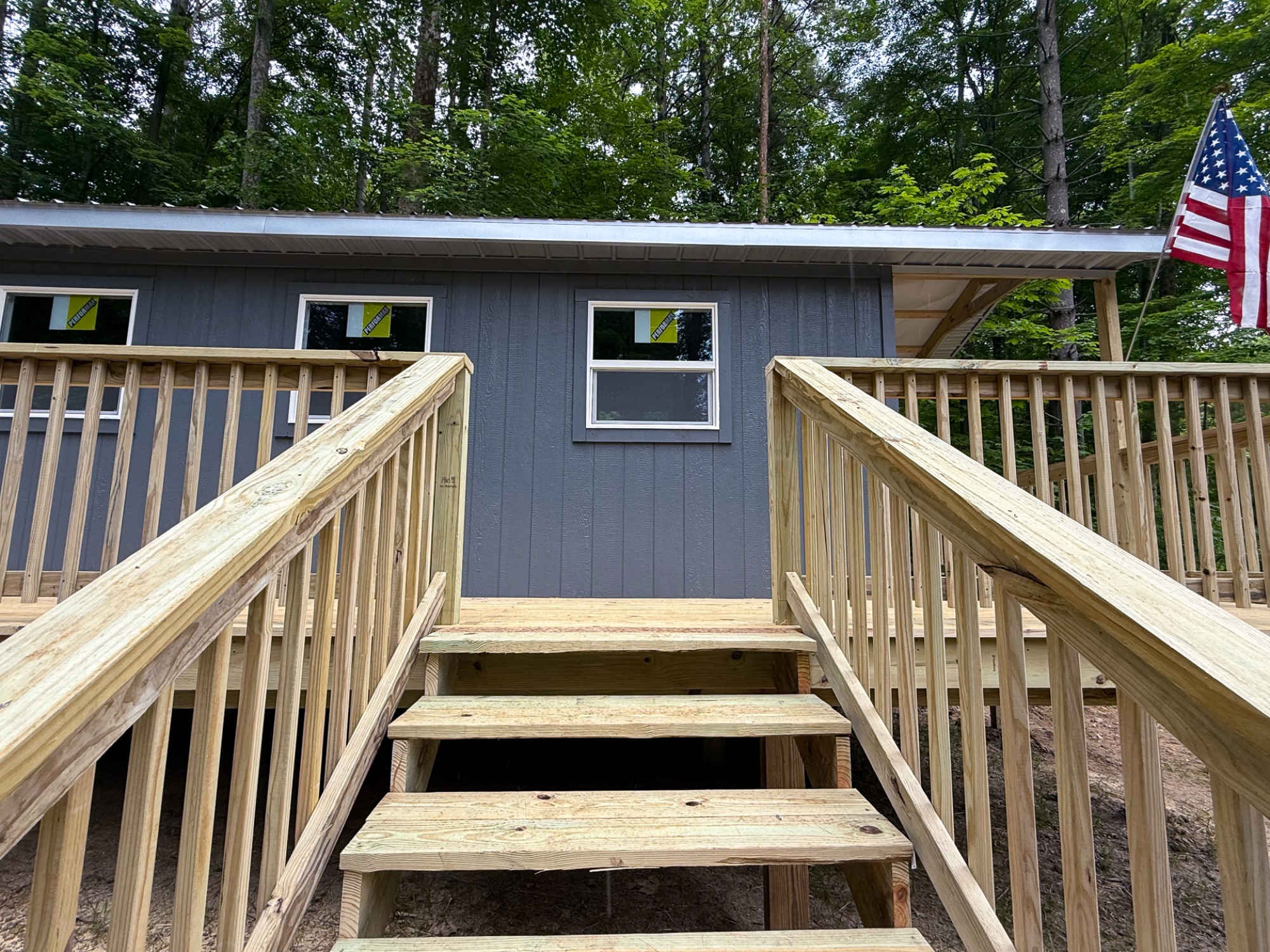
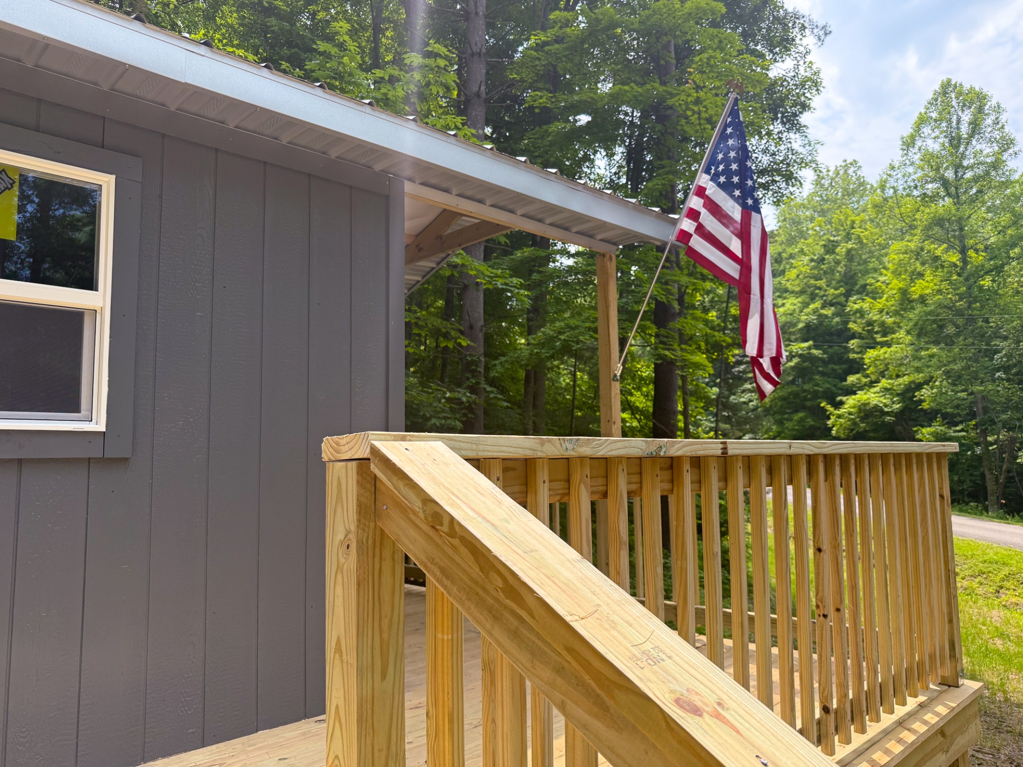
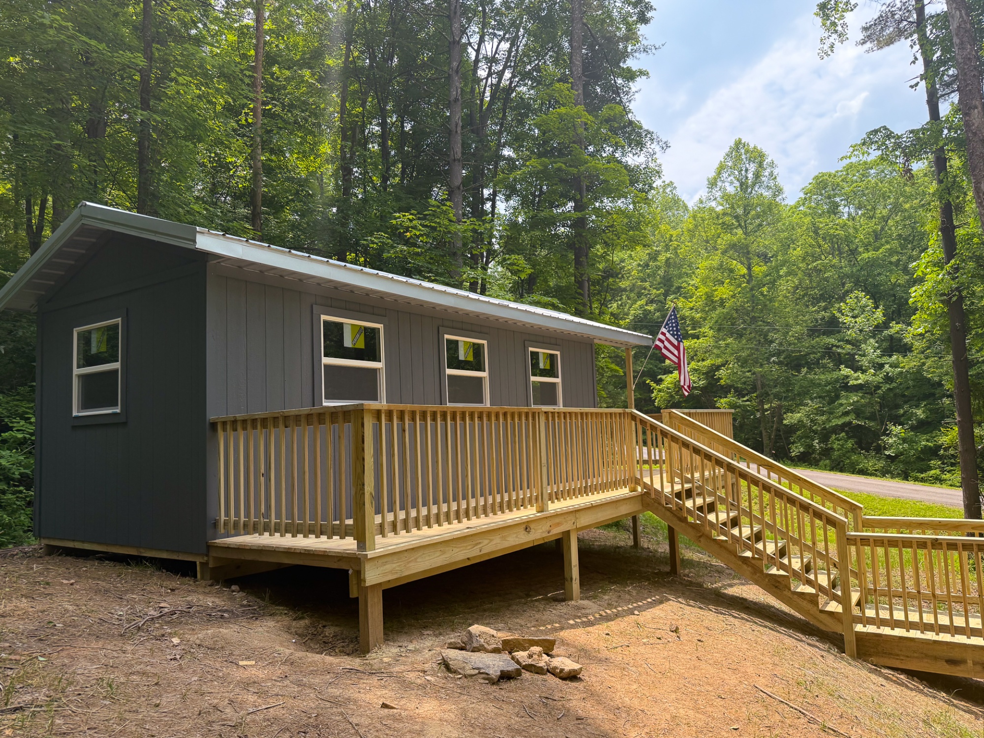
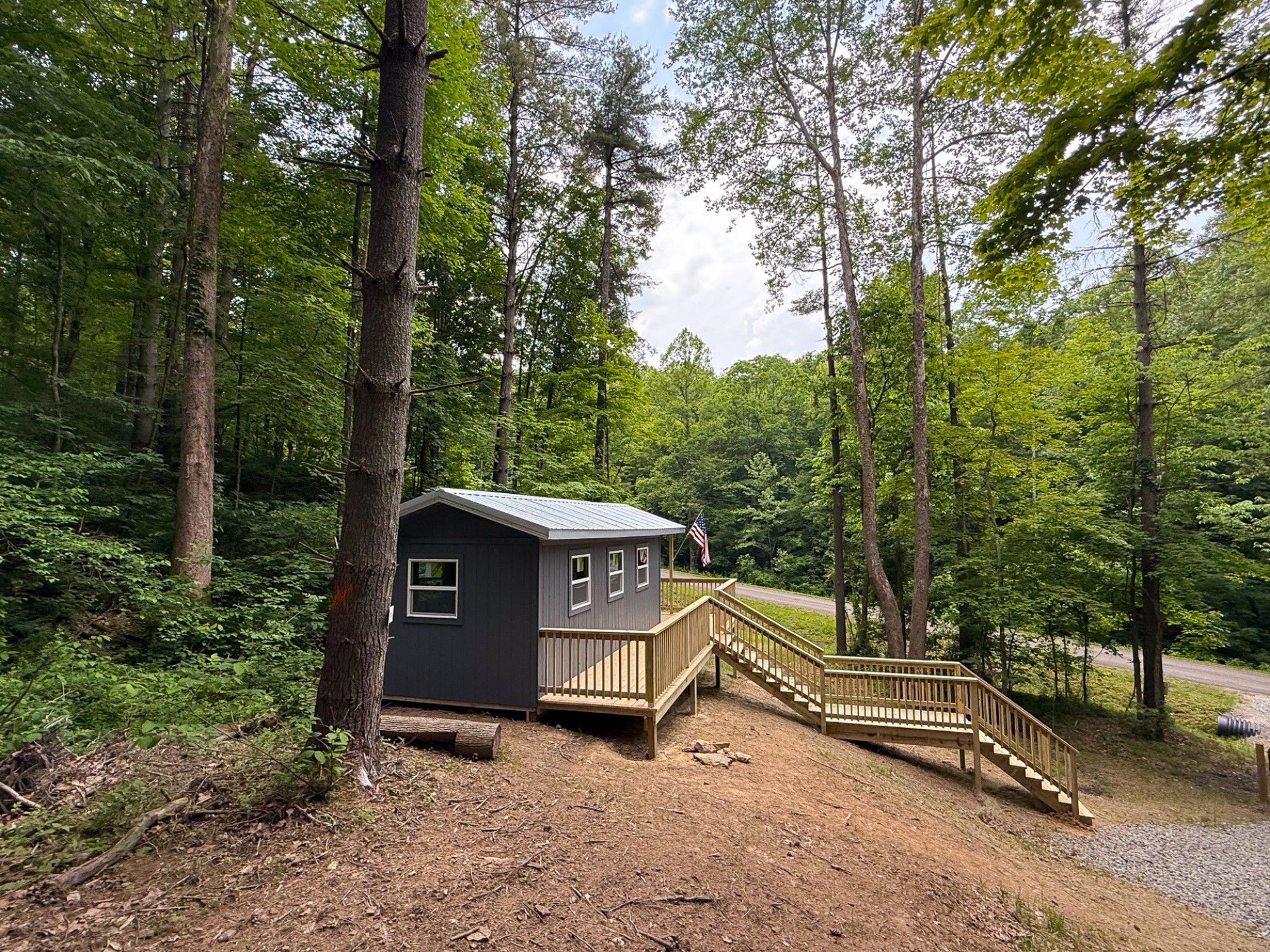
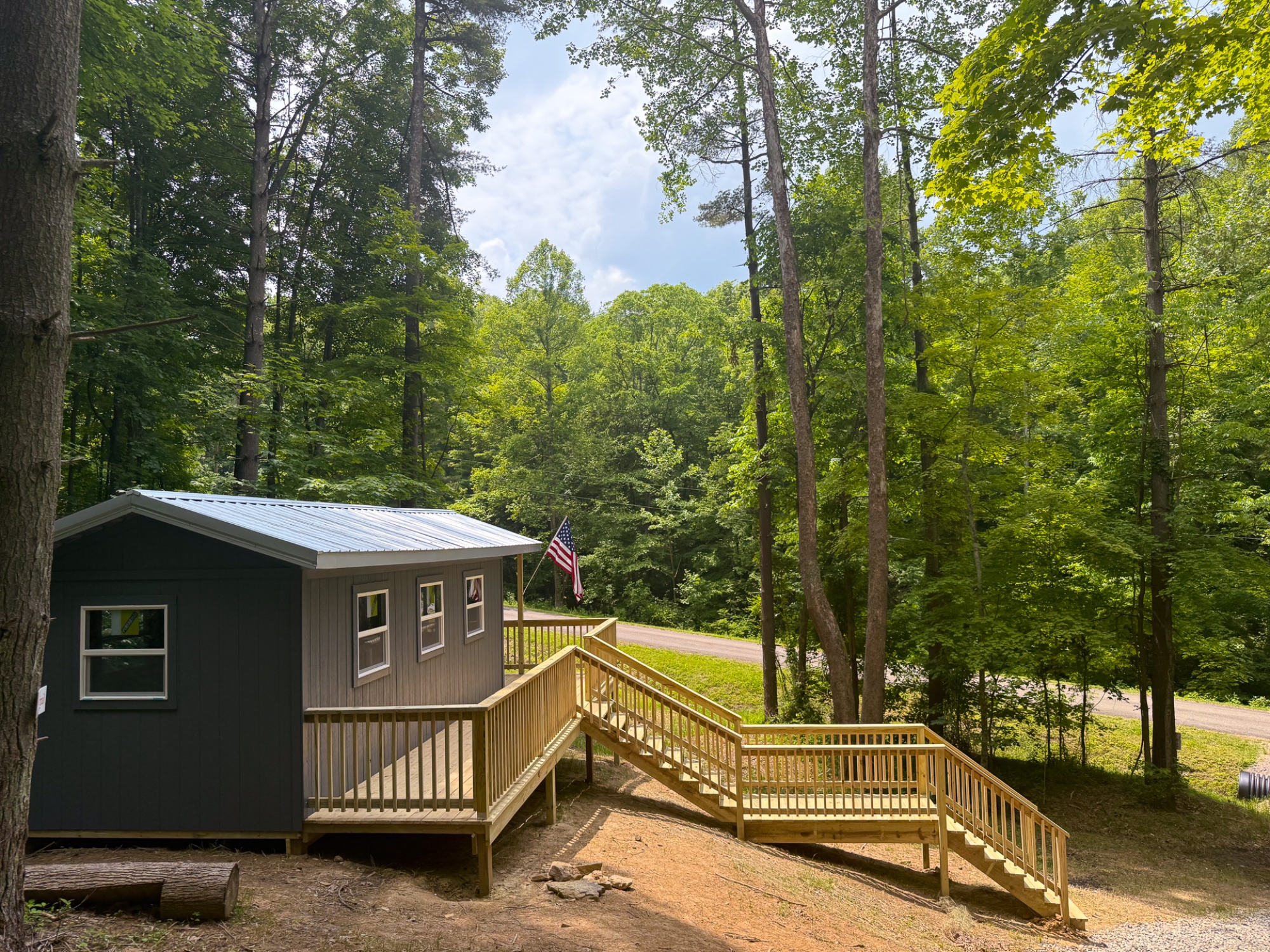
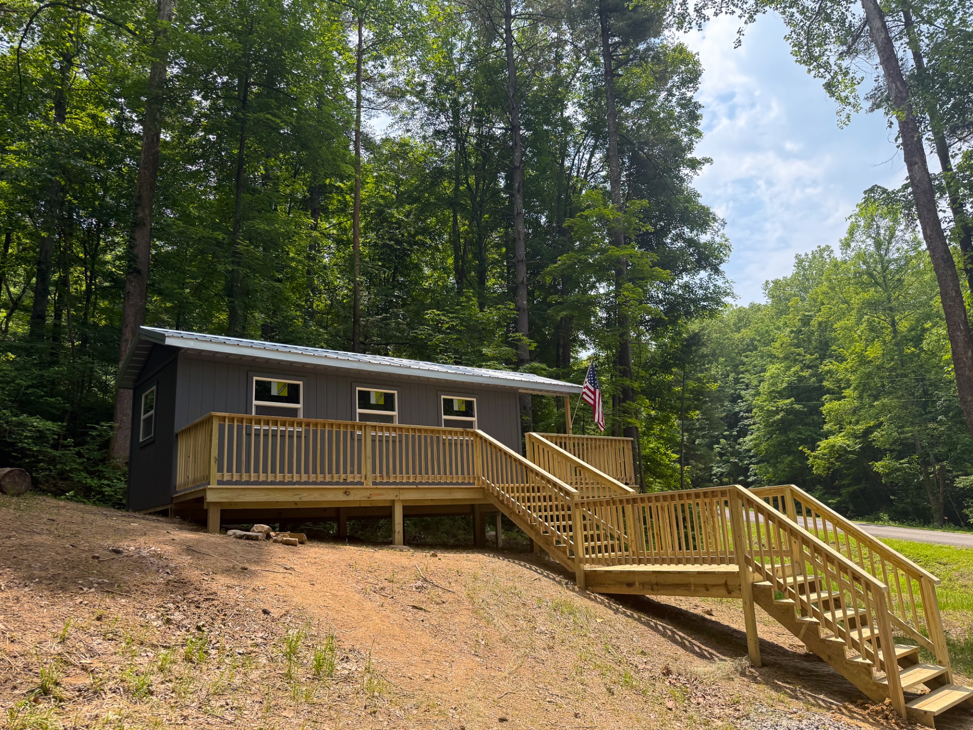
Property Description Great Value Cabin at Titus WoodsNewly Built 10’x24’ Cabin with 6’ wide Covered Porch
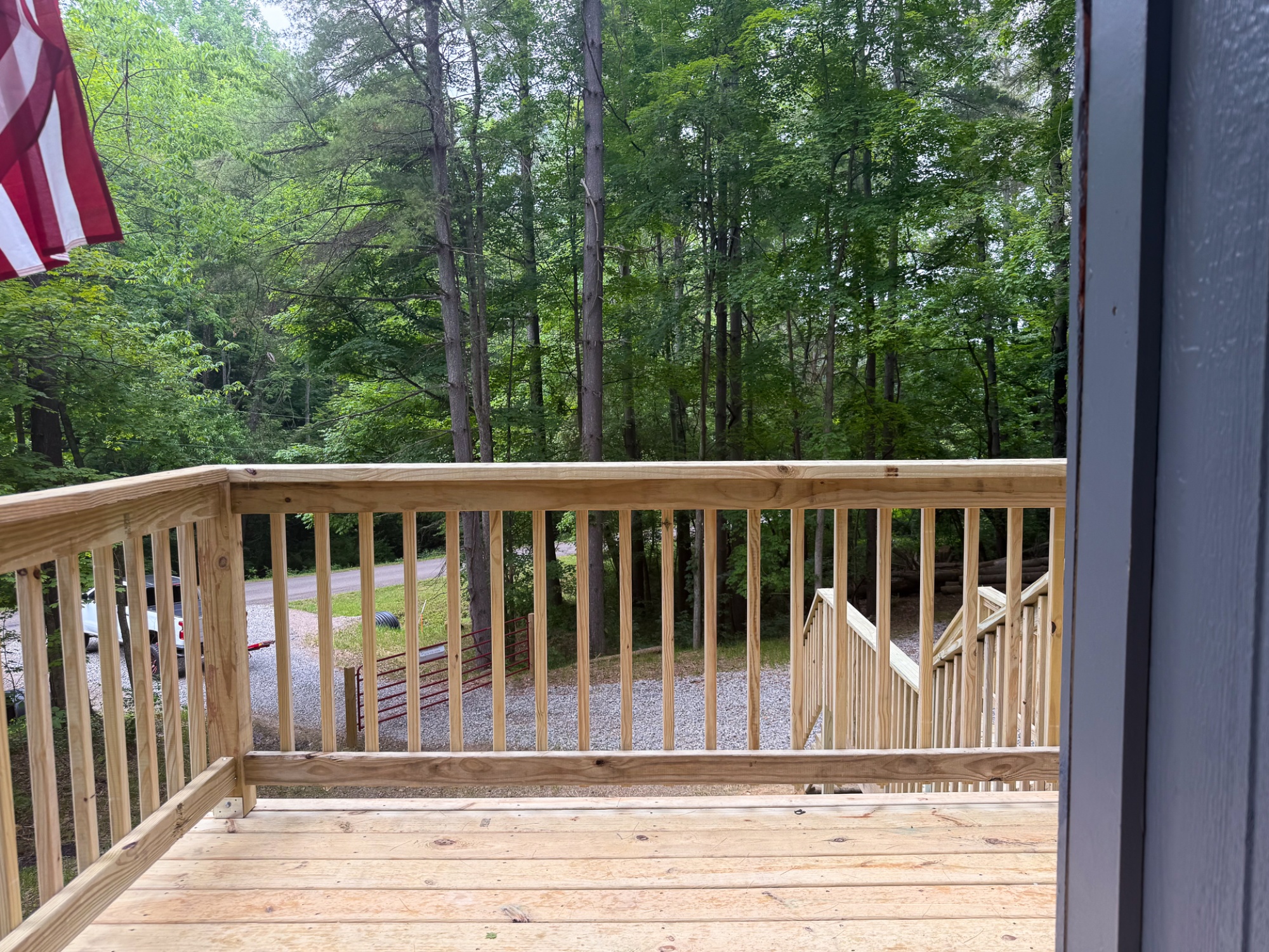
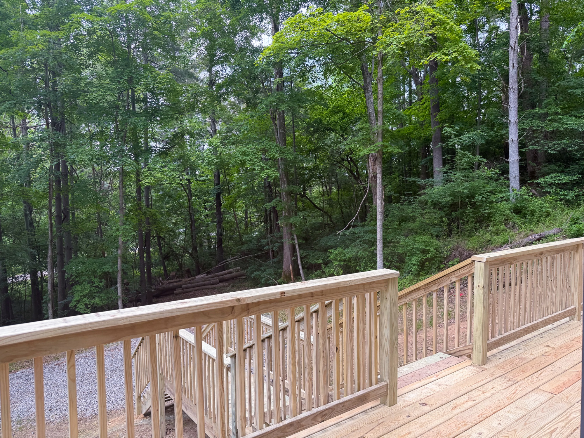
6’x30’ Side Deck and Expansive Staircase Giving Stunning Views
Beautiful Remote County Setting
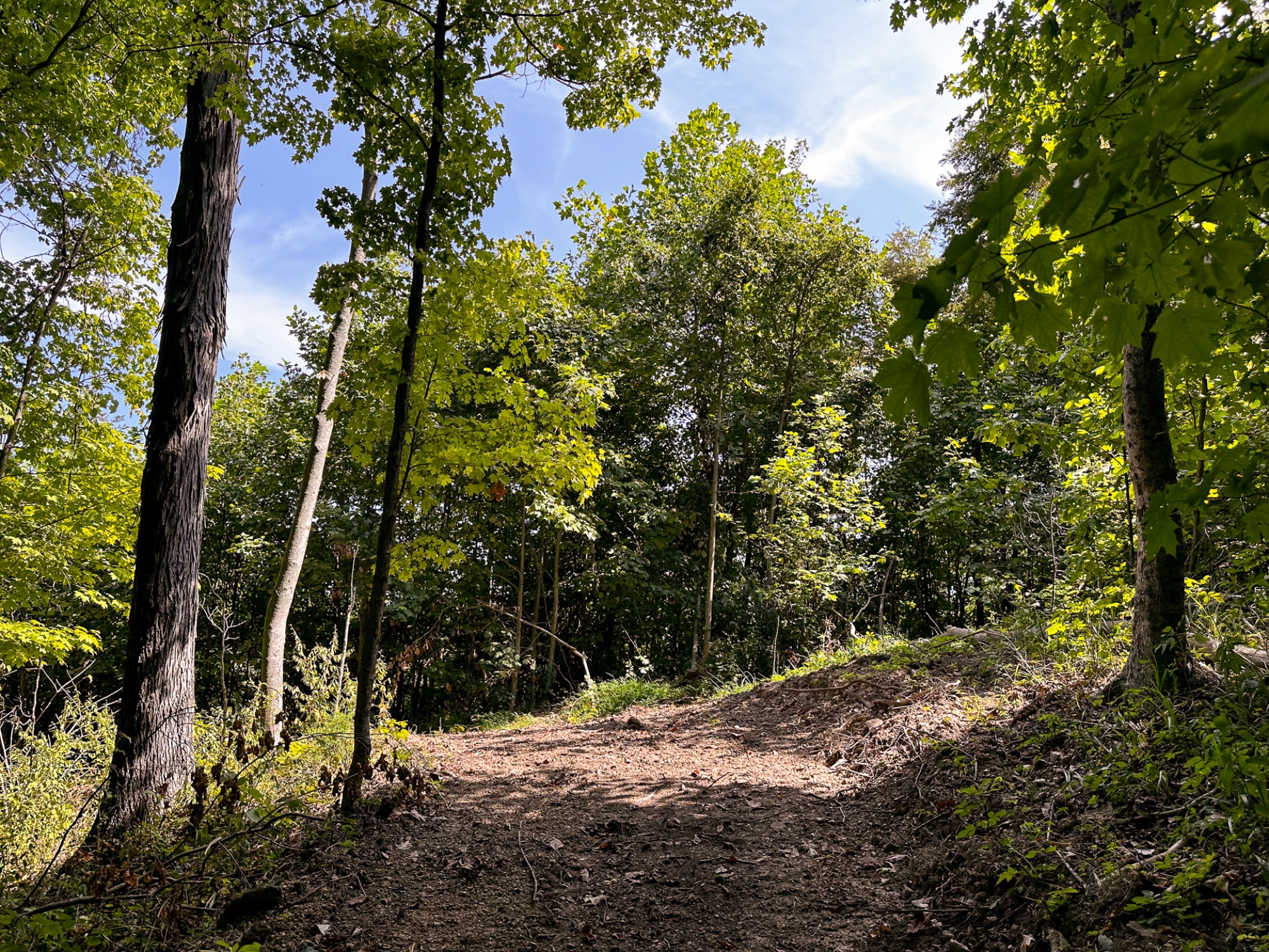
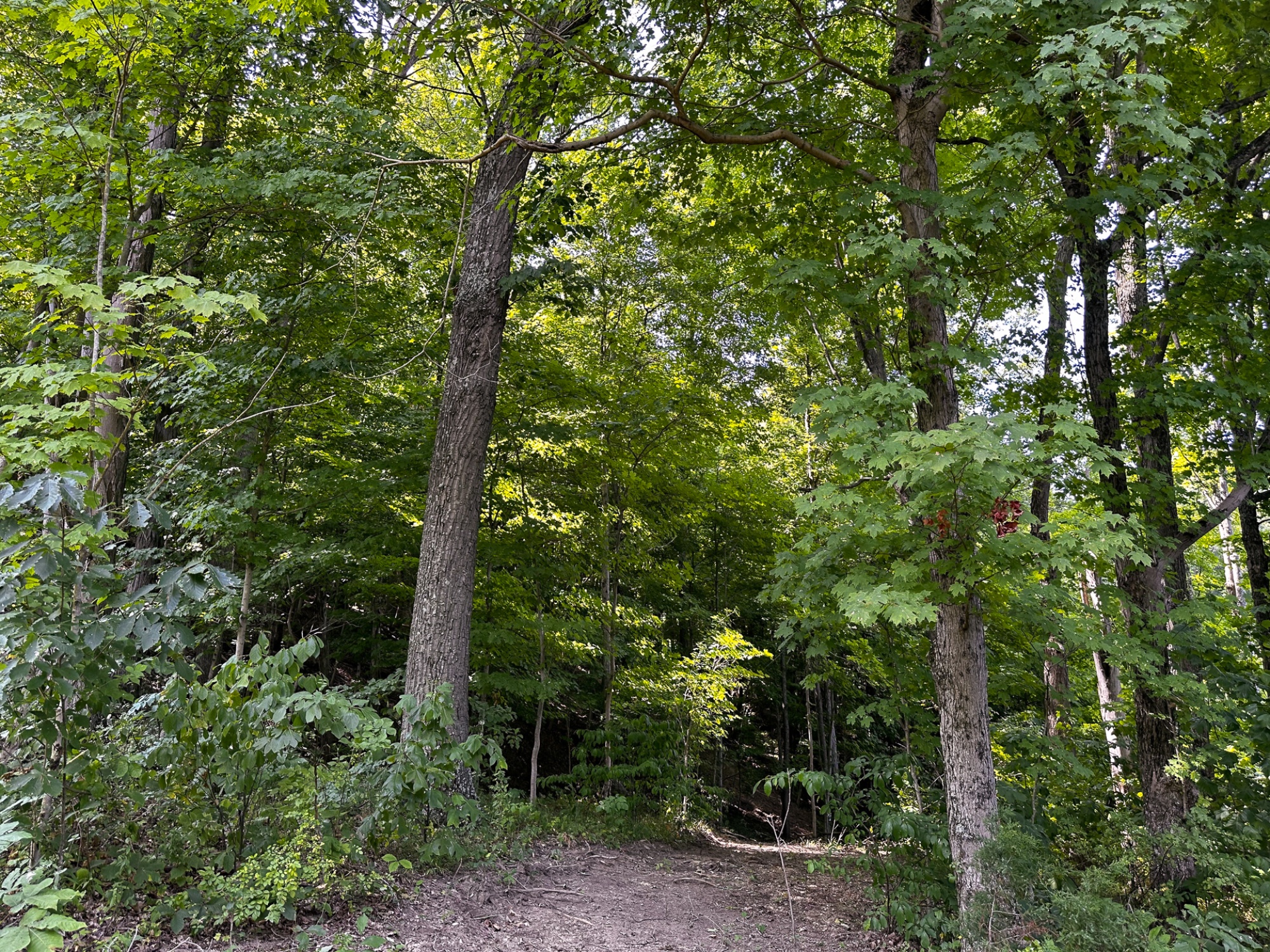
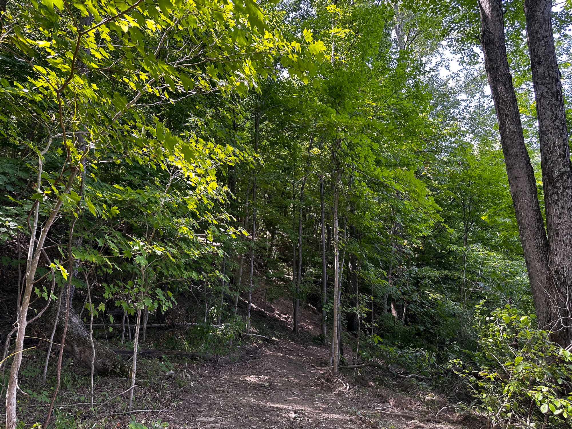
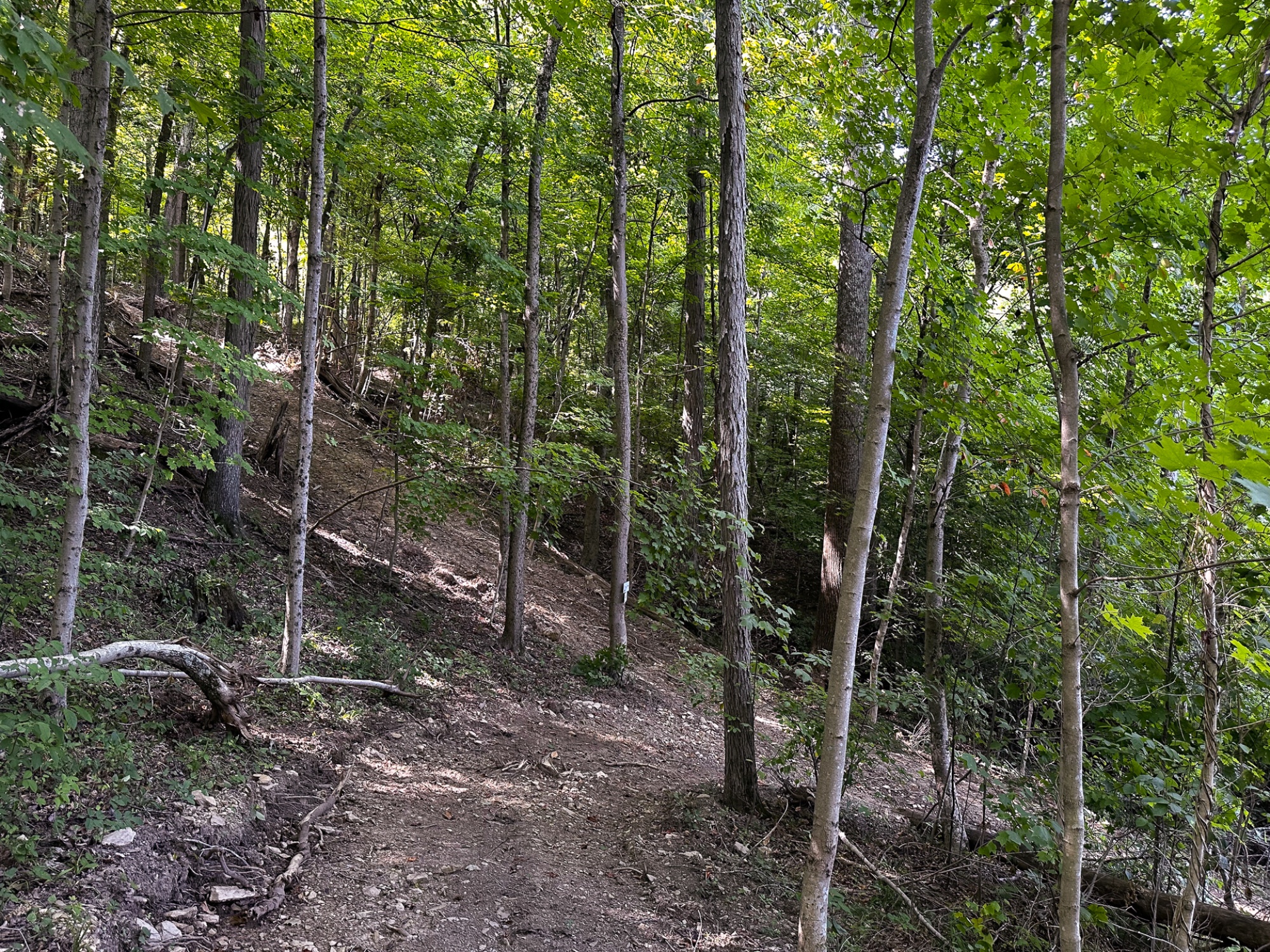
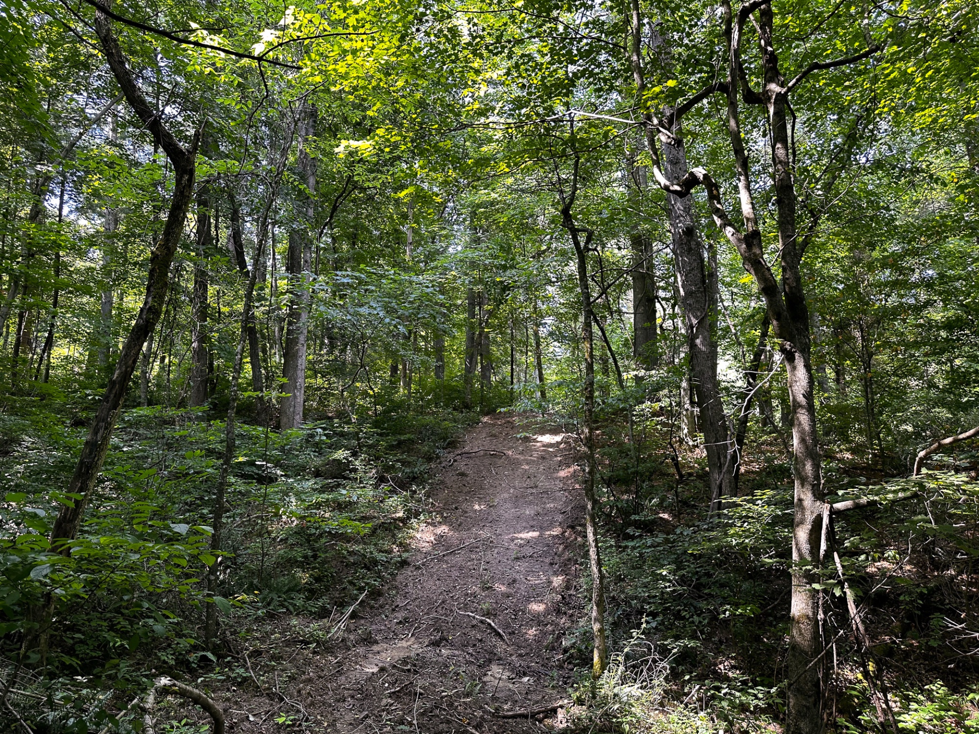
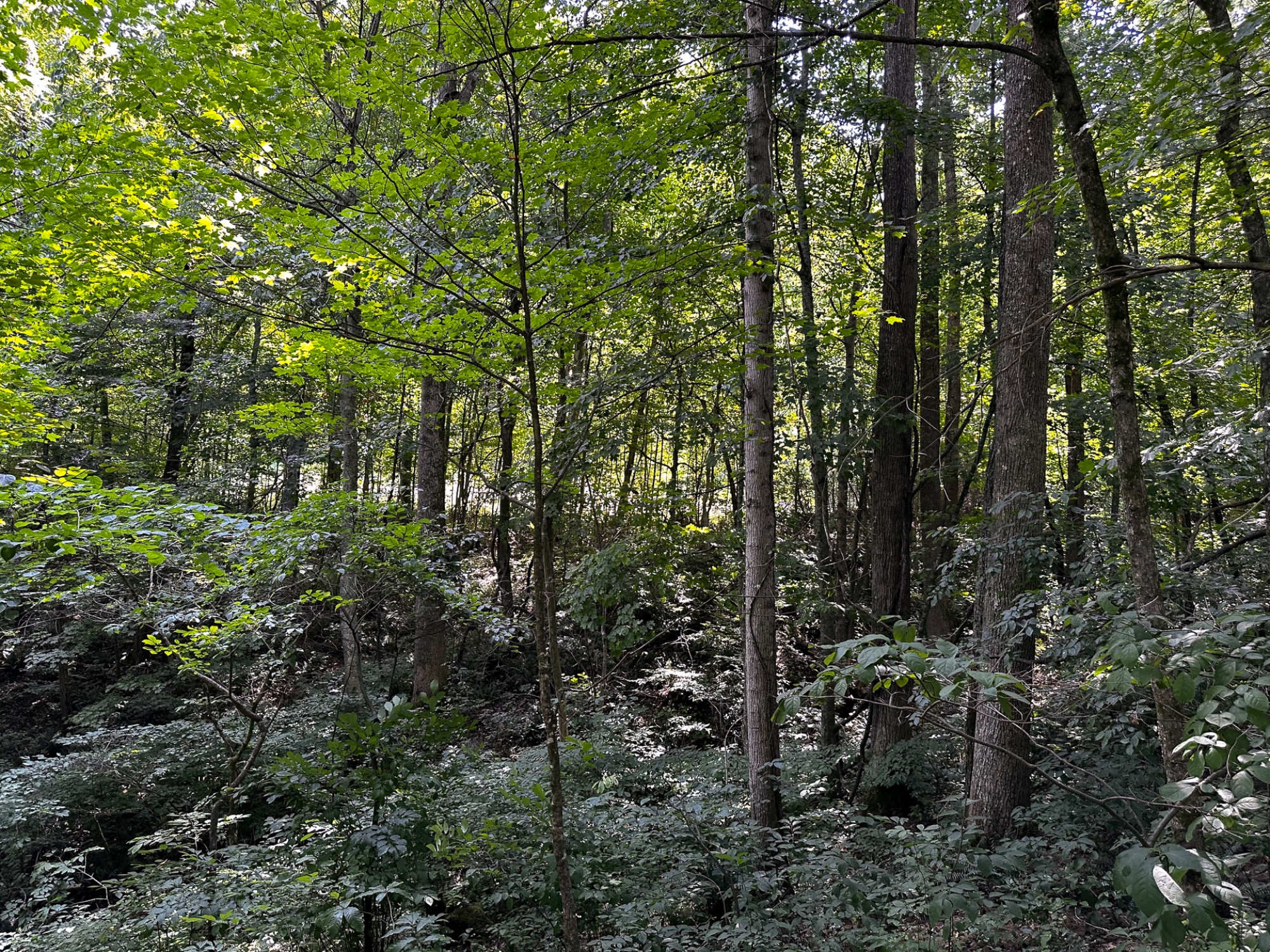
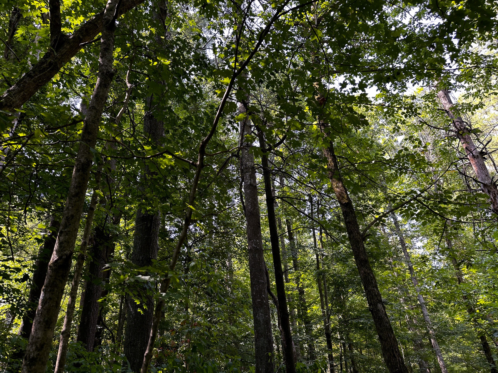
Picturesque Wooded Recreational Retreat
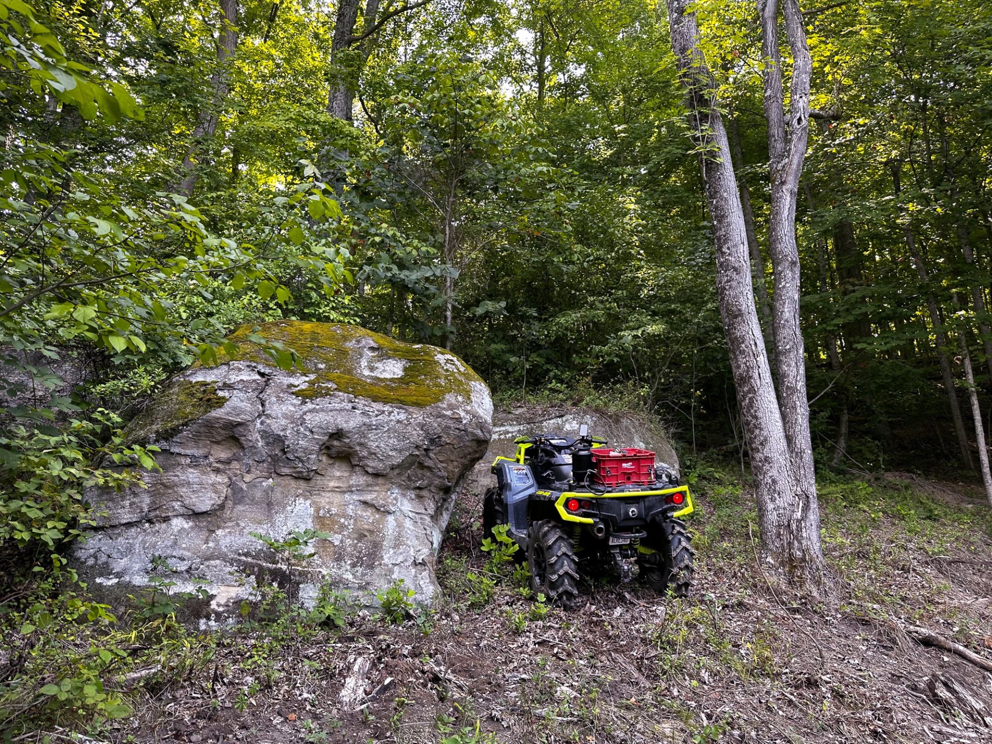
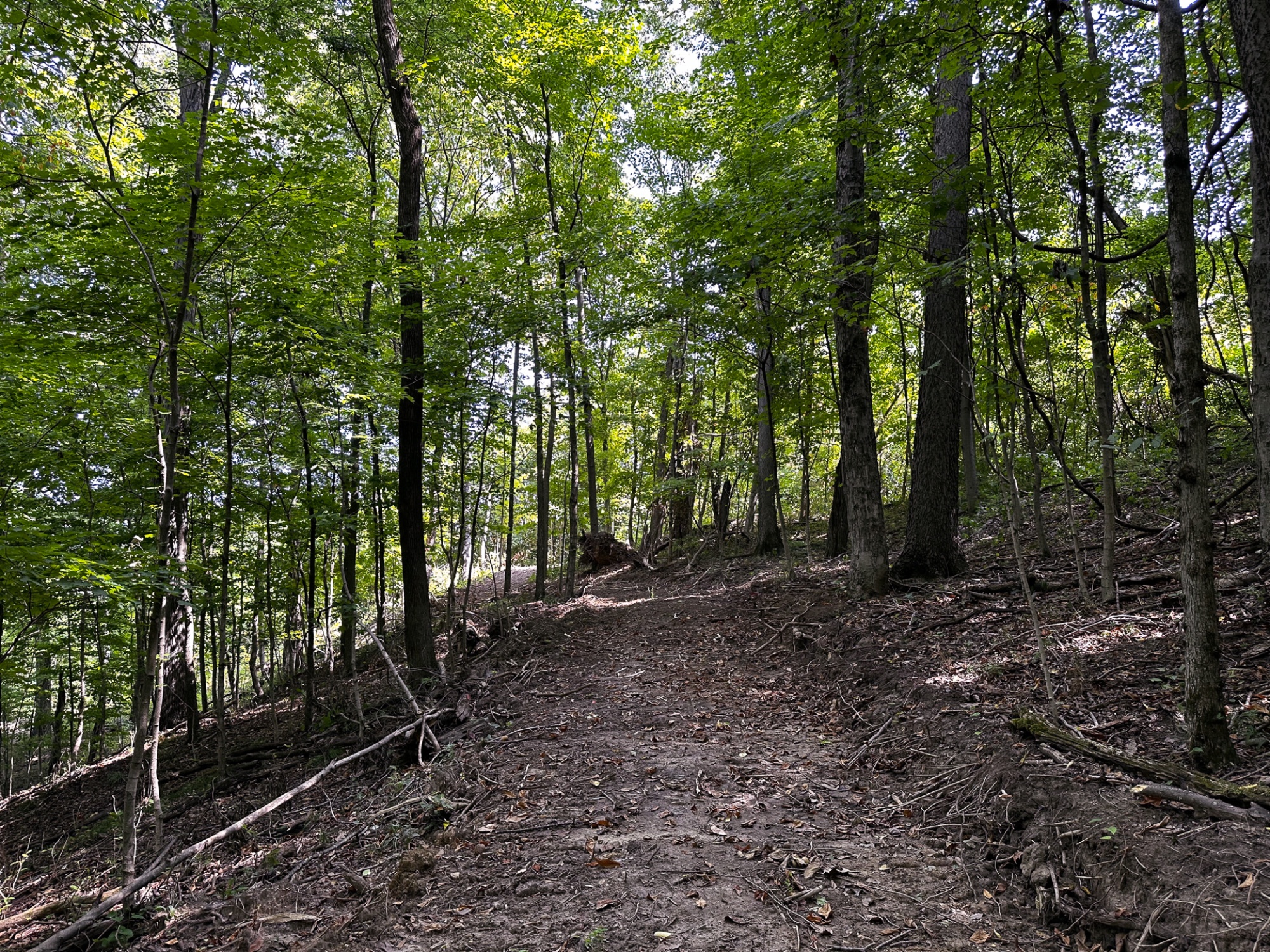
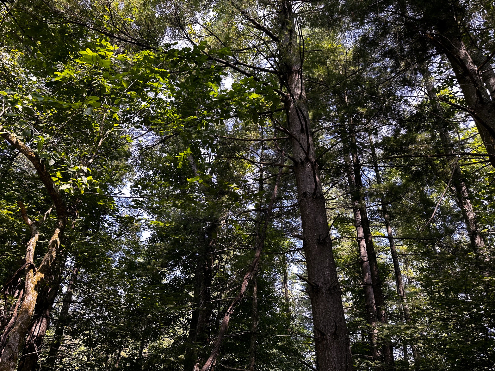
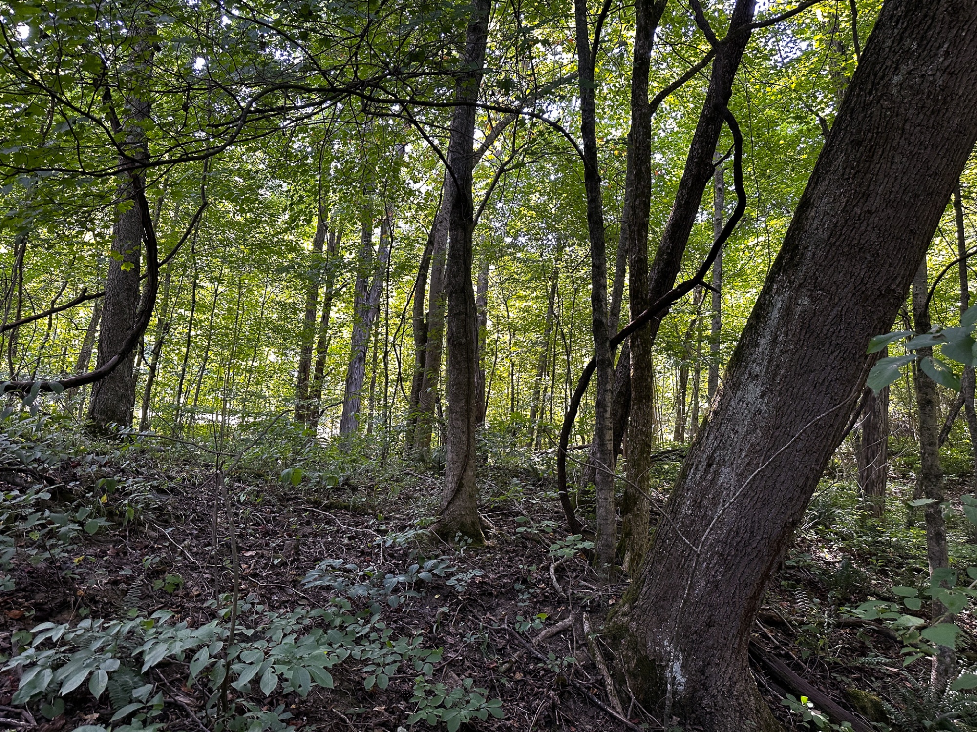
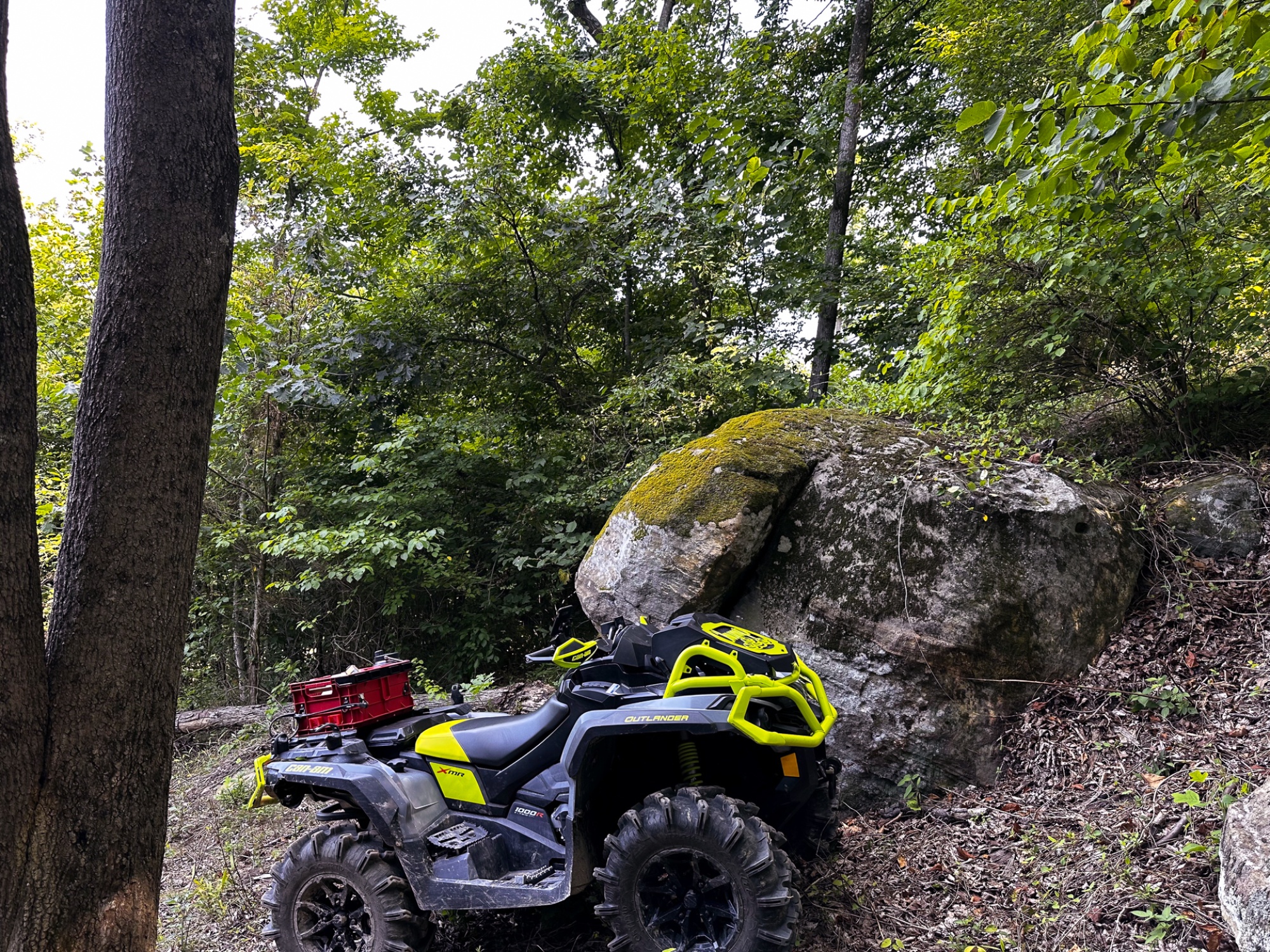
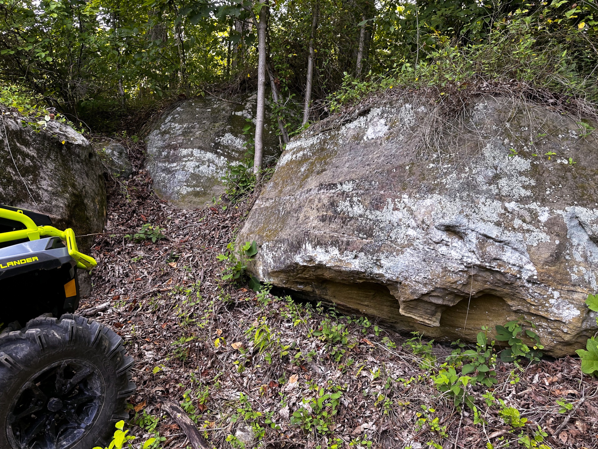
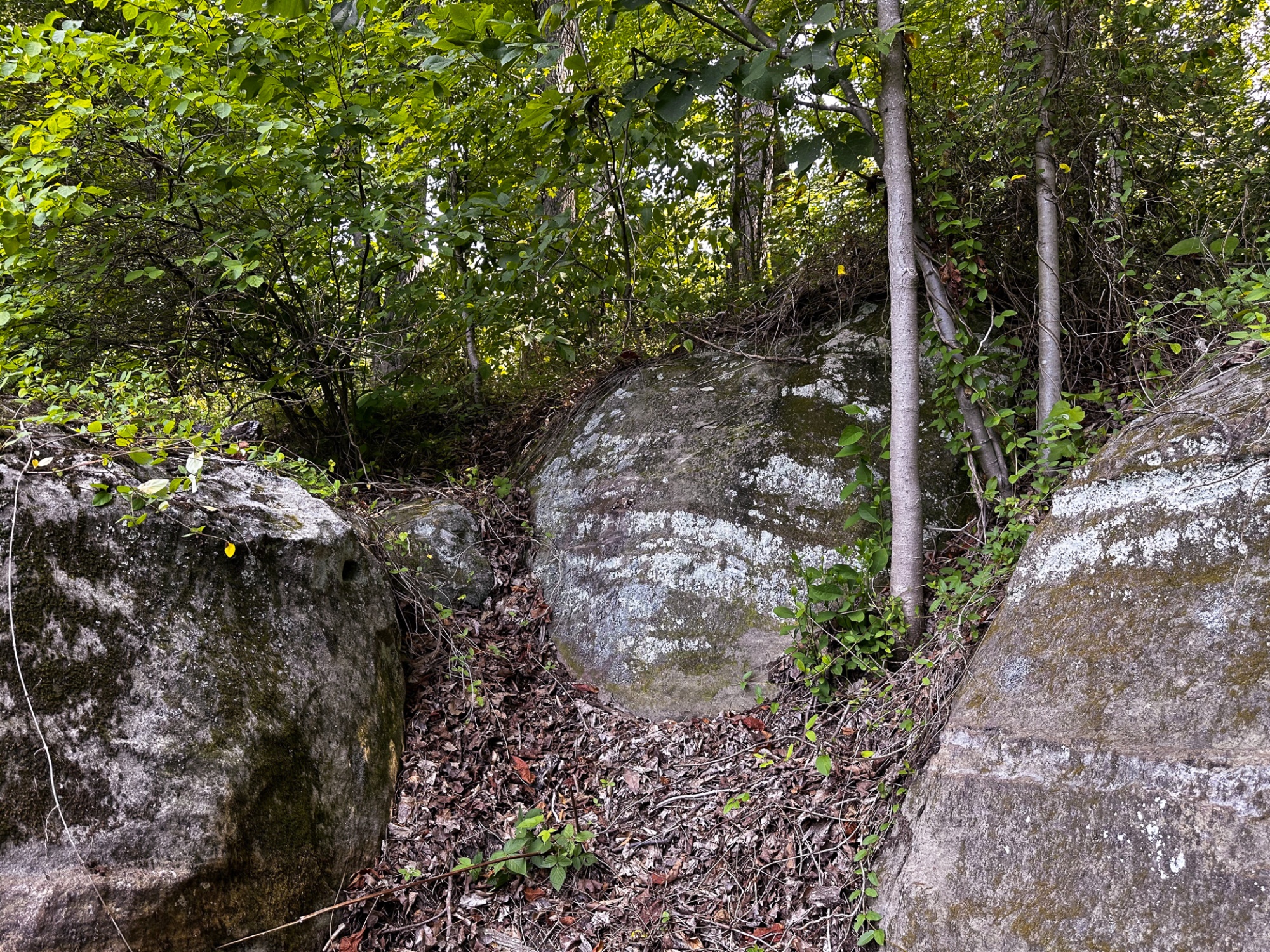
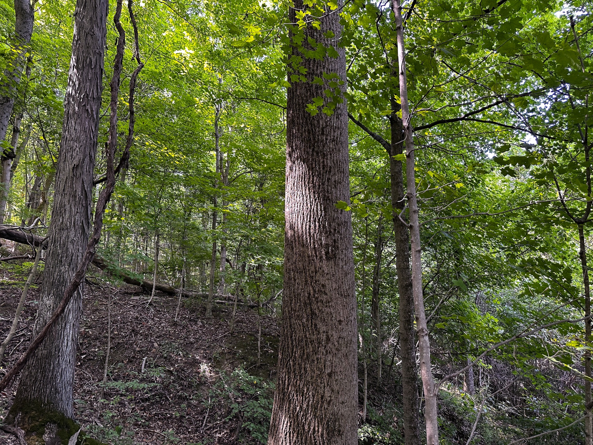
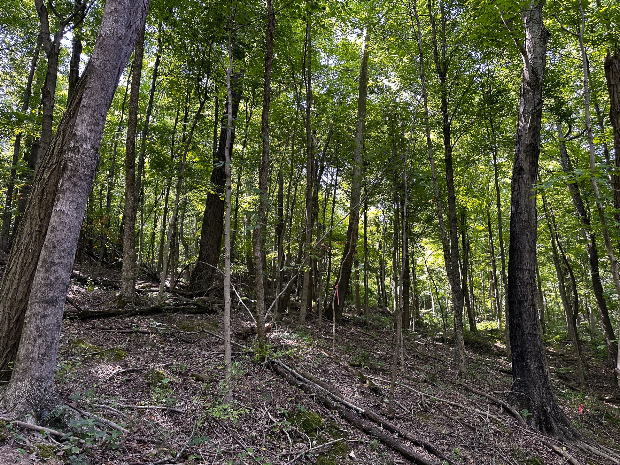
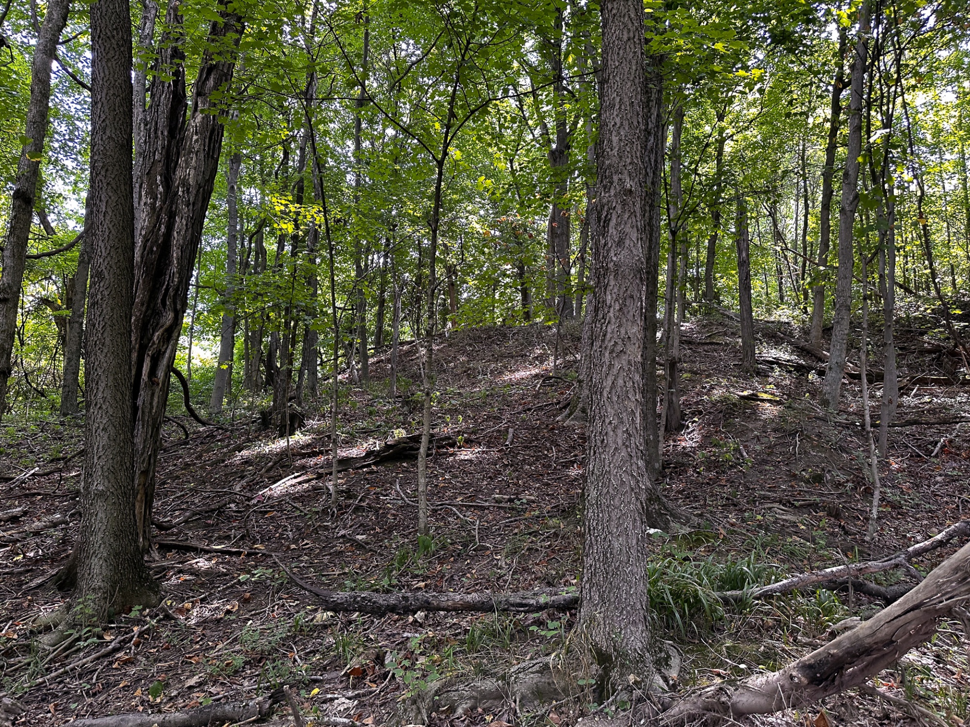
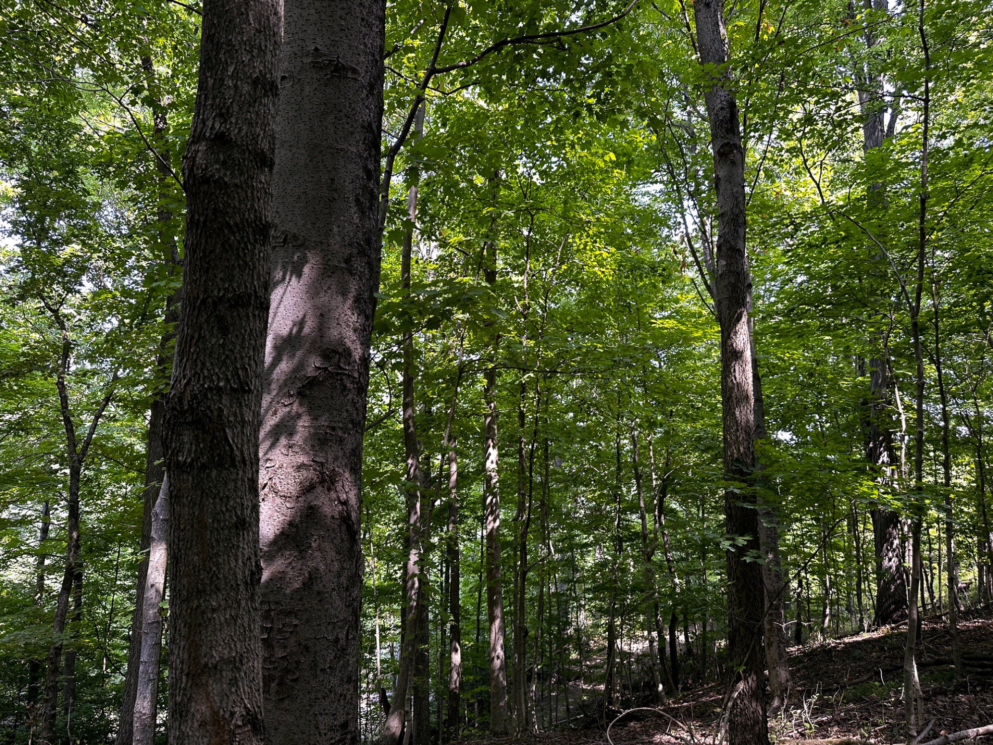
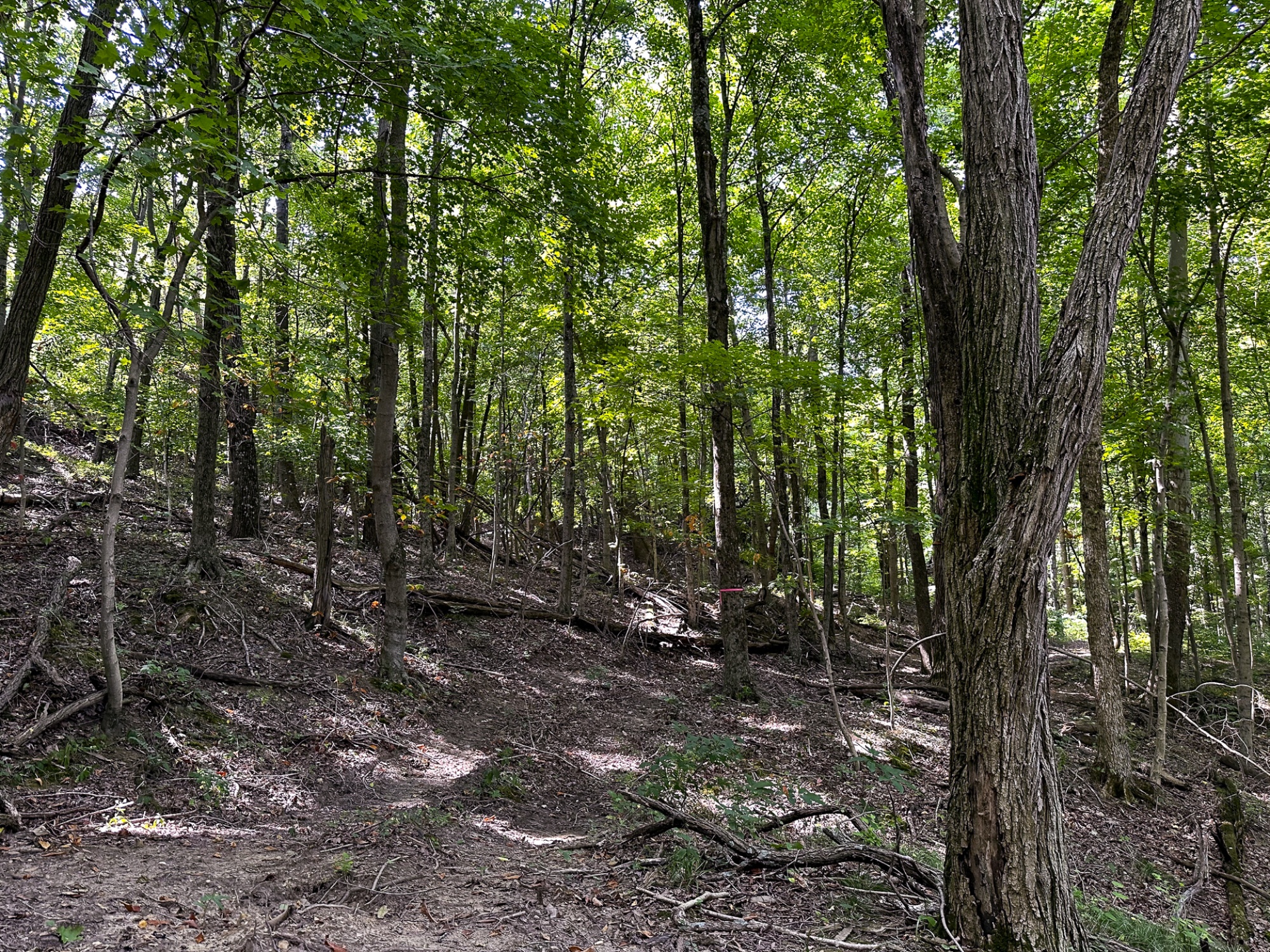
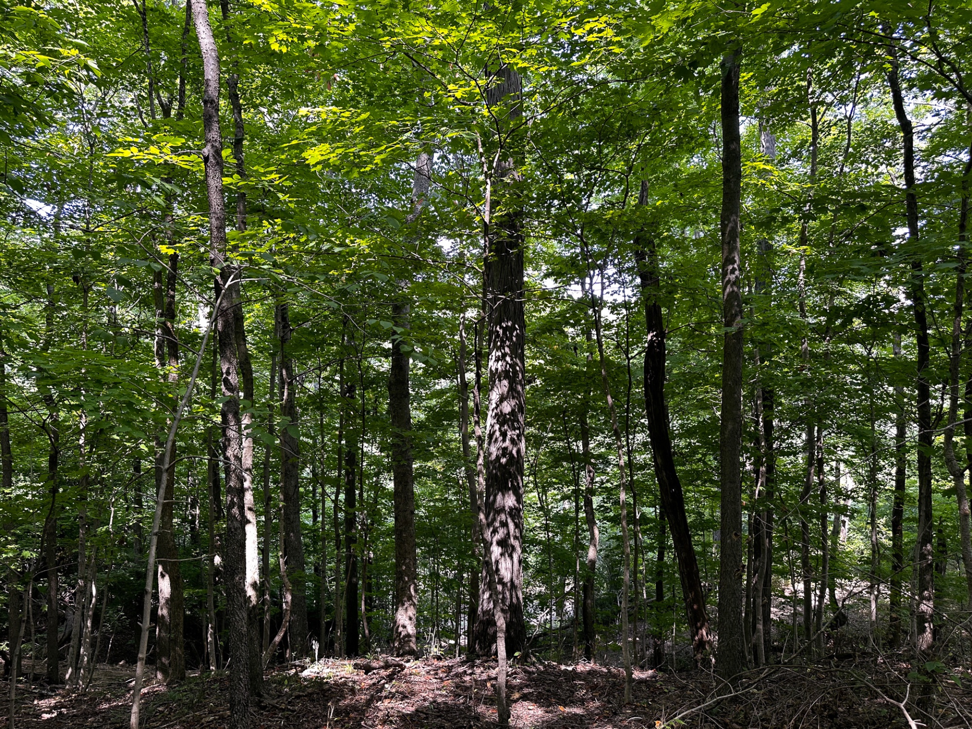
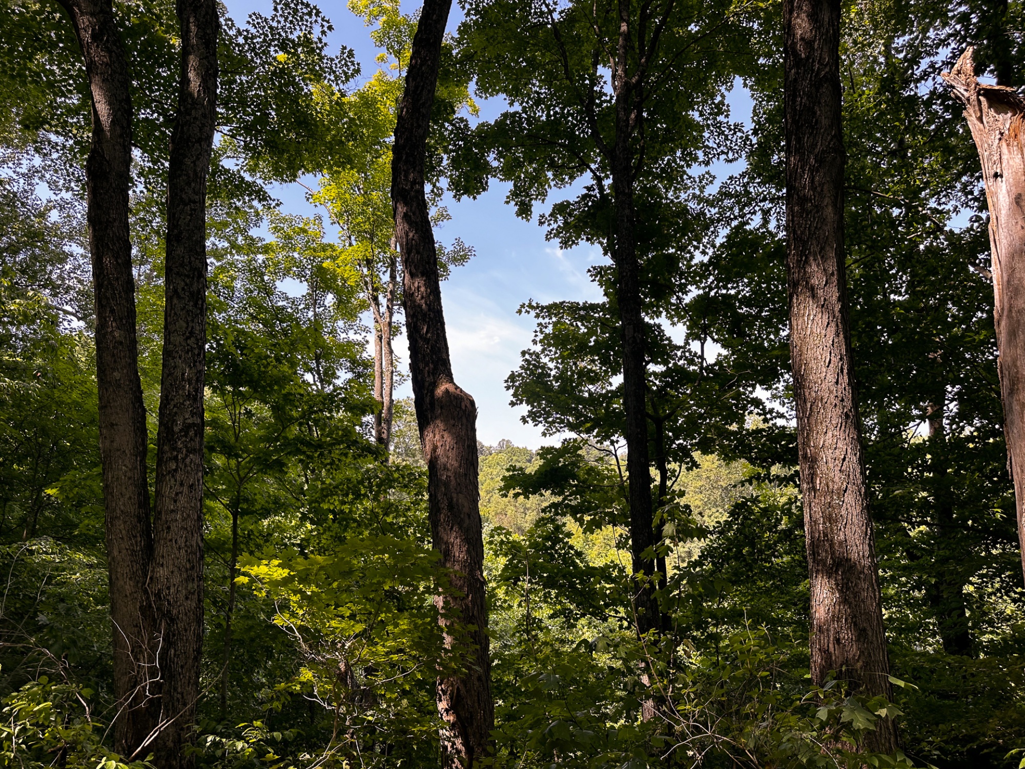
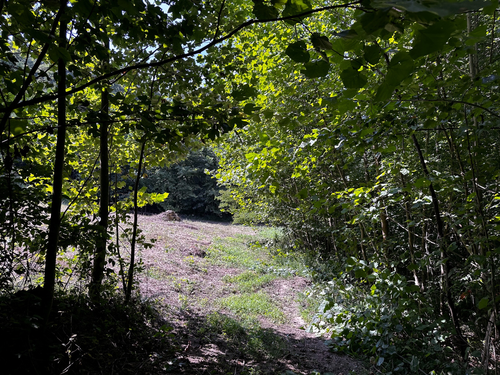
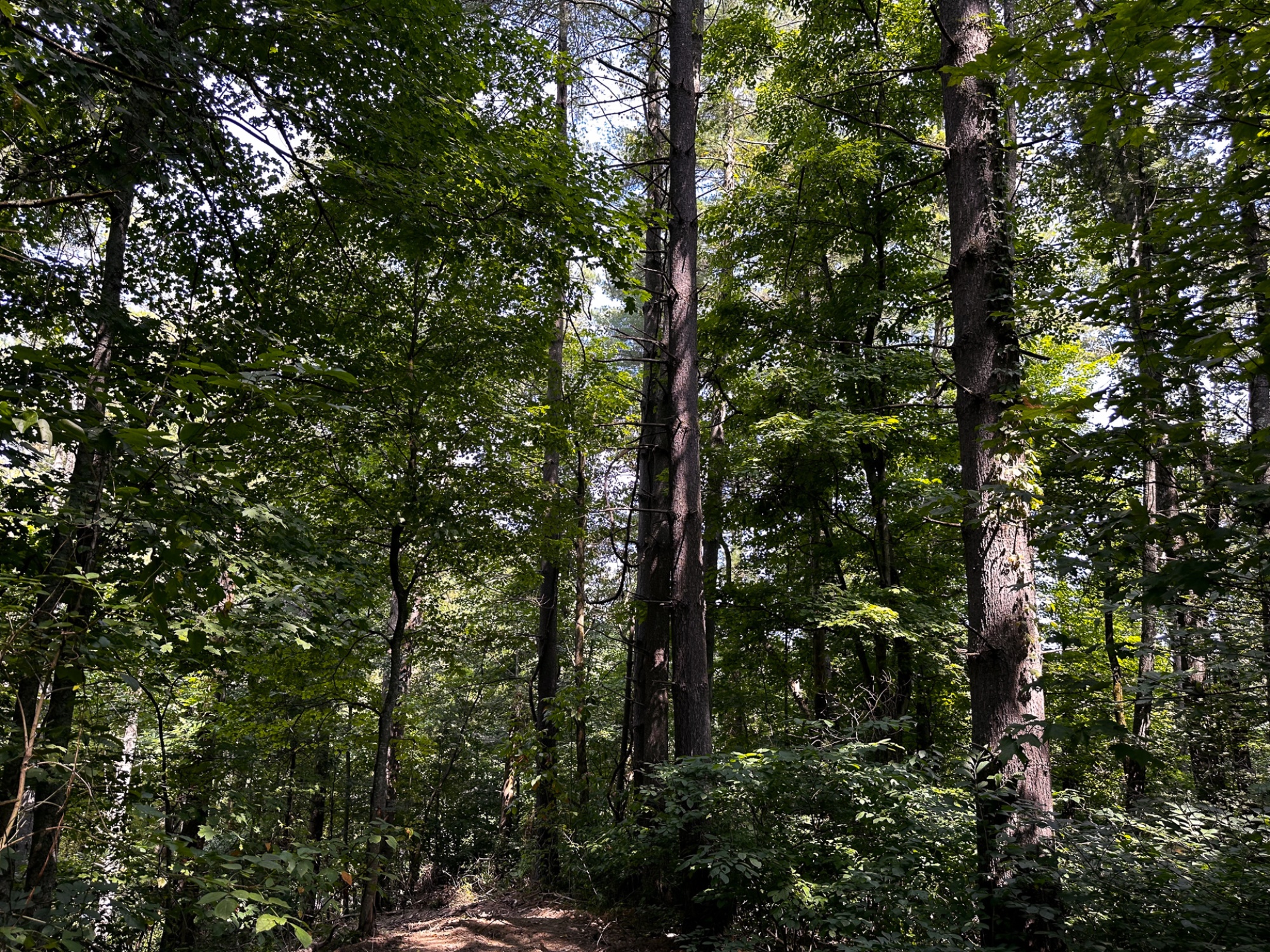
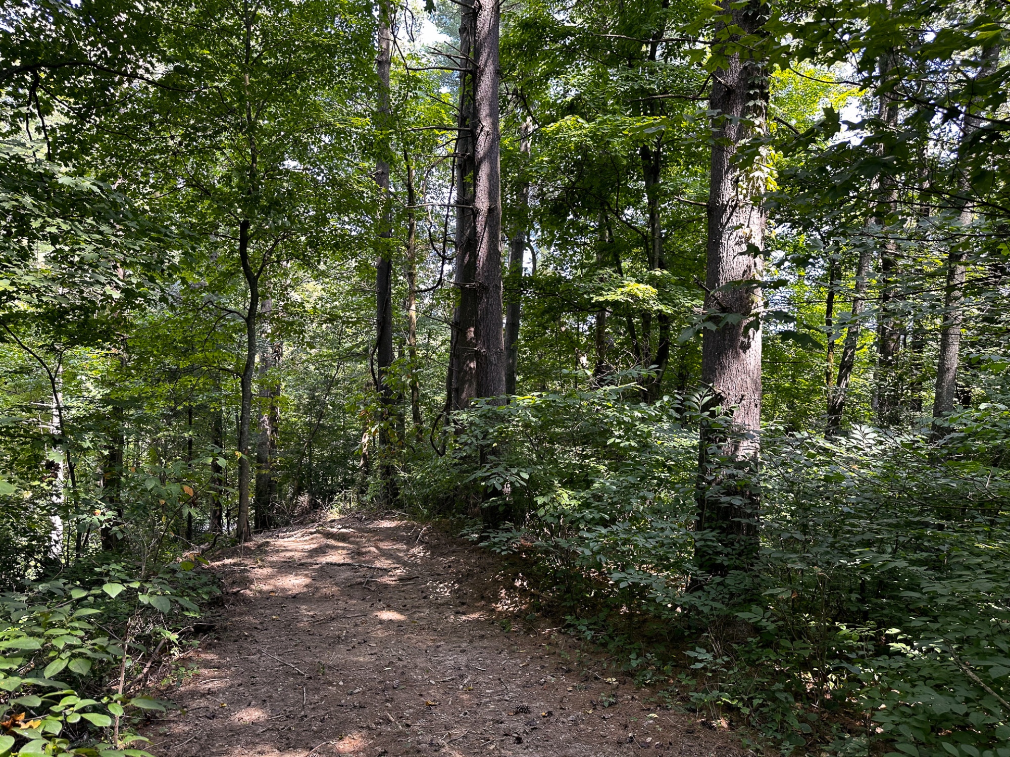
Beautiful Mature Open Canopy Woods with Rock Features
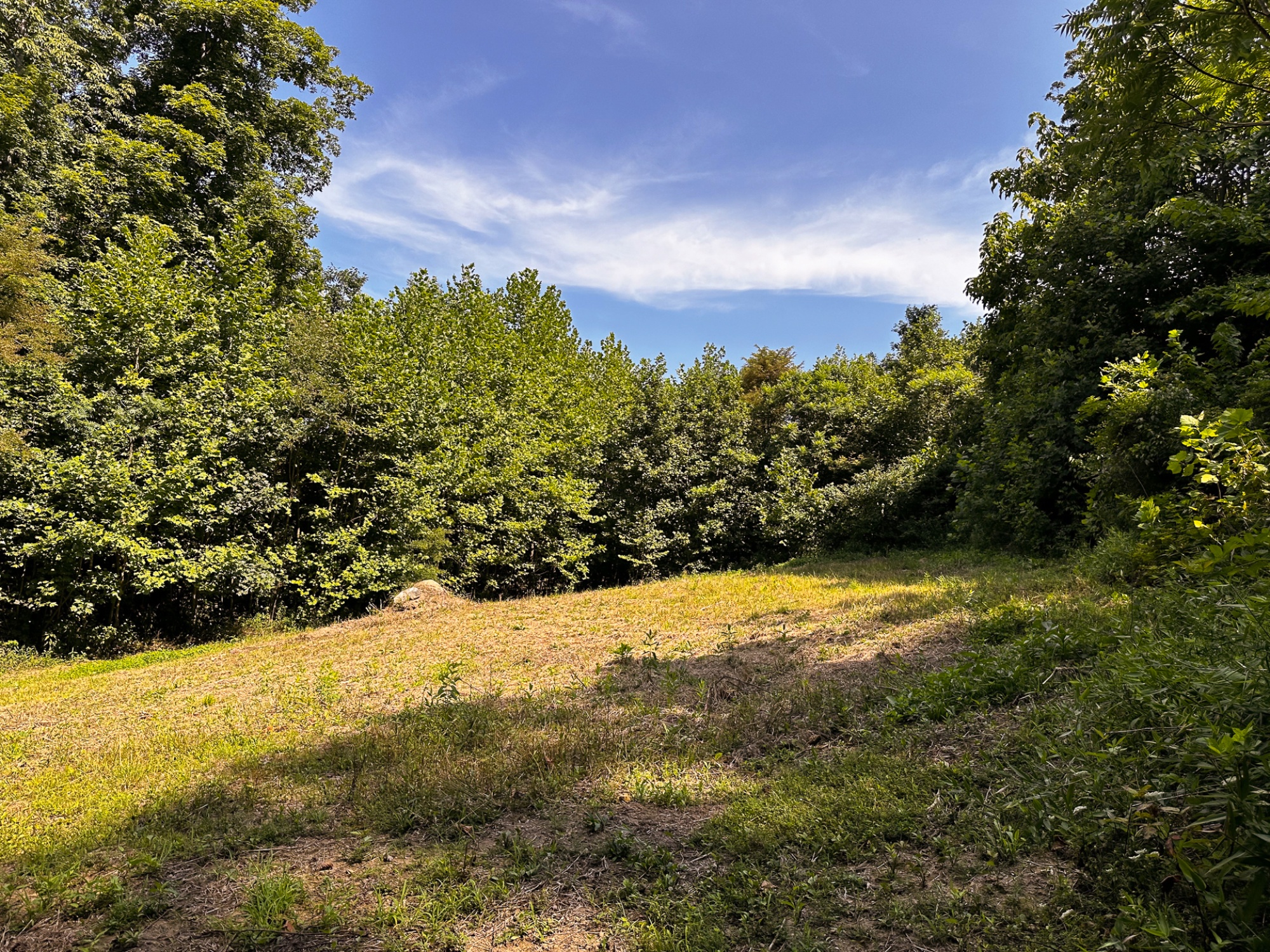
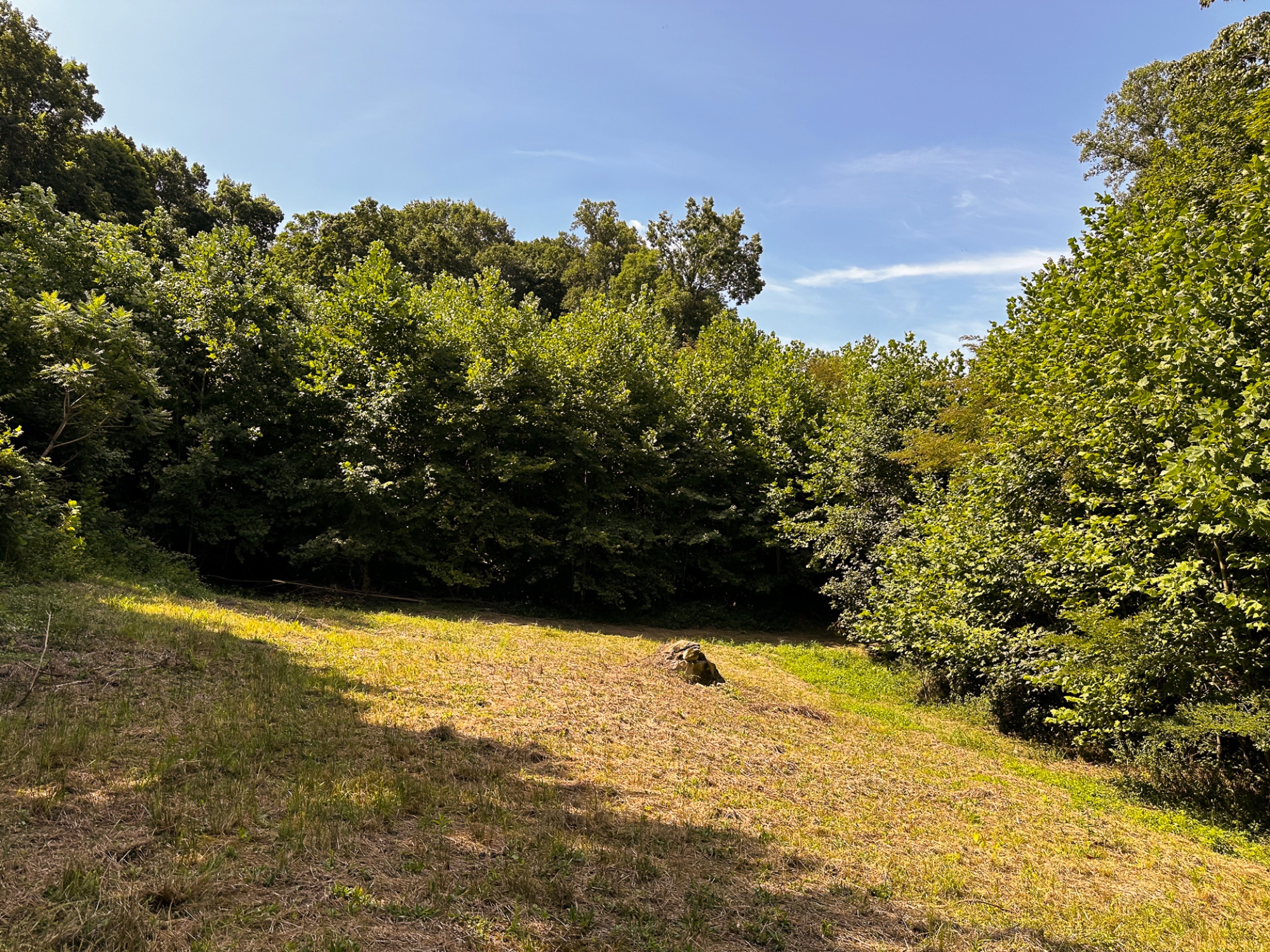
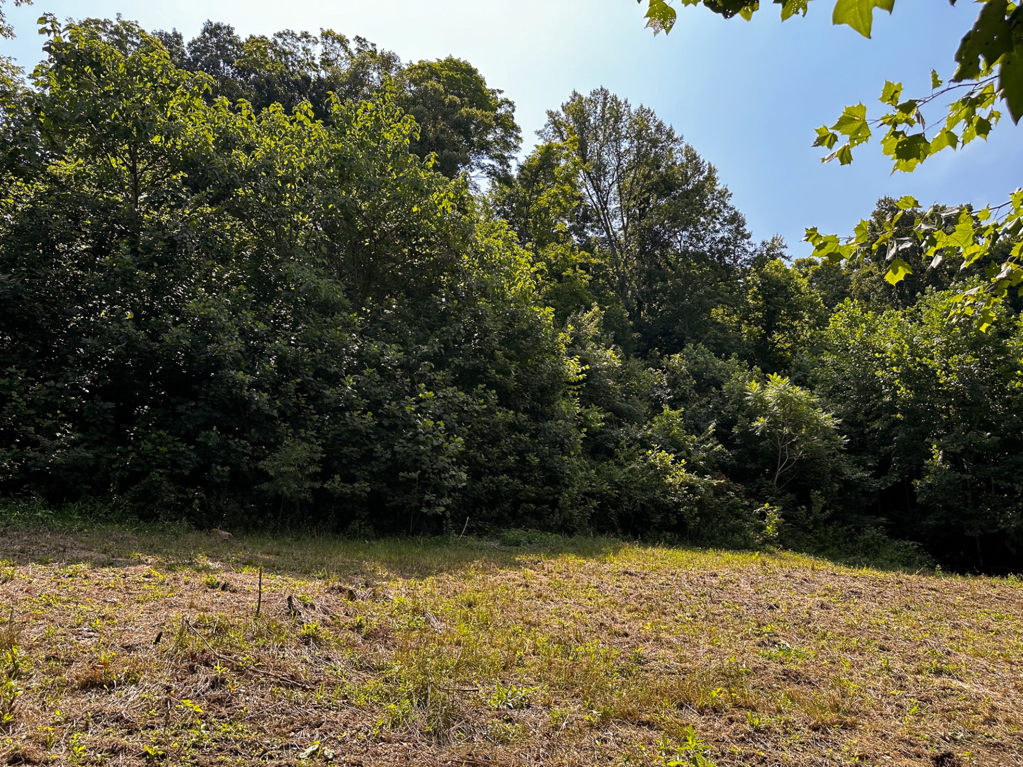
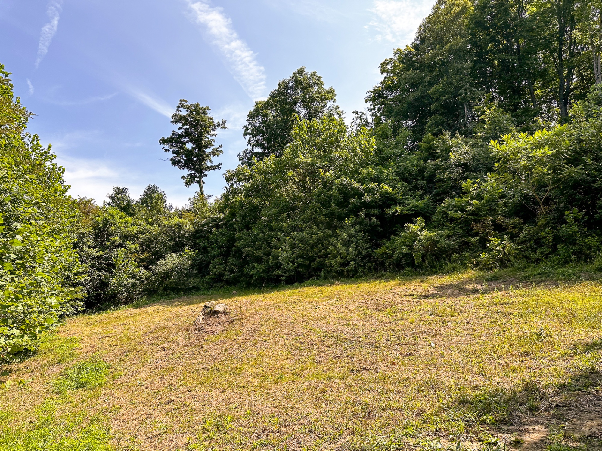
Private Meadow in the Center of the Property
Gently Sloping Terrain, with Stunning Views
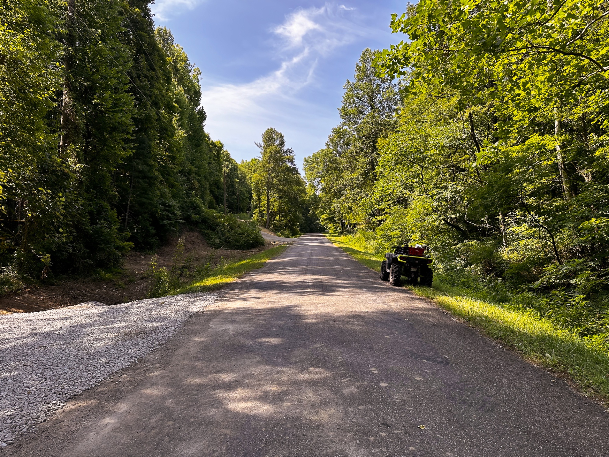
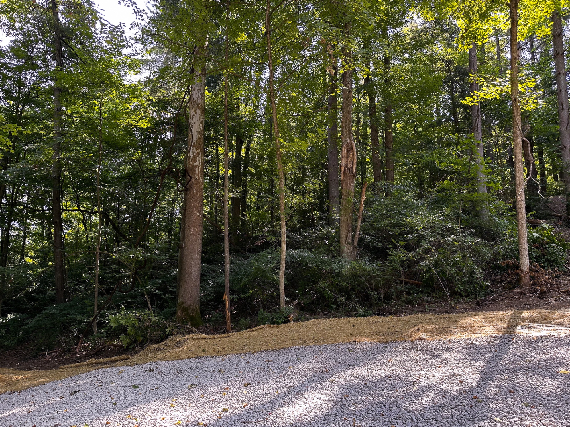
New Gated Gravel Driveway with Paved Road Frontage
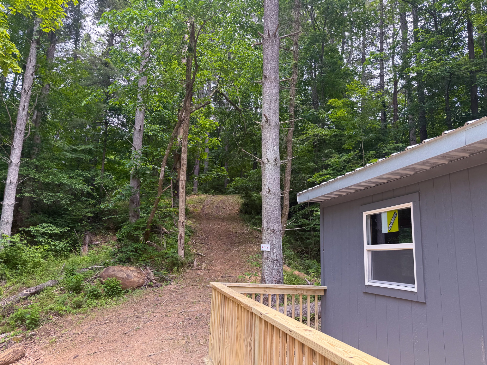
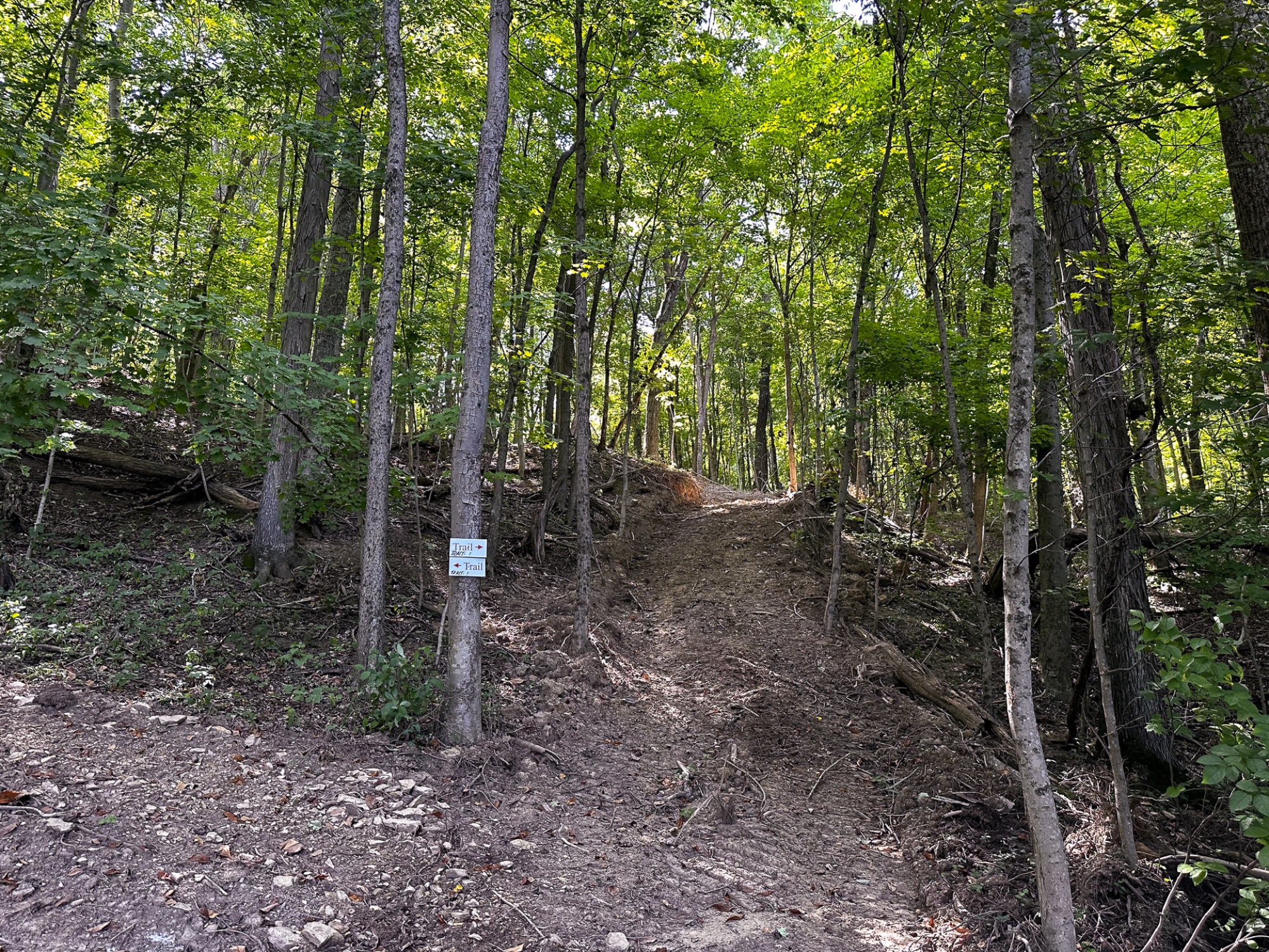
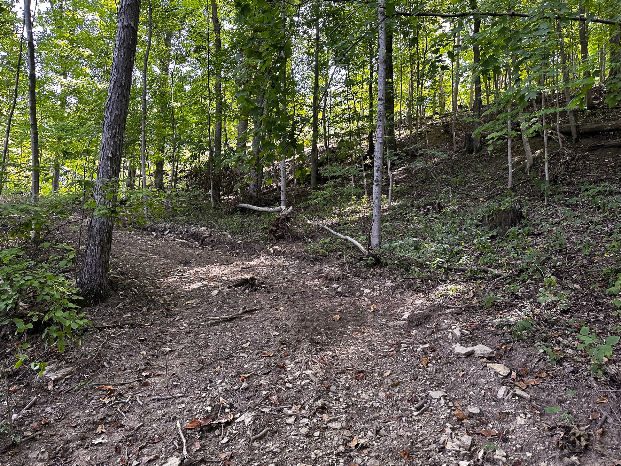
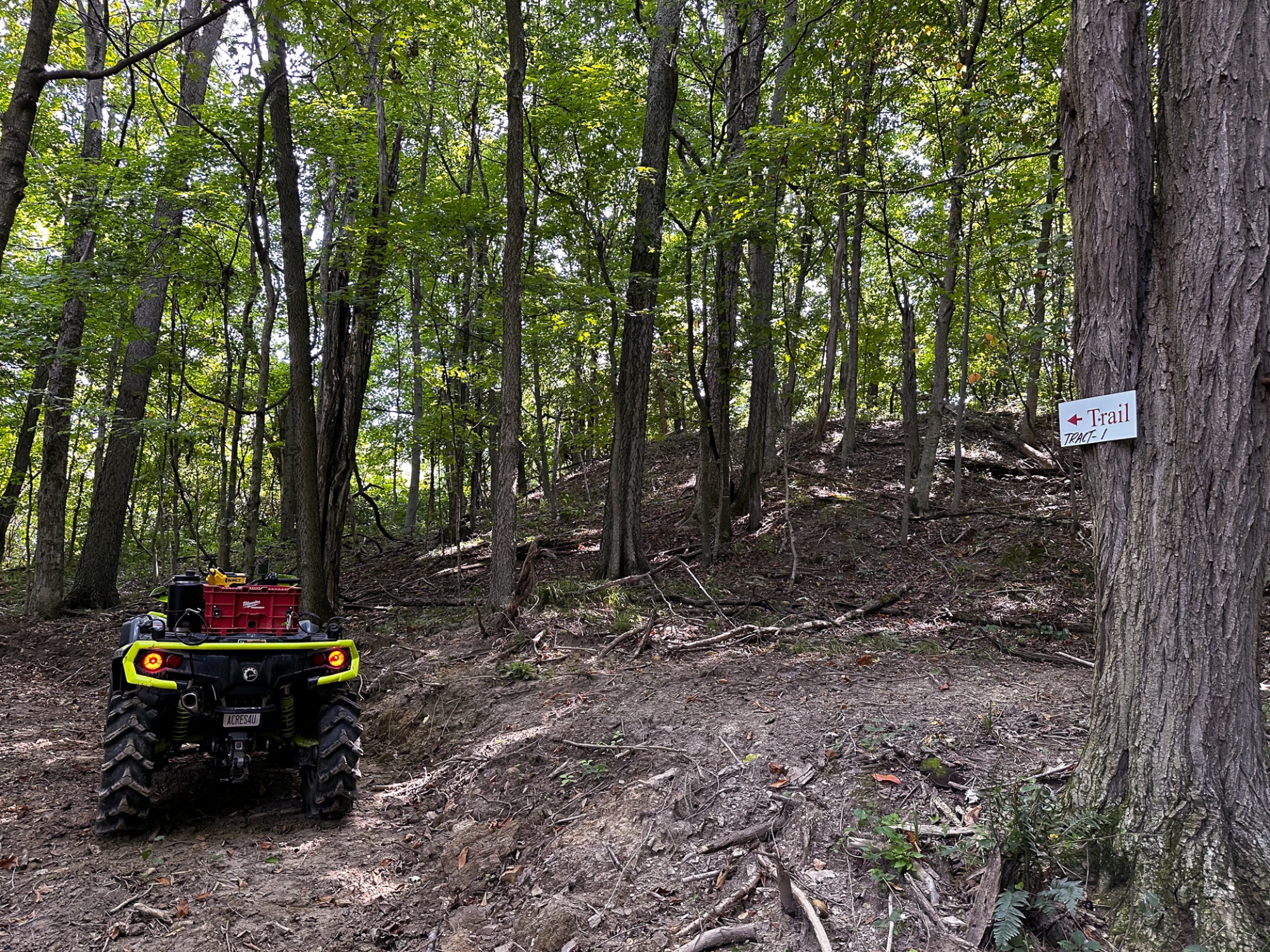
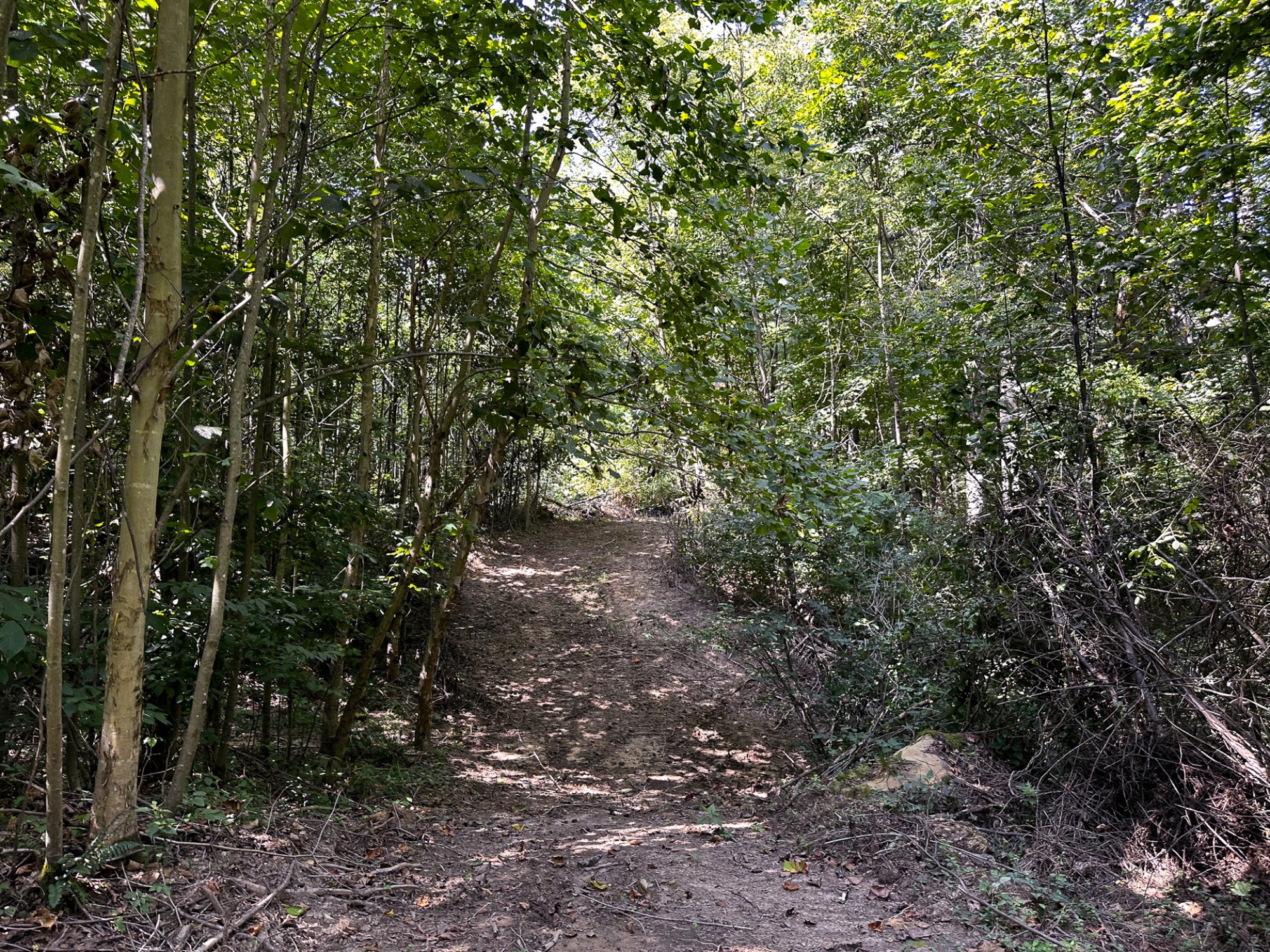
New Extensive Trail System
Multiple Build Spots
Very Easy Access to Southern Ohio Recreation Area & Gavin Power Wildlife Area (Public Hunting and Bridle Trails)
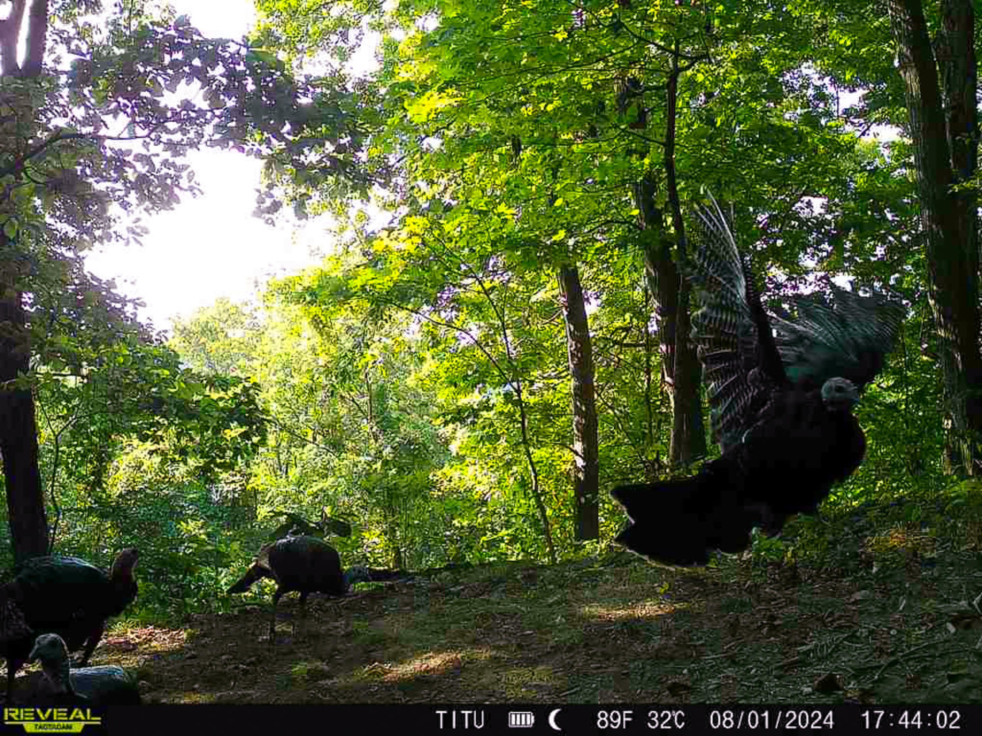
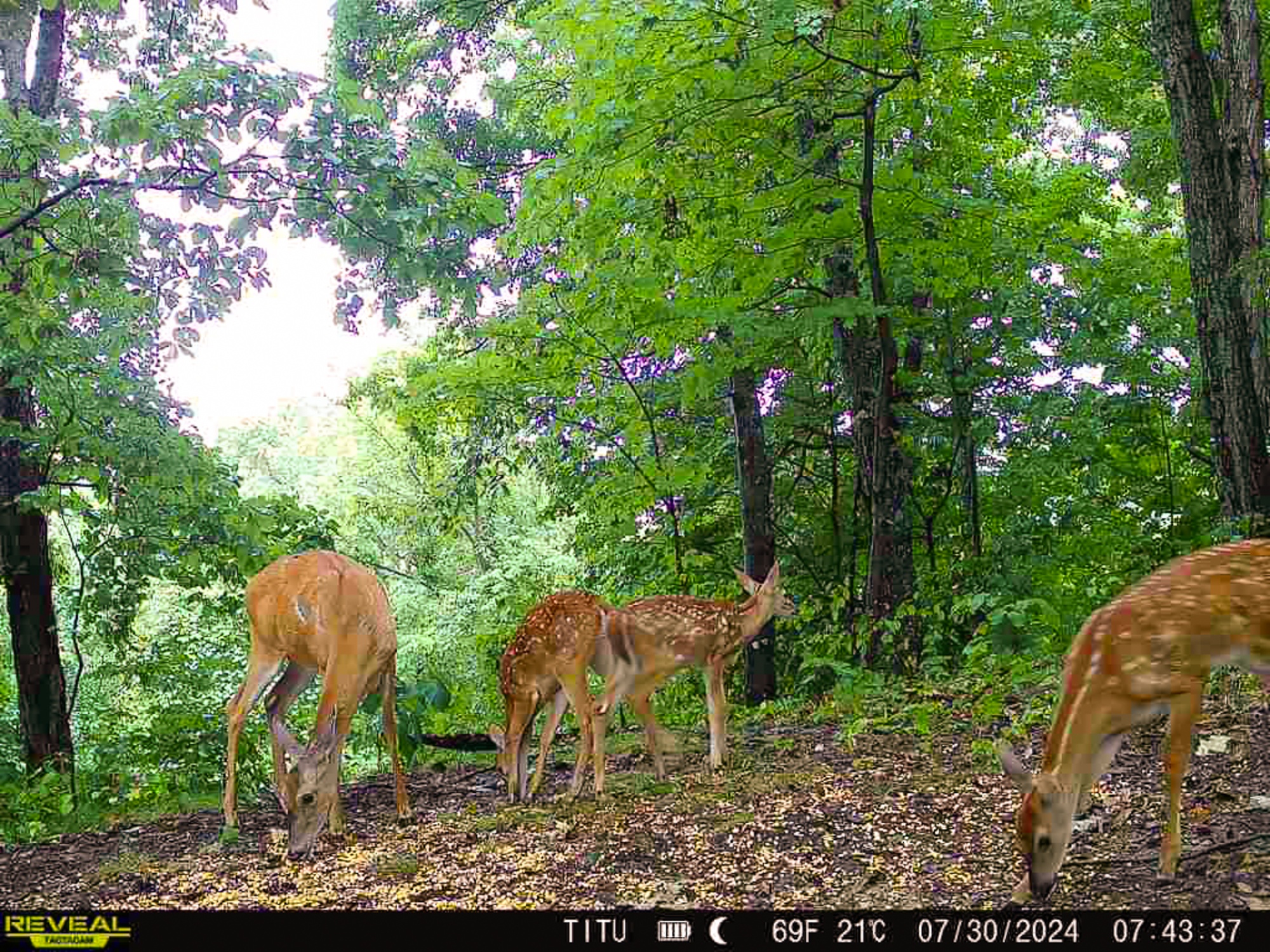
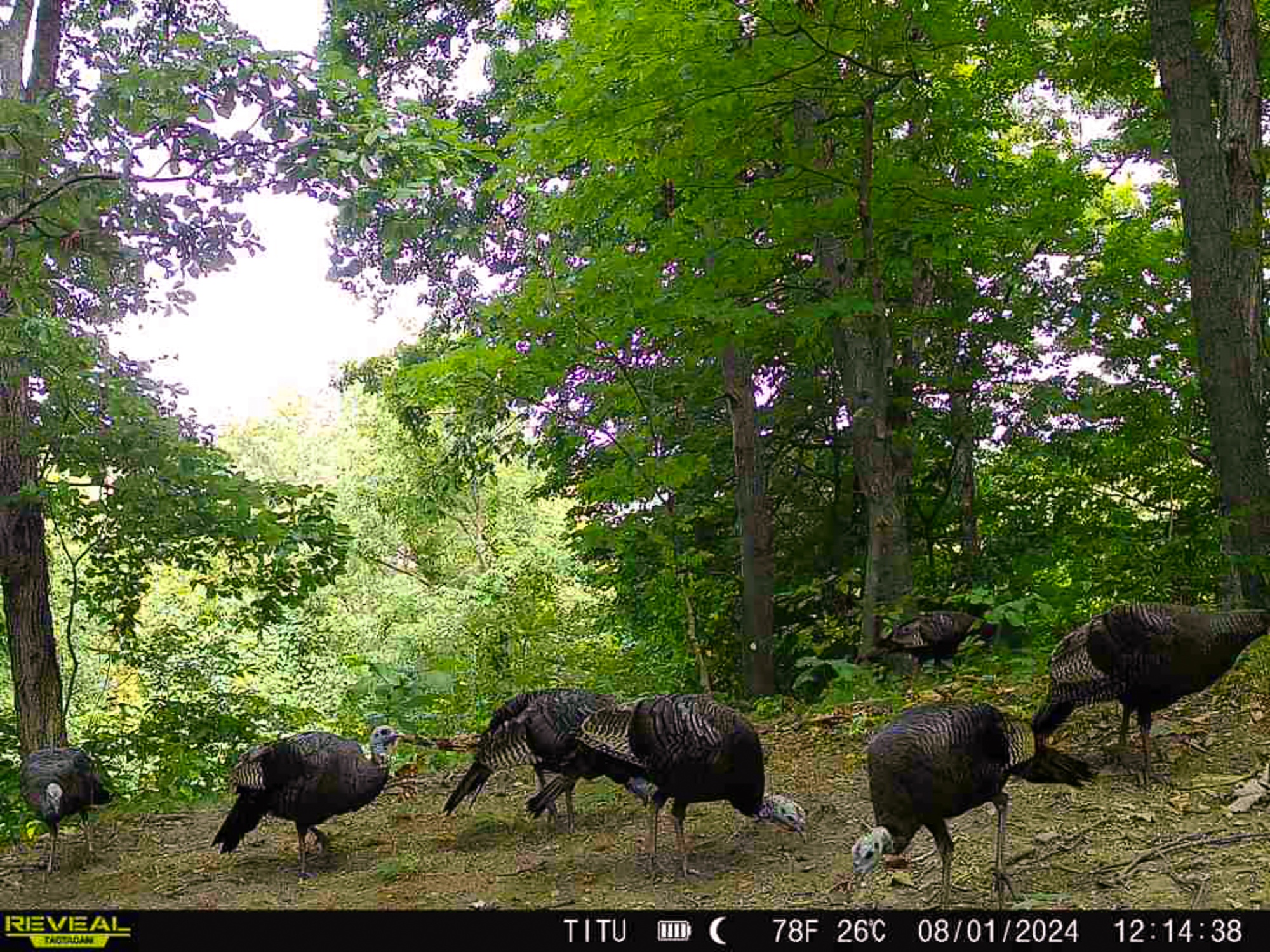
Loaded with Wildlife (Wildlife Pics from Tract 7)
Excellent Deer and Turkey Hunting
New Survey – Tract 1 – 5.009 Acres
Additional 5 Acres Available Adjacent to Property
Additional Tracts Available
No Zoning and No Deed Restrictions
AEP Electric on Property
Leading Creek Water Available at the Road
Meigs Local School District
Rutland Twp, Meigs County
Parcel #1101326009The Woods at Titus is Located: 4 Miles to Rutland
9 Miles to Wilkesville
10 Miles to Pomeroy
28 Miles to Jackson
29 Miles to Athens
46 Miles to Parkersburg, WV
95 Miles to Columbus
127 Miles to Cincinnati
129 Miles to DaytonCountrytyme Maps and Additional Information A Countrytyme advantage
Take the property lines into the field. On your phone, tap Walk property lines , allow your location when asked, and follow the blue dot in Tract Explorer to see your position in relation to the mapped boundary while you explore.
Walk property lines Property photos Show 56 more photos