This property has sold.
The interactive map and property-line walking tools remain available. Driving directions are not provided for sold properties.
Interactive property map
Explore this property map.
Switch aerial, topographic, soil, water, contour, and terrain layers while the mapped project boundary stays visible.
Property Documents
Property Description
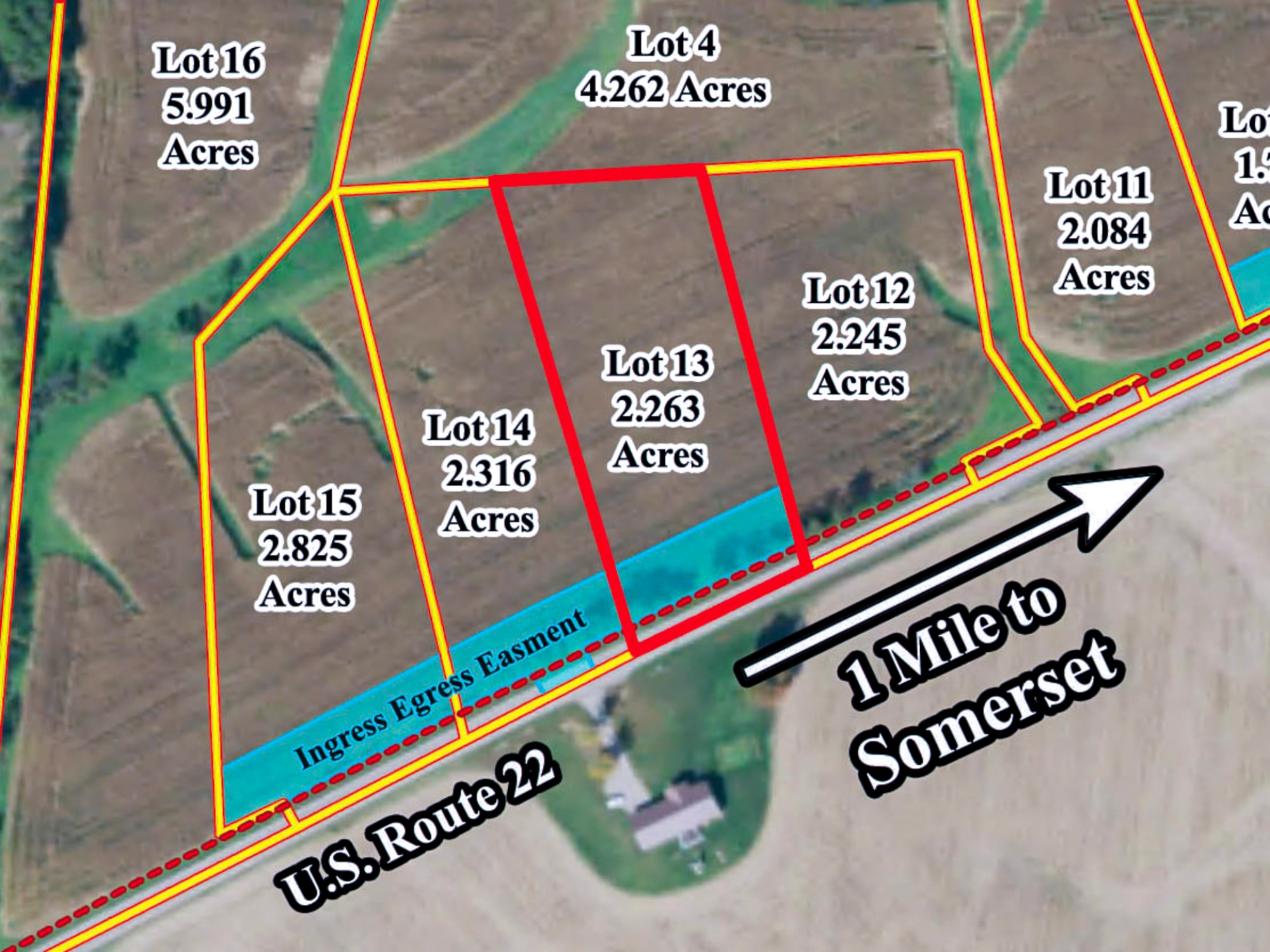
Lot 13 at Sheridan Estates2.2 Ac Estate Home Site Outside of Somerset
US-22, Somerset, Ohio
Perry County
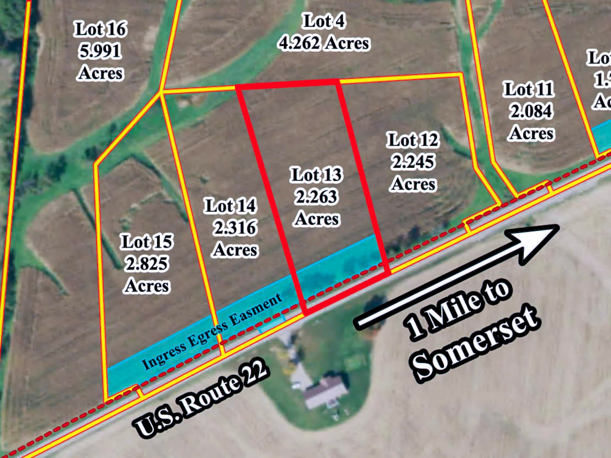
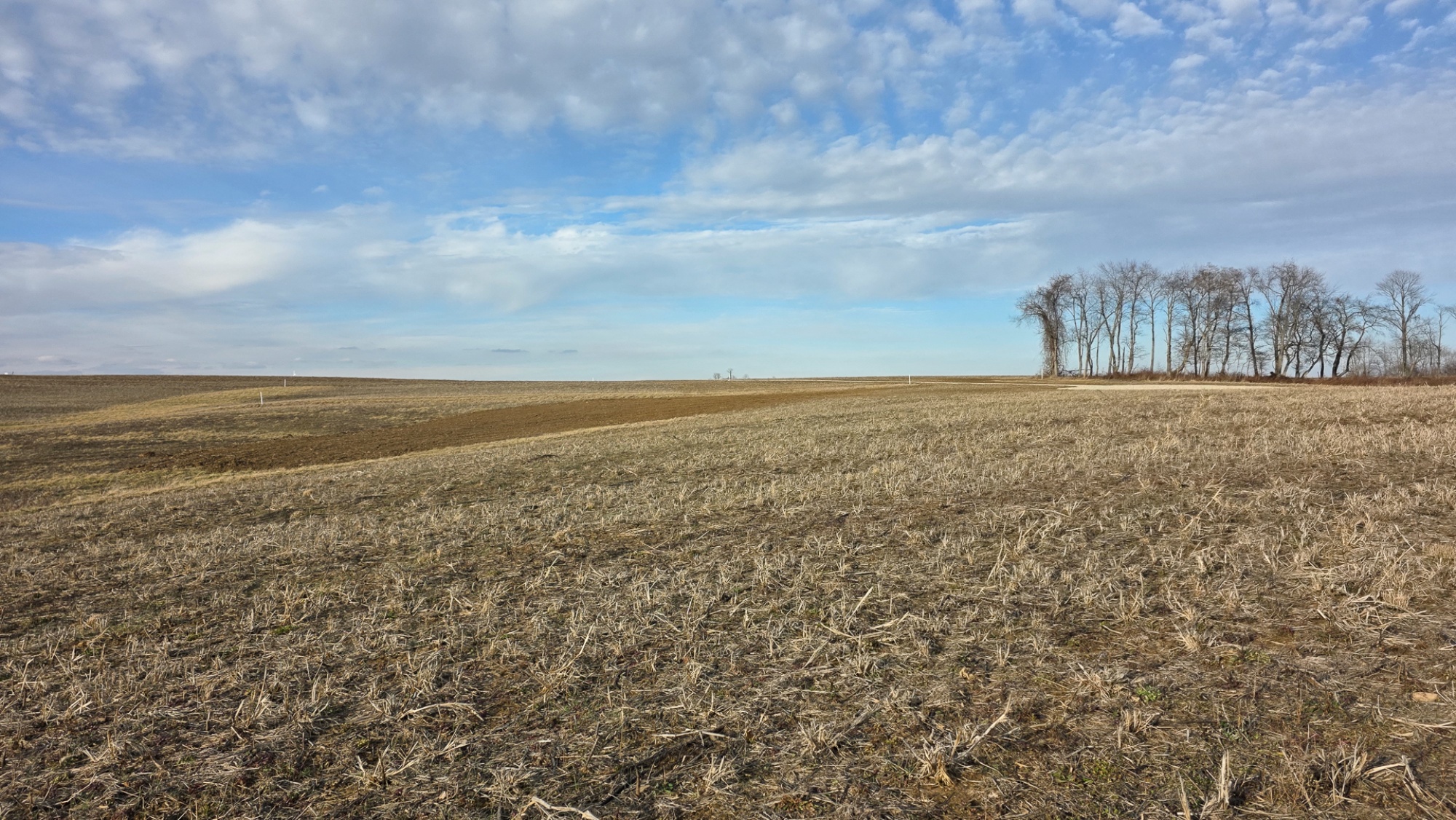
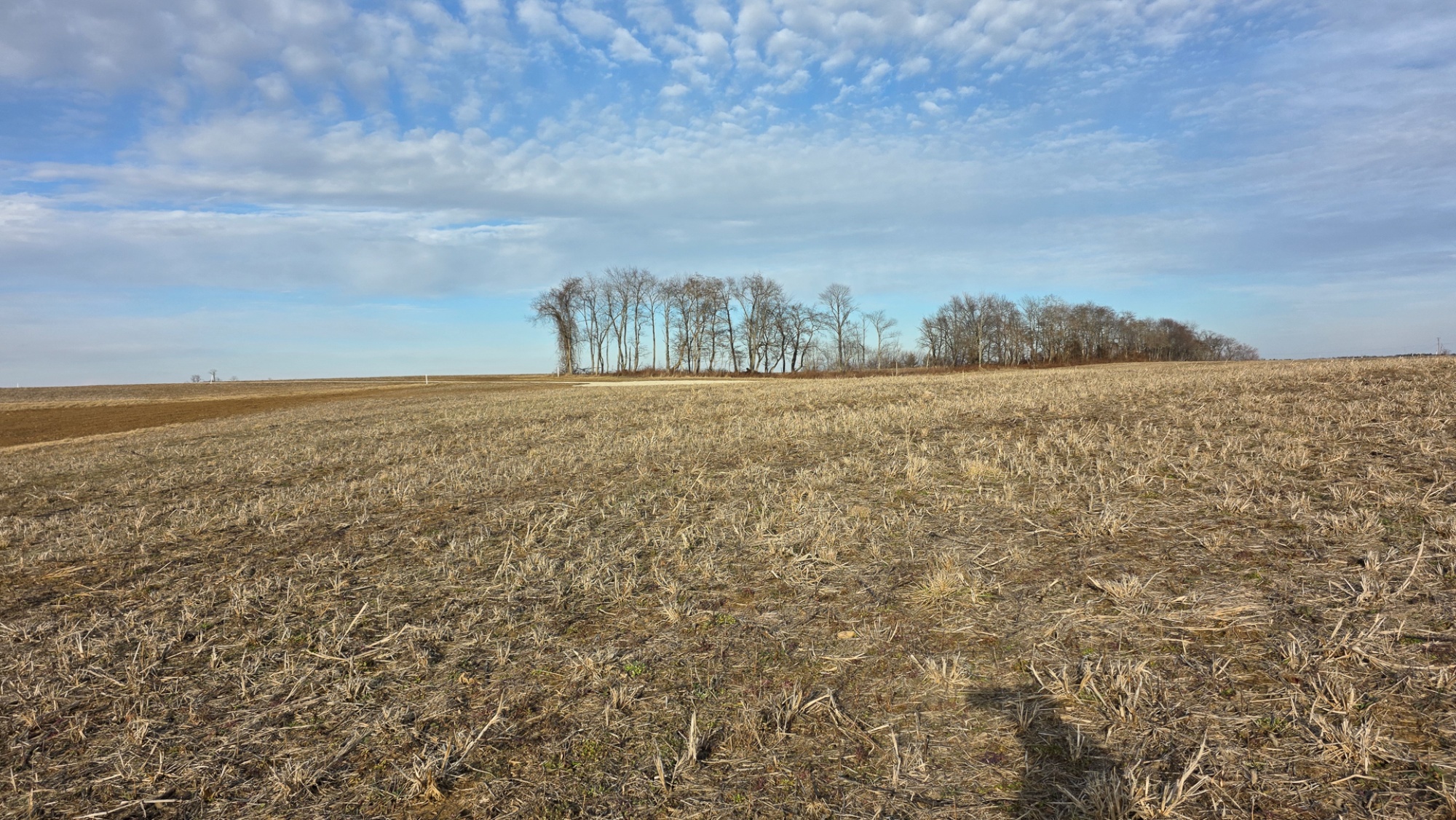
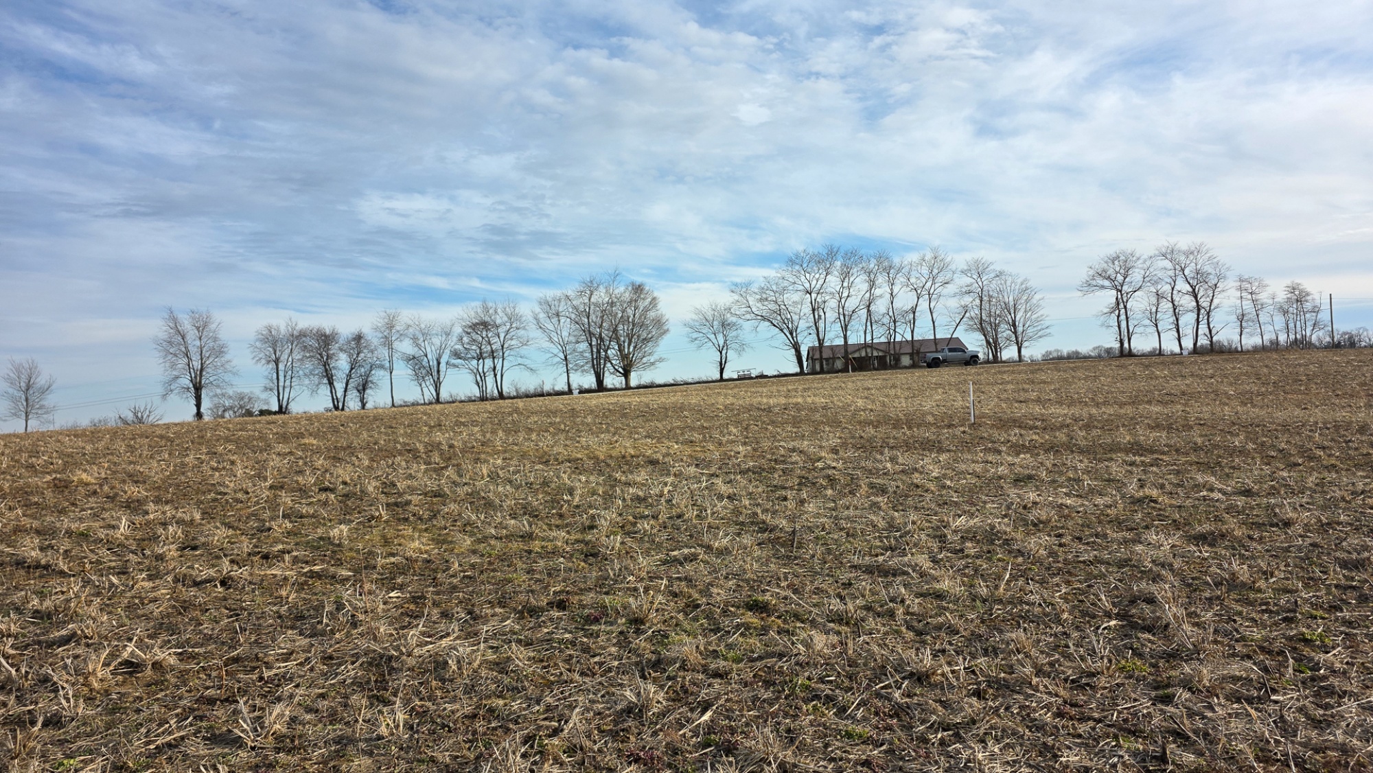
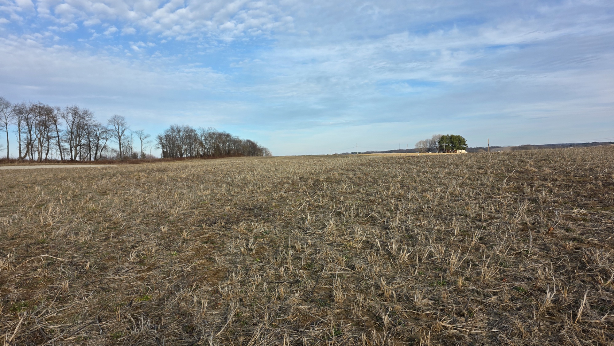
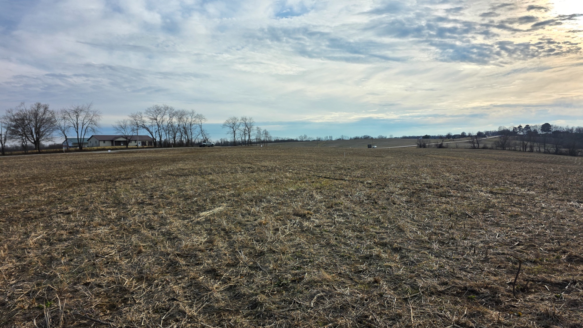
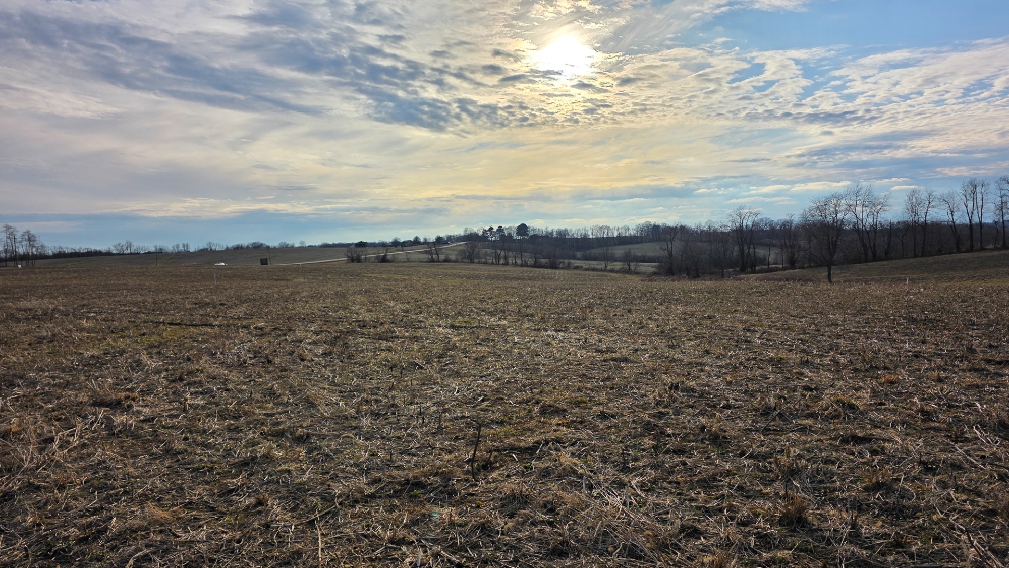
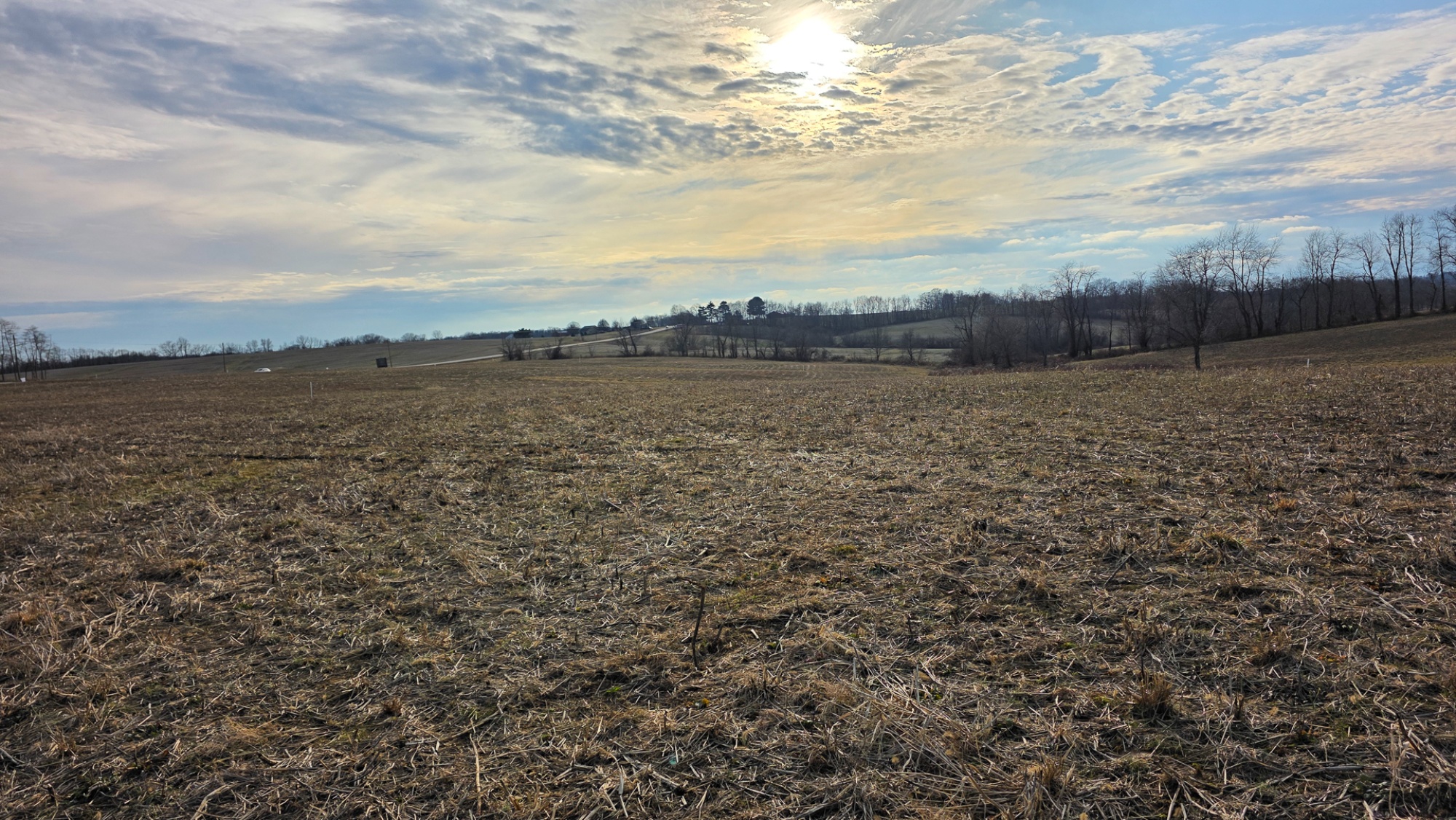
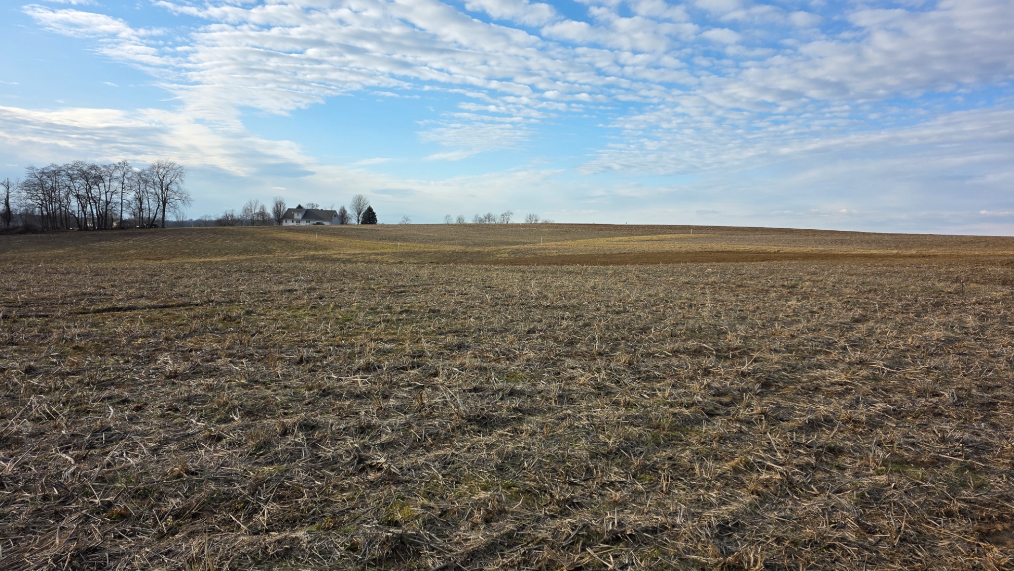
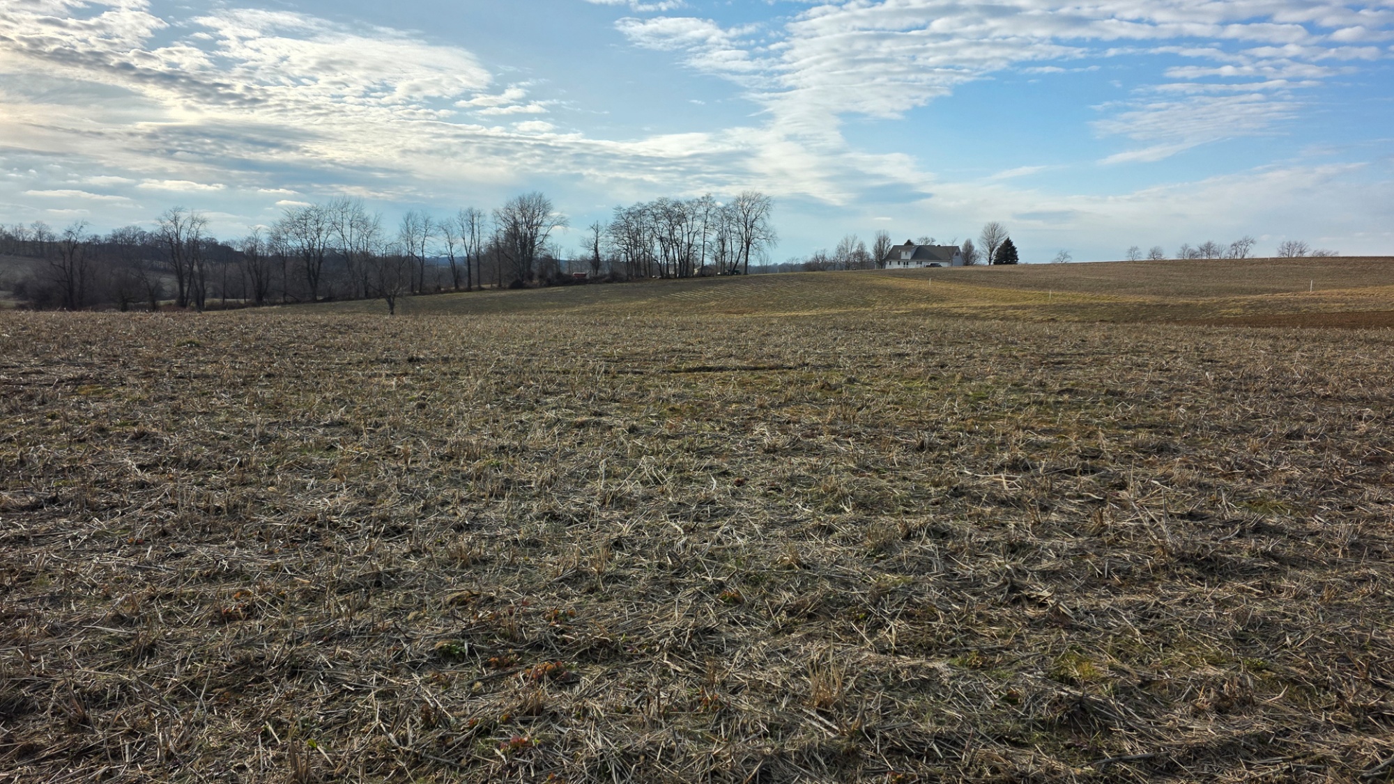
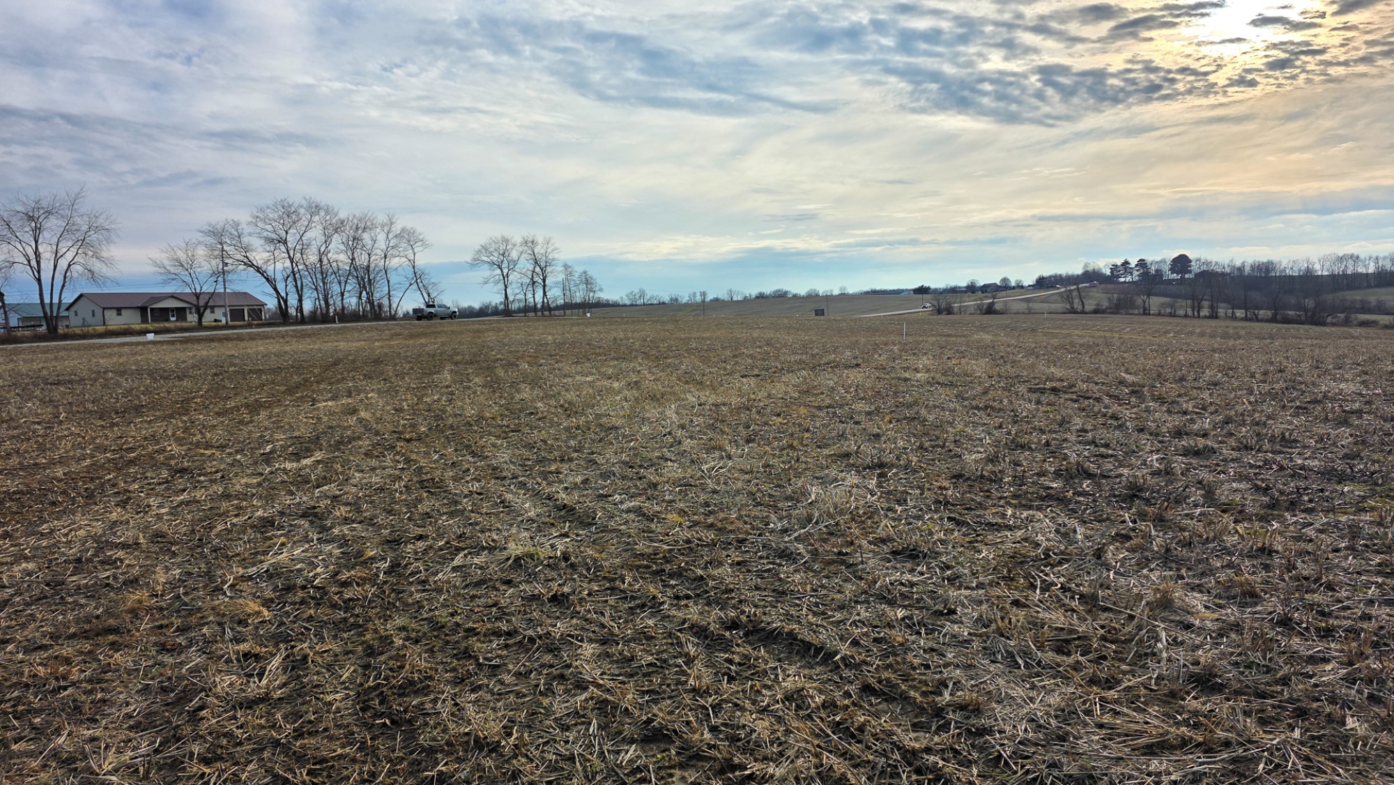
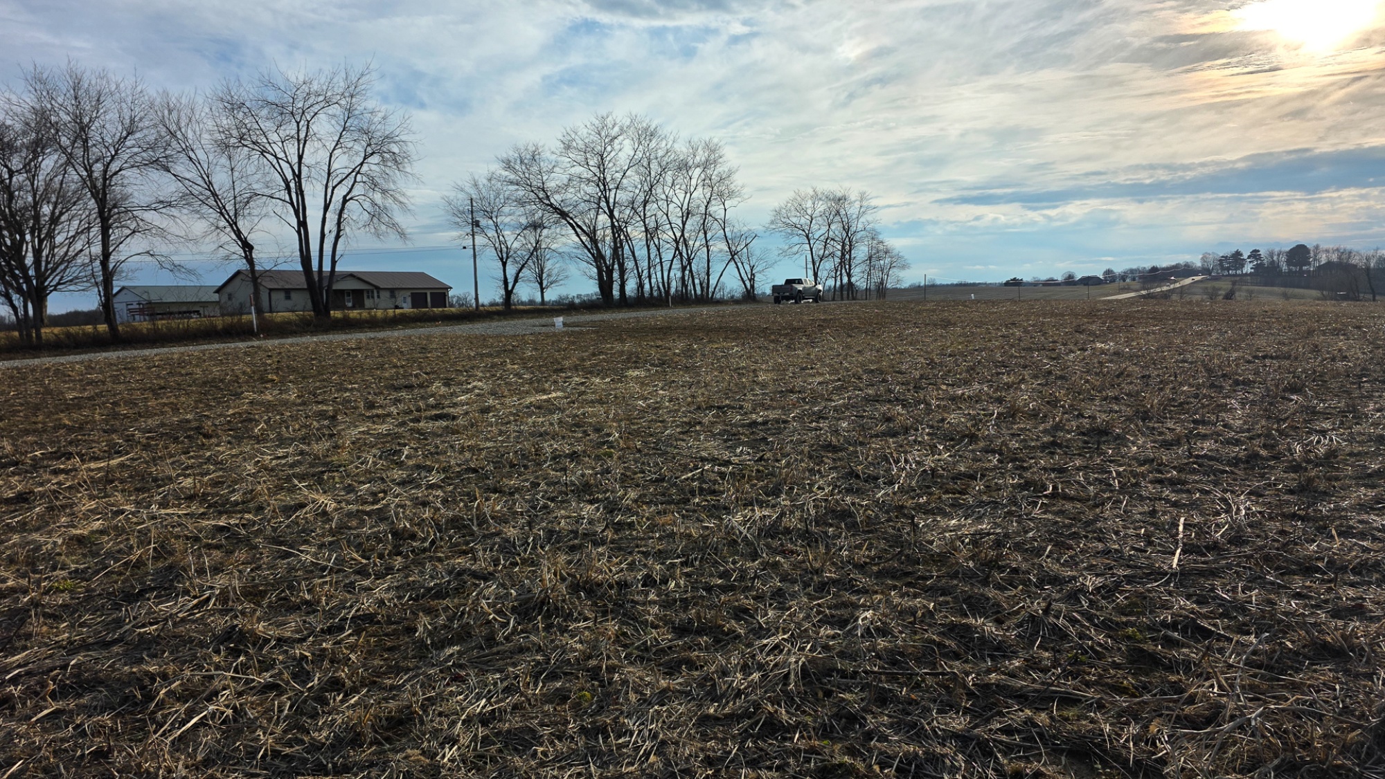
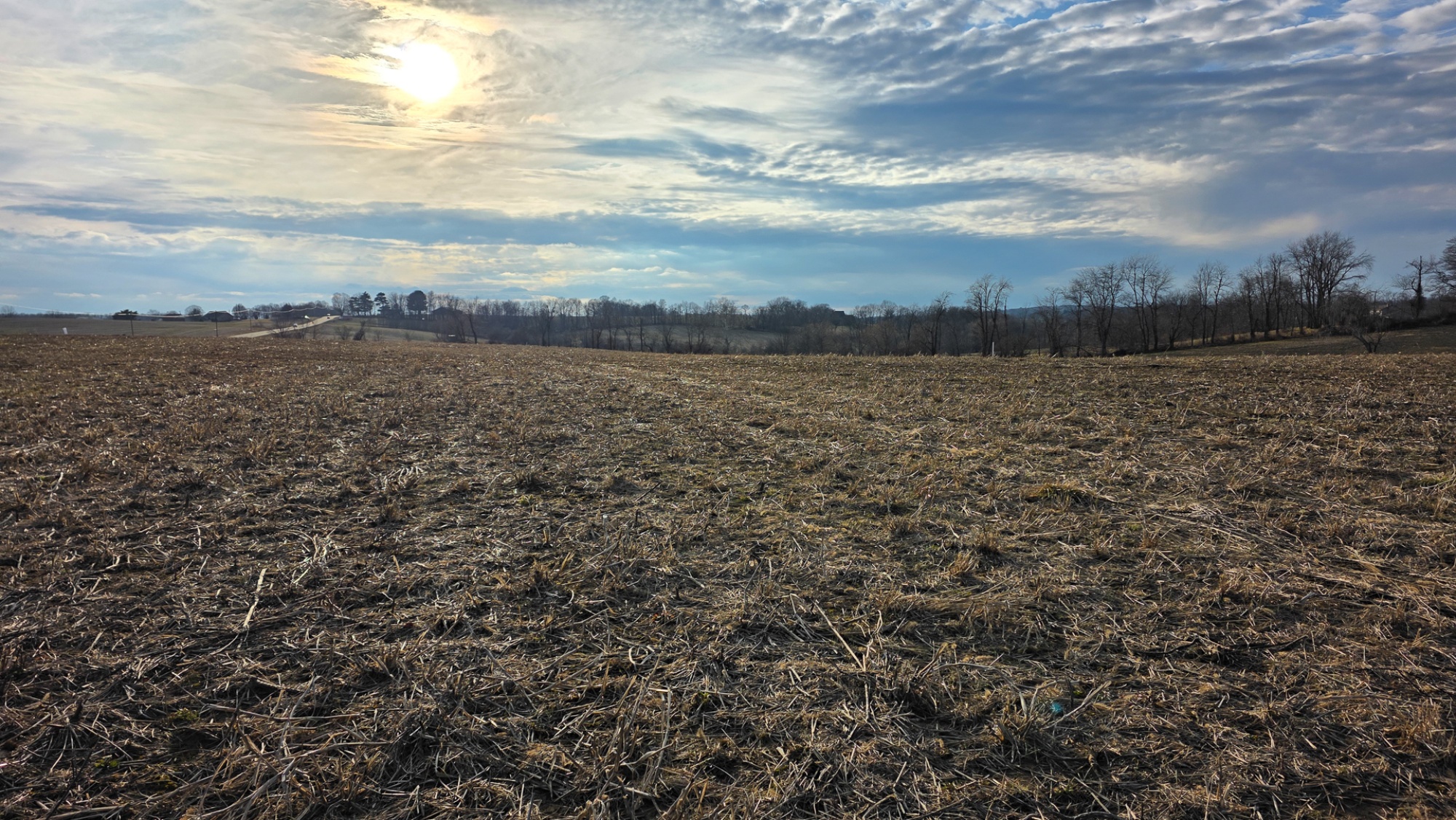
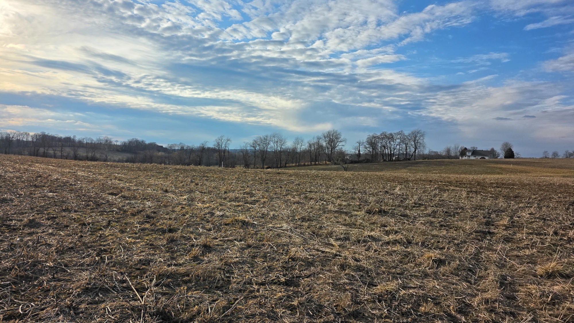
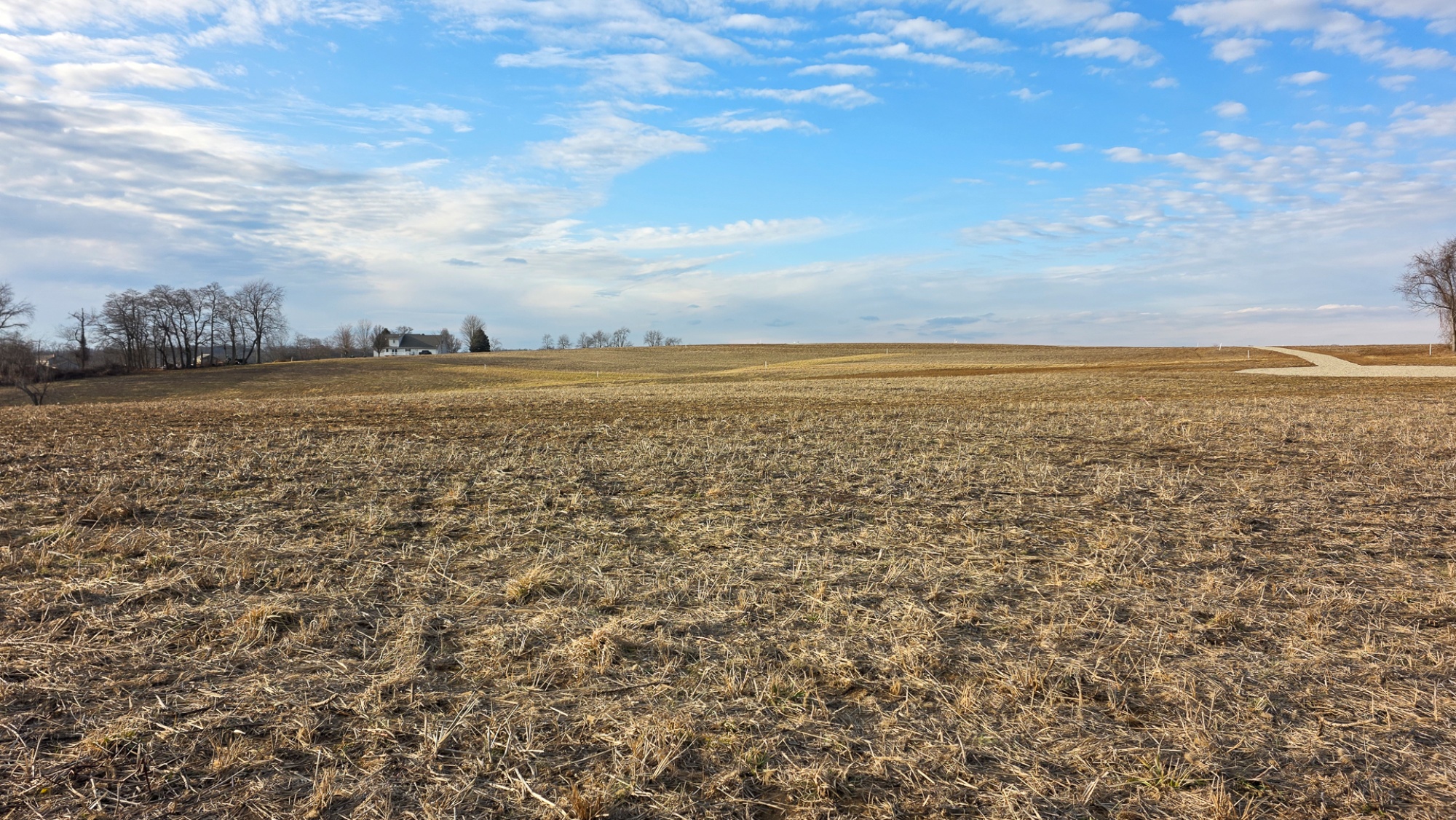
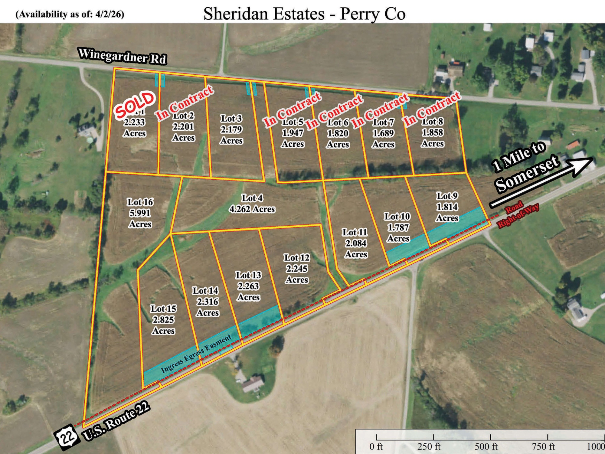
Lot 13 at Sheridan Estates is a 2.263-acre estate home site in the Northern Local School District, conveniently located just one mile outside Somerset. The property features nice rolling terrain—well suited for a walkout basement—along with scenic views and a beautiful park-like setting that creates a peaceful, open feel while still offering plenty of usable ground for your build. A new shared common access serving Lots 12–16 provides clean, easy entry to the property, making it simple to step right in and start planning your future home. With soil testing complete for onsite septic, AEP electric available at the road, and the freedom to choose your own builder with no time limit to build, this lot offers both flexibility and long-term peace of mind. Whether you're ready to build now or planning for the future, this property delivers a strong combination of location, setting, and convenience. Just minutes from town, yet within easy reach of Perry State Forest, Buckeye Lake, and over 22,000 acres of Wayne National Forest, you’ll have no shortage of ways to enjoy the outdoors while still staying close to everyday essentials.
Sheridan Estates is located:
0 US Route 22 NW, Somerset, OH 43783
GPS Coordinates: 39.796005, -82.322454
Google Map Link
https://countrytyme.com/refFiles/Ohio/Sheridan Estates/Sheridan Estates Driveway Agreement (Lots 12-16).pdf
A Countrytyme advantage
Take the property lines into the field.
On your phone, tap Walk property lines, allow your location when asked, and follow the blue dot in Tract Explorer to see your position in relation to the mapped boundary while you explore.
Walk property linesProperty photos