Walk this property with confidence.
Use GPS directions to reach the tract. Then open the property lines on your phone and follow your blue location dot as you walk, so you can see where you are in relation to the boundaries.
Interactive property map
See the land before you visit.
Switch aerial, topographic, soil, water, contour, and terrain layers while the mapped project boundary stays visible.
Property Documents
Property Description
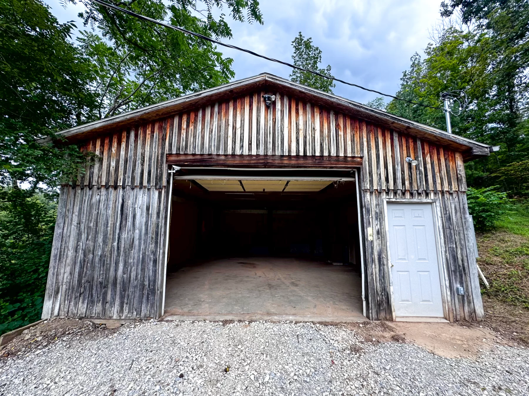
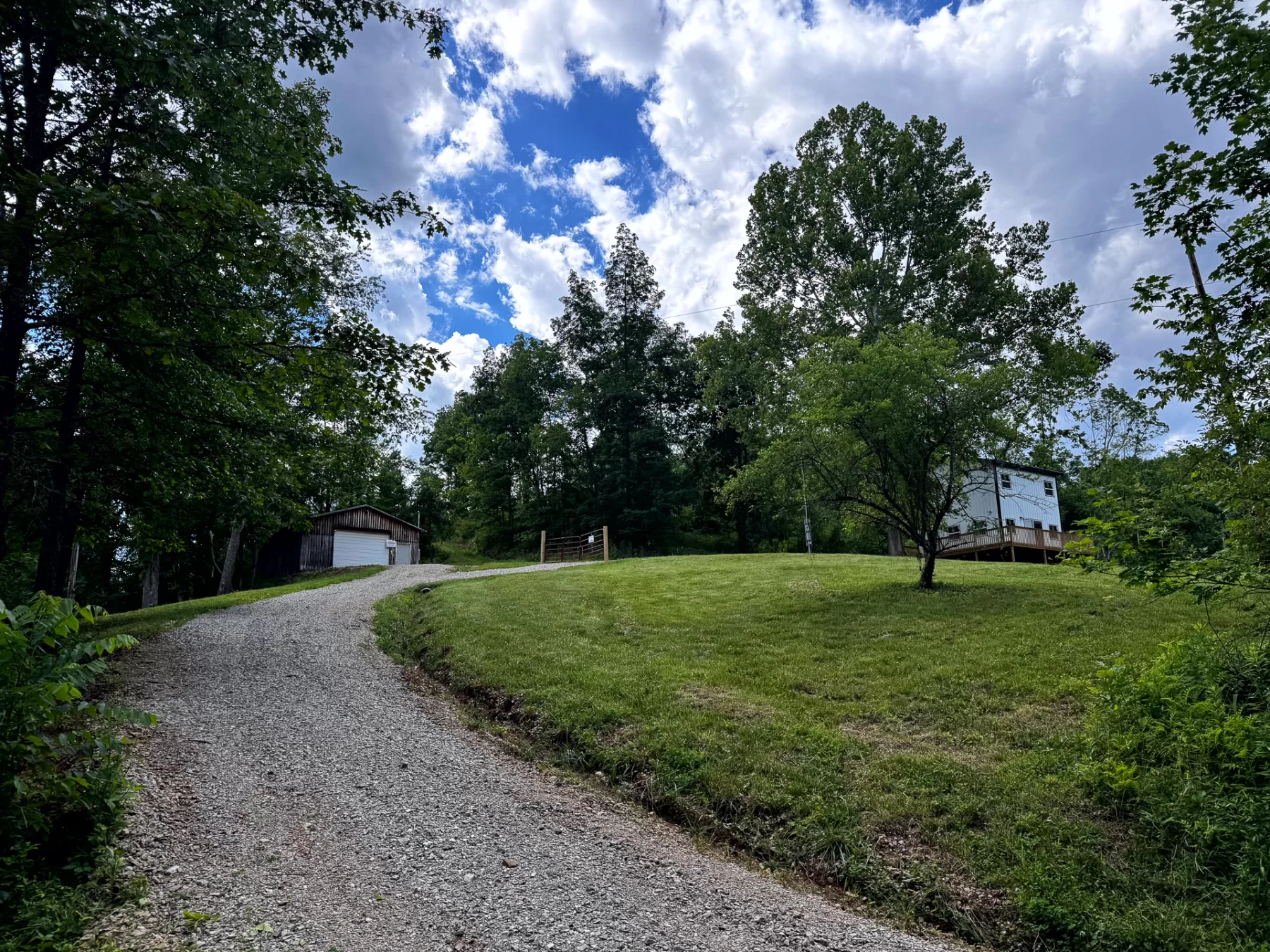
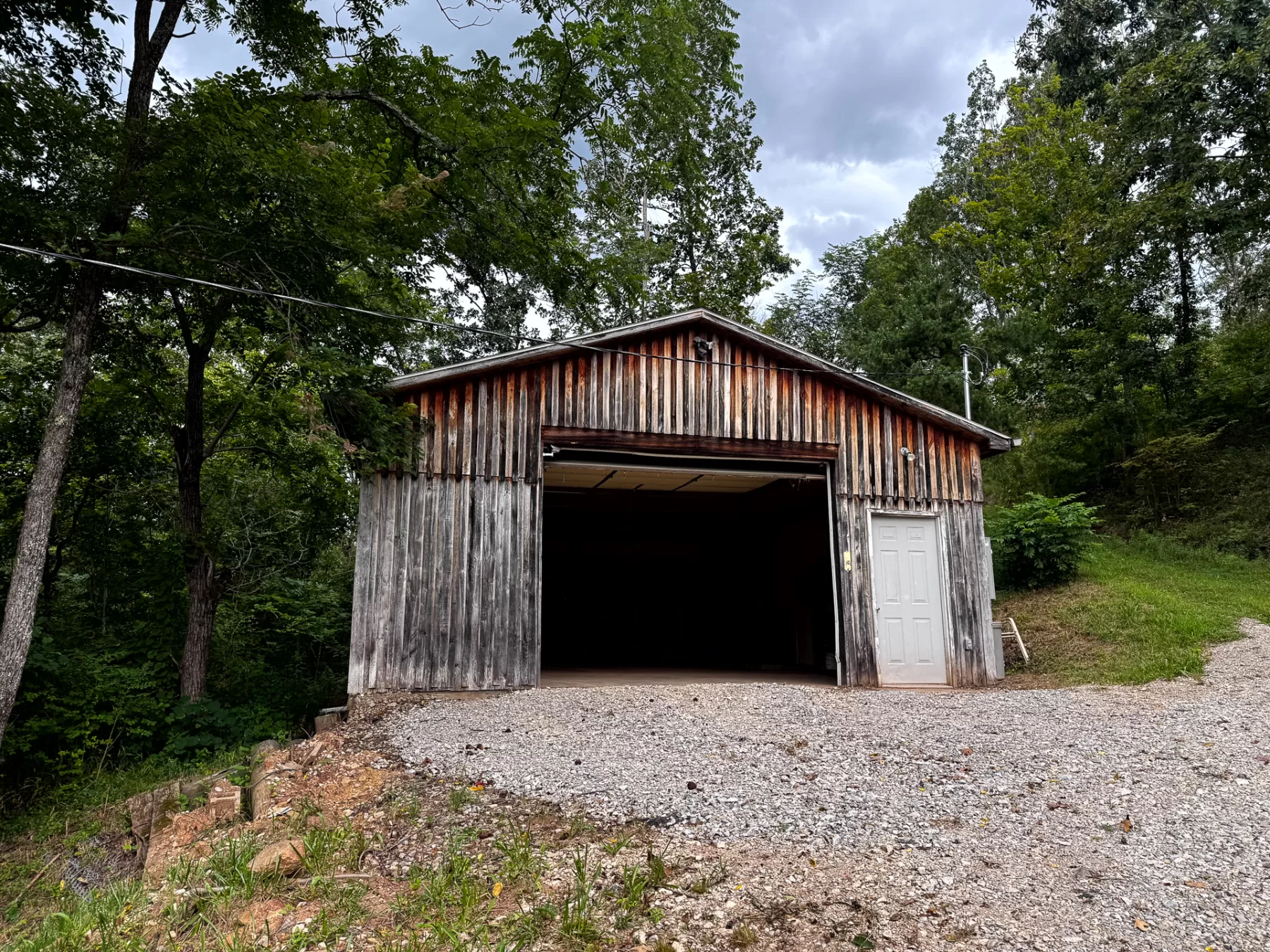
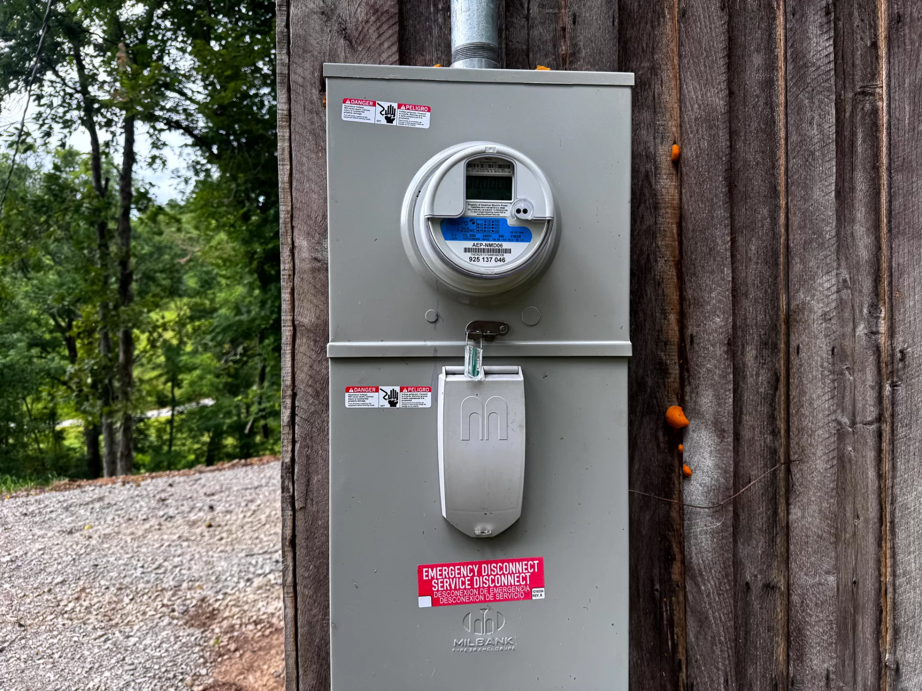
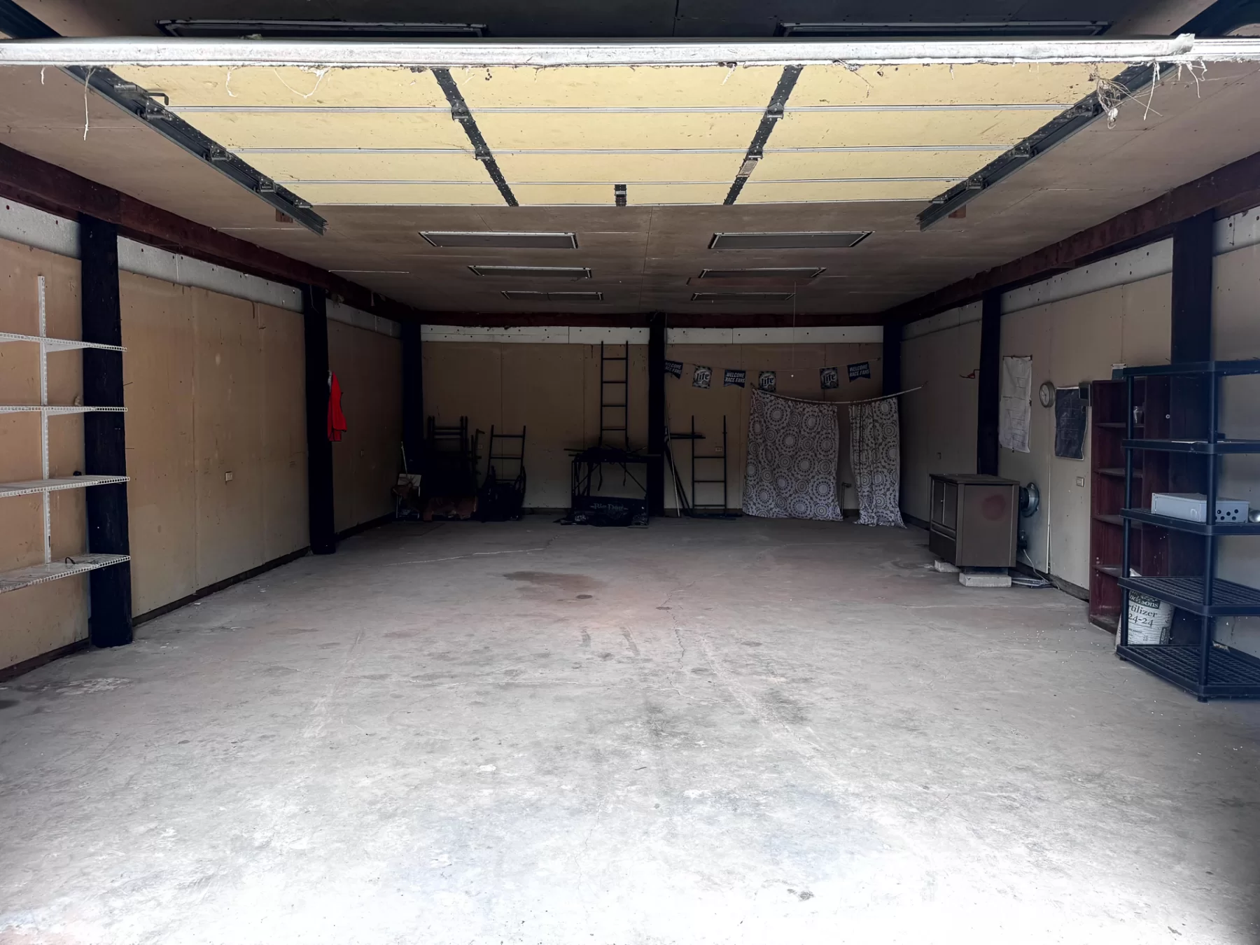
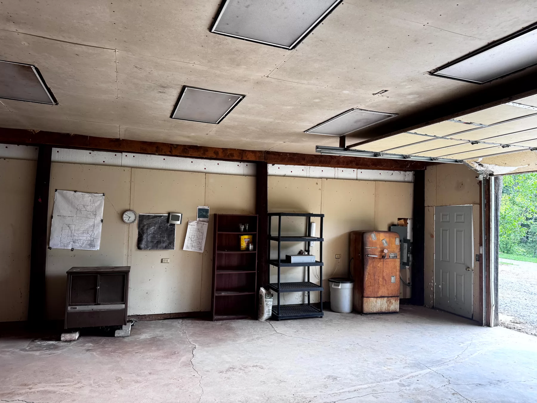
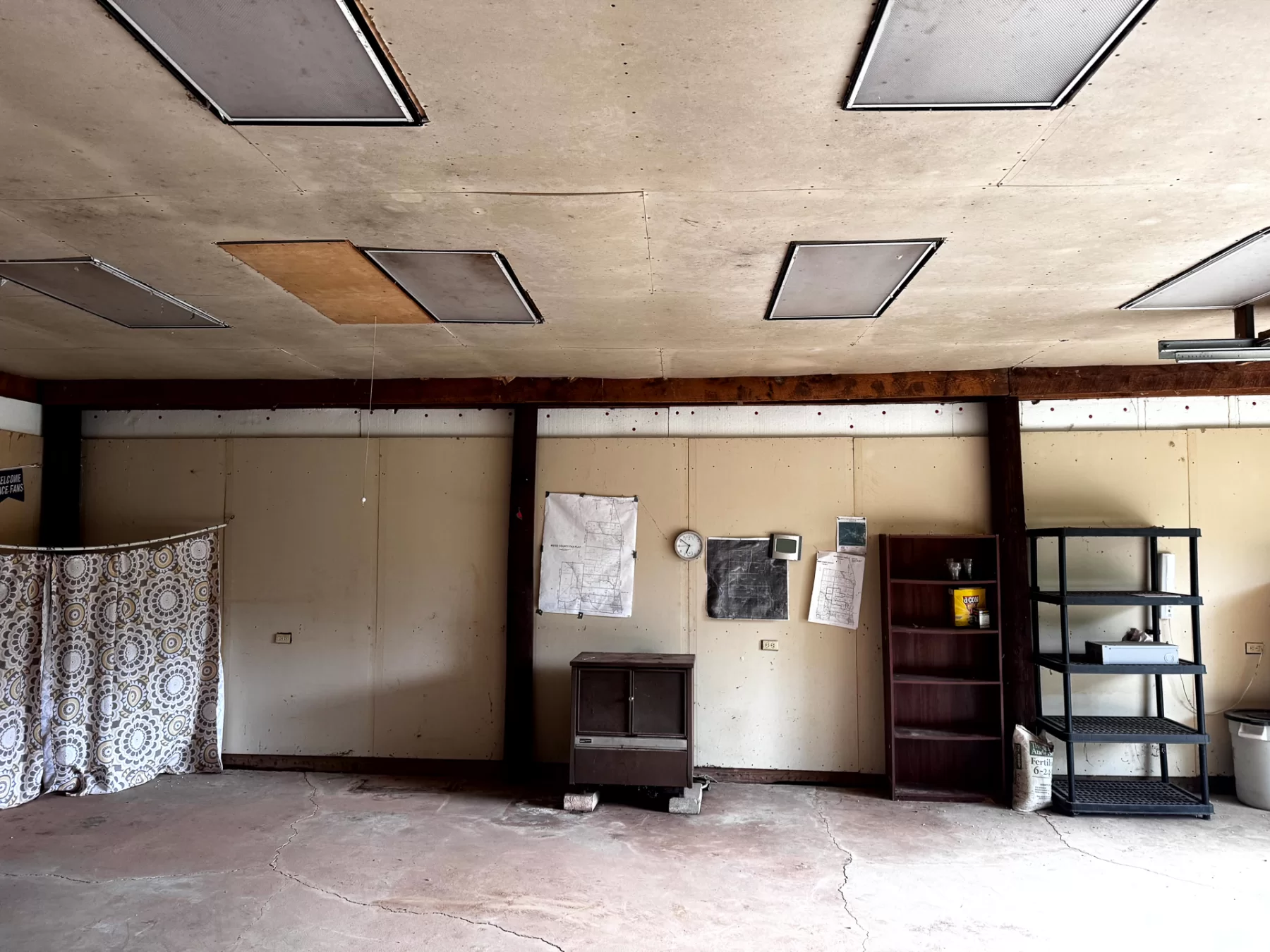
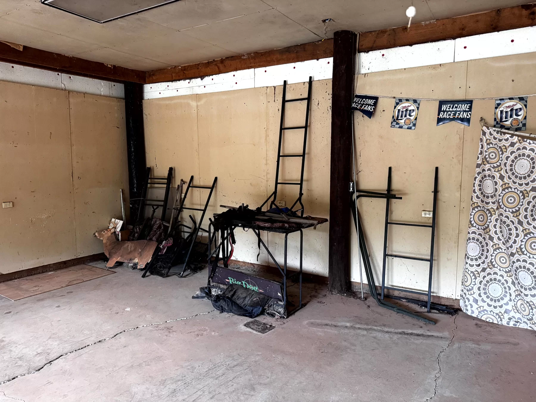
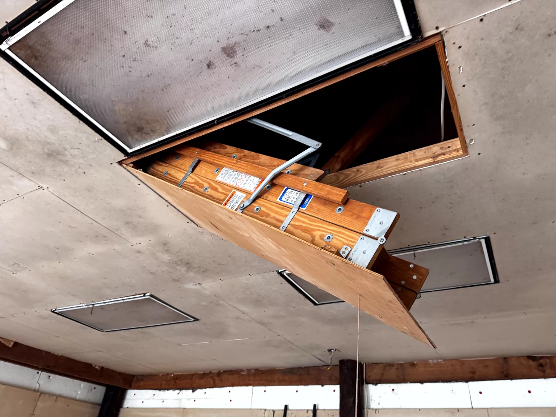
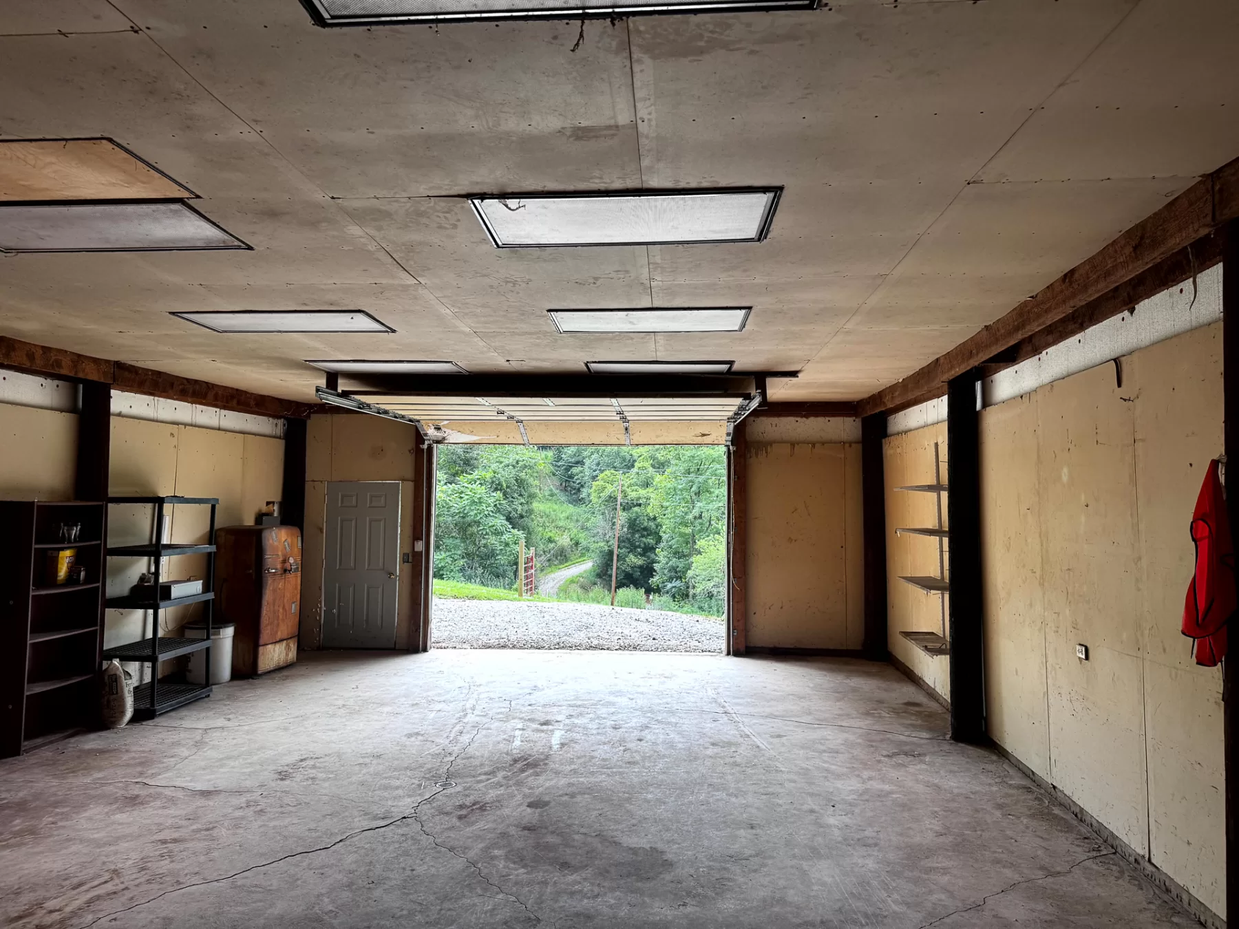
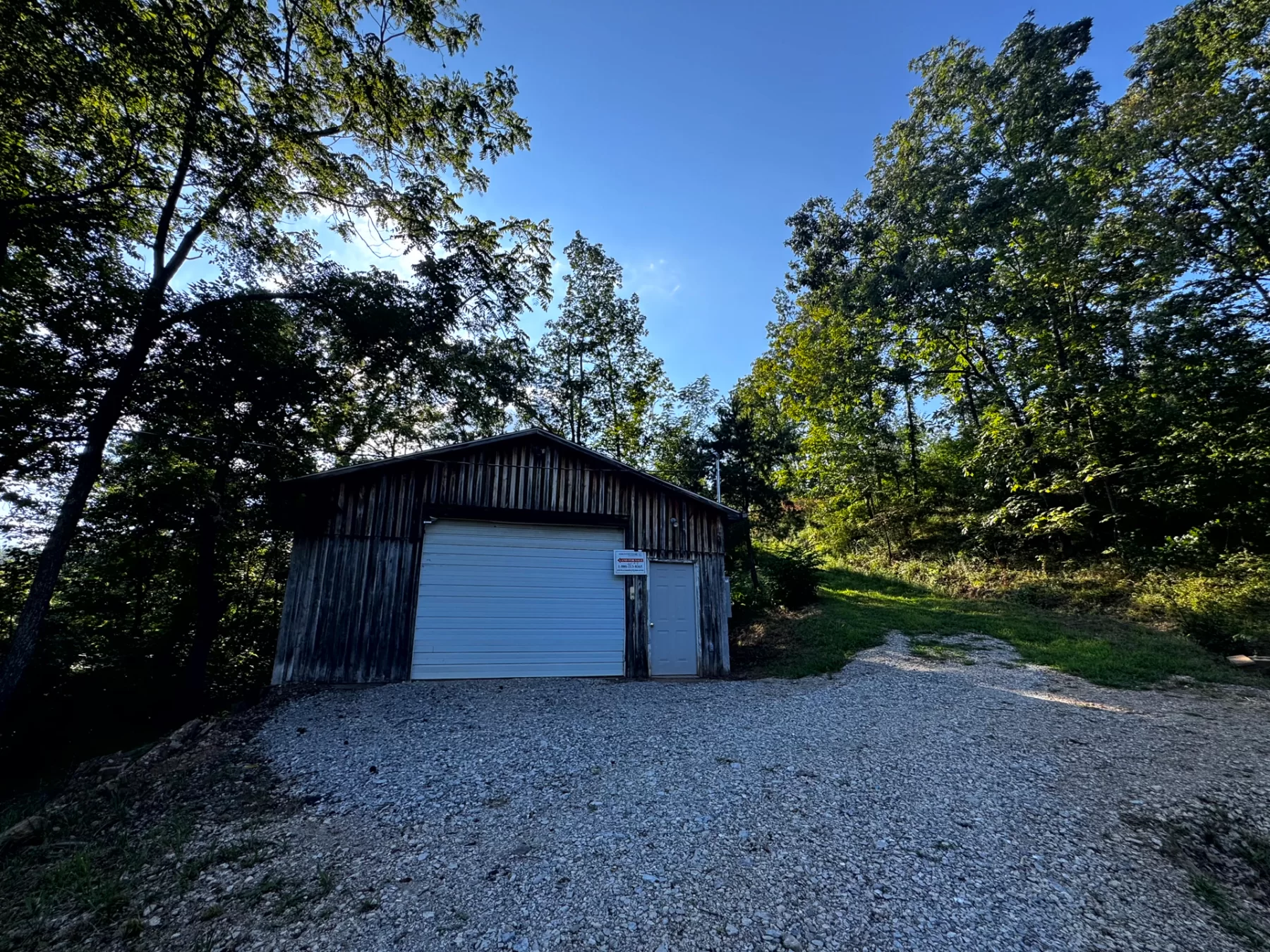
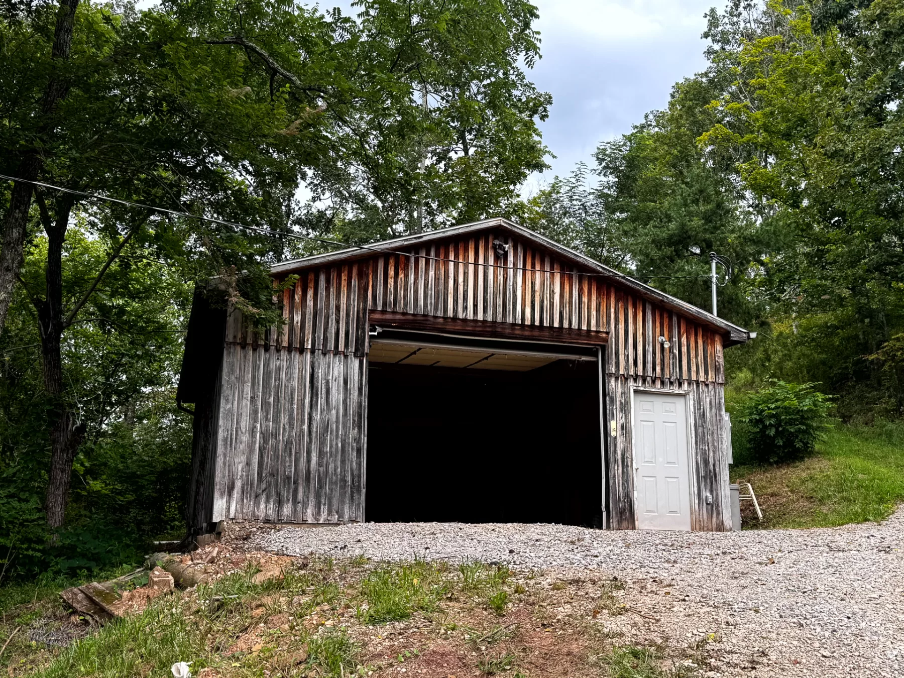
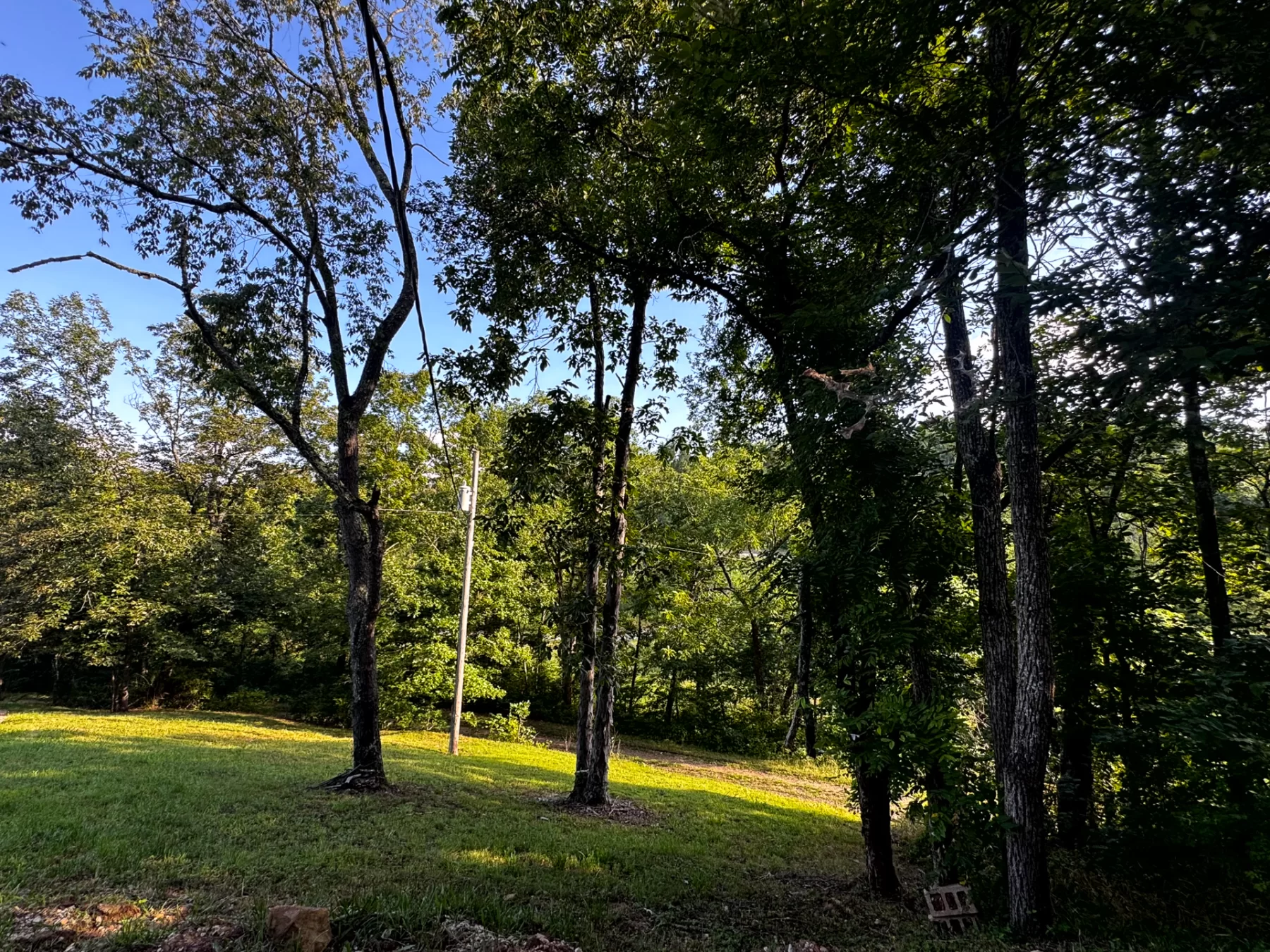
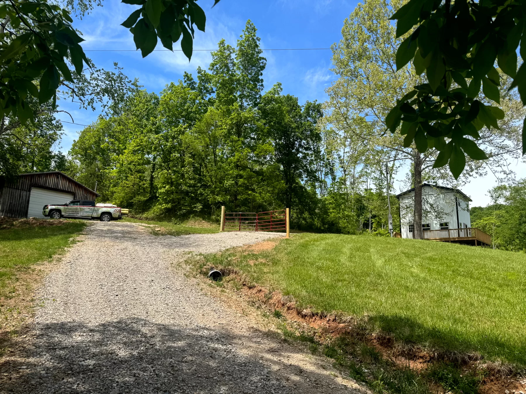
Tract 4 at Ohio River Retreat offers 5.464 acres with a fully wired 24’x36’ pole building in Olive Township, Meigs County. With AEP electric already installed, the building provides plenty of room for ATVs, boats, tools, equipment, and all your outdoor toys. It could also serve as a convenient base for hunting, recreation, or future plans for the property.A shared gravel easement provides access from a quiet dead-end road, while ample road frontage adds flexibility. Nice woods and trails throughout the property make it easy to explore on foot or by ATV, and the remote country setting offers plenty of privacy and abundant wildlife. With no zoning and no deed restrictions, you have the freedom to make the property your own.
All of this, plus the Ohio River is just next door, with a public boat ramp down the road for fishing, boating, and kayaking.
- 24’x36’ Pole Building with Garage Door
- Wooded with a Mix of Mature Trees and Young Growth
- Fully Wired
- Plenty of Room for All Your Outdoor Toys
- Shared Gravel Easement off of Quite Dead End Road
- Ample Road Frontage
- Easy Access to the Ohio River, Boat Ramp Down the Road
- Beautiful Remote Country Setting
- Loaded with Wildlife
- 5.464 Acres - New Survey
- Additional Tracts Available
- Tract 4 at Ohio River Retreat
- All Mineral Rights Transfer with no active leases (ATO)
- No Zoning and No Deed Restrictions
- AEP Electric Installed
- Olive Twp, Meigs County
- Eastern Local School District
- Parcel # 0901356000
A Countrytyme advantage
Take the property lines into the field.
On your phone, tap Walk property lines, allow your location when asked, and follow the blue dot in Tract Explorer to see your position in relation to the mapped boundary while you explore.
Walk property linesProperty photos